

Stage 29A A day around Figuig
Salam Alikam
Today found us off into town for some food shopping and then after lunch a walk to the now Closed Border Crossing between Morocco & Algeria, coming back to the Hotel/Campsite via a route that would take us back through the some of the Palmerie .
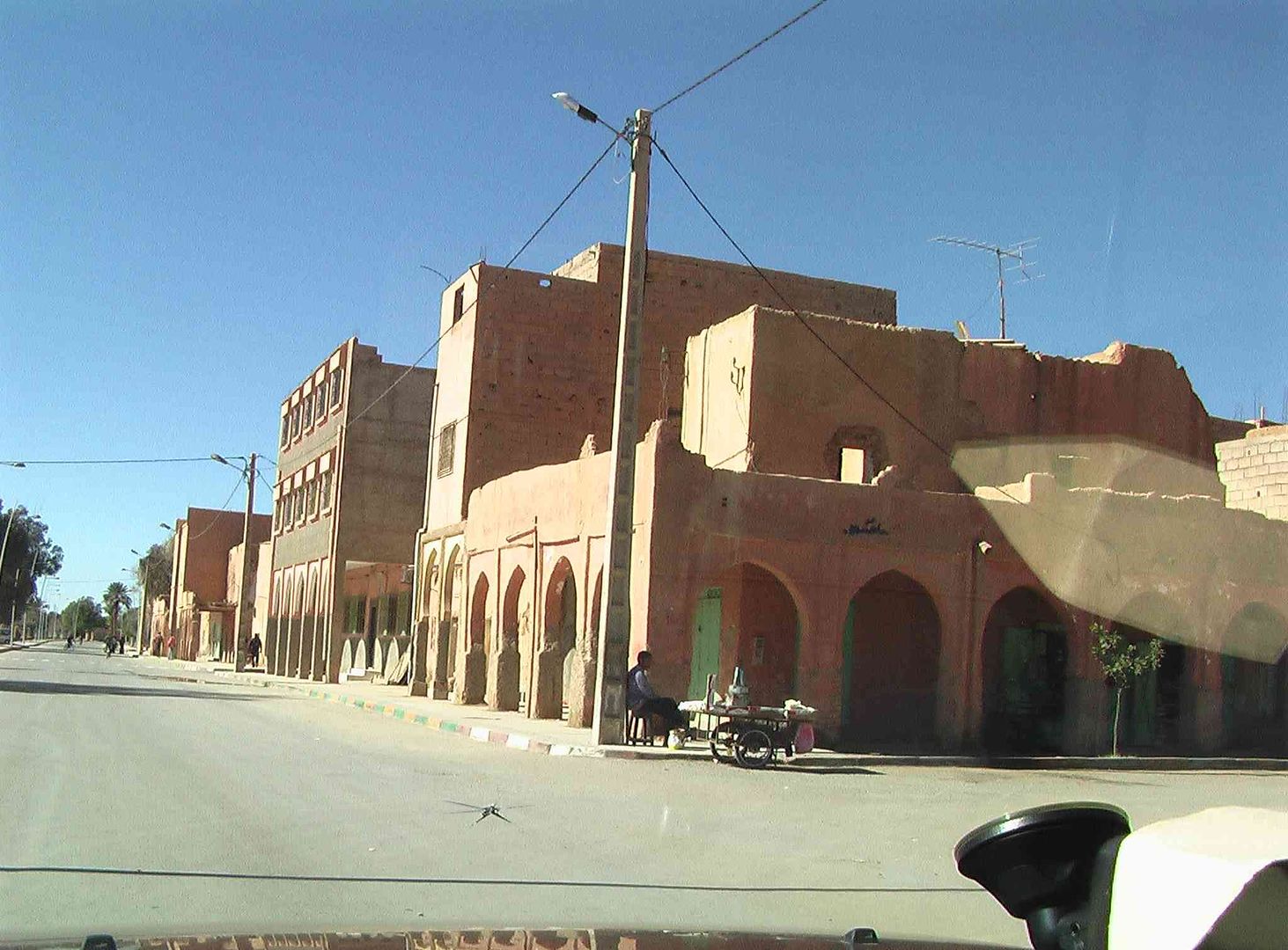
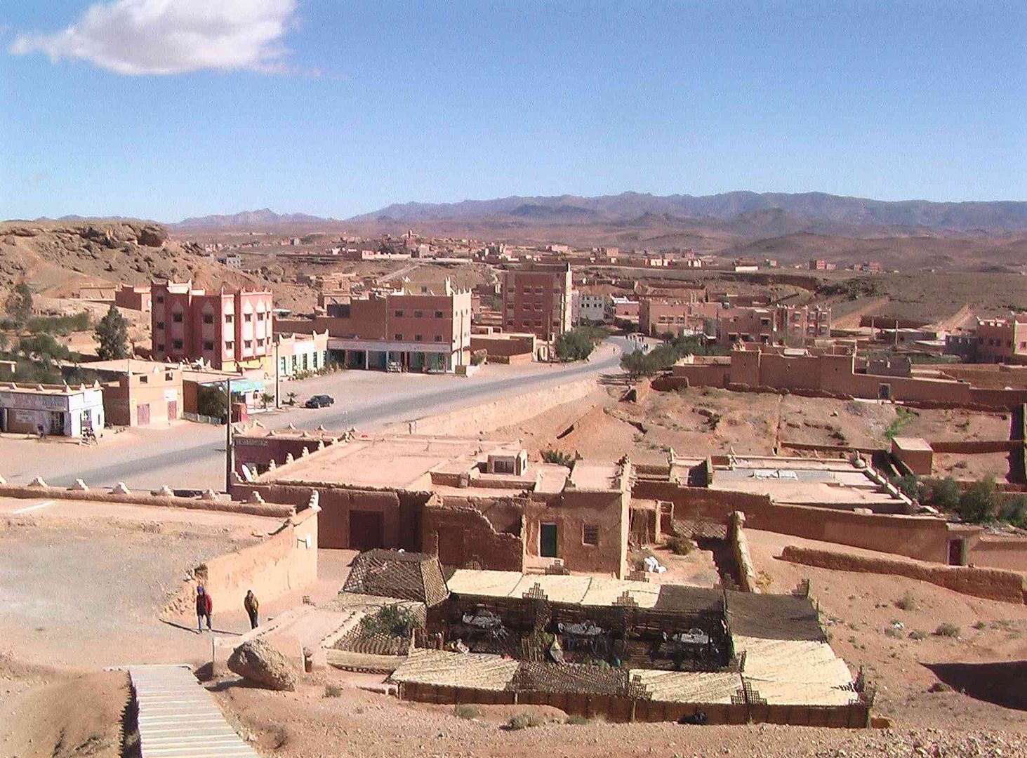
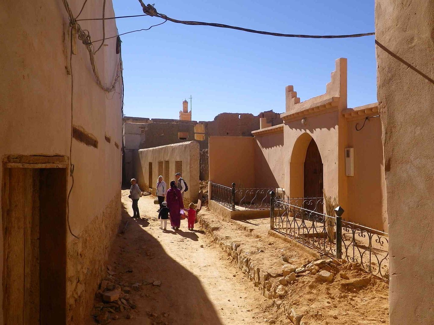
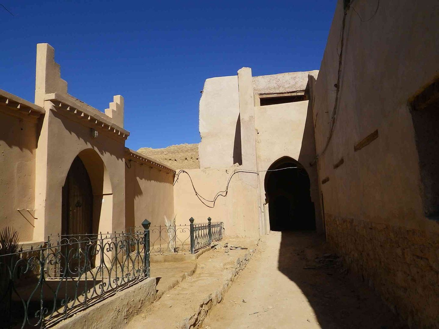
So first off to the food shops, passing by some of the old parts ..
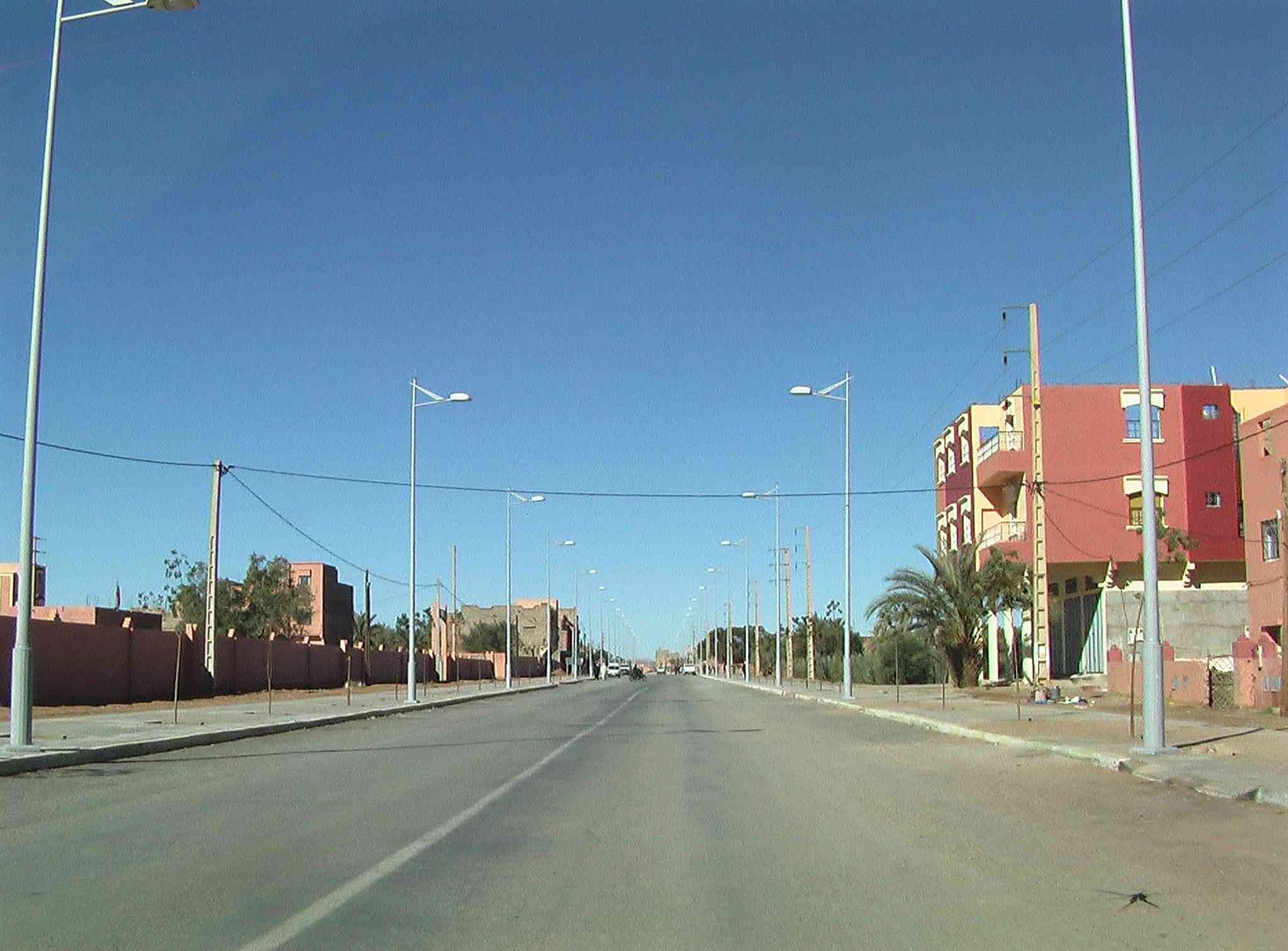
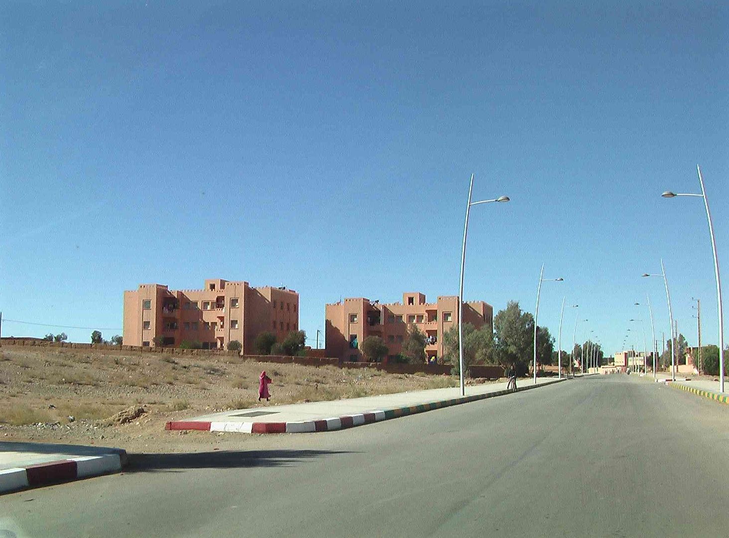
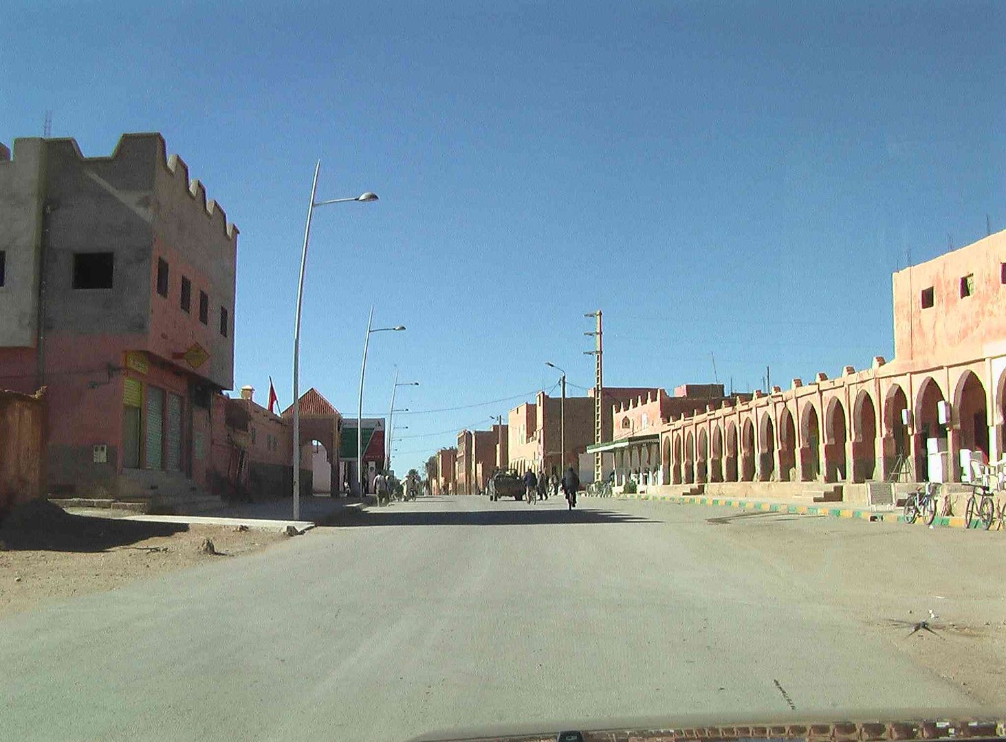
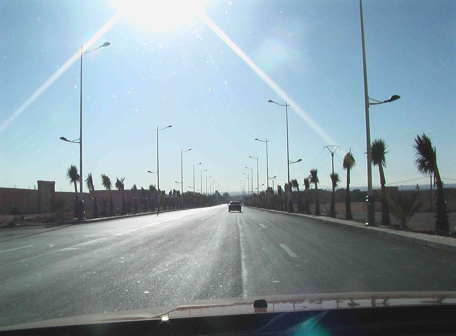
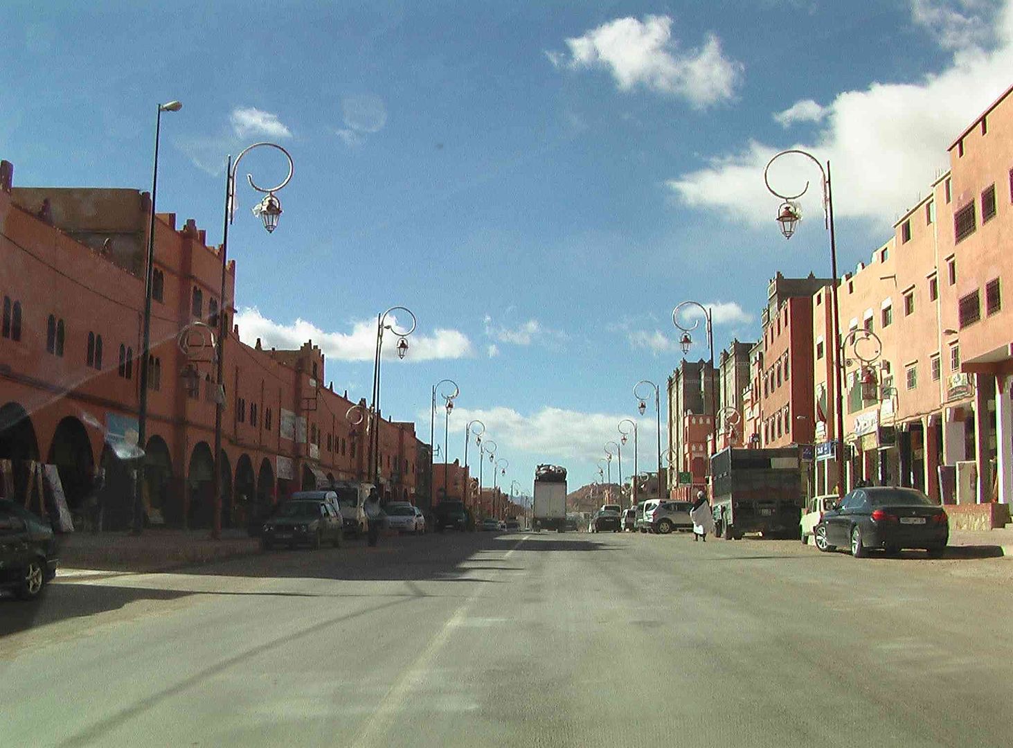
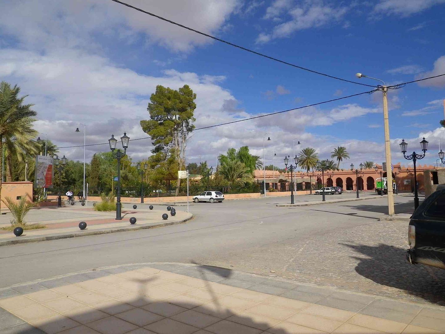
And then the newer parts ..
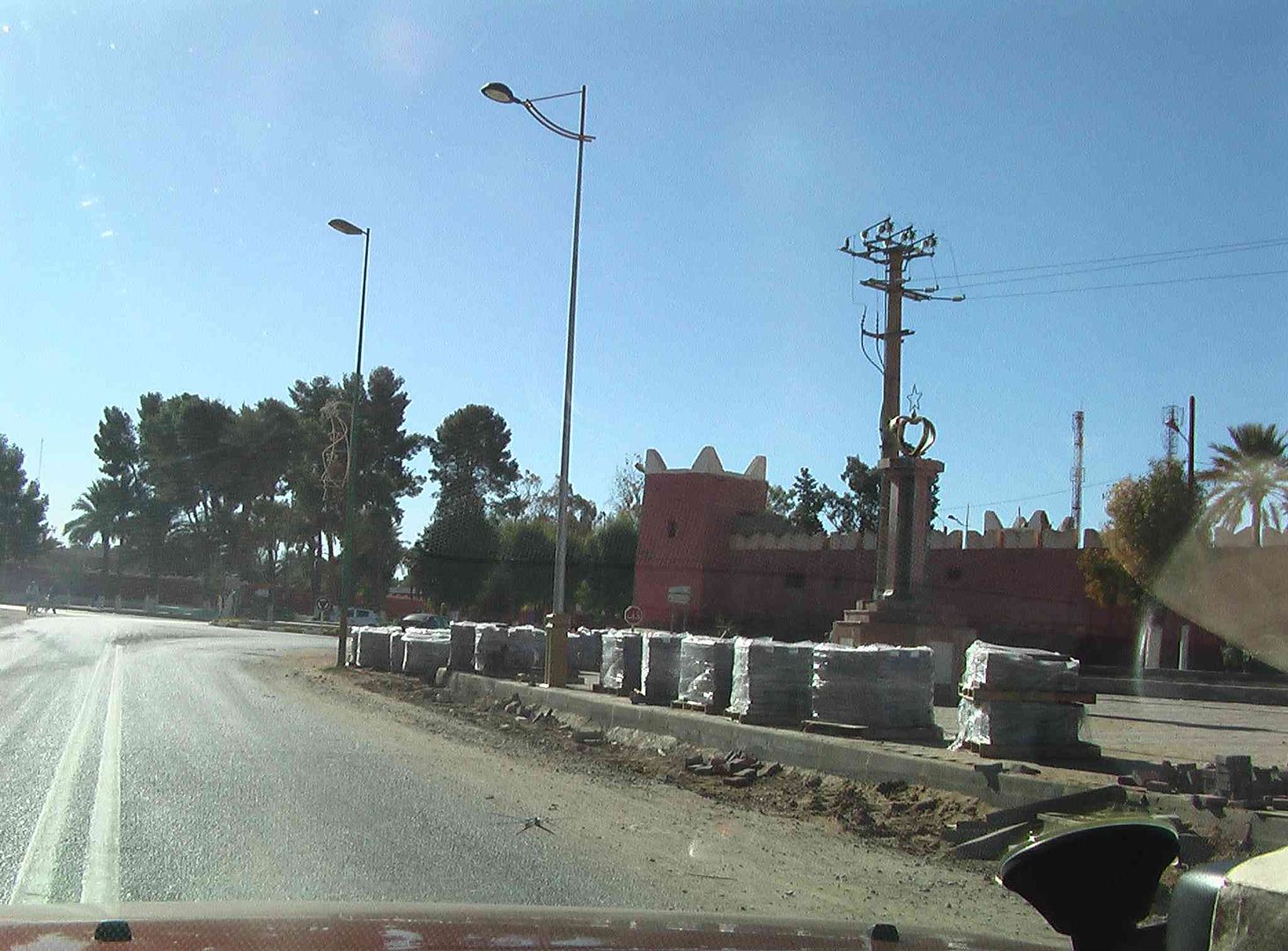
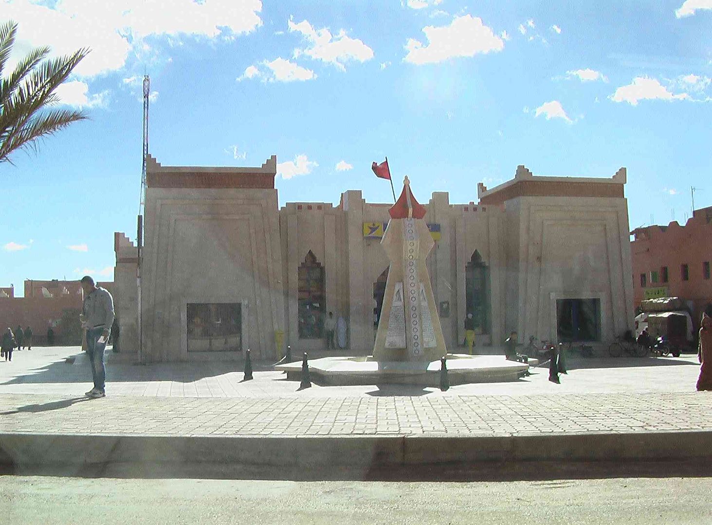
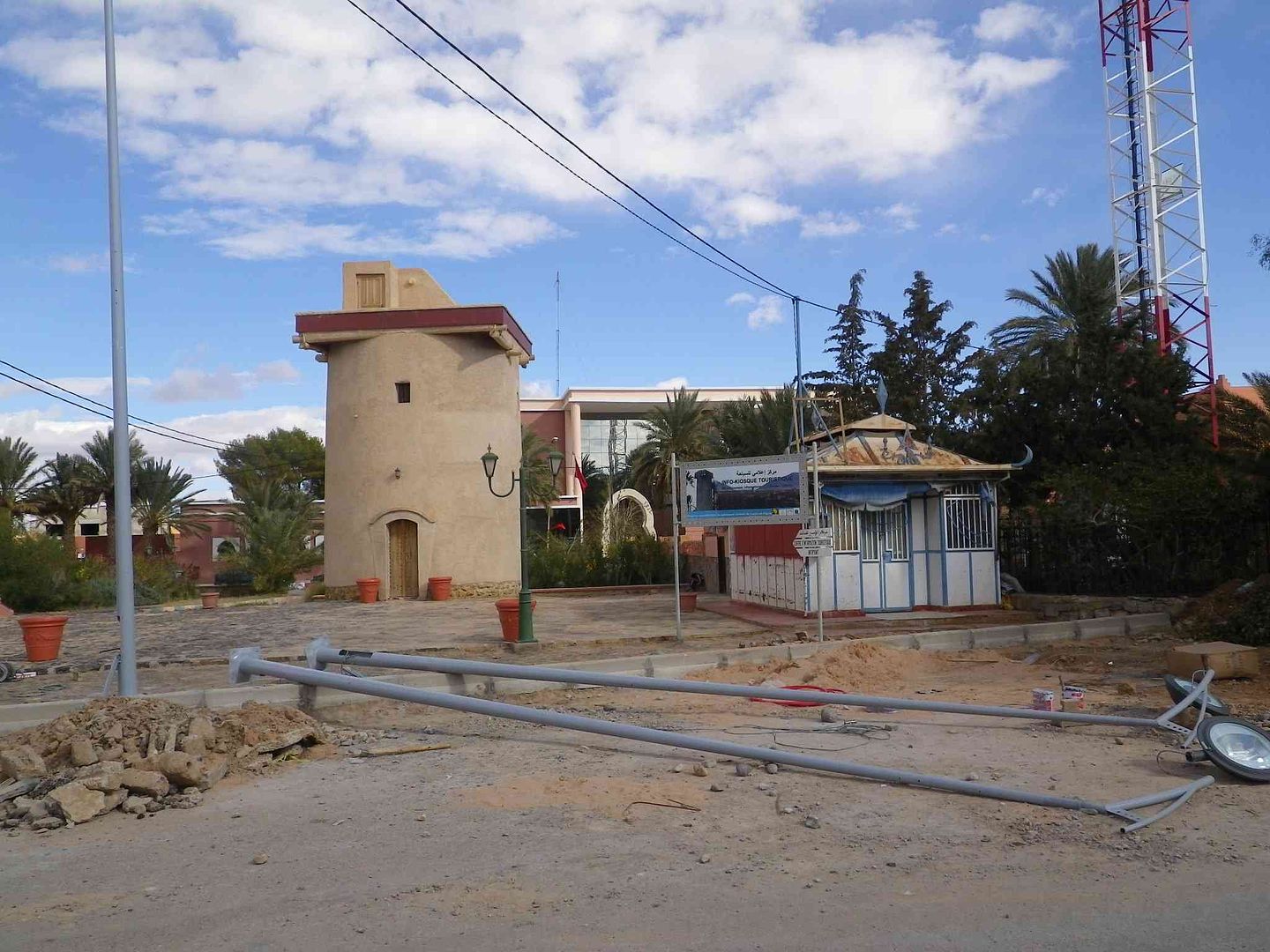
Passing the Tourist Office which is closed in winter, as they fit new street lamps on the road ..
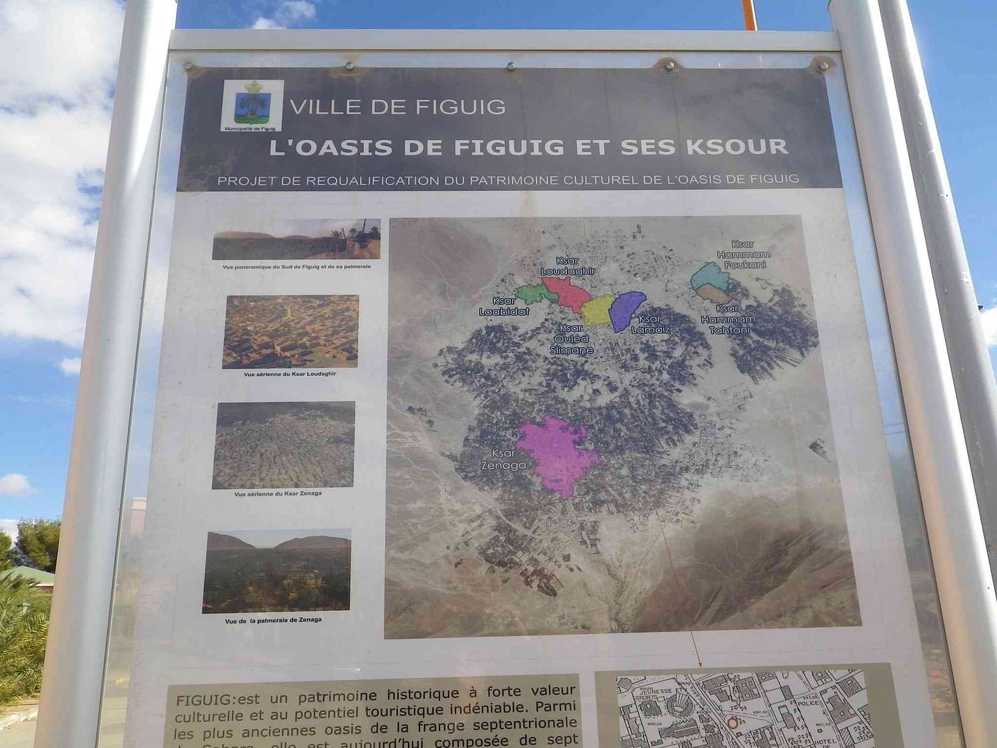
With a map of Figuig and the different Ksars ,Villages of different colours on the map while the Palmerie is the dark areas surrounding the Villages ..
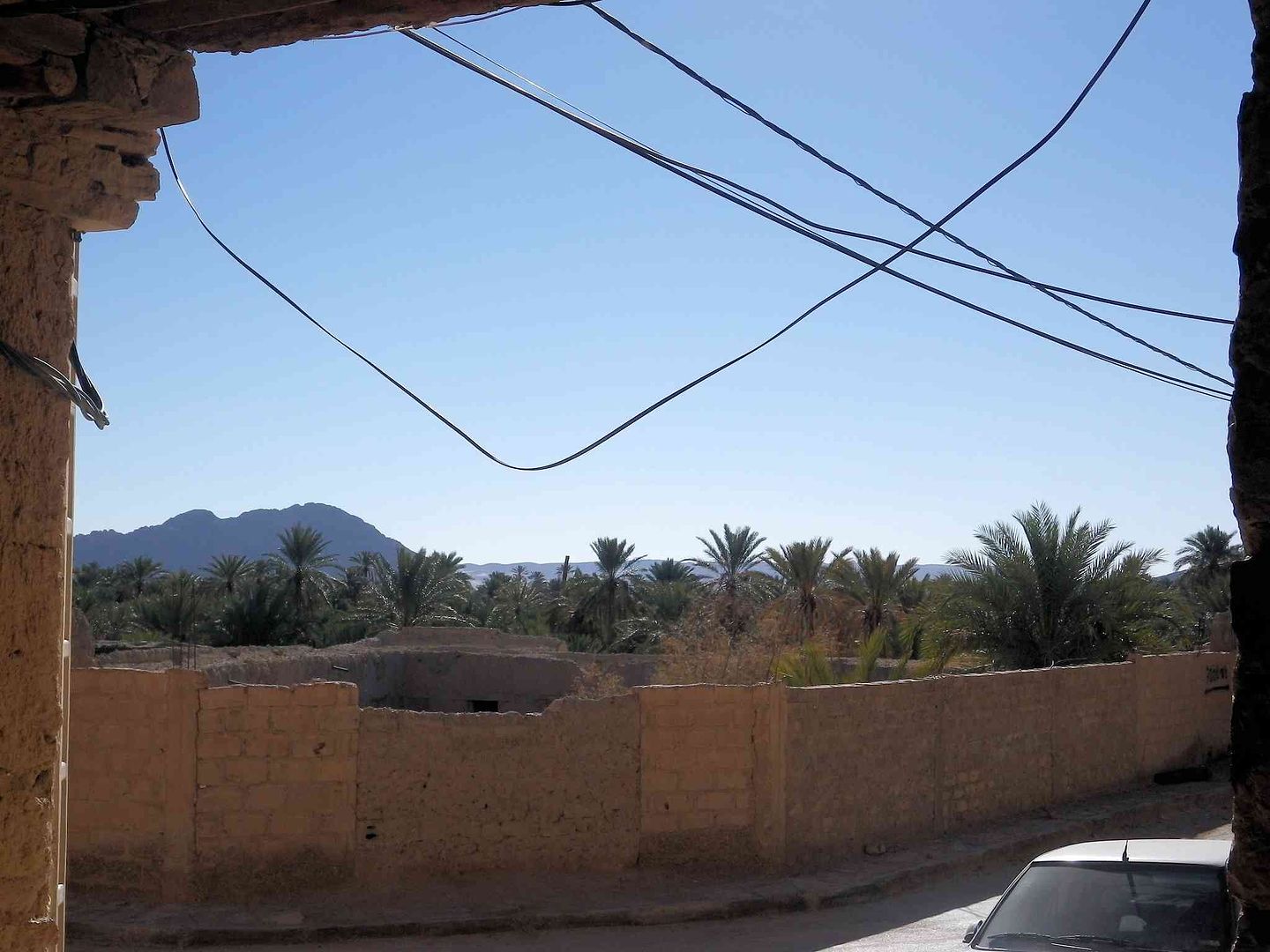
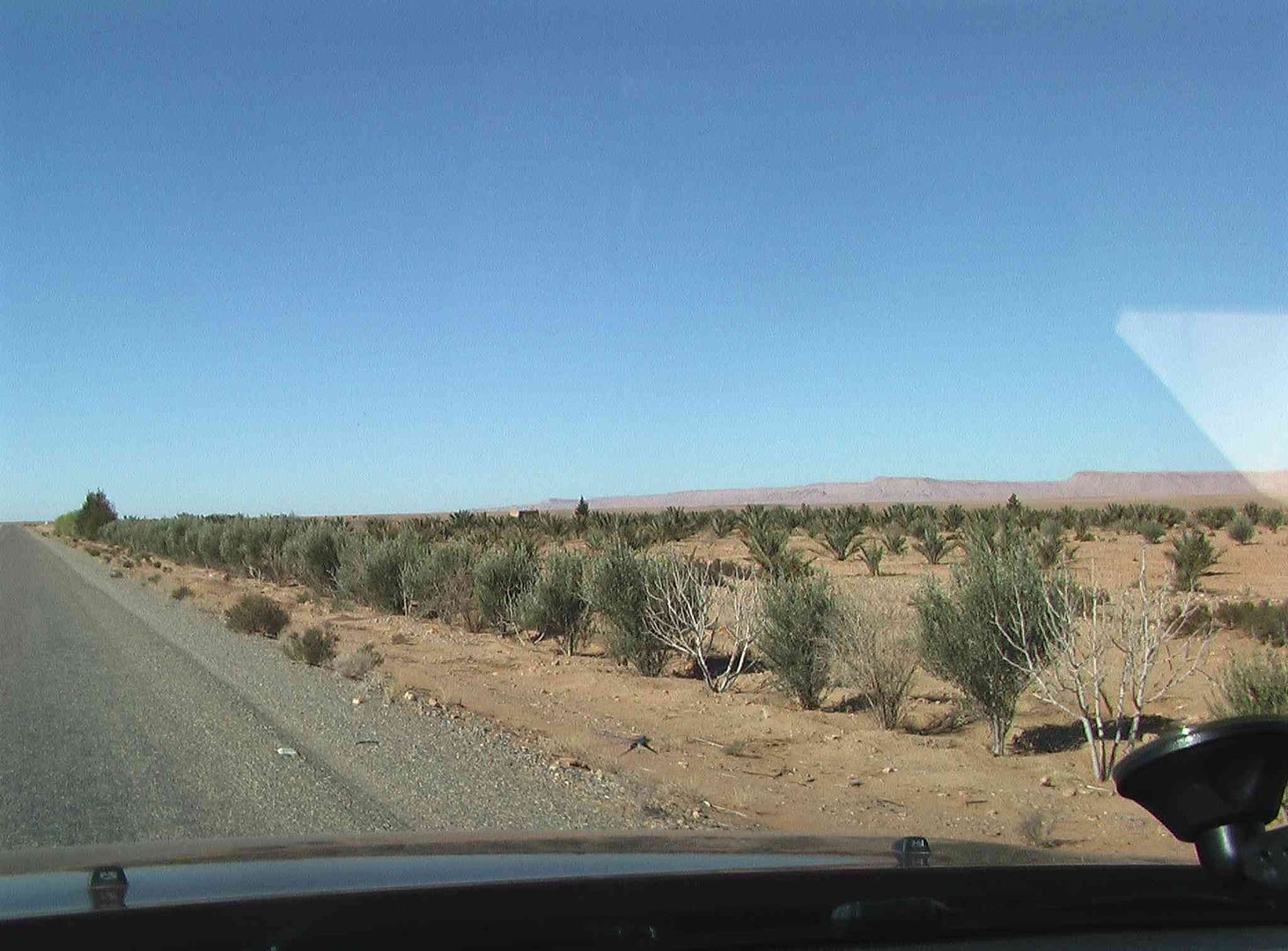
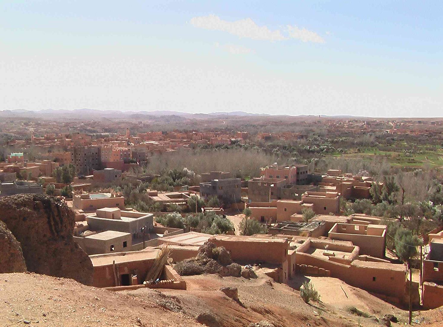
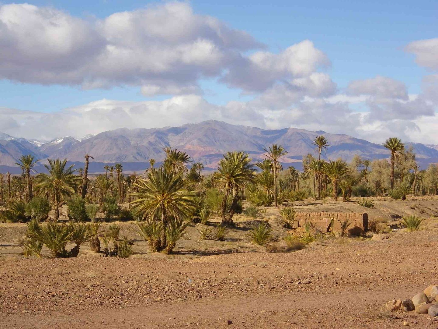
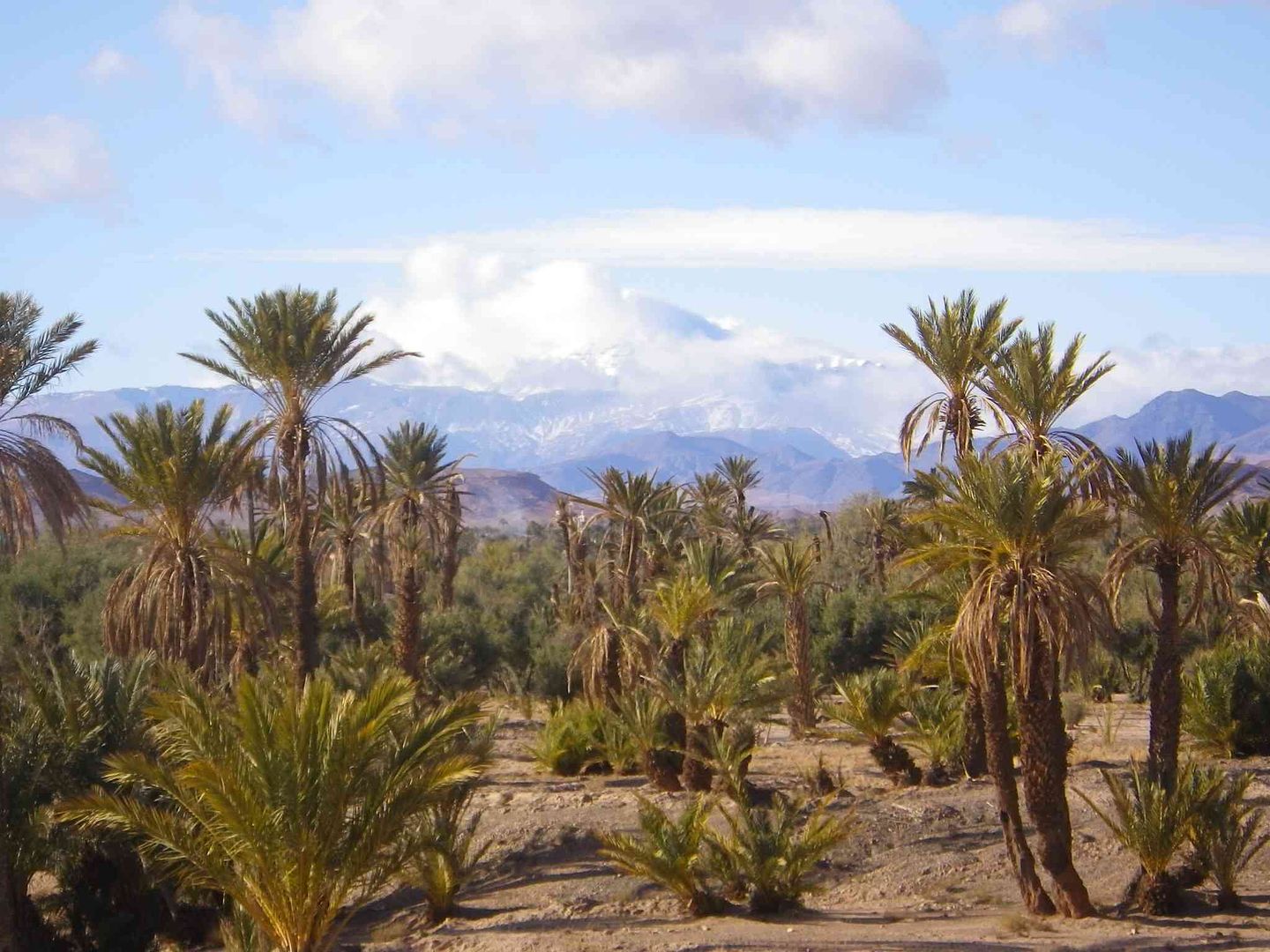
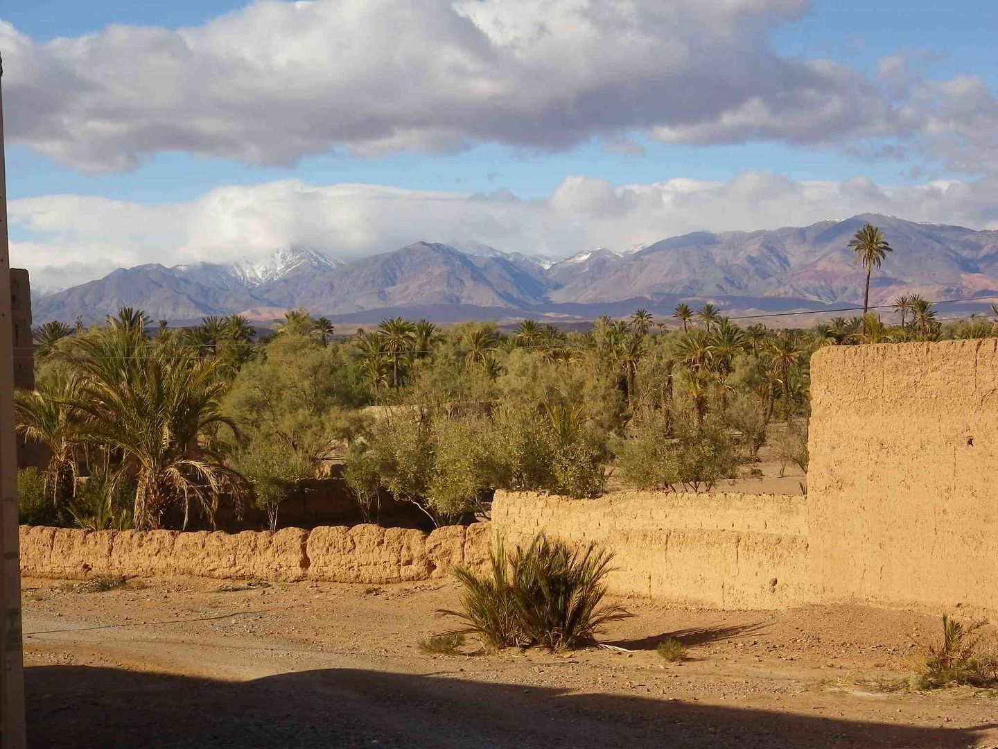
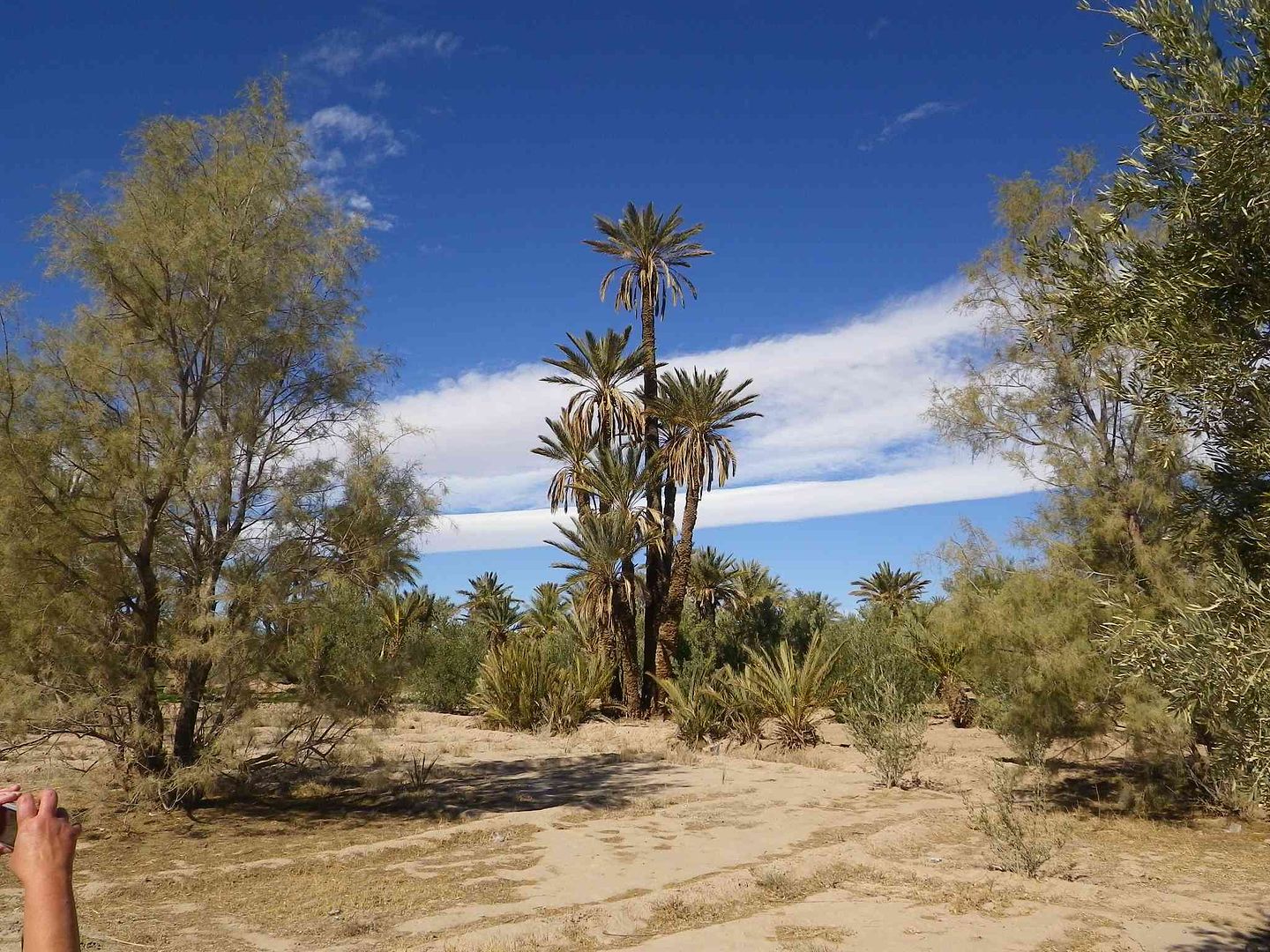
Palmerie left and right looking South ..
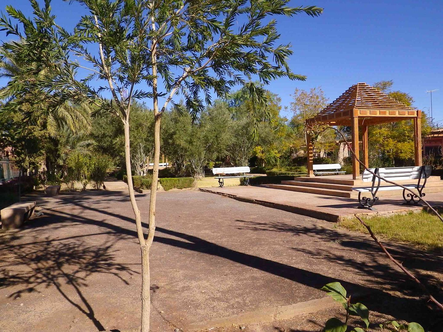
Nice Municipal Garden but it was closed and locked up .
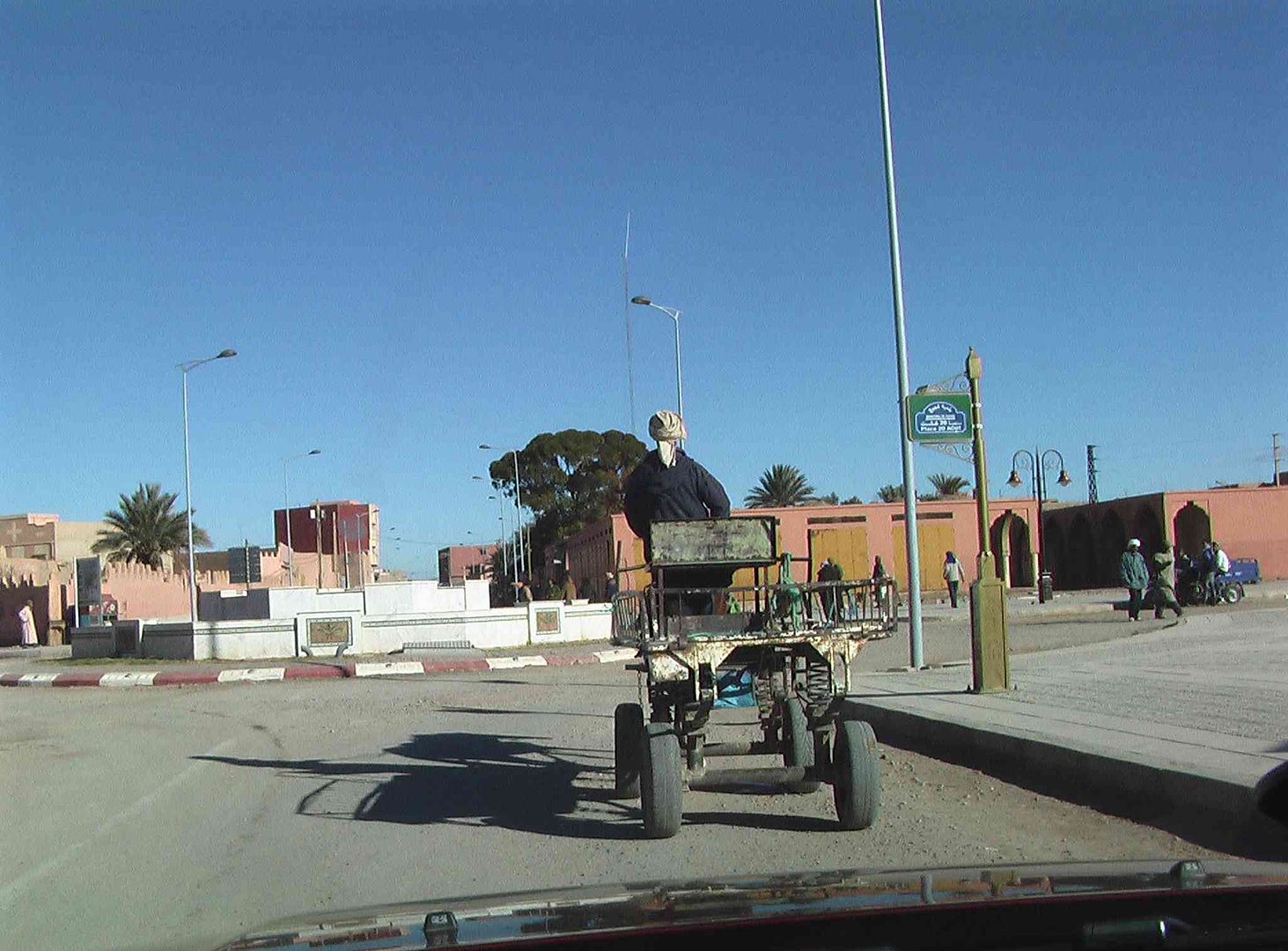
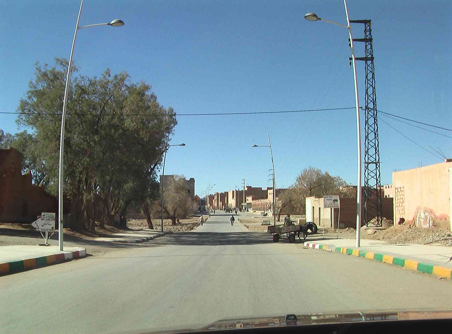
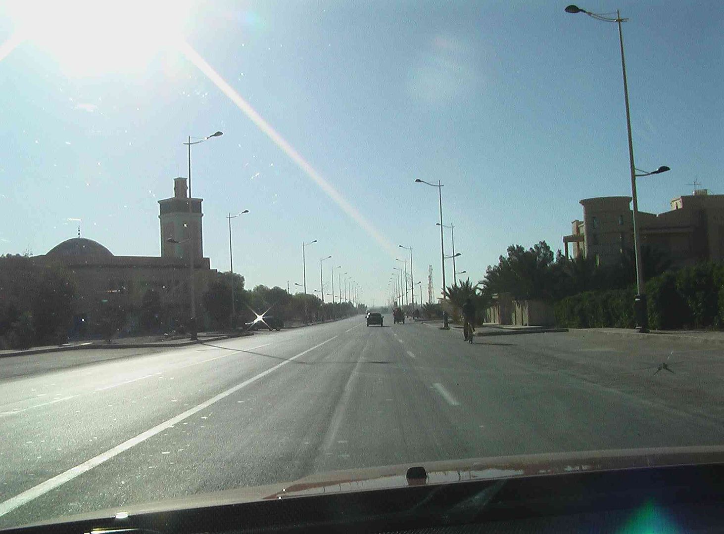
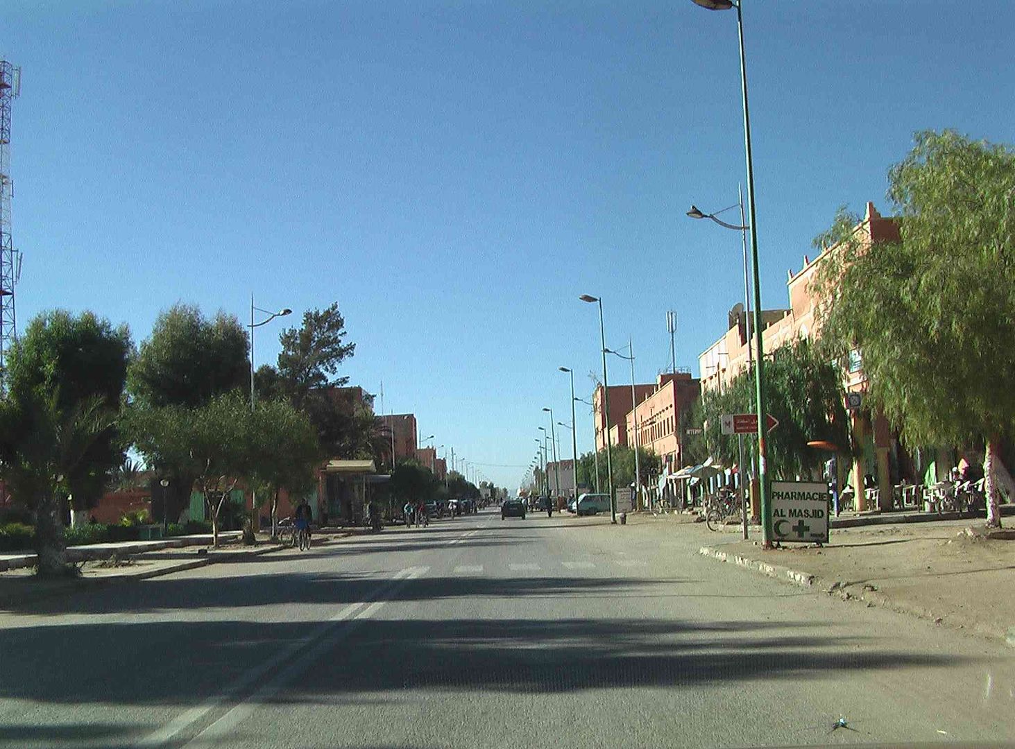
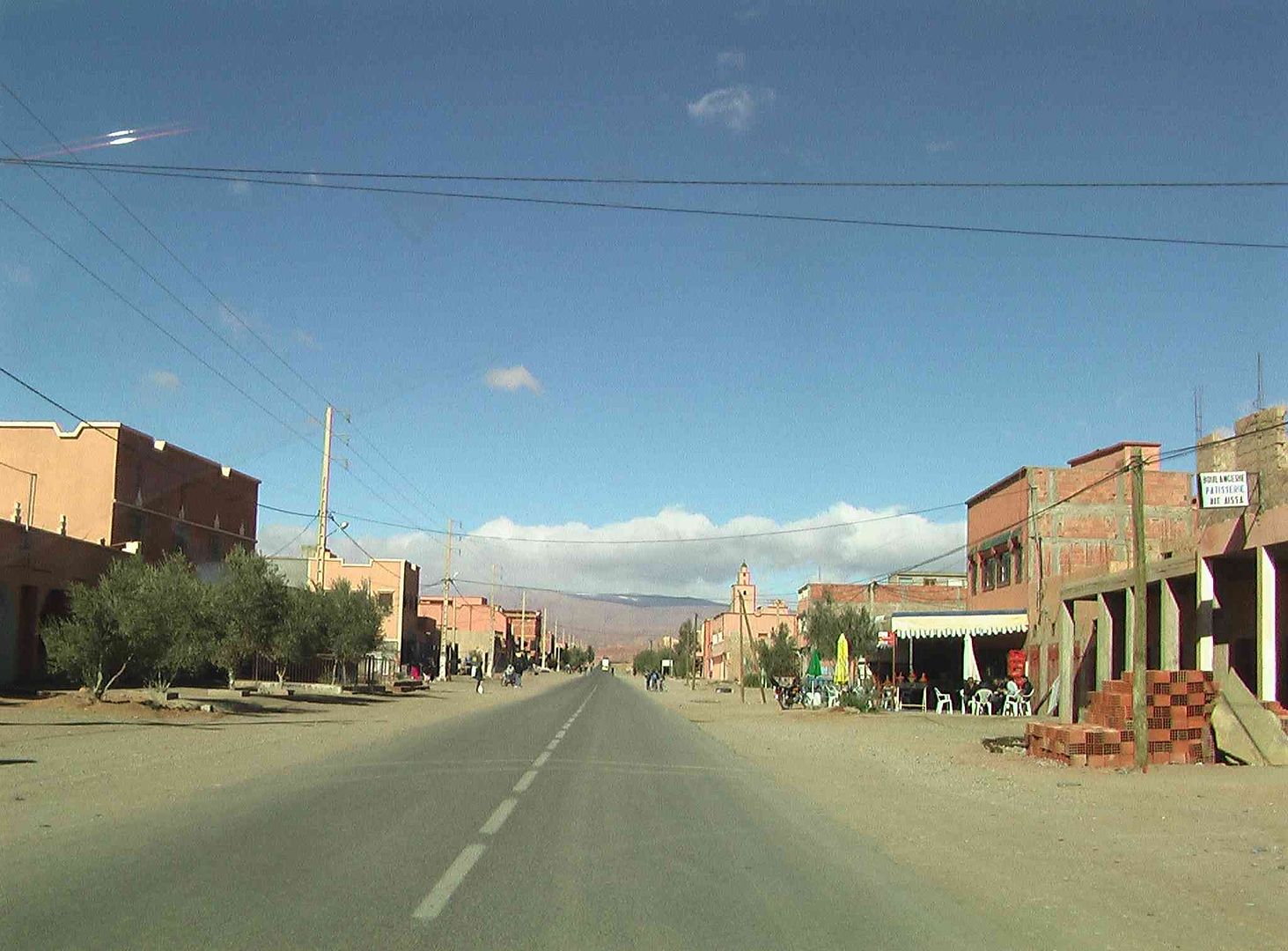
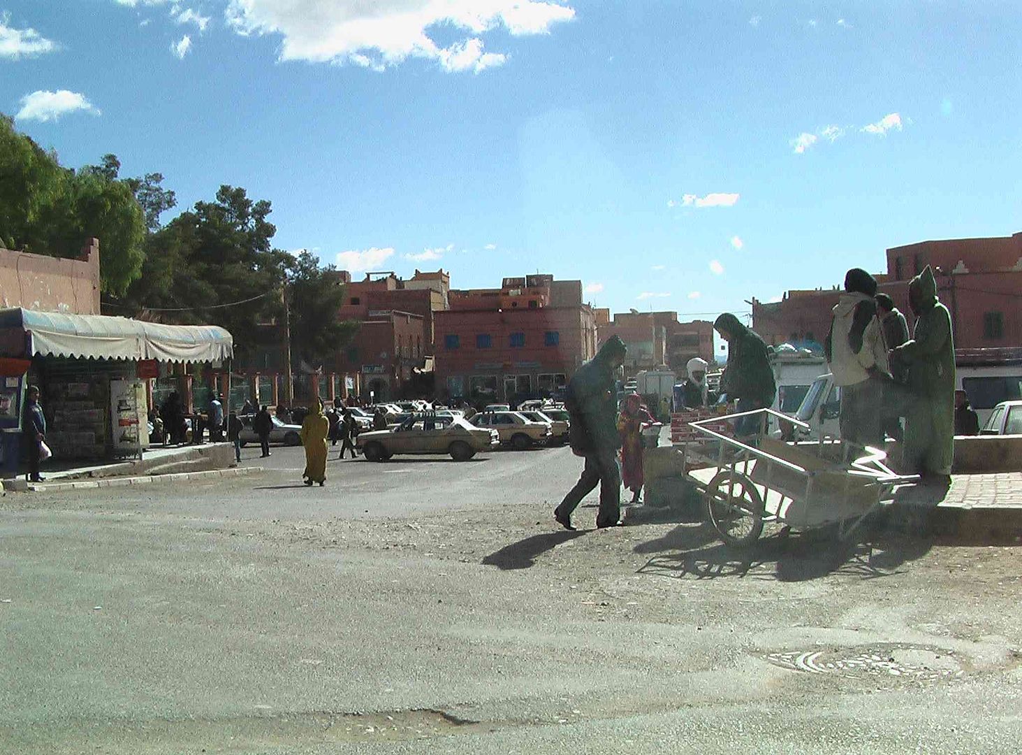
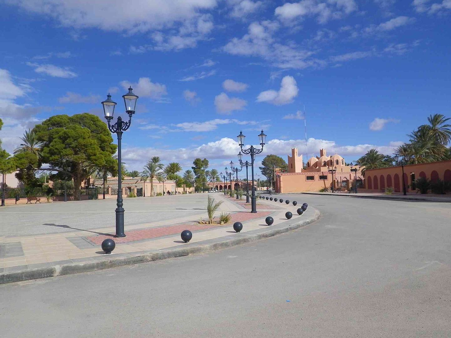
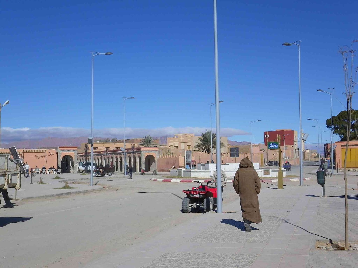
Town Centre....
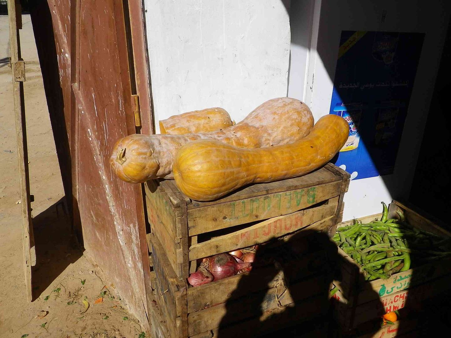
Not quite what we were looking for in the Veggie shop .
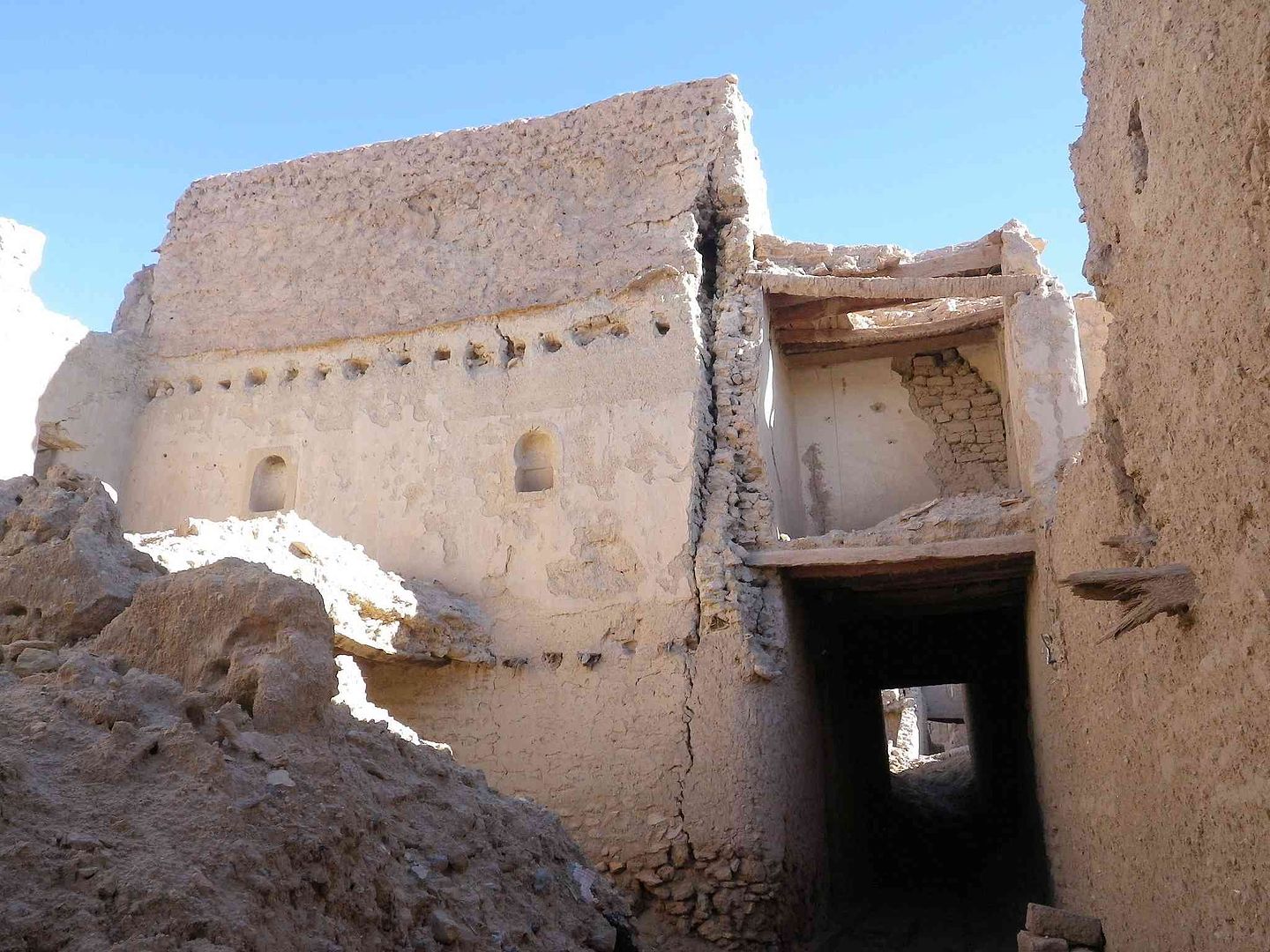
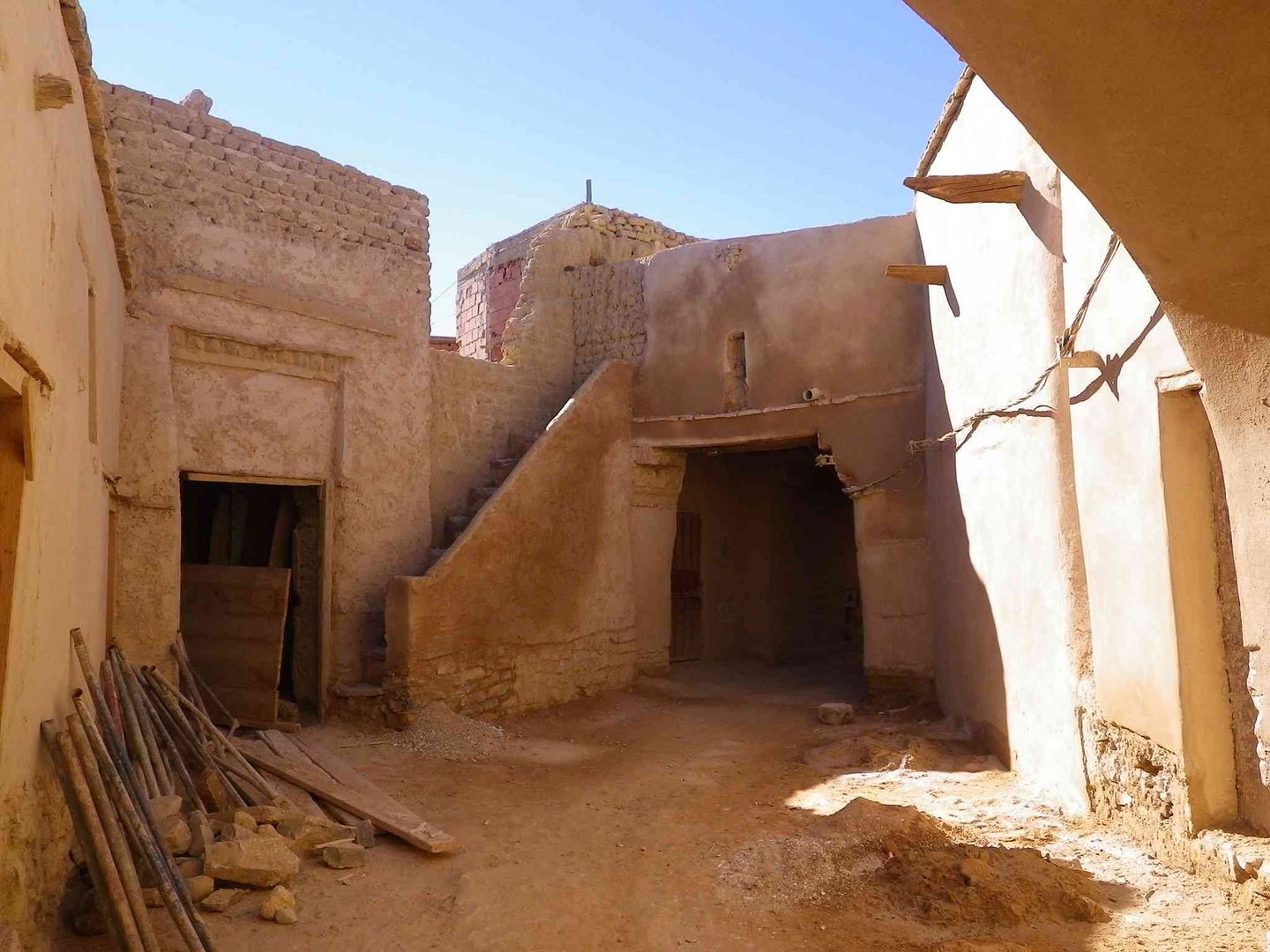
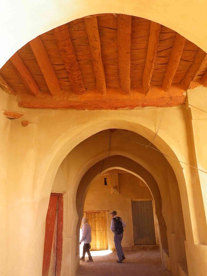
While just up the road we entered one of the Ksars which is being refurbished as we understand as part of a UNESCO Project ..
So off we go inside to have a look
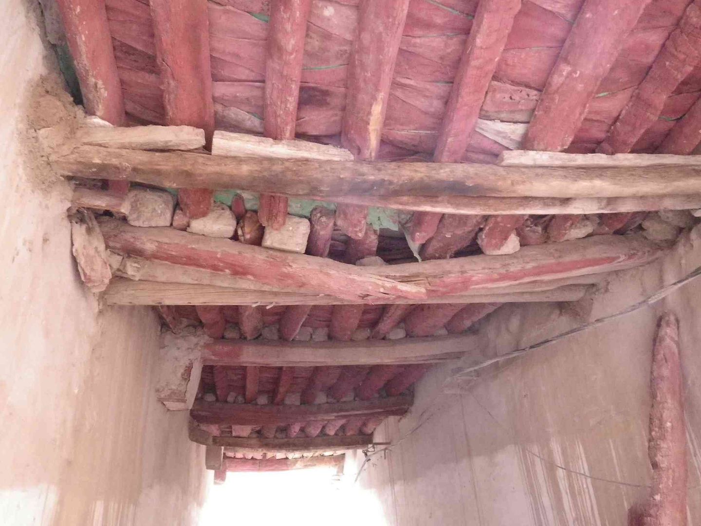
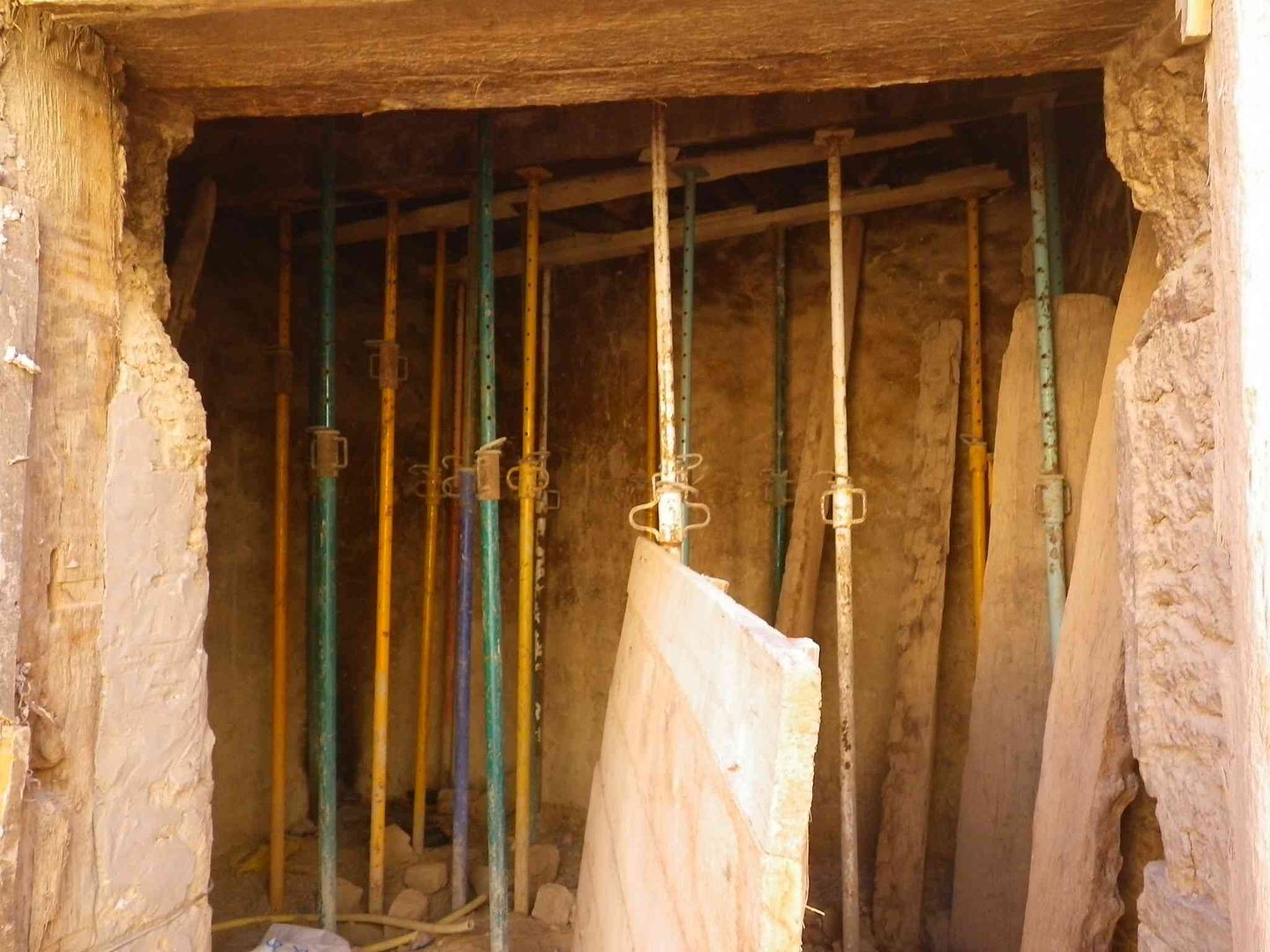
Keeping the ceiling up, while working on other bits
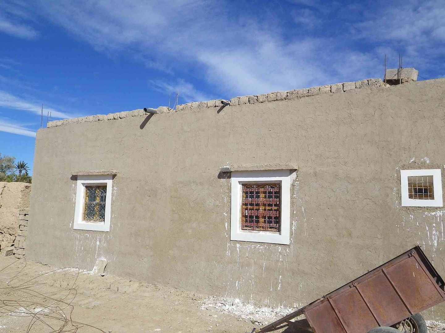
The smoothness of the walls tells us it has been refurbished ..
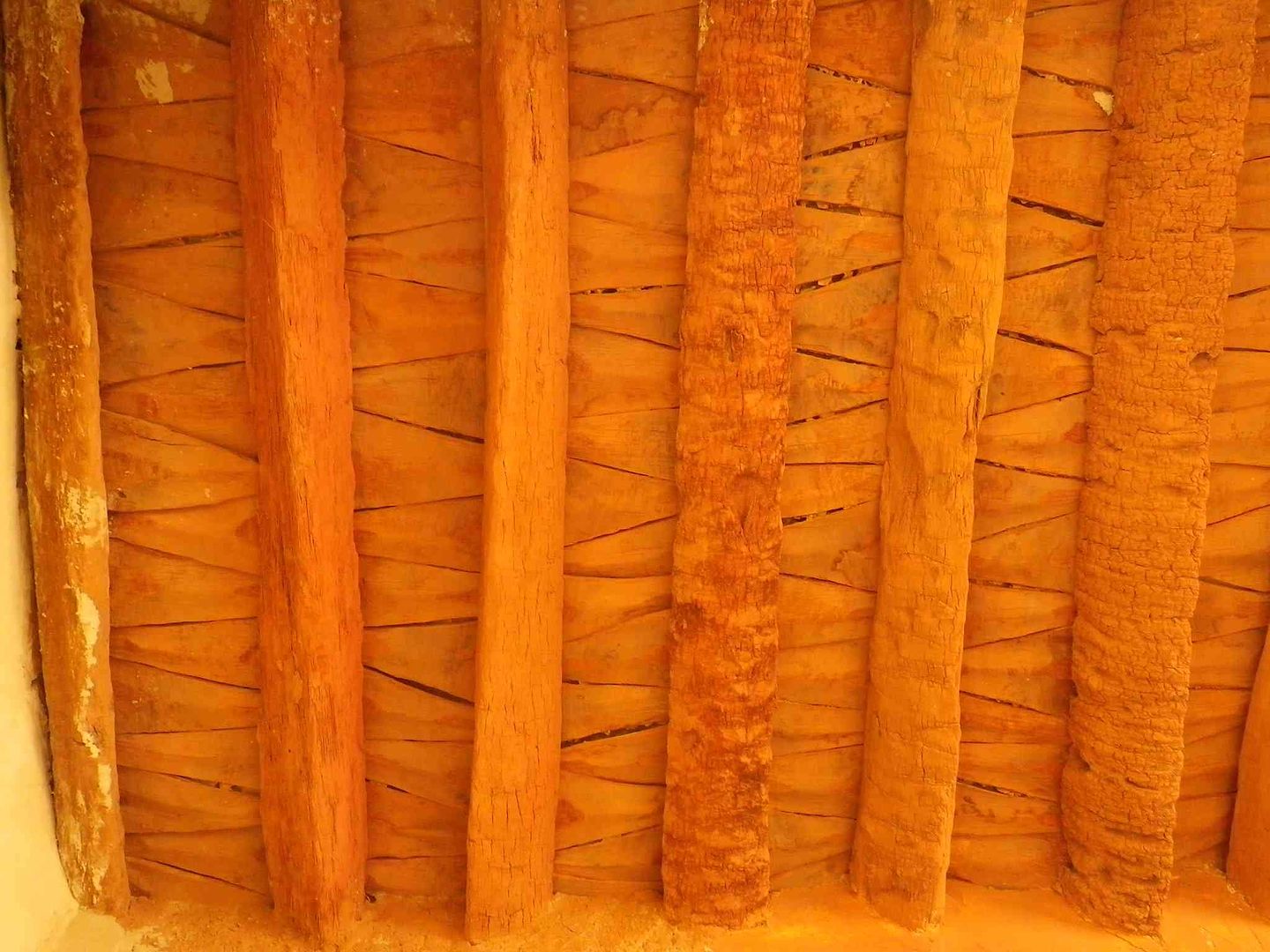
Notice the ceiling which has been crafted from Palm trees ..
The vertical joists are from the trunk, while the triangular pieces are made from the ends of the Palm branches ..
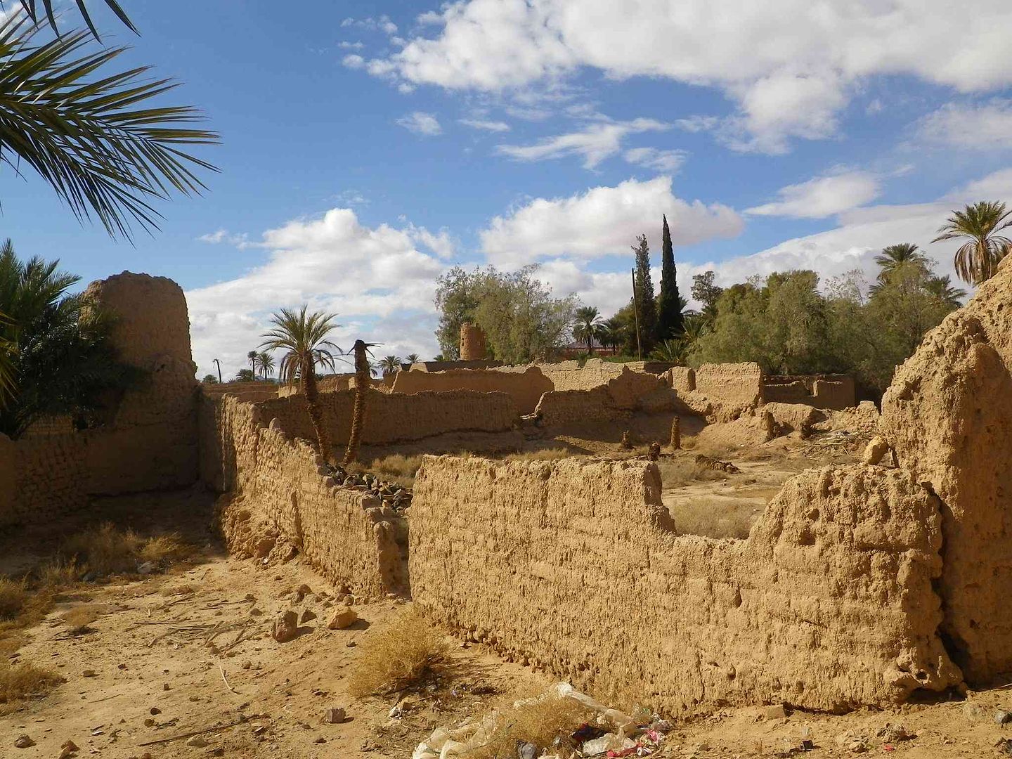
Before the refurbishment starts some of the areas look like this ..
Then back outside
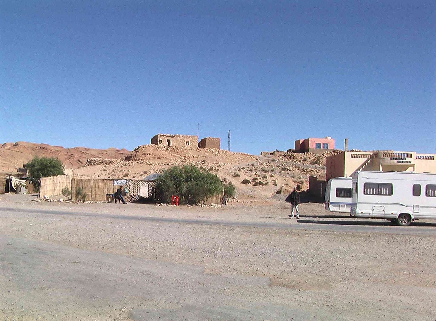
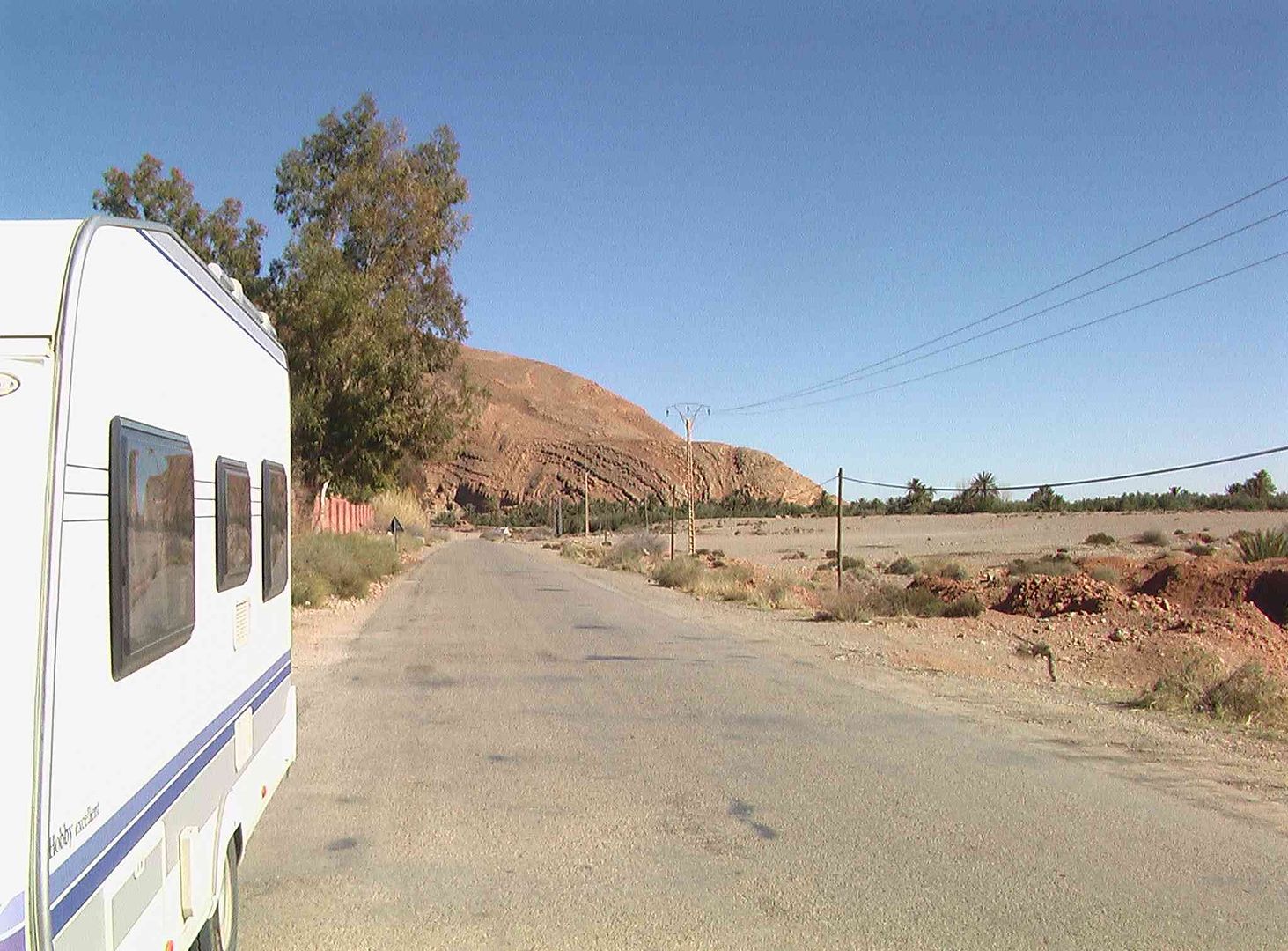
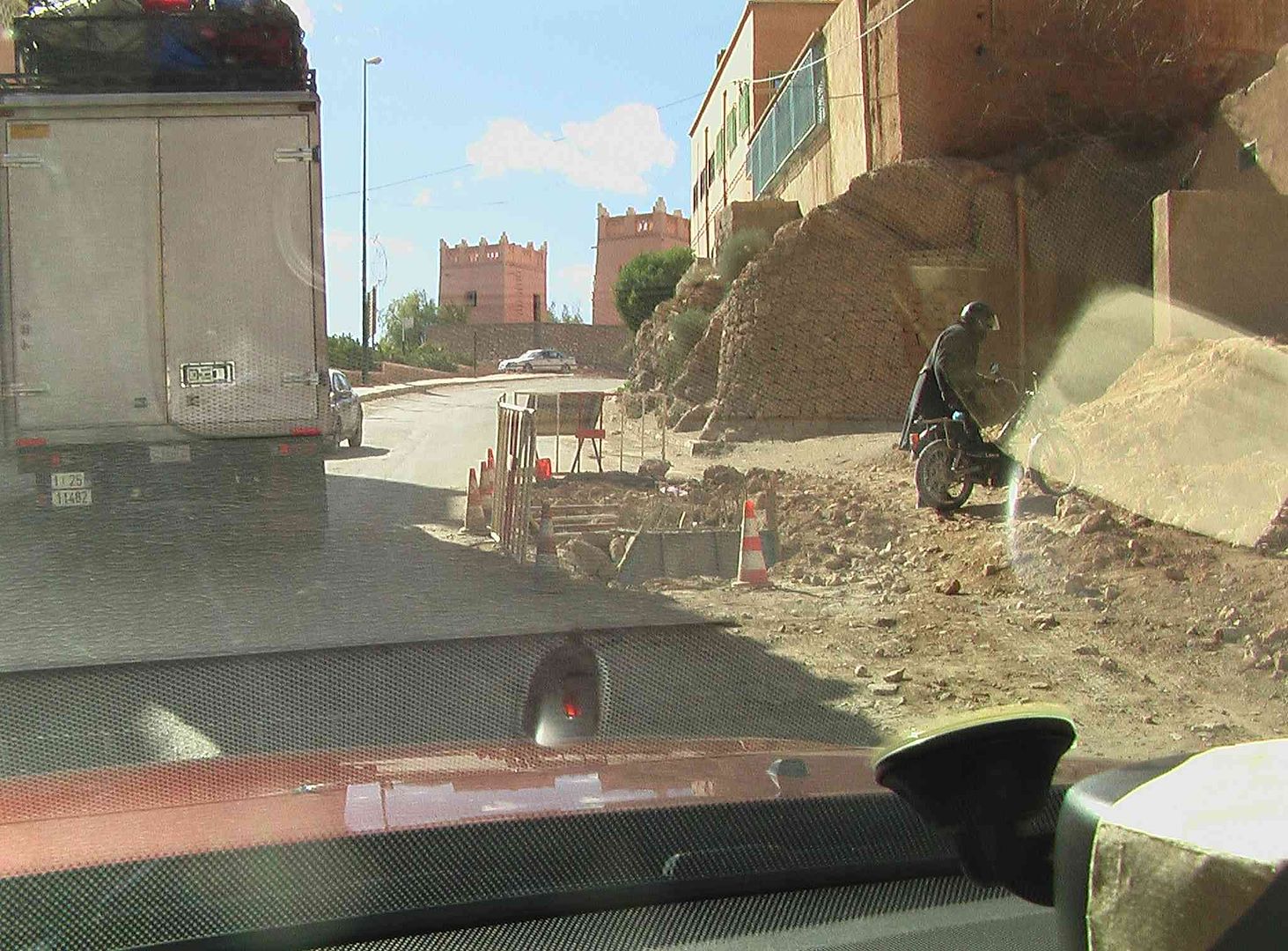
After getting back to the campsite and having a bit of lunch, we are off on the next leg to the Closed Border Crossing .
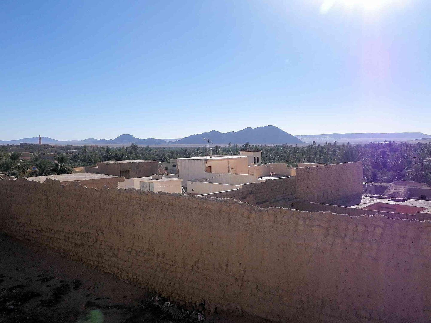
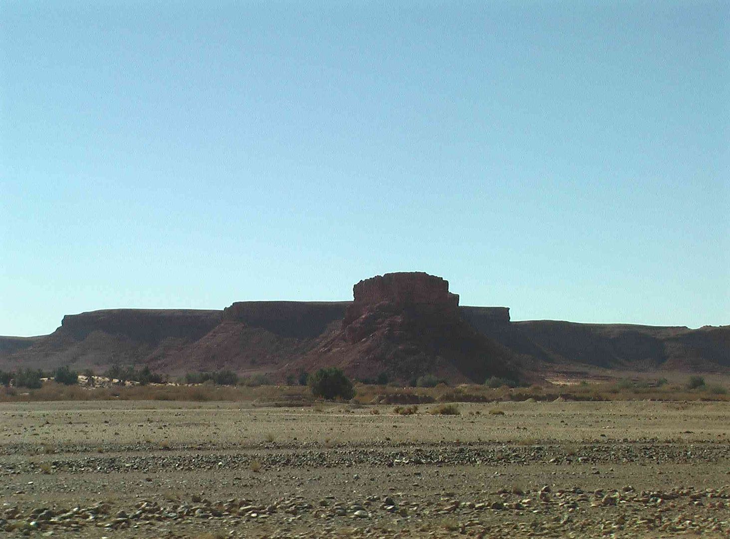
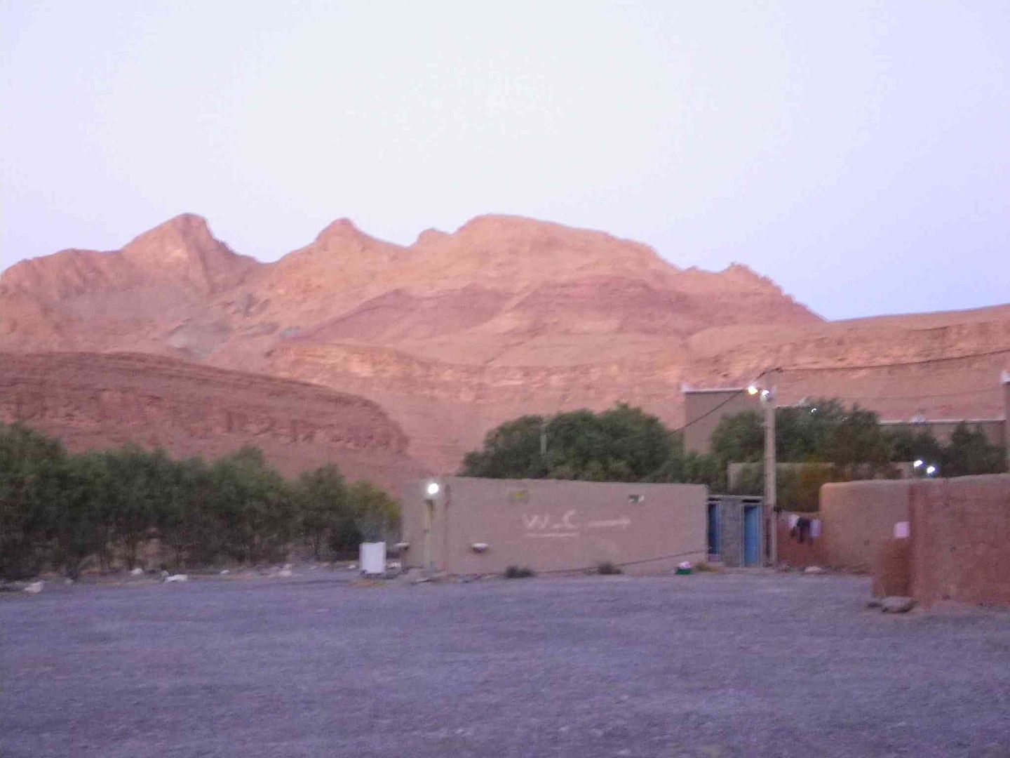
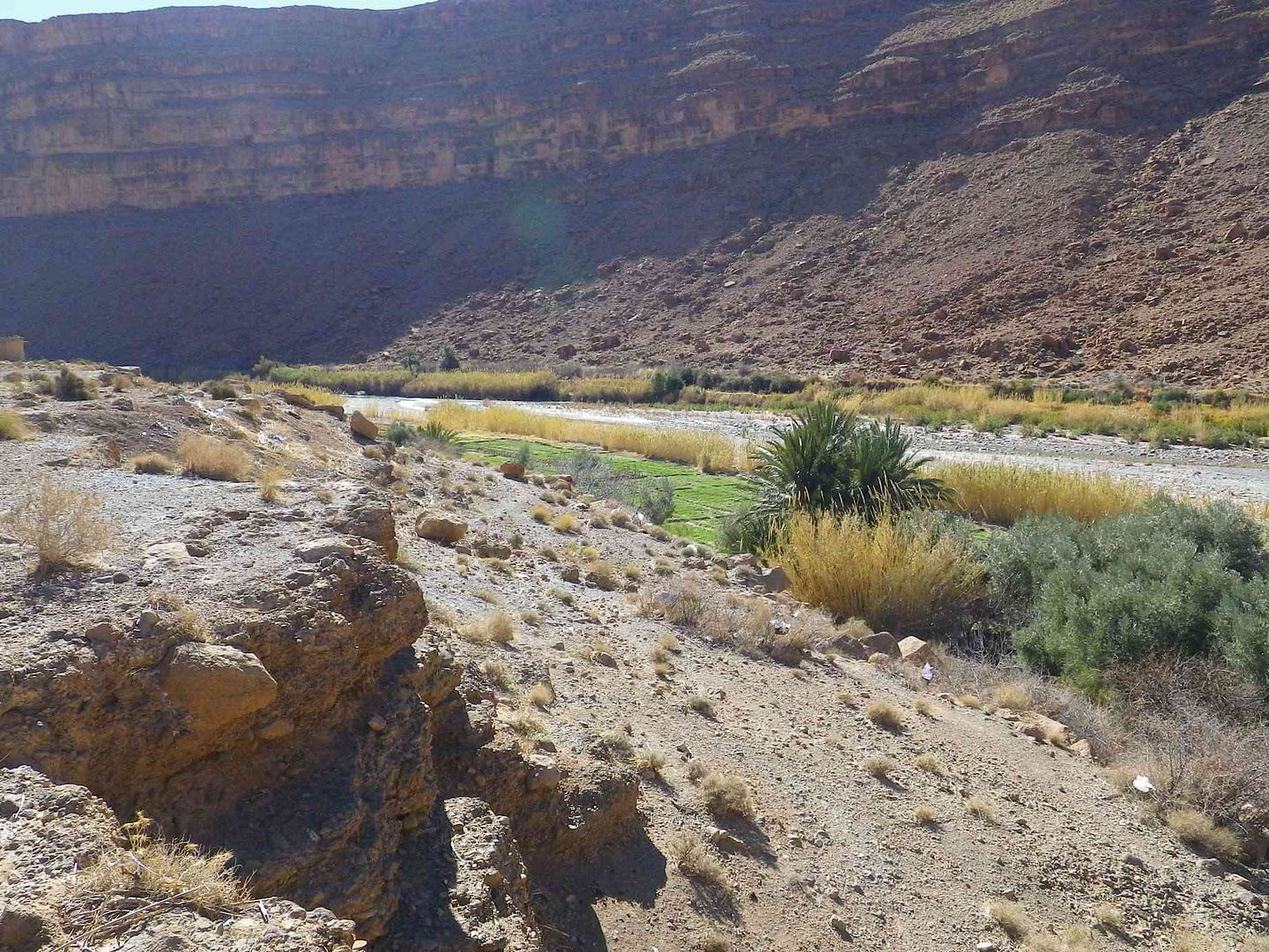
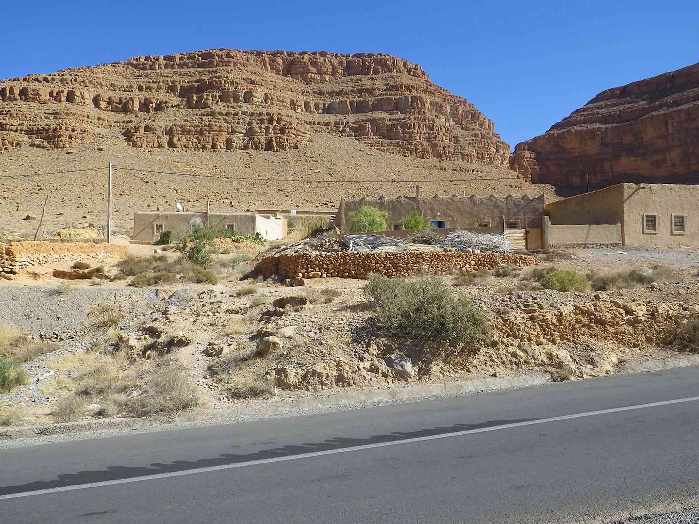
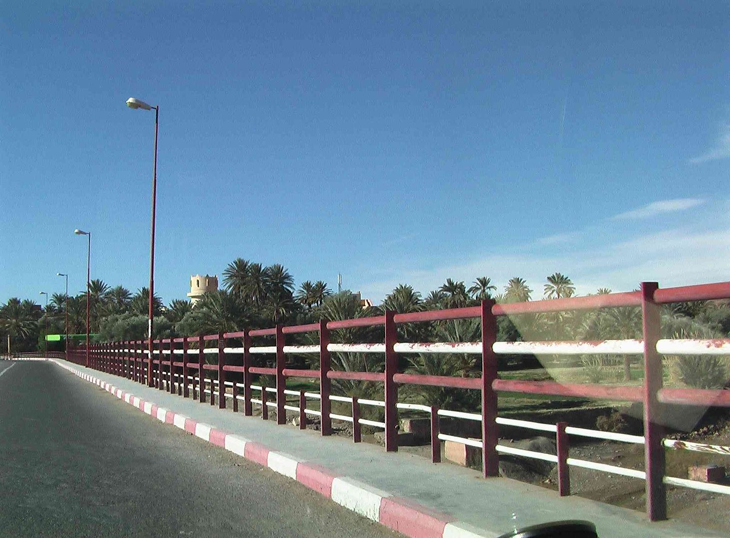
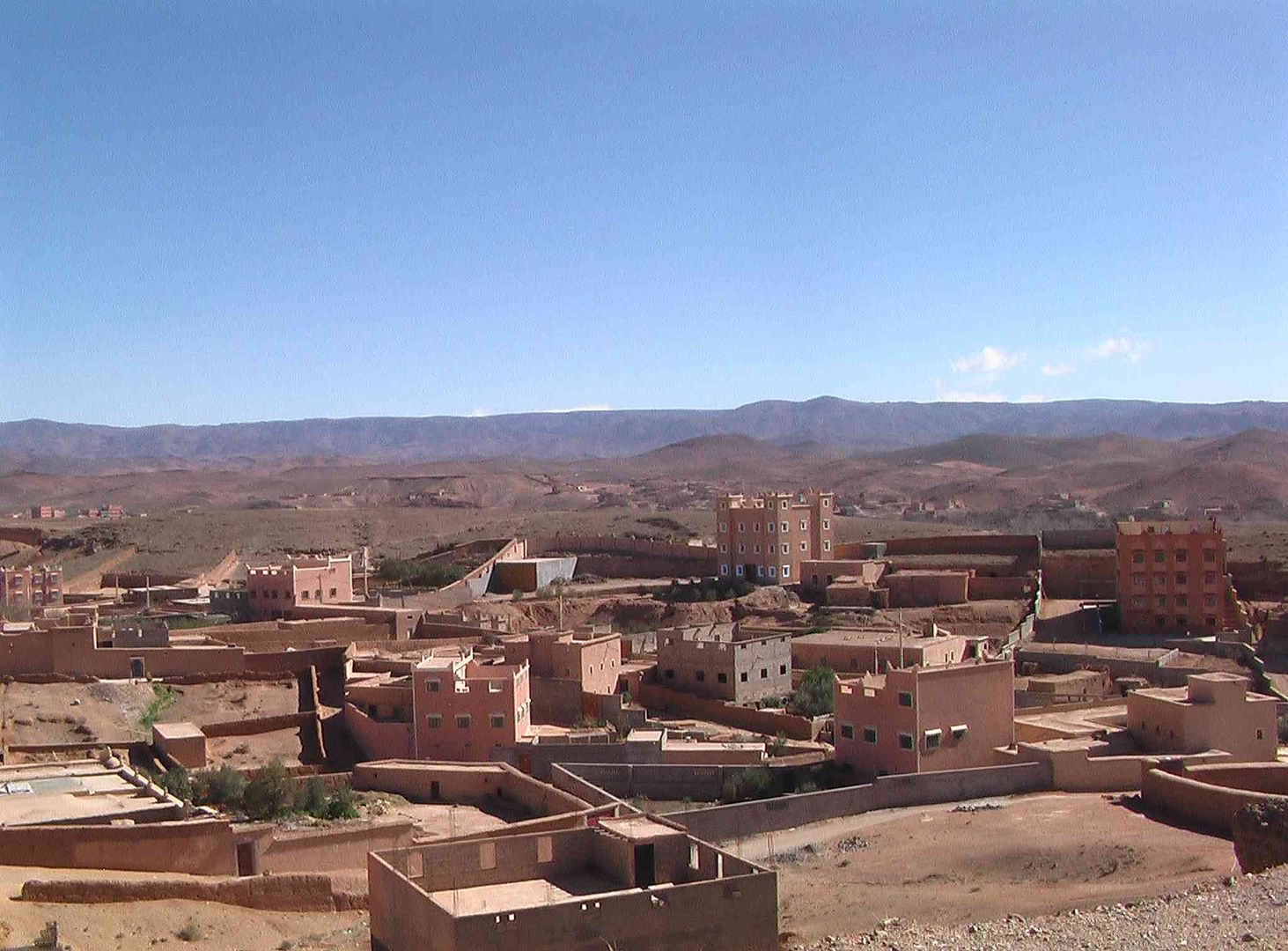
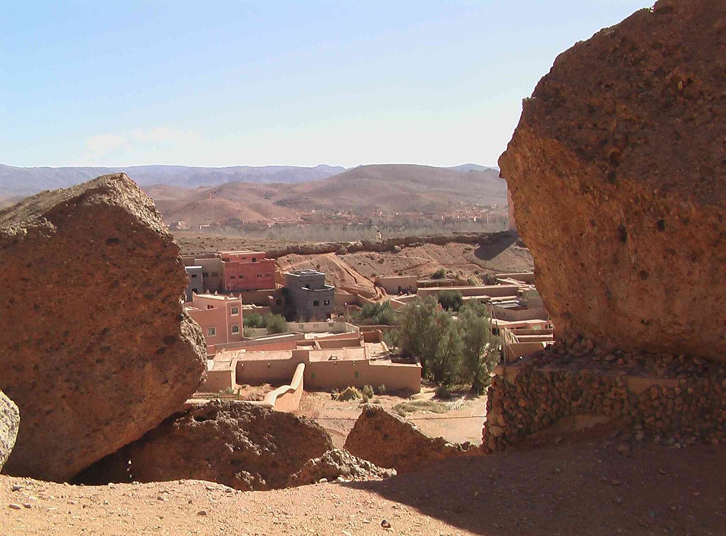
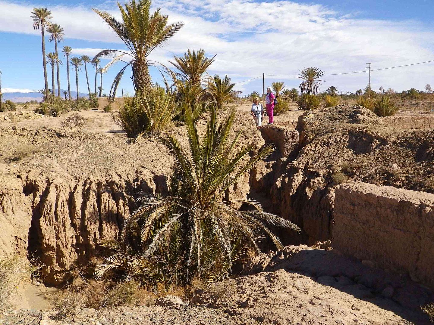
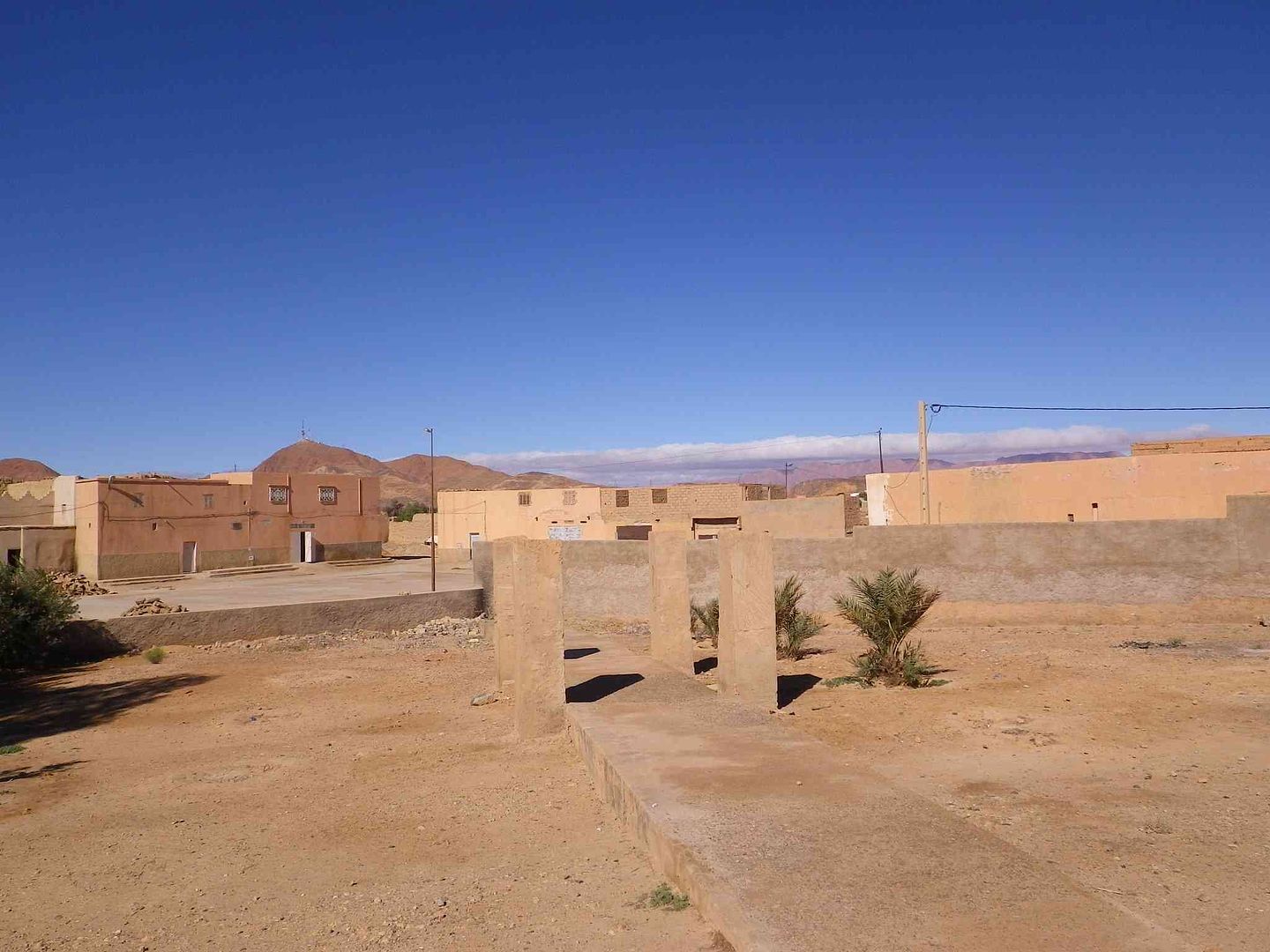
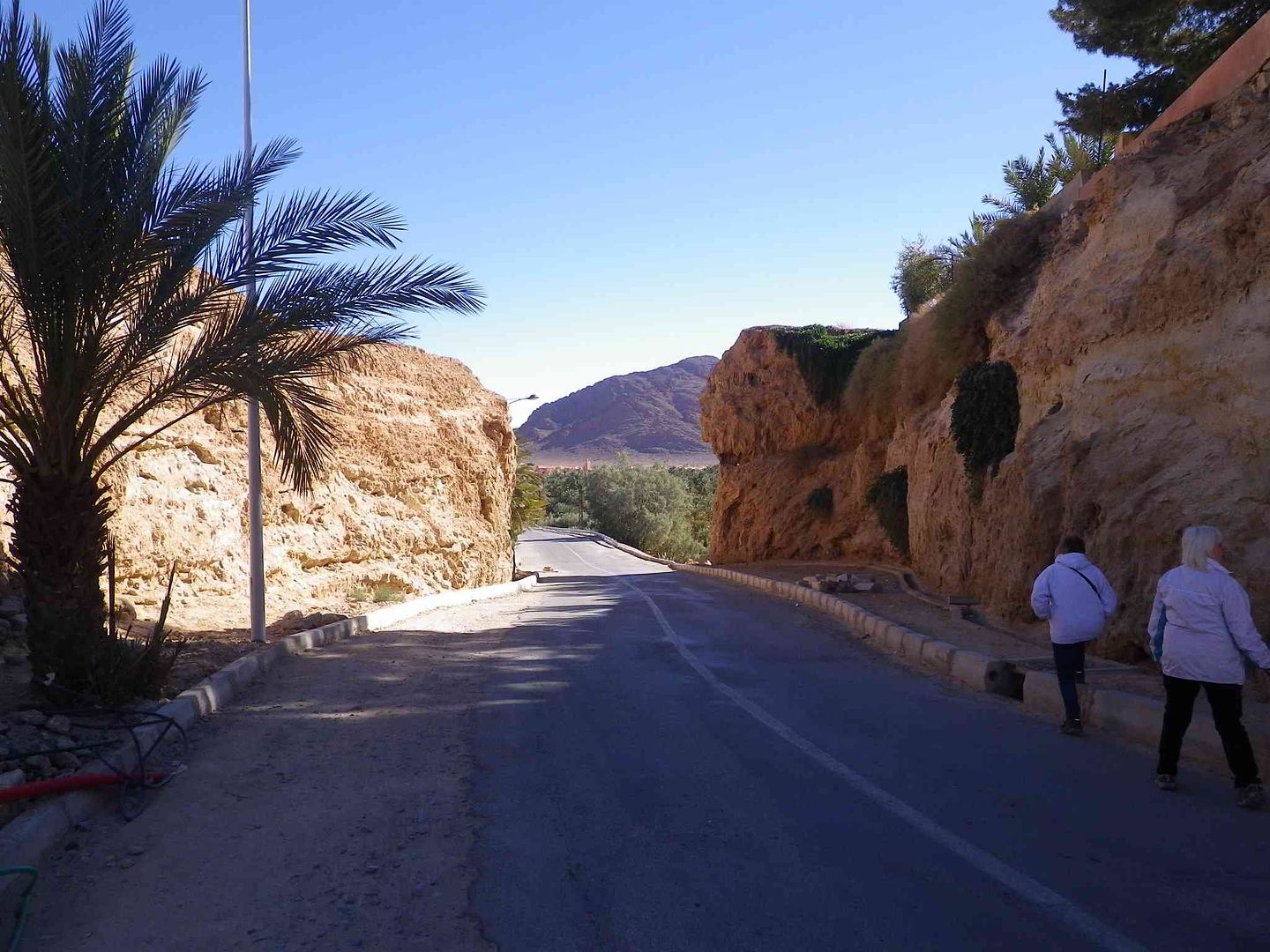
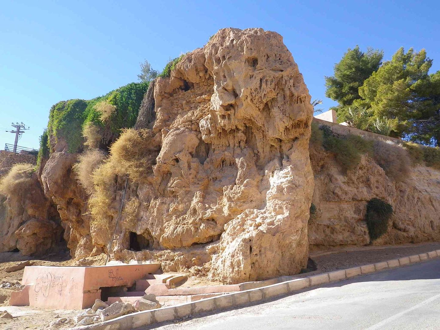
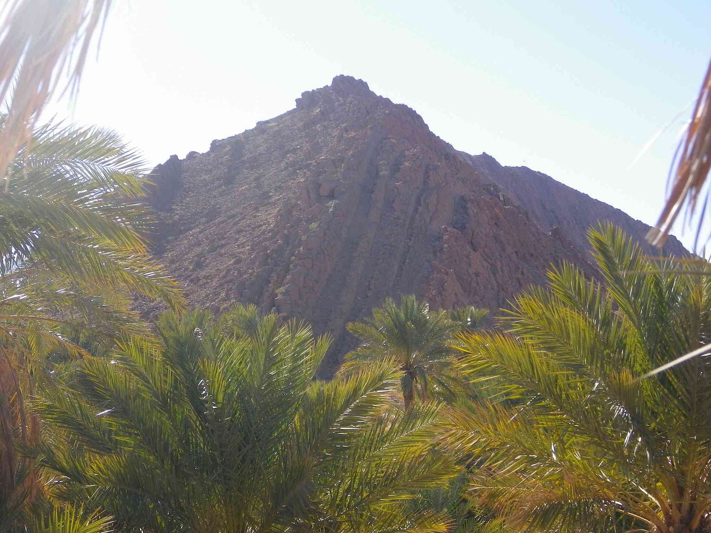
The Hotel/camping is partly on top of this rock face!.....
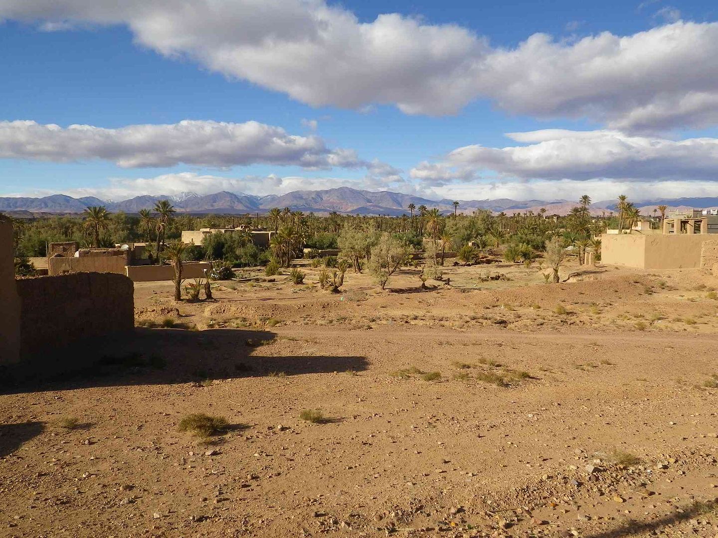
With a section of the Palmerie spread out before us as we walk along the road .
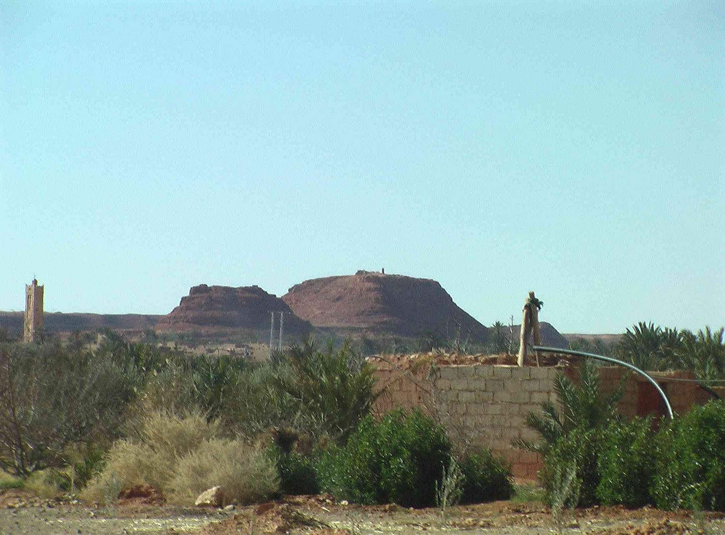
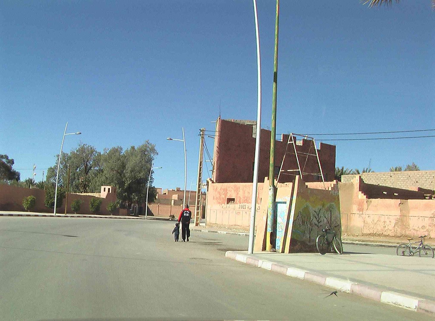
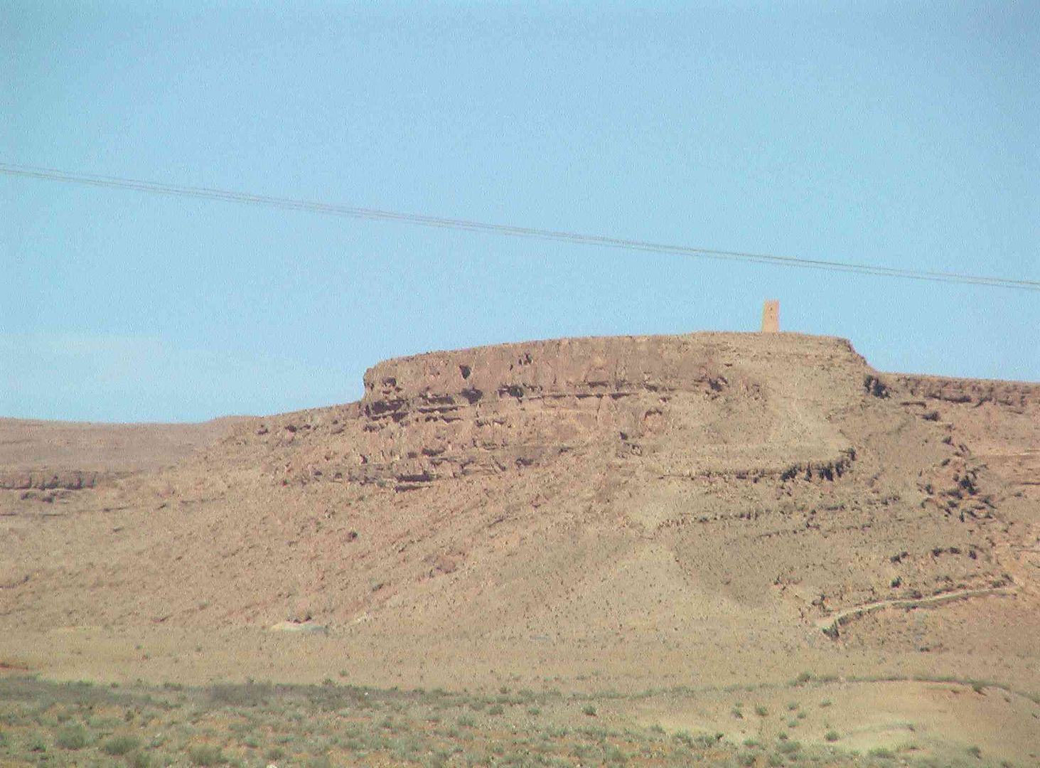
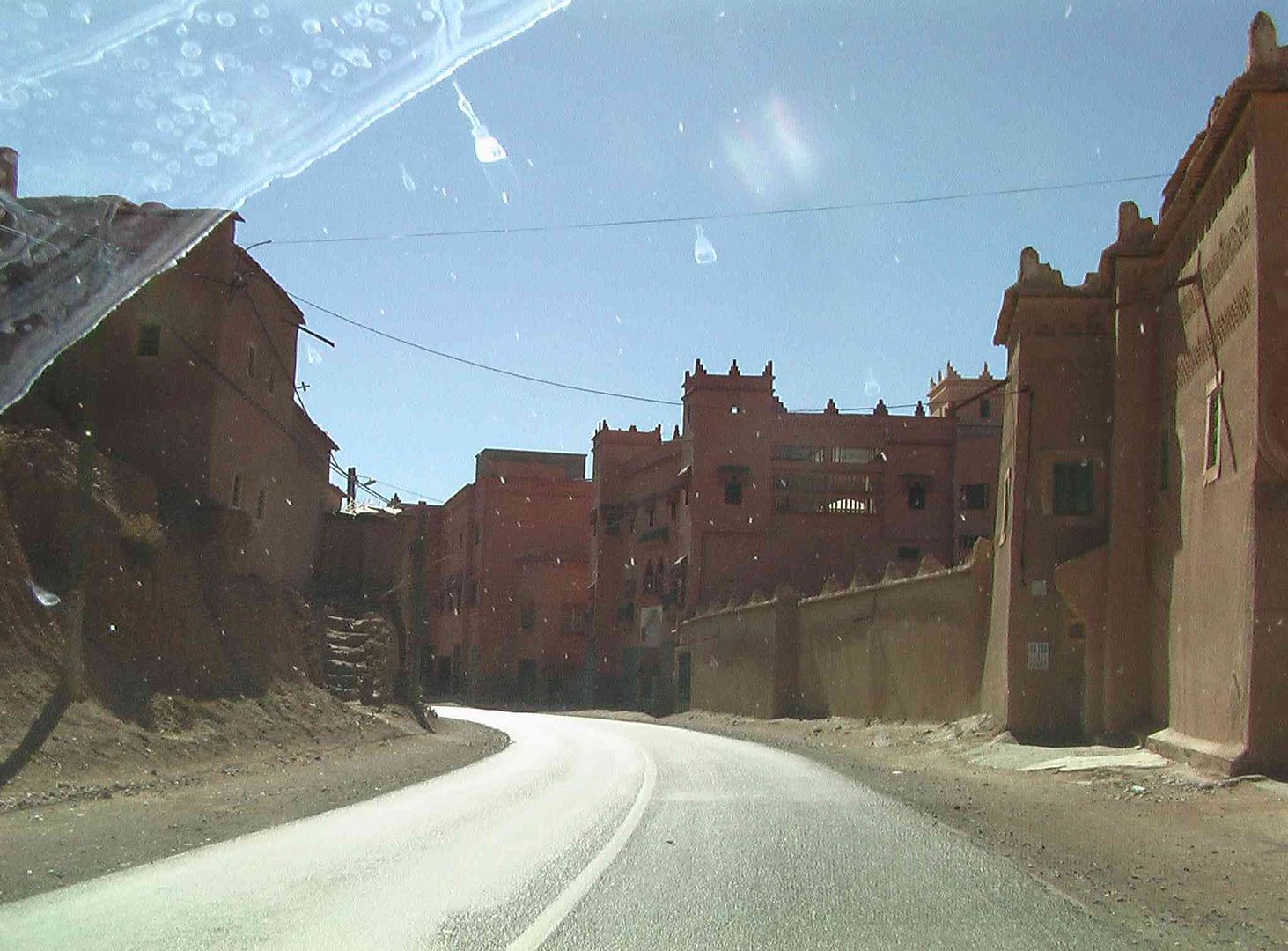
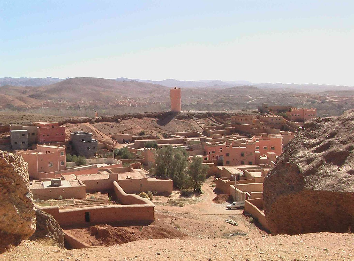
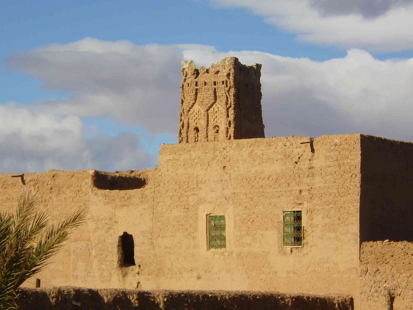
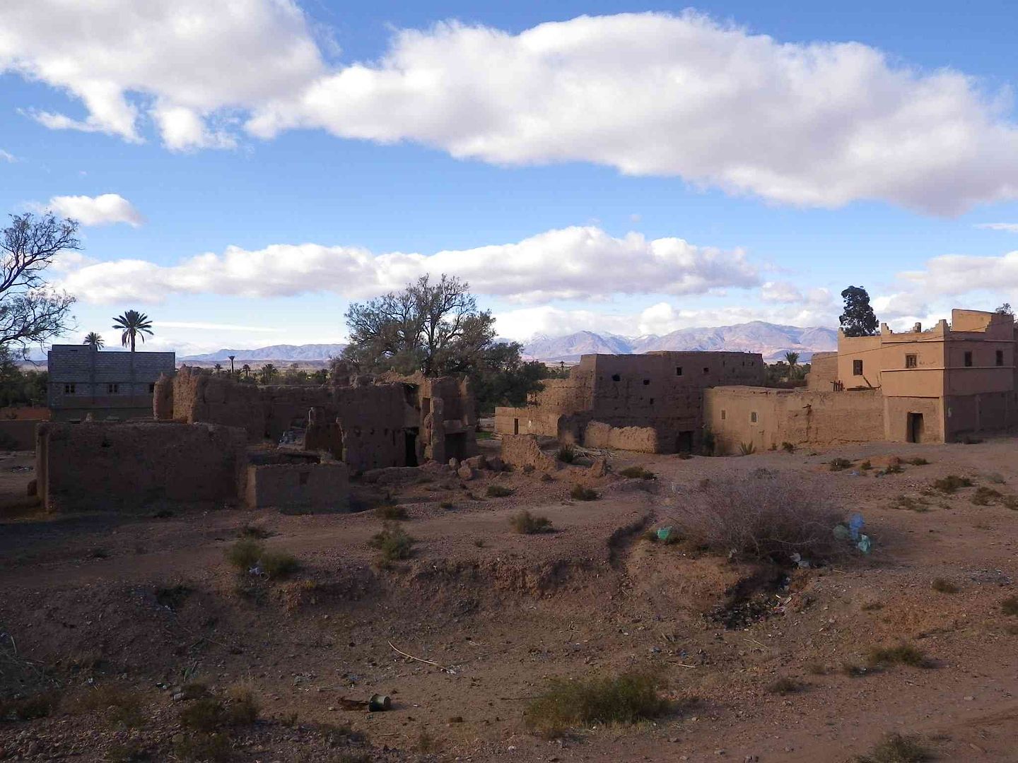
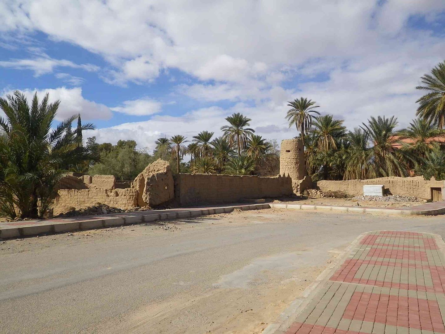
Another part of the old town is on our right elevated as though it is a lookout section ..
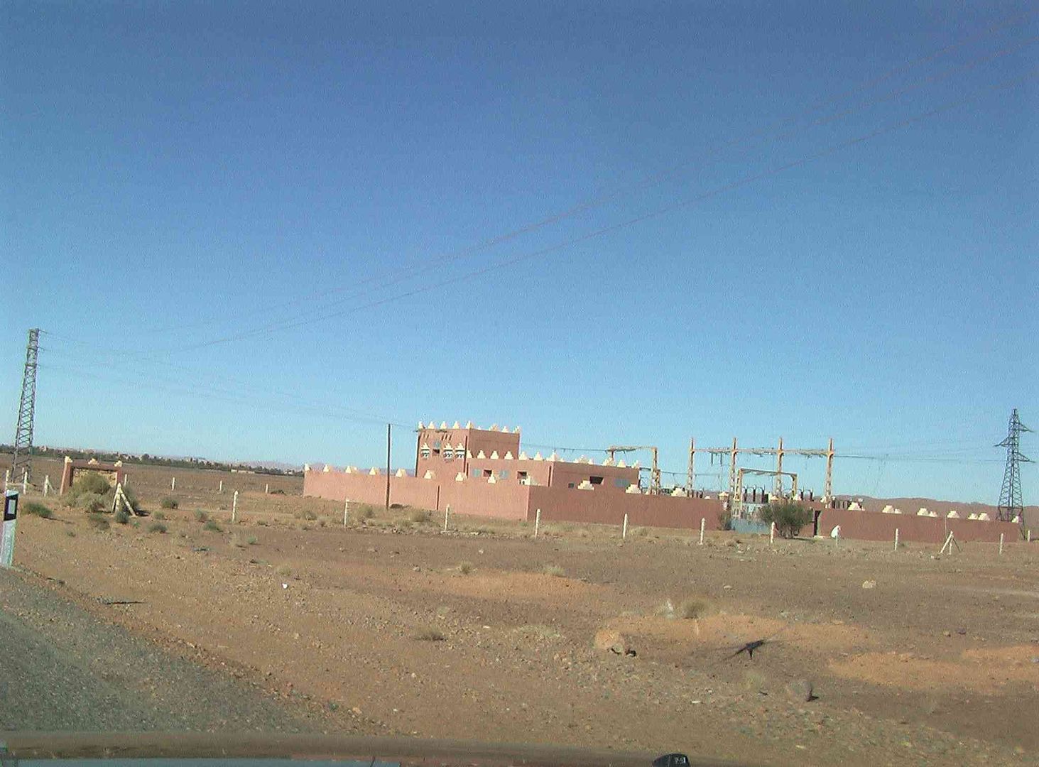
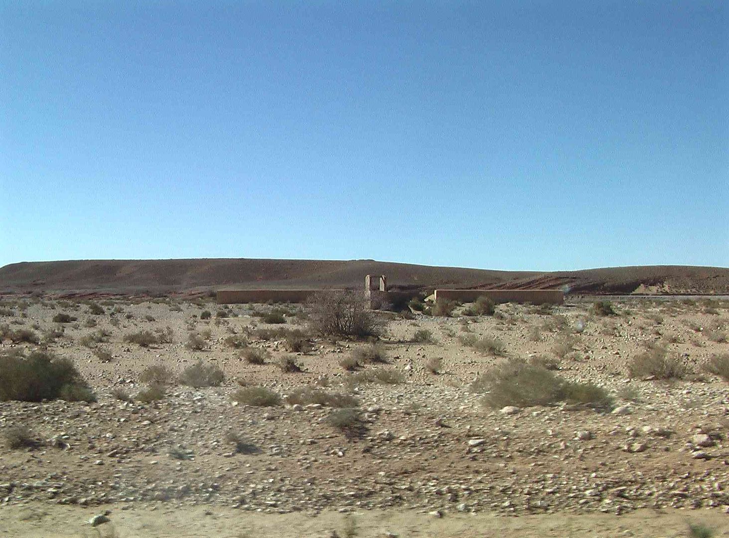
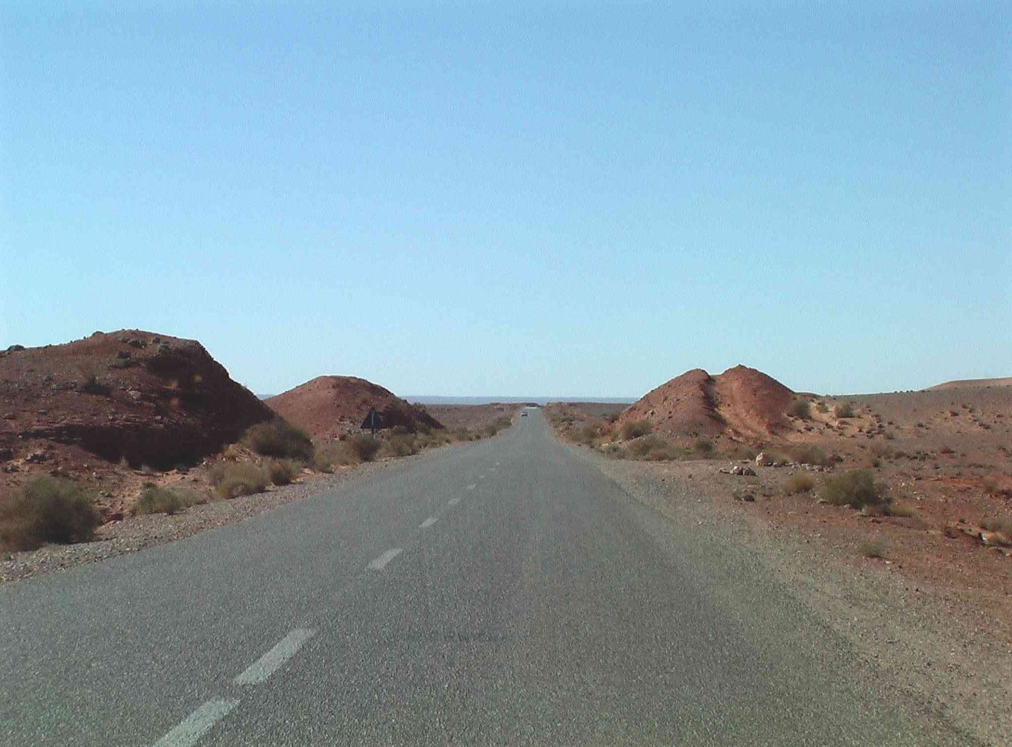
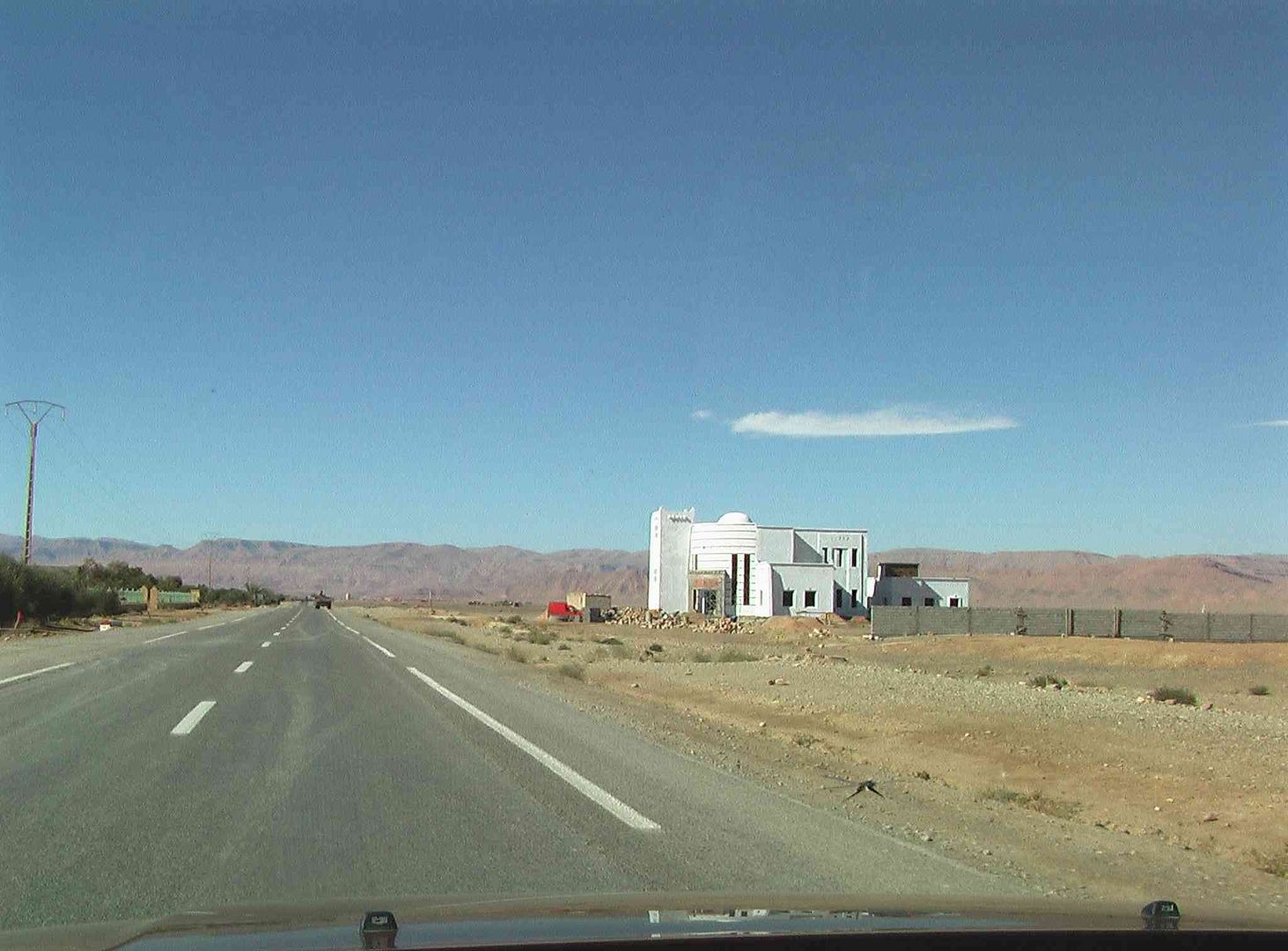
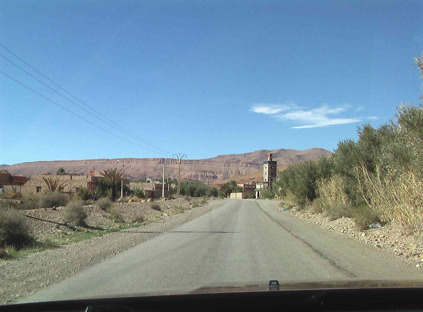
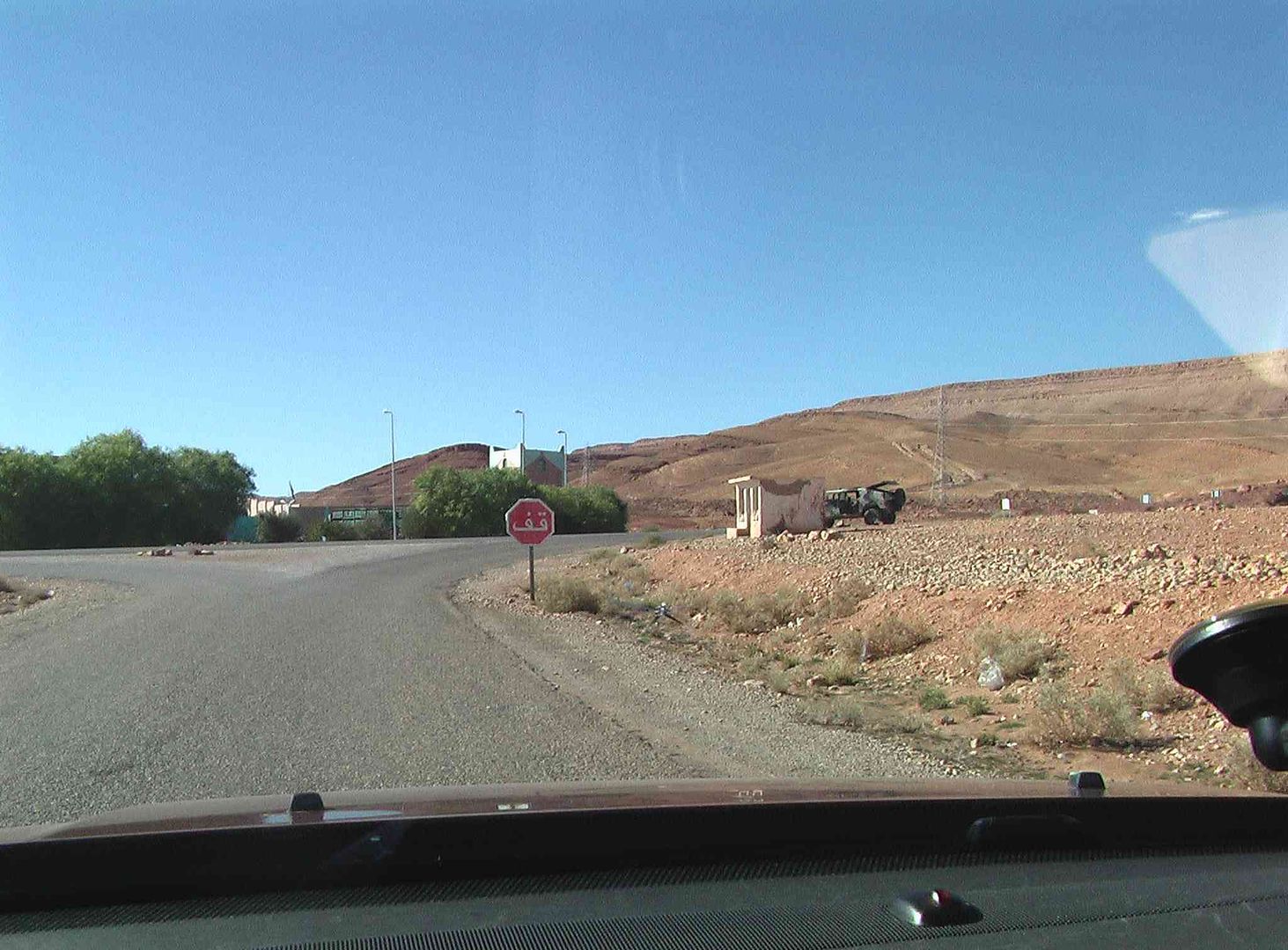
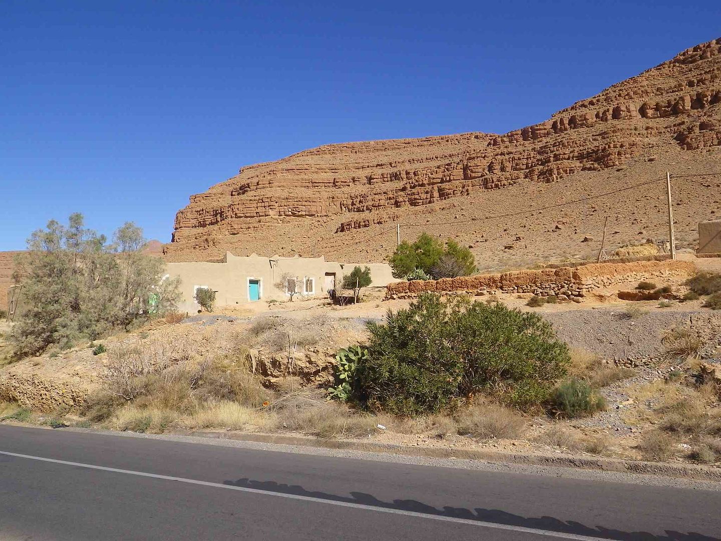
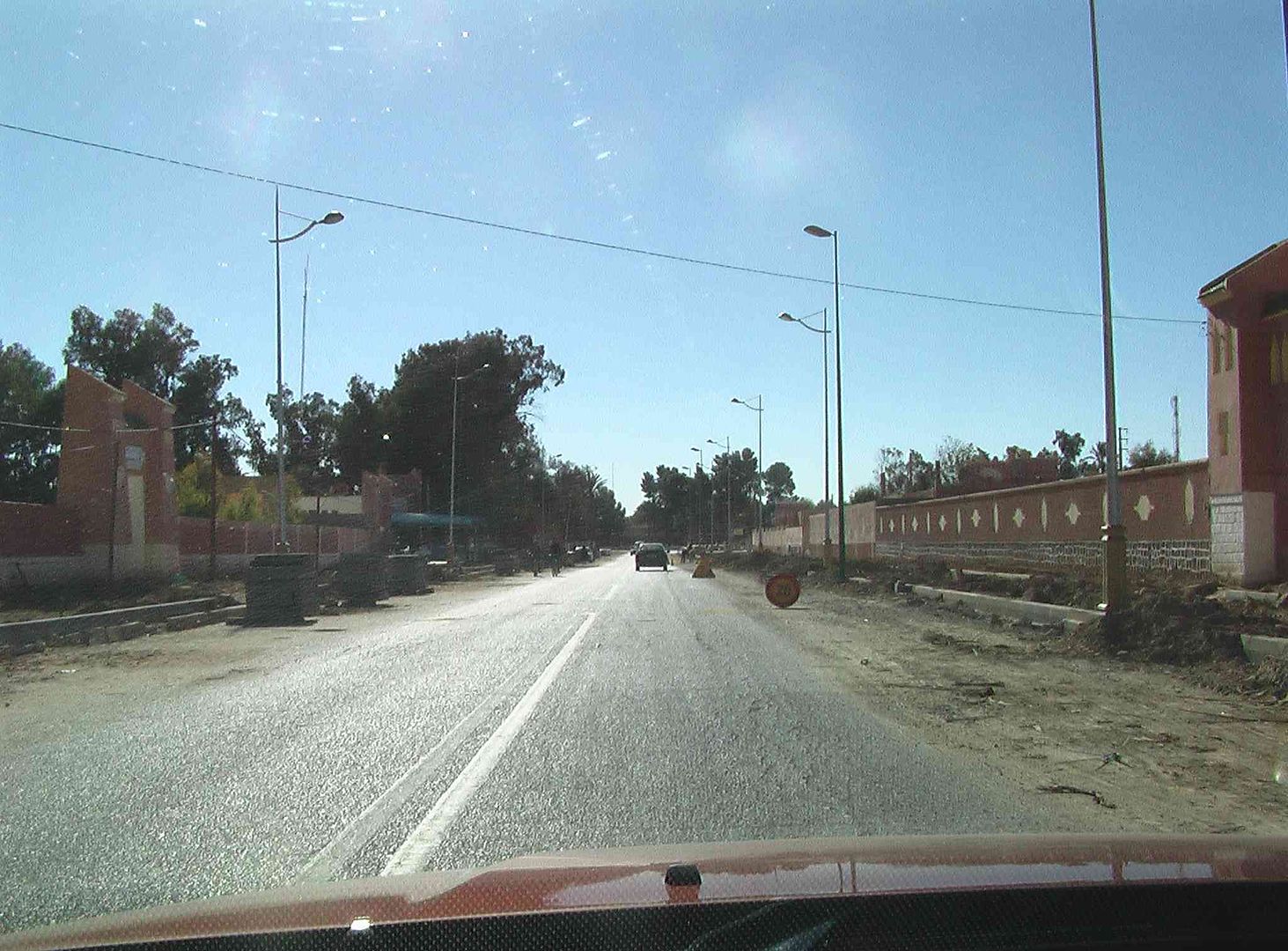
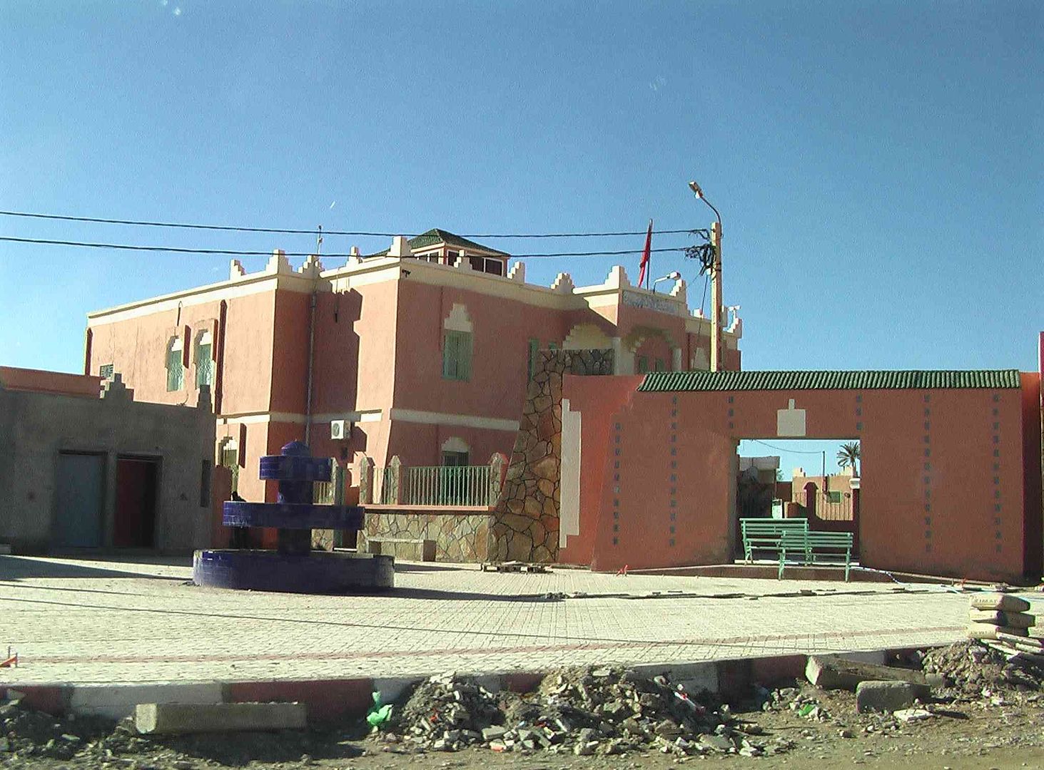
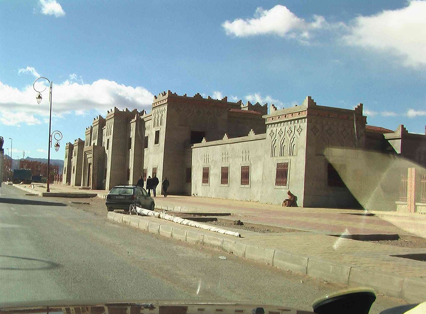
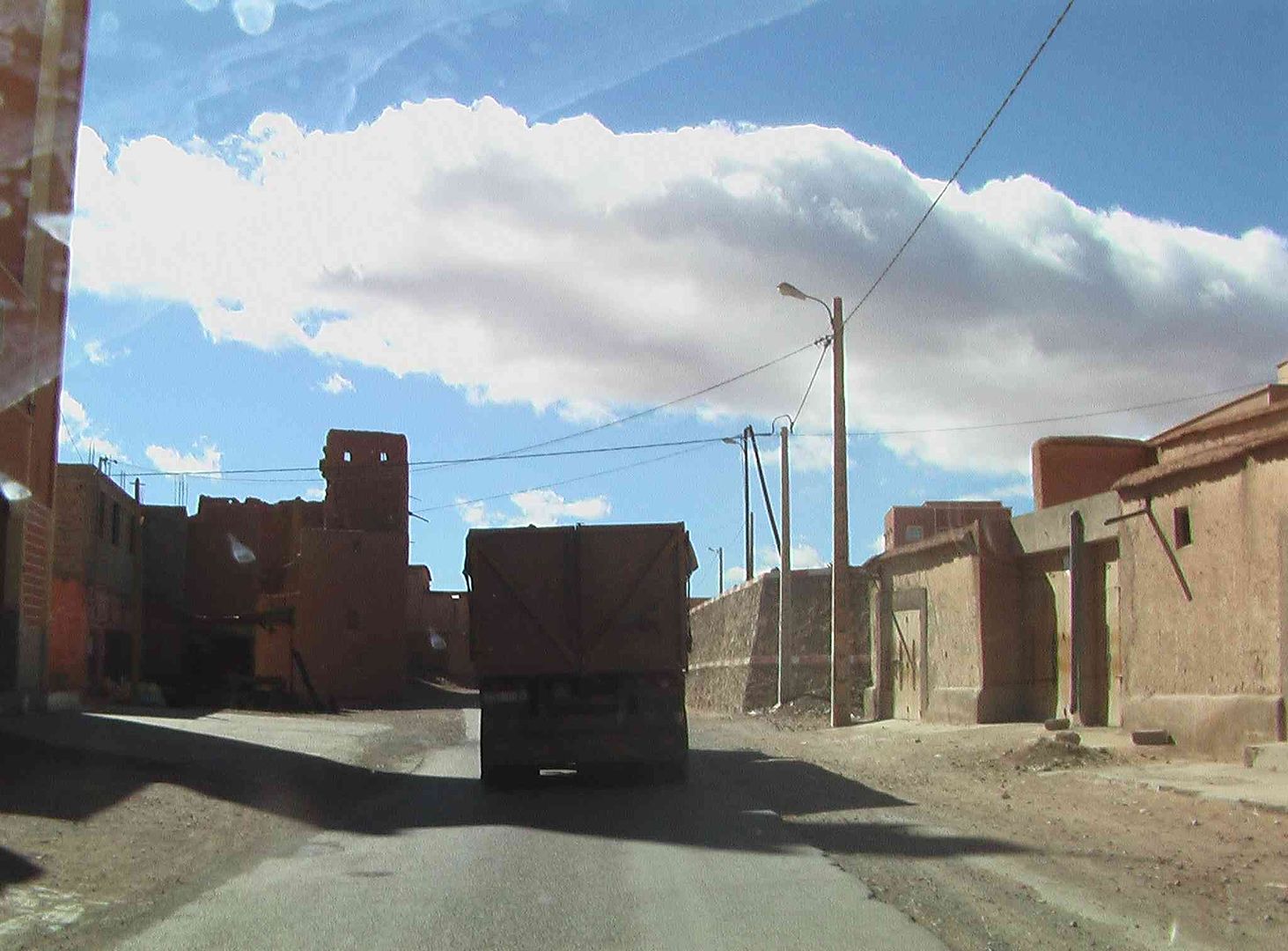
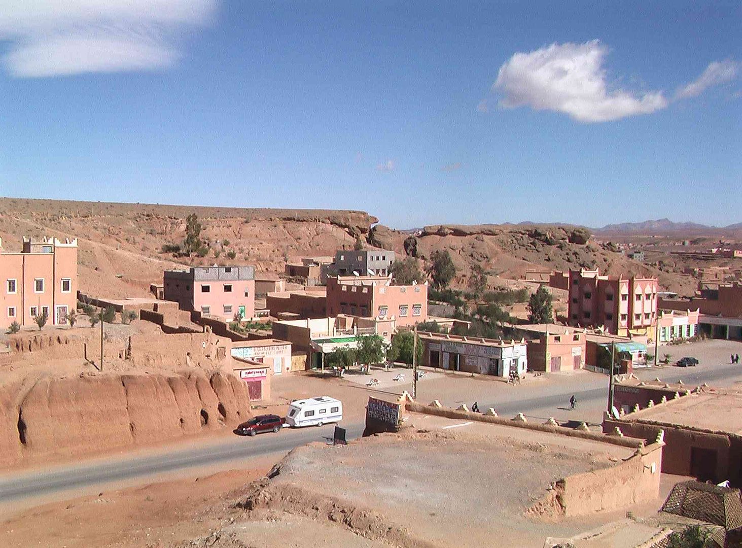
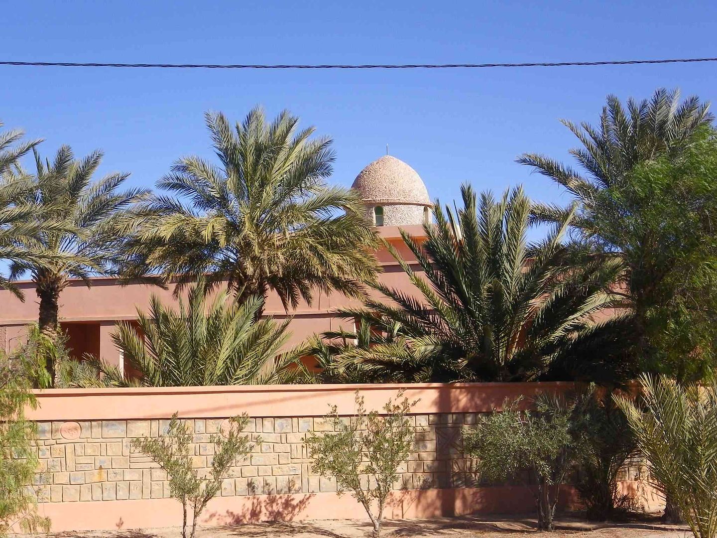
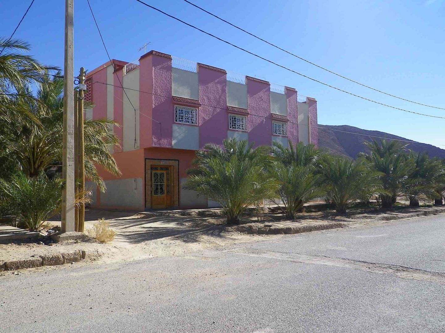
Continuing along the N17 we pass this rather strange looking building ..
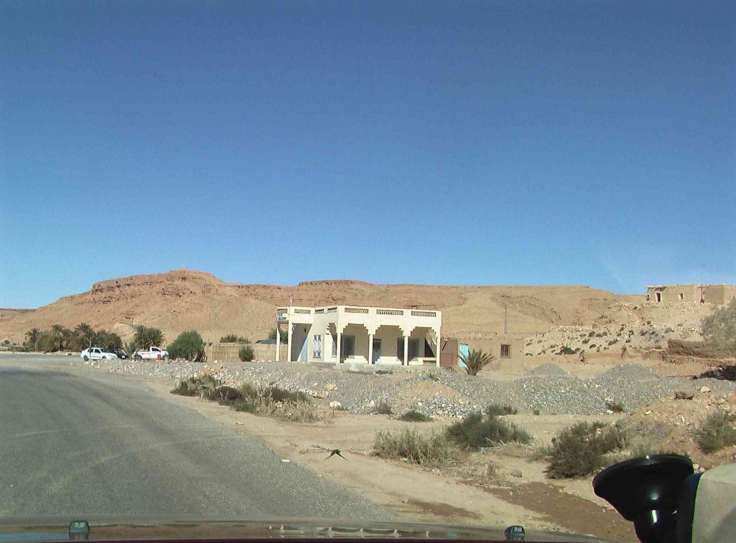
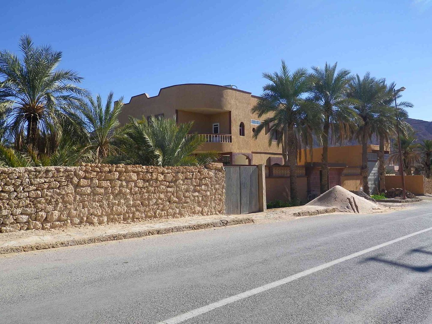
With an example of one of the nice houses that are along the road ..
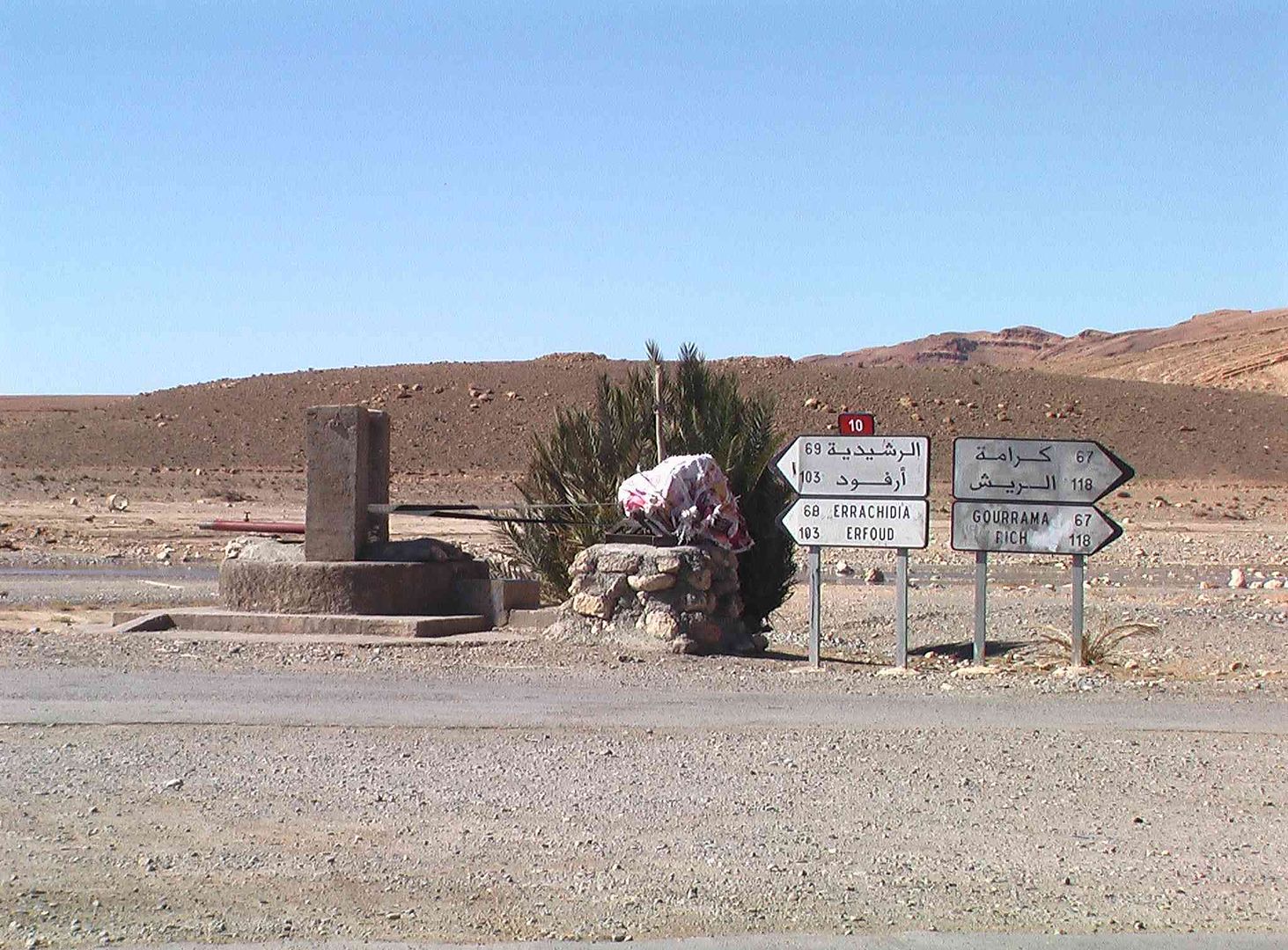
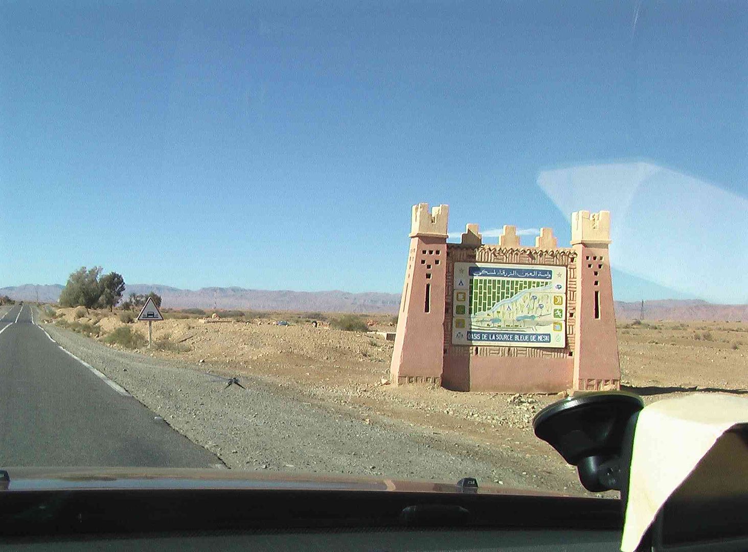
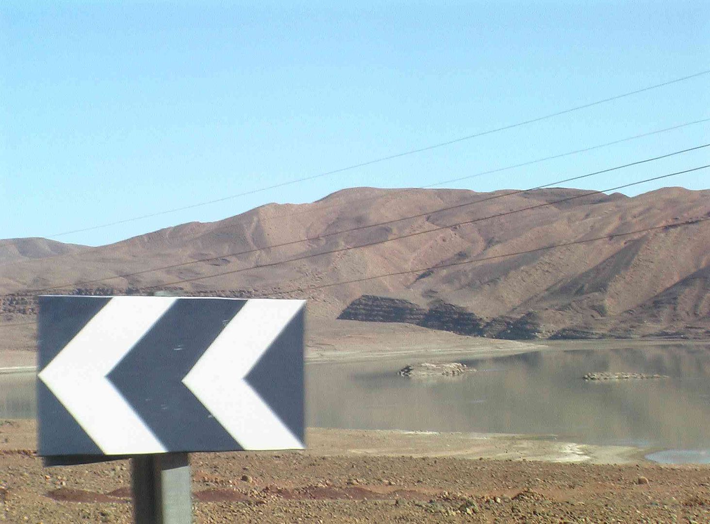
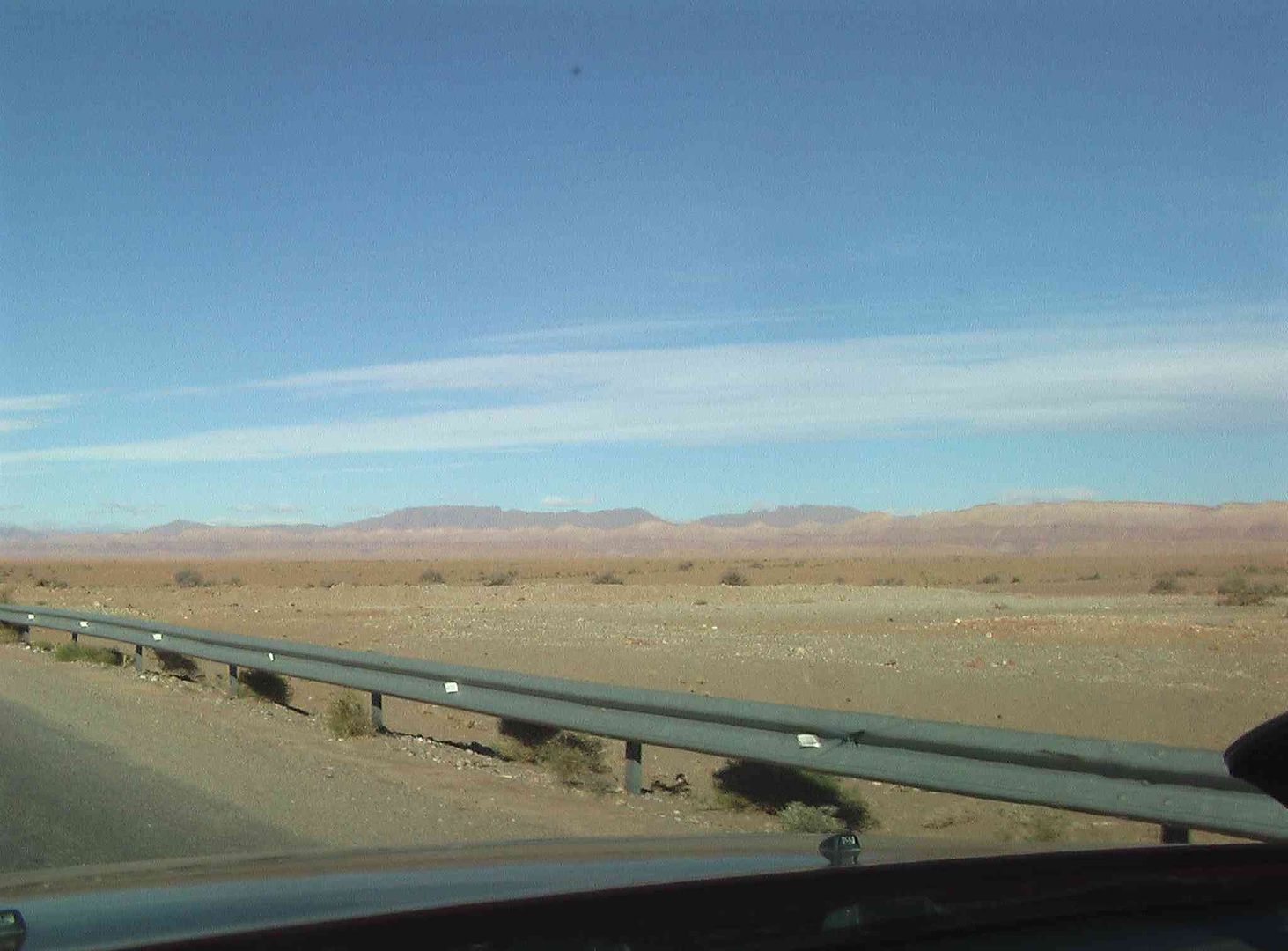
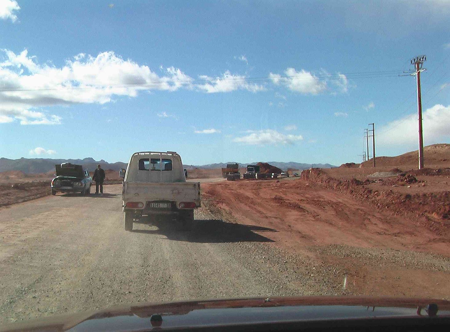
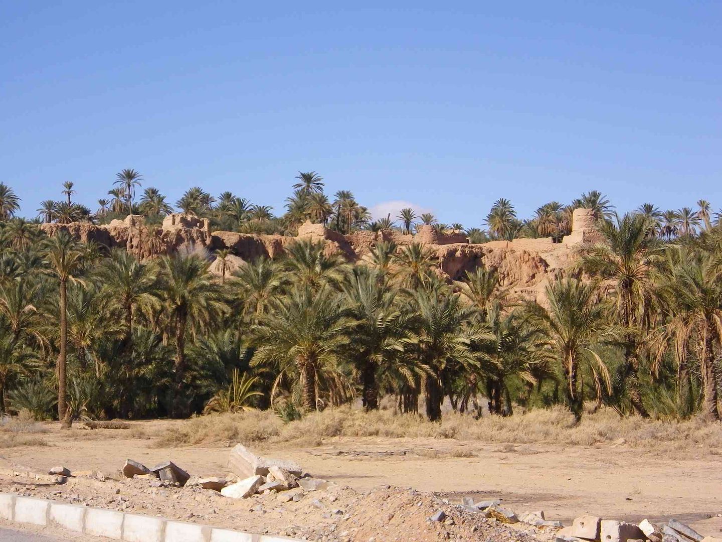
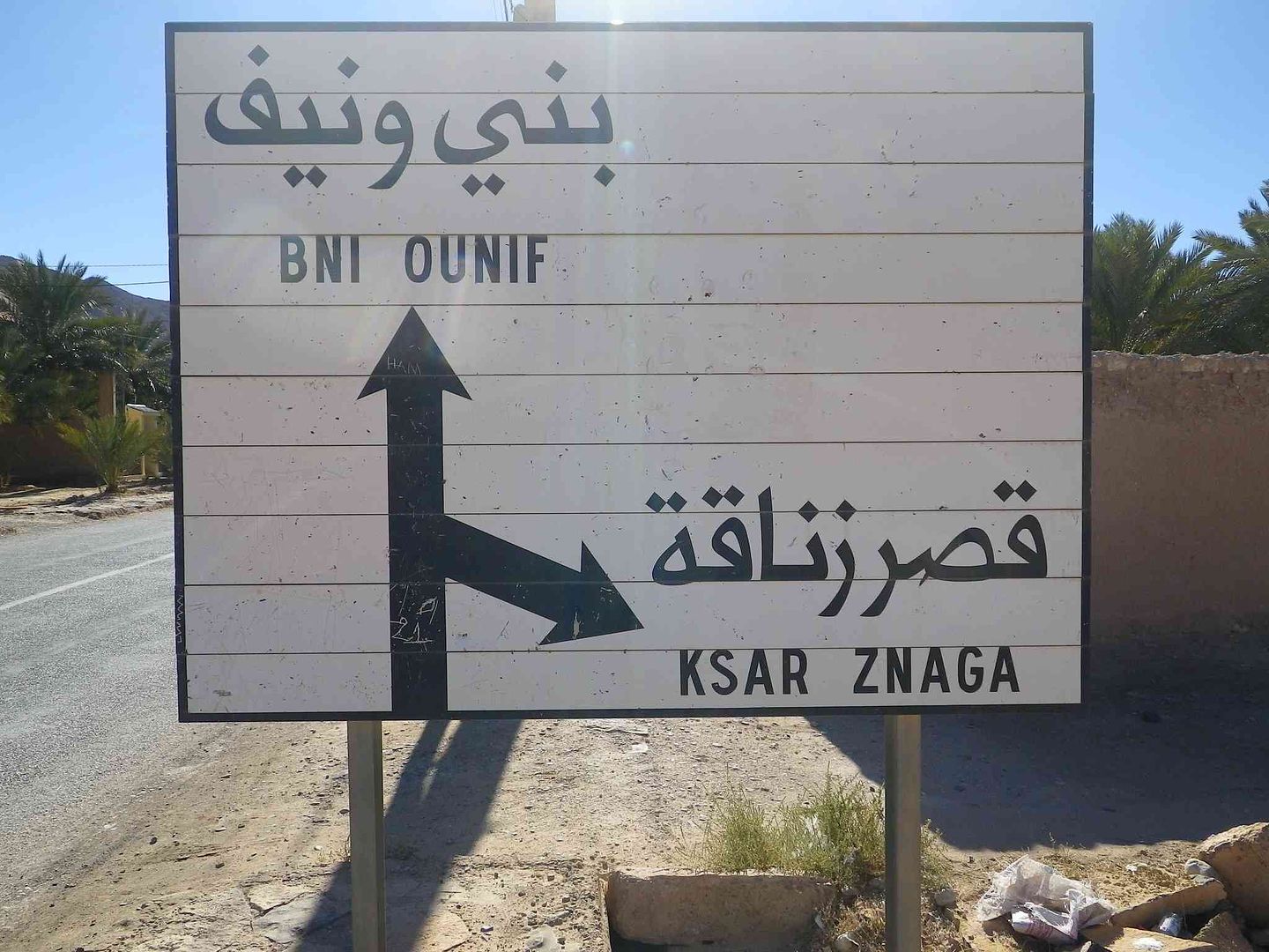
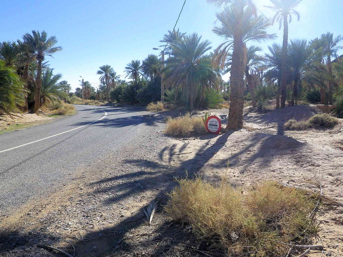
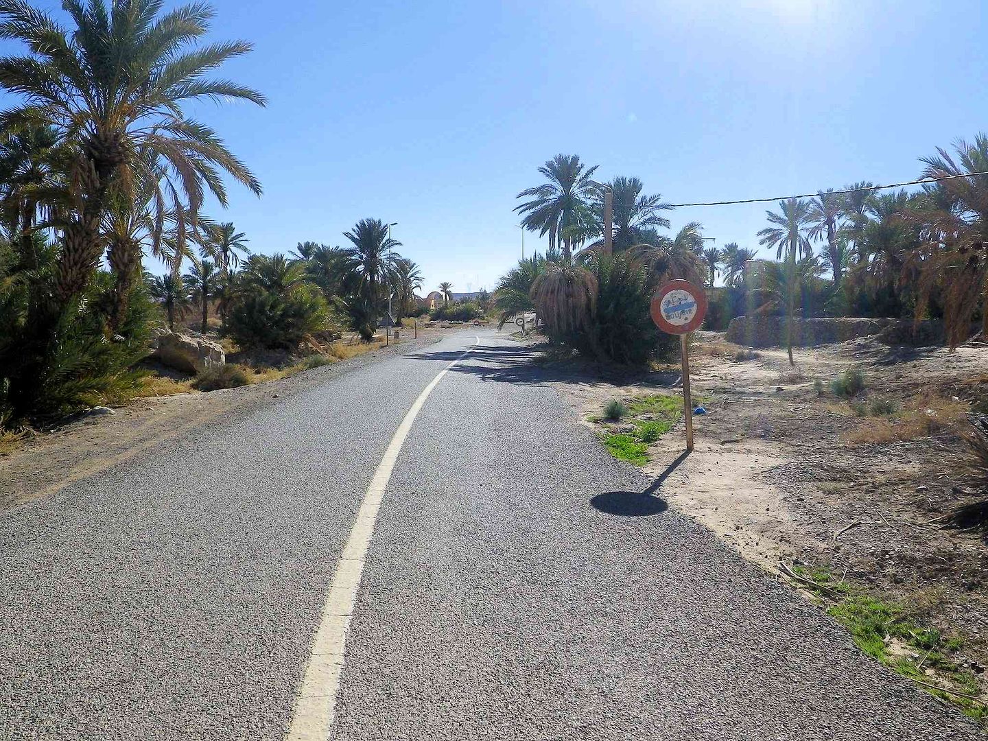
While another of the Ksars is off to the right, we continue straight on towards BNI OUNIF....
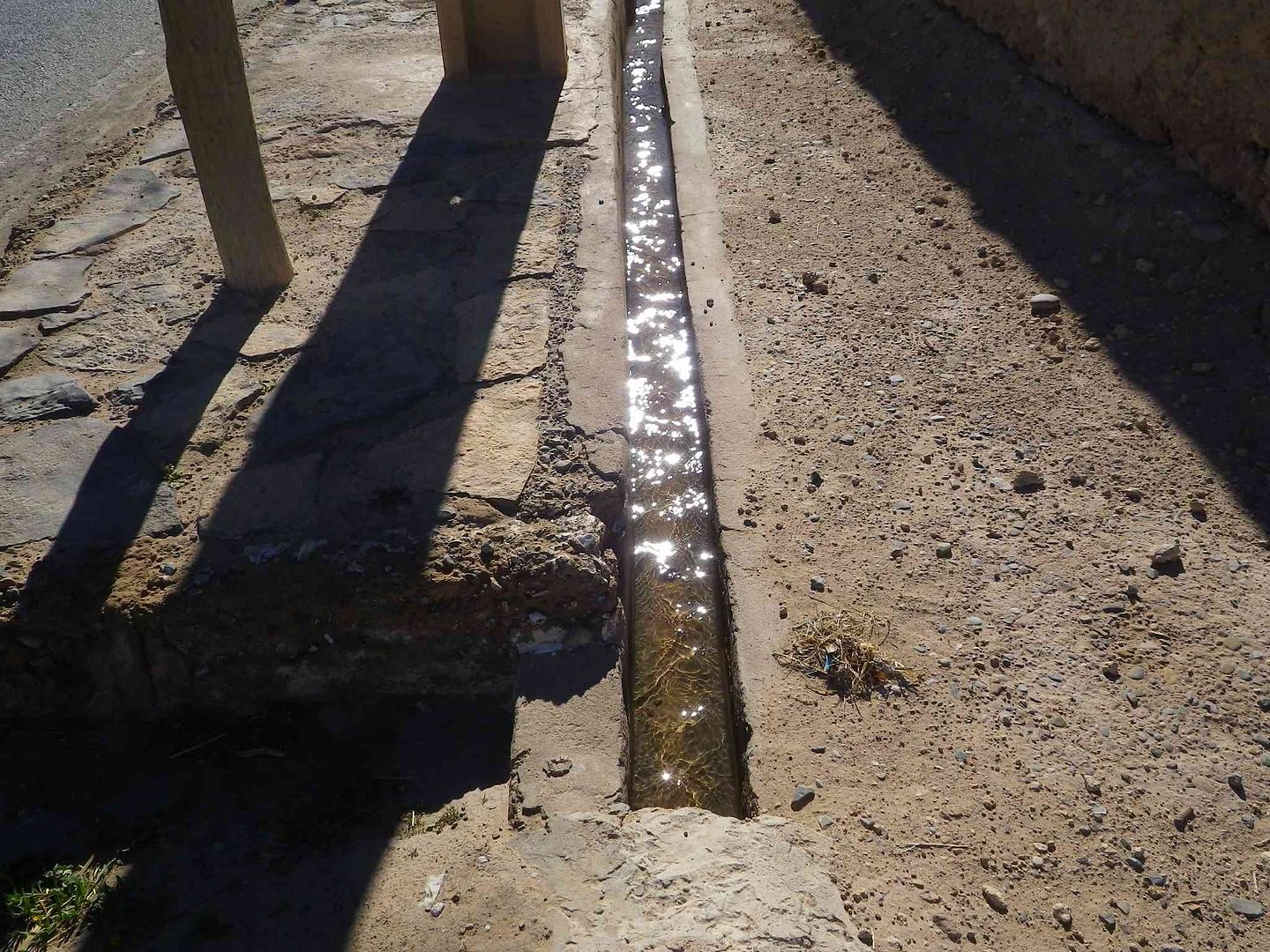
As irrigation water passes alongside the sign and on down the road .
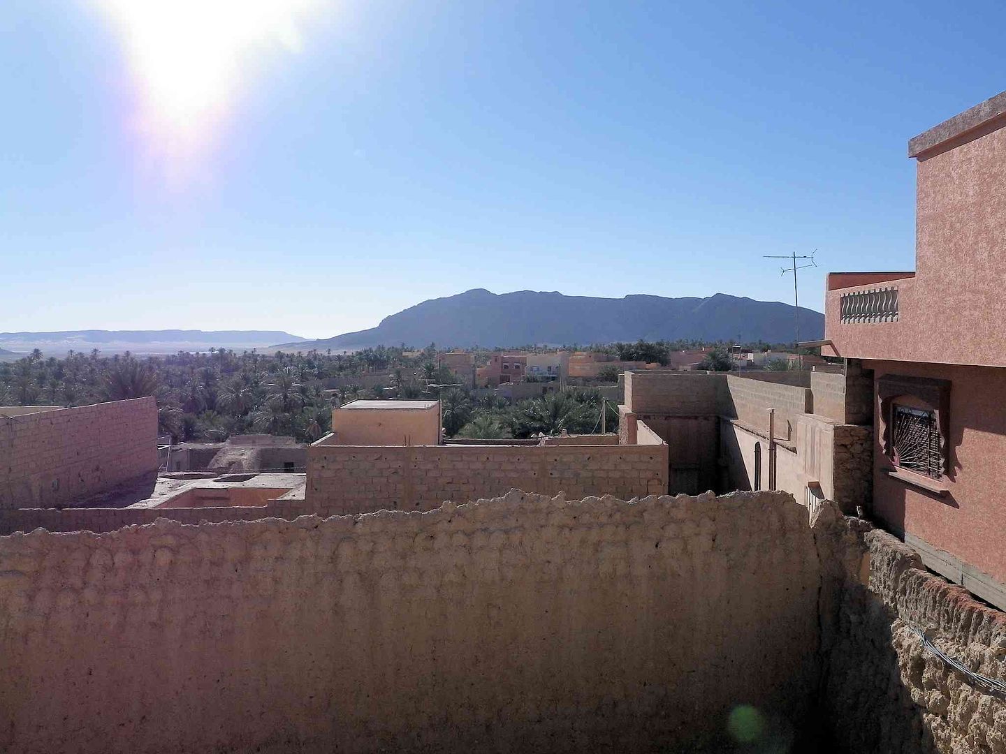
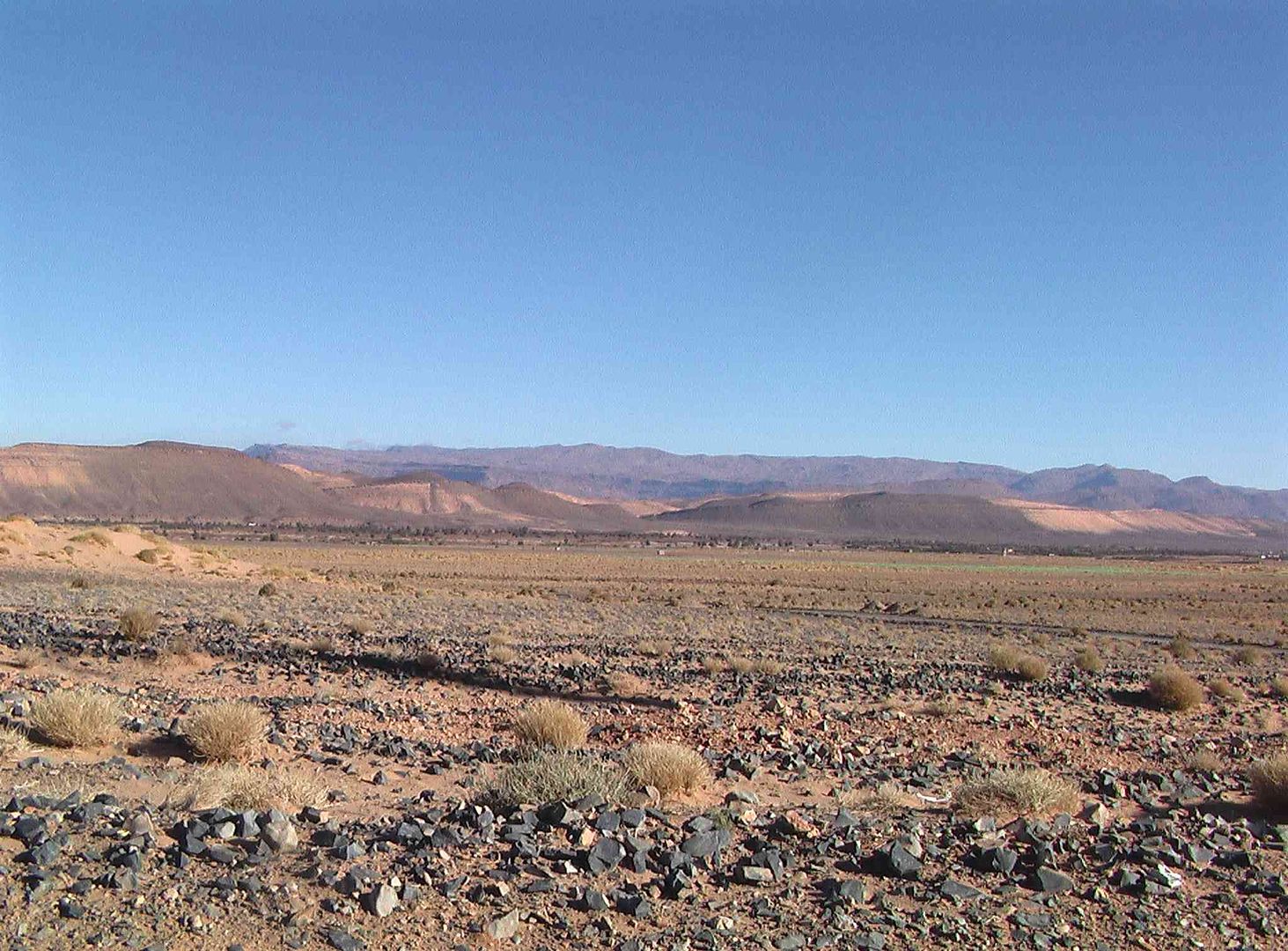
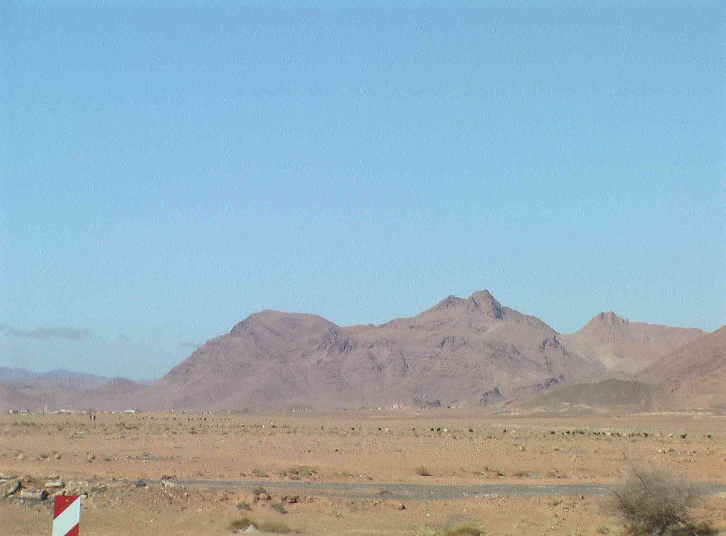
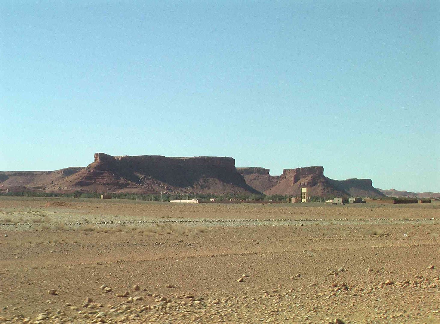
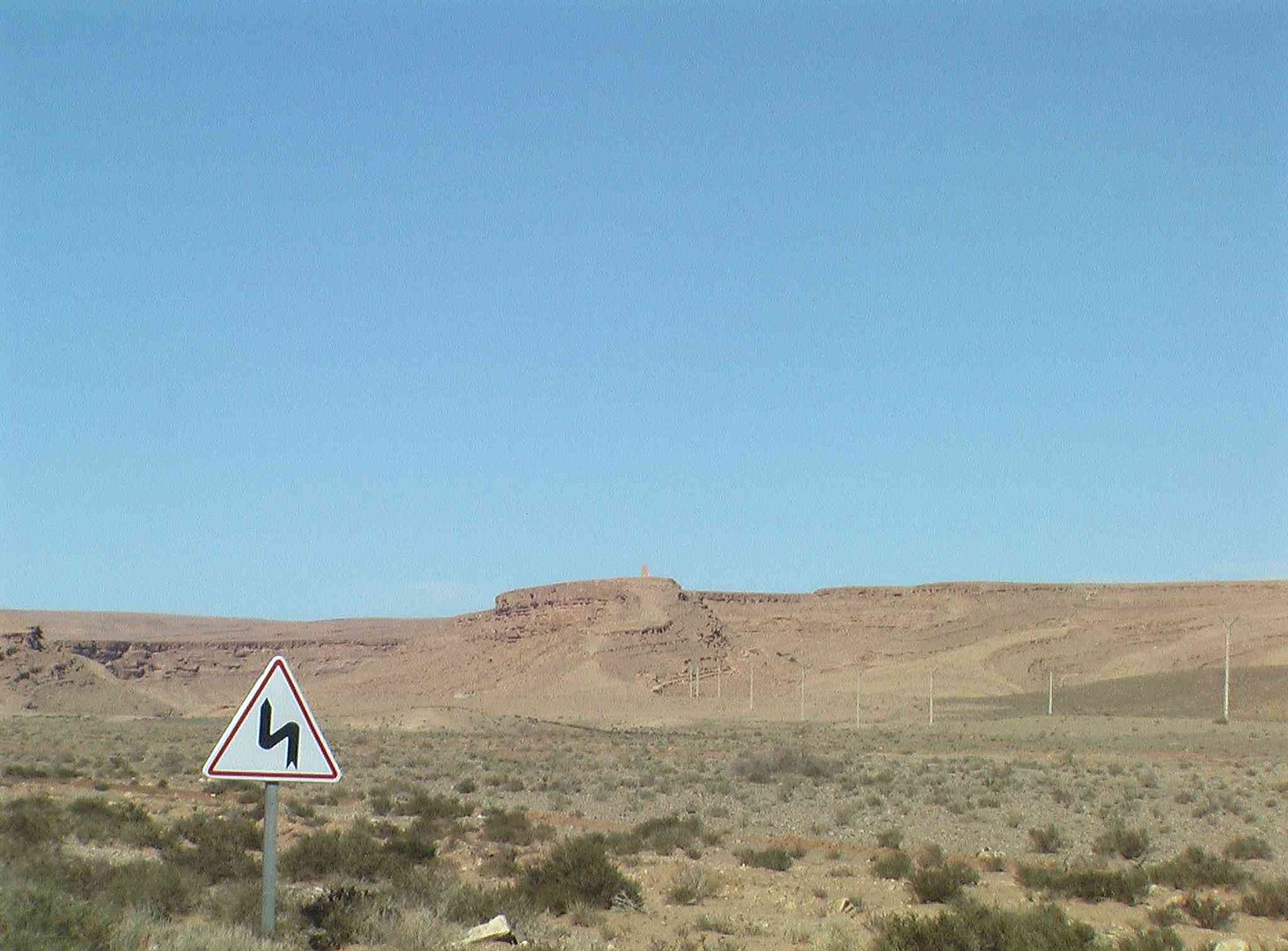
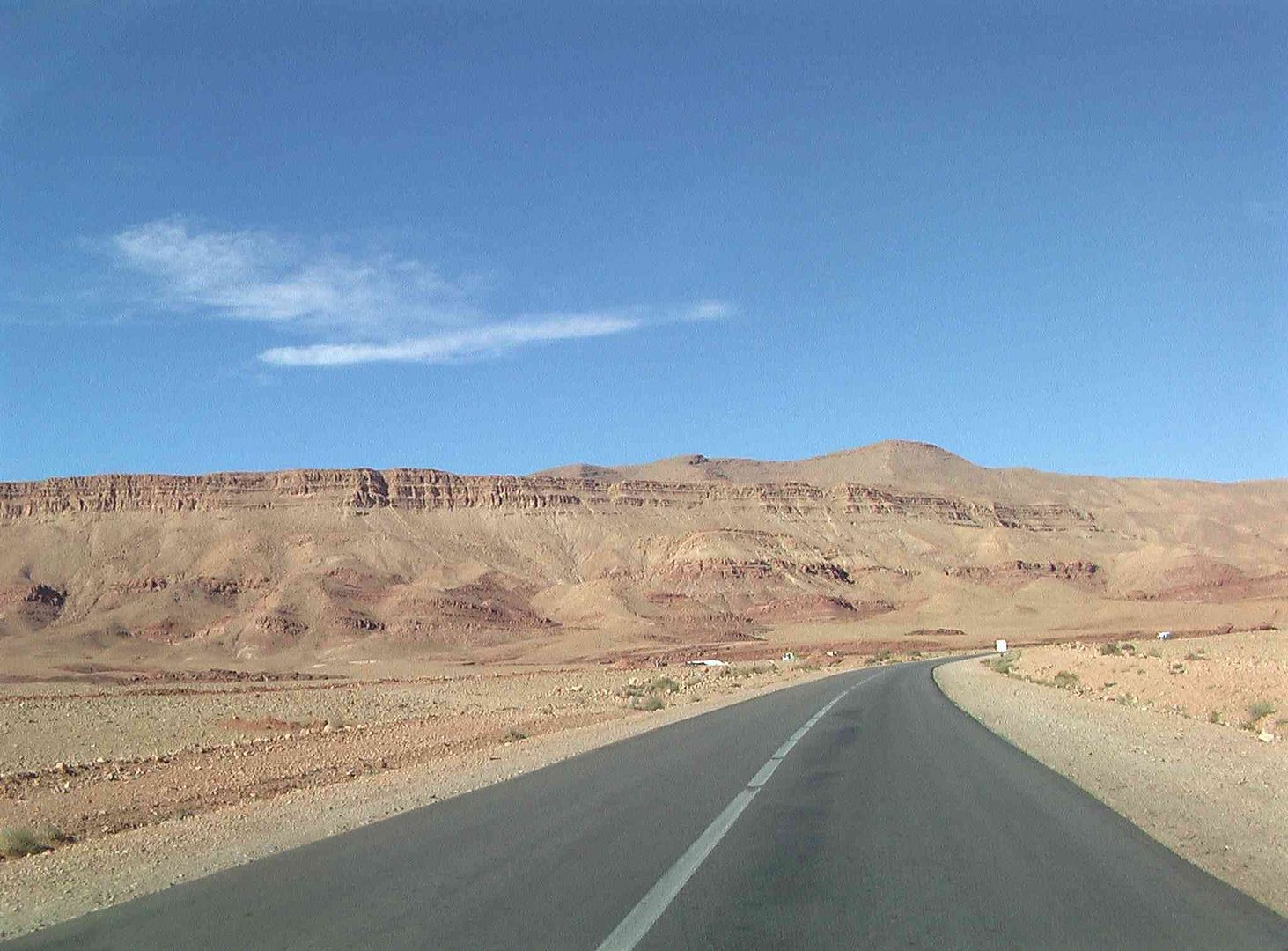
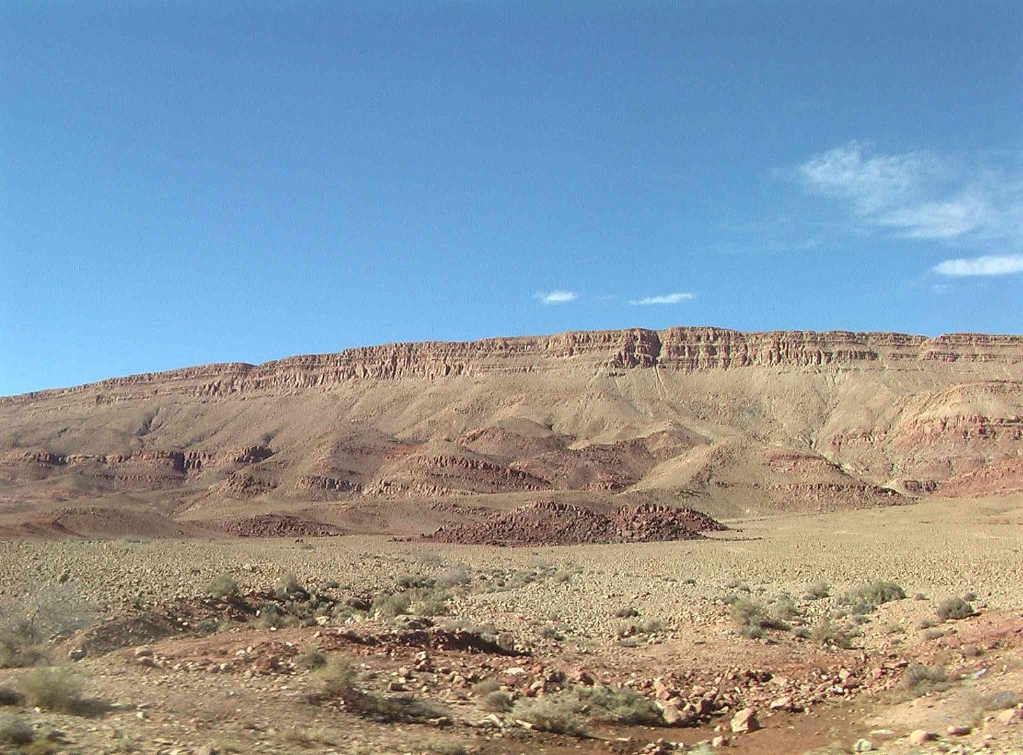
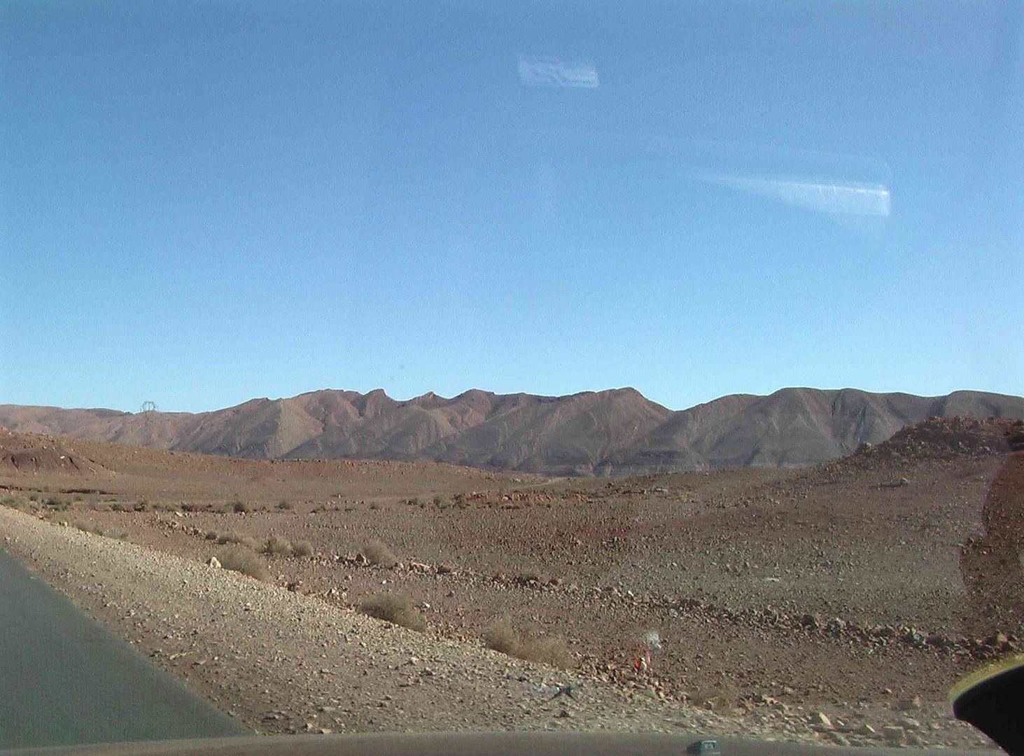
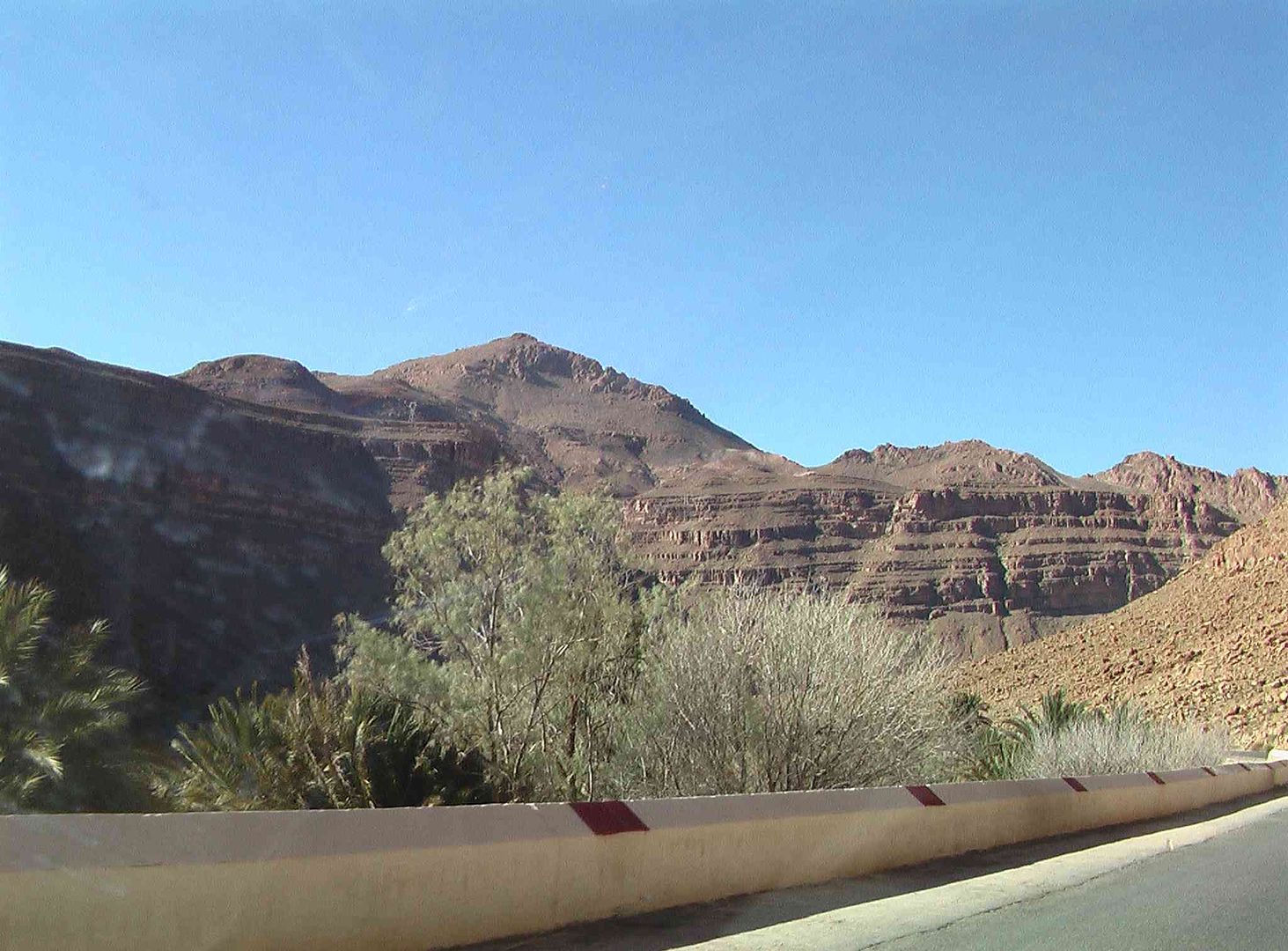
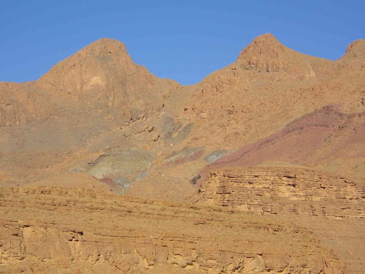
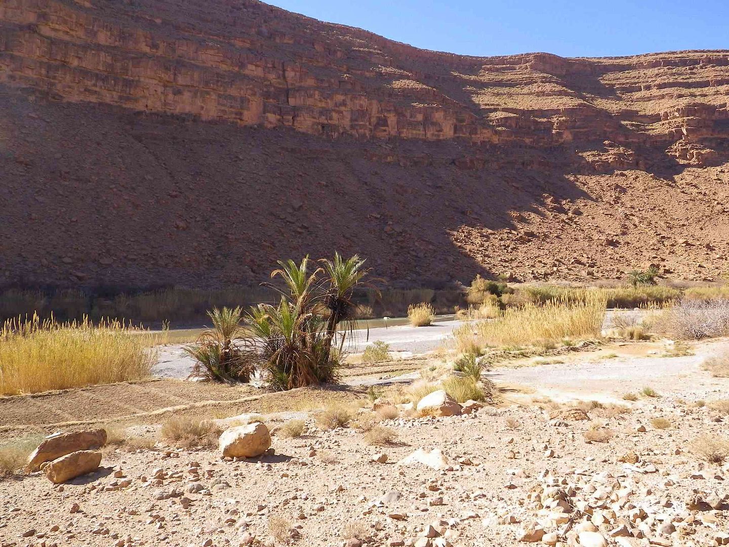
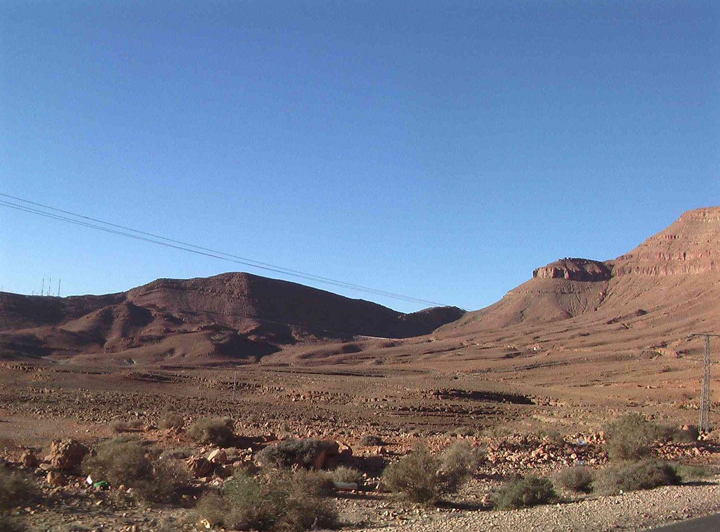
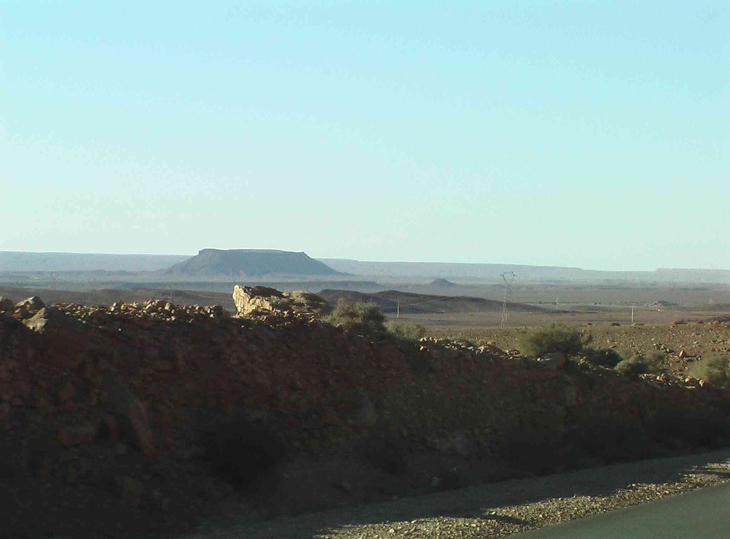
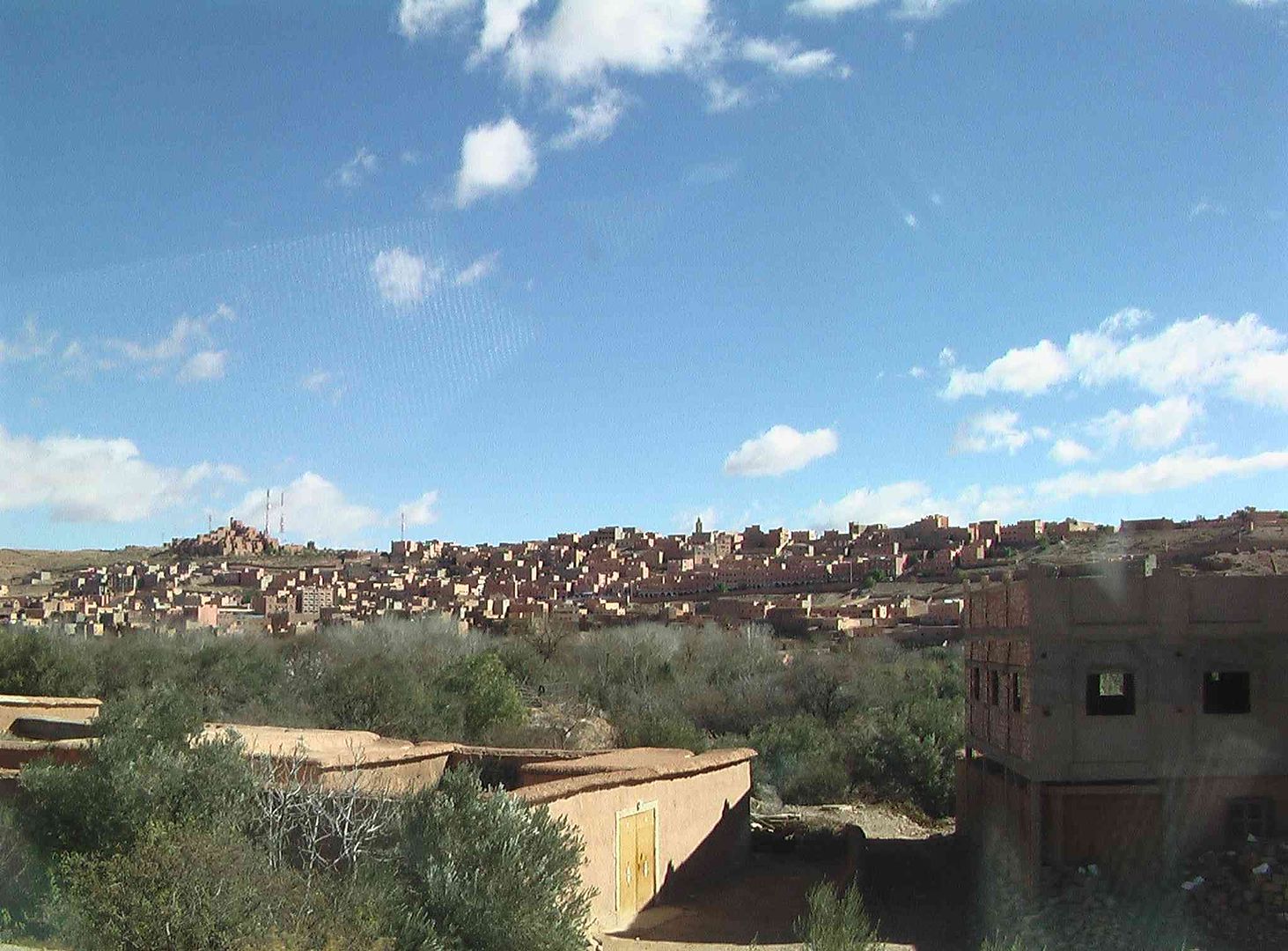
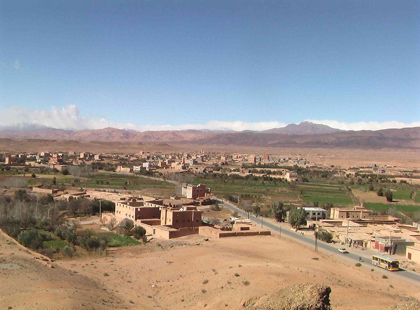
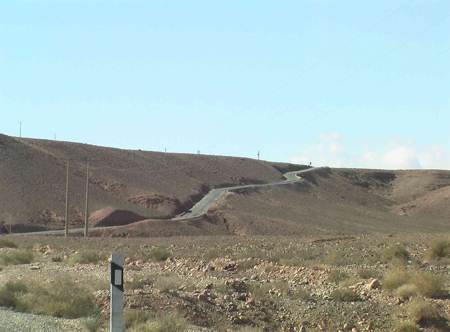
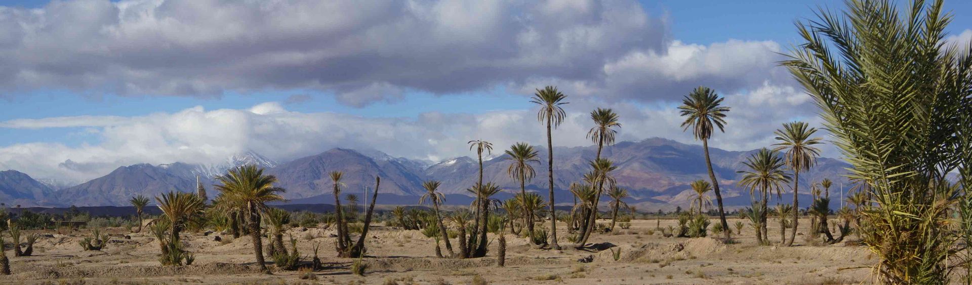
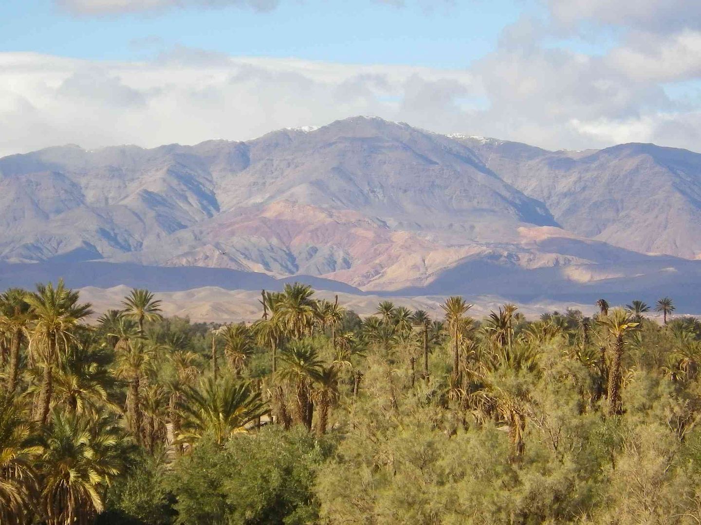
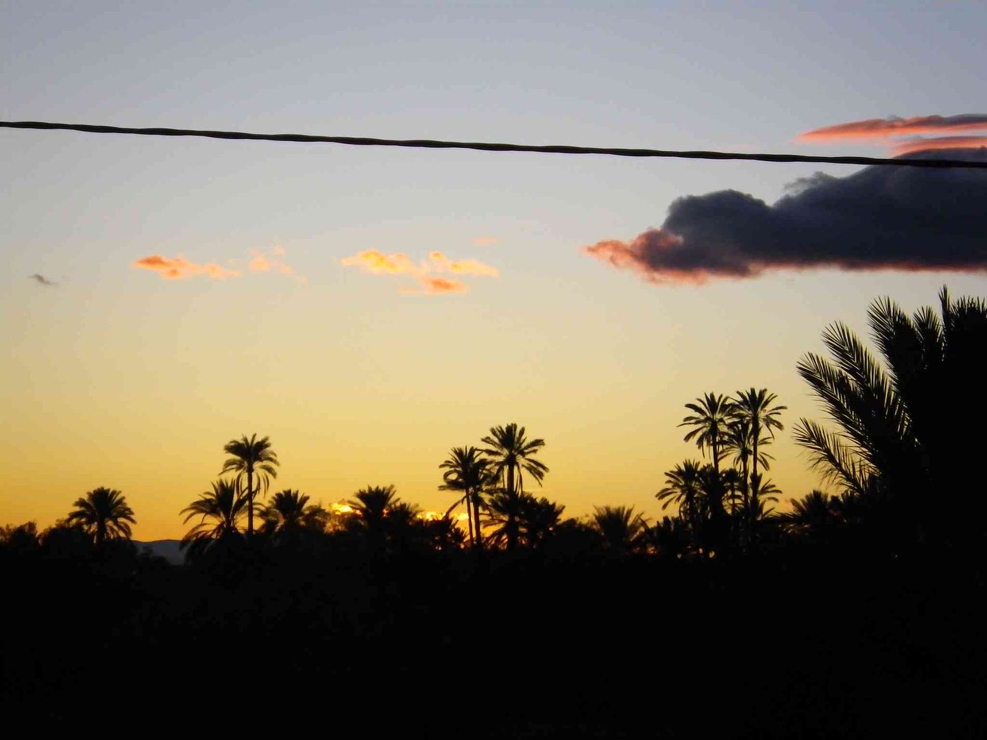
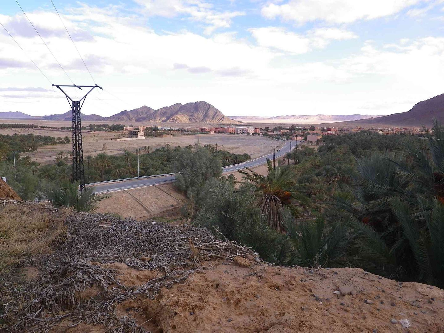
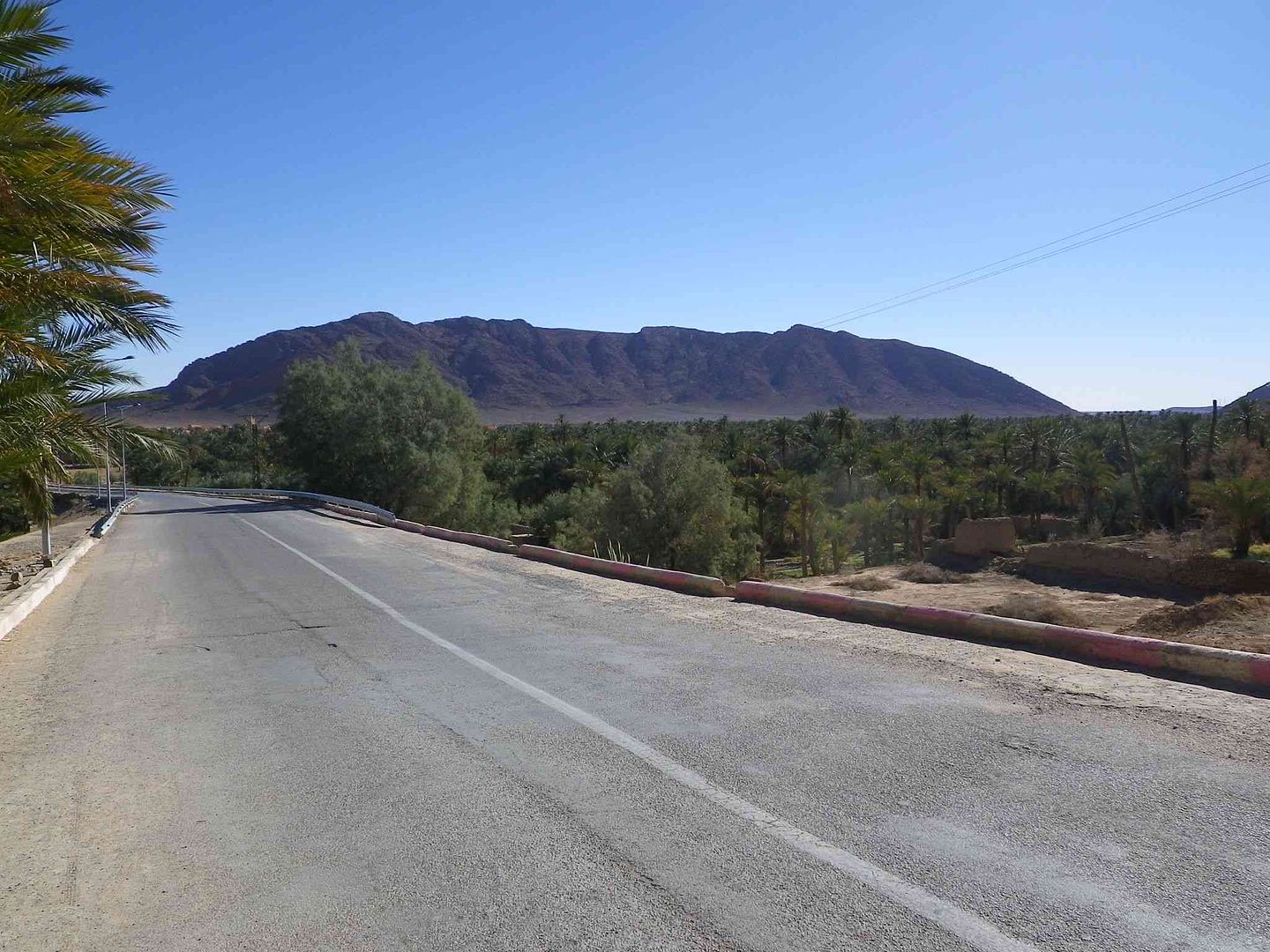
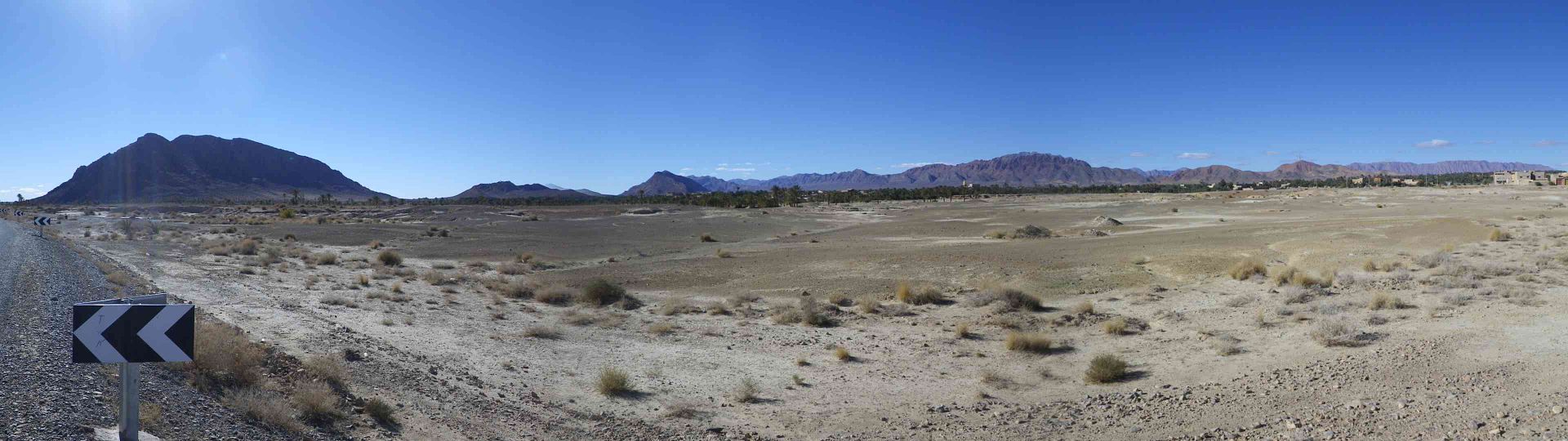
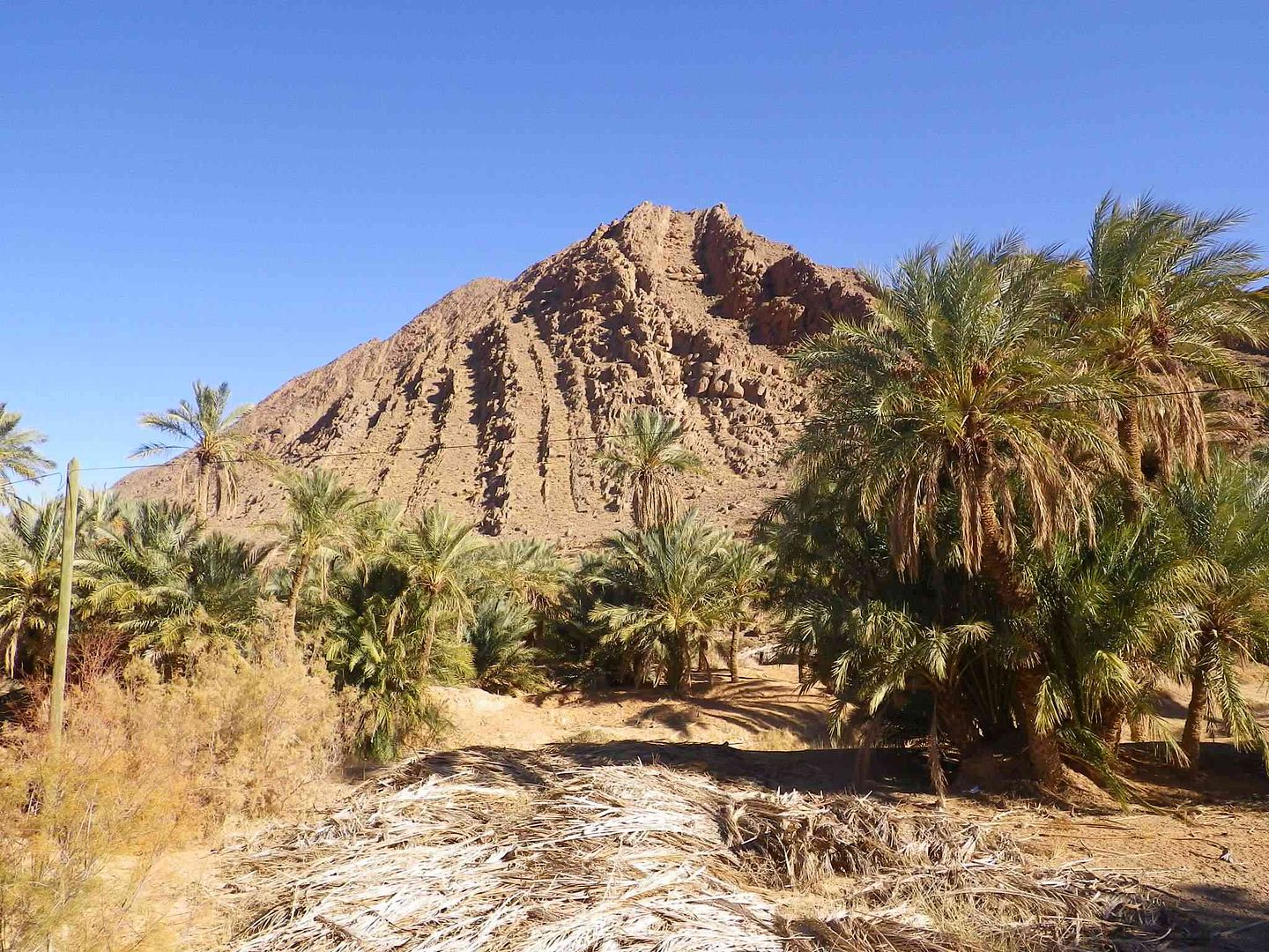
A Panoramic view that really doesnt do justice to the view that your eyes get to see .
It seems that the border runs across this Mountain as there is an Algerian flag on top, just to the right of where the Power Line comes up off the Mountain which sadly you cannot see in the picture.....
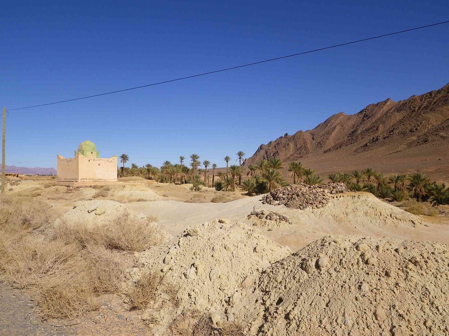
On our left is a cemetery which has been virtually destroyed as only a few graves have been re-marked out with rectangles of stones placed around them, while it appears that the road has been driven through the middle as there are graves on both sides of the road
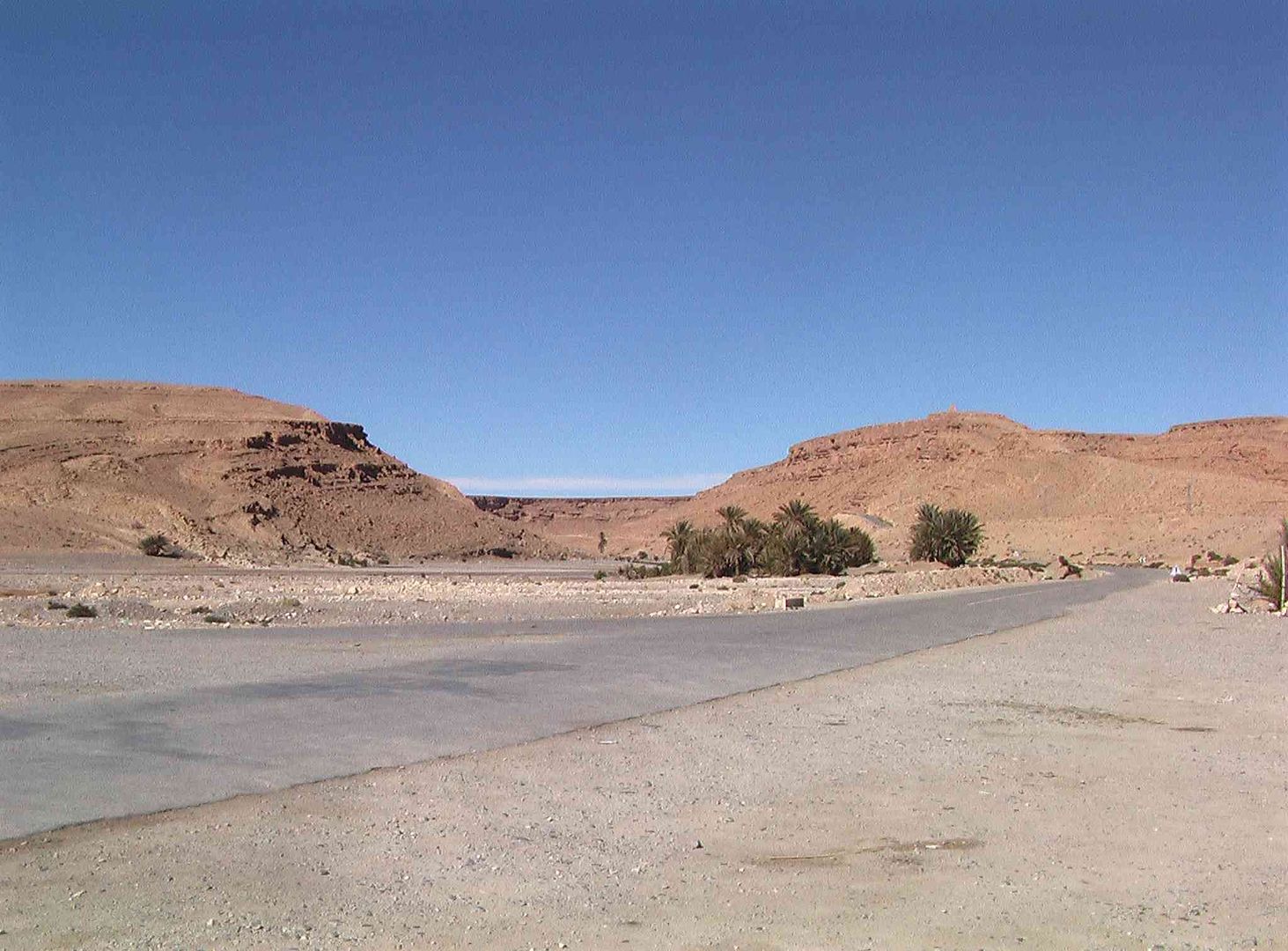
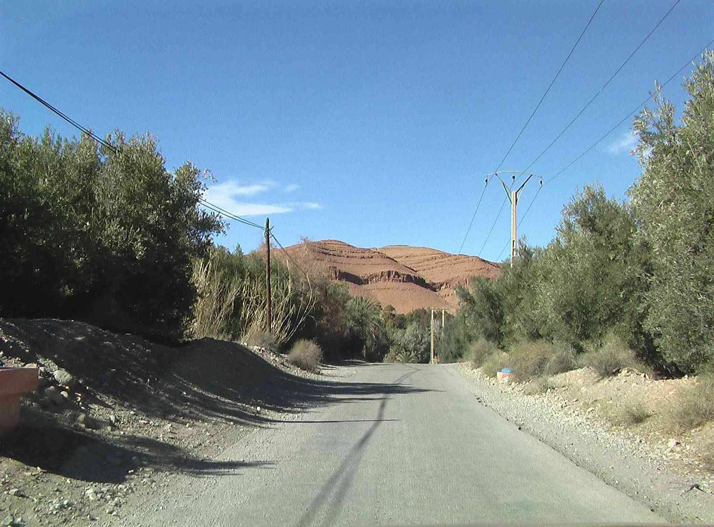
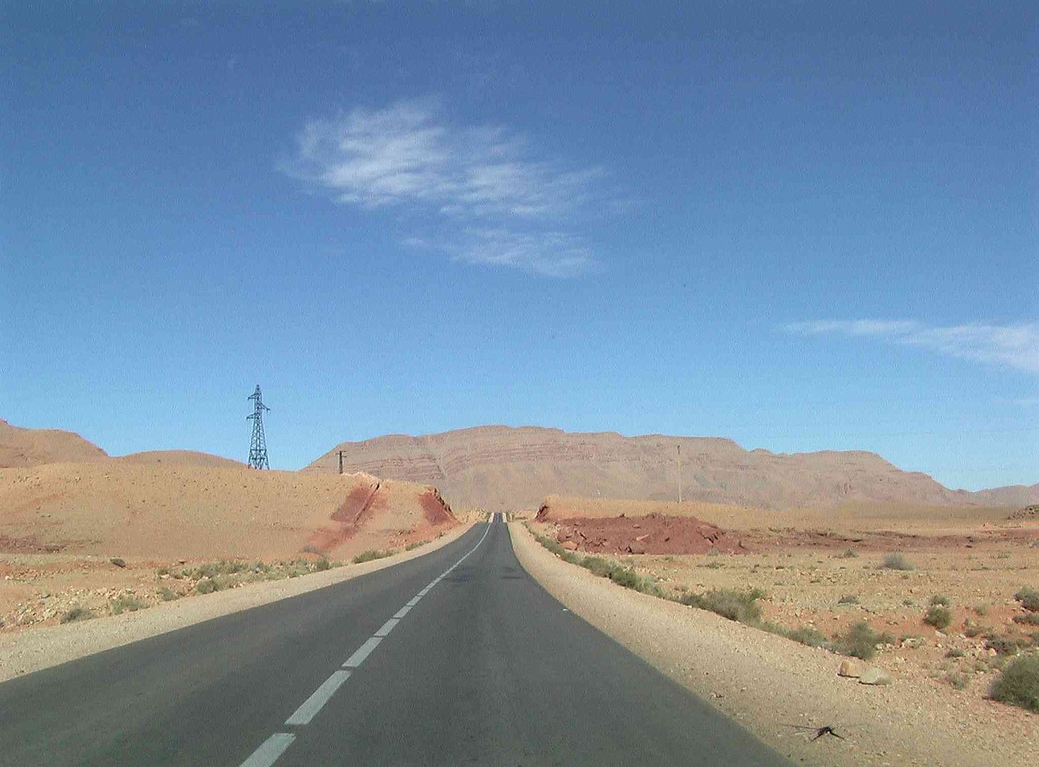
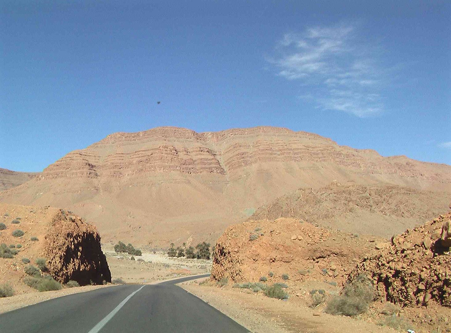
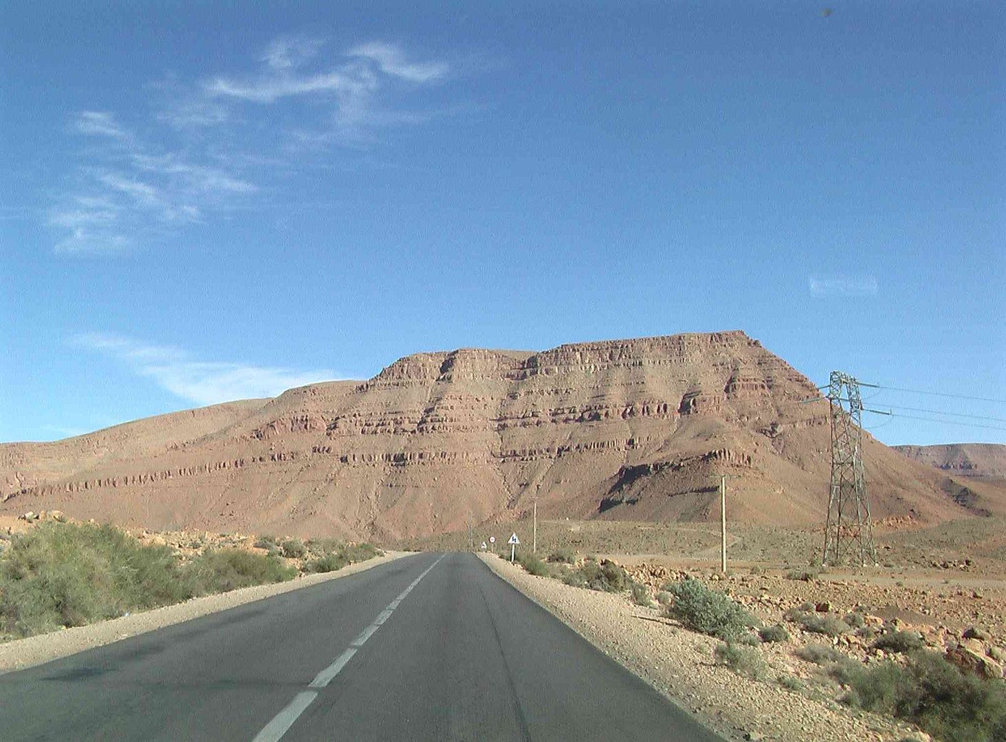
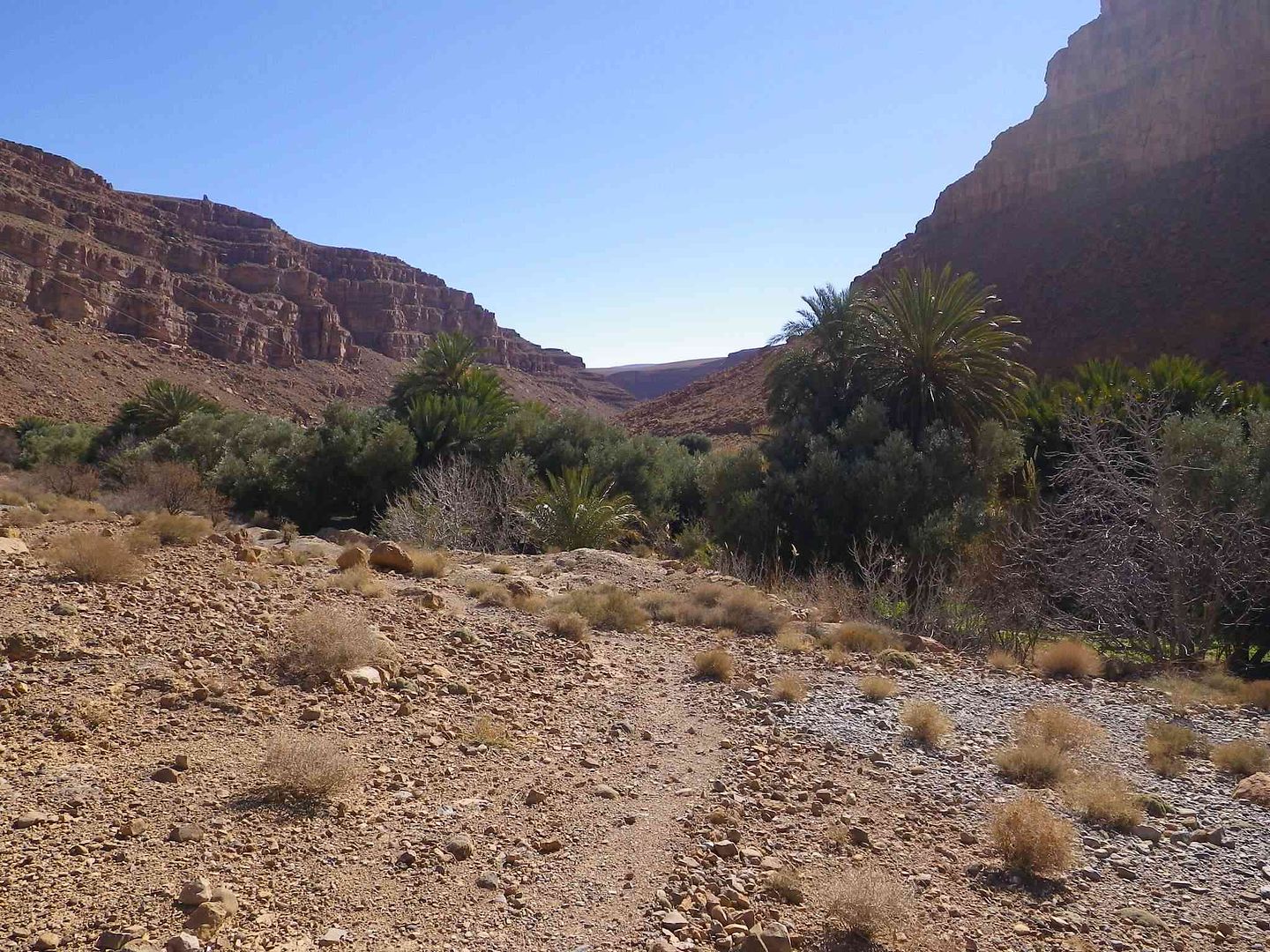
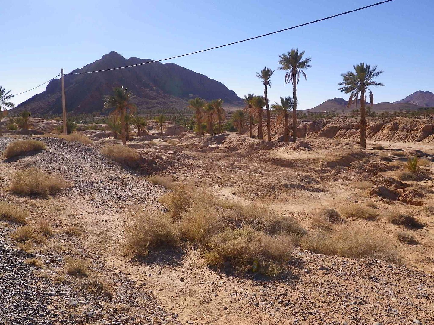
Then passing between the mountains .
We come to the first sign for the Border ..
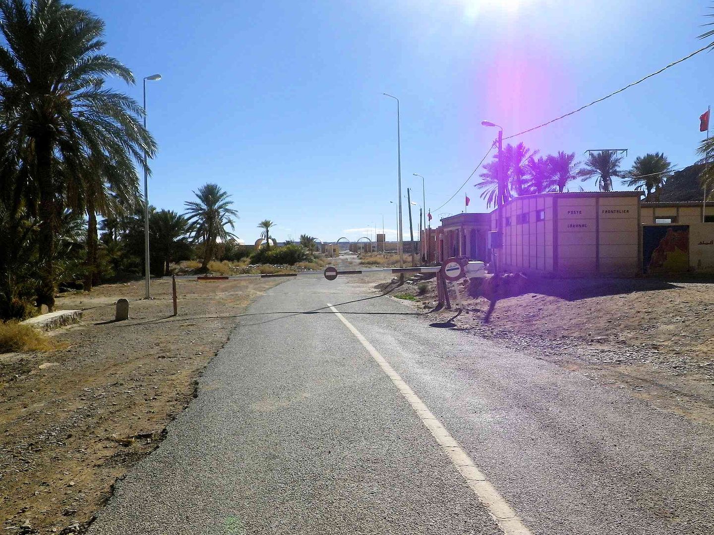
Then the second while the Border is in front .
While here is the Closed Border with the attendant weeds growing in the road .
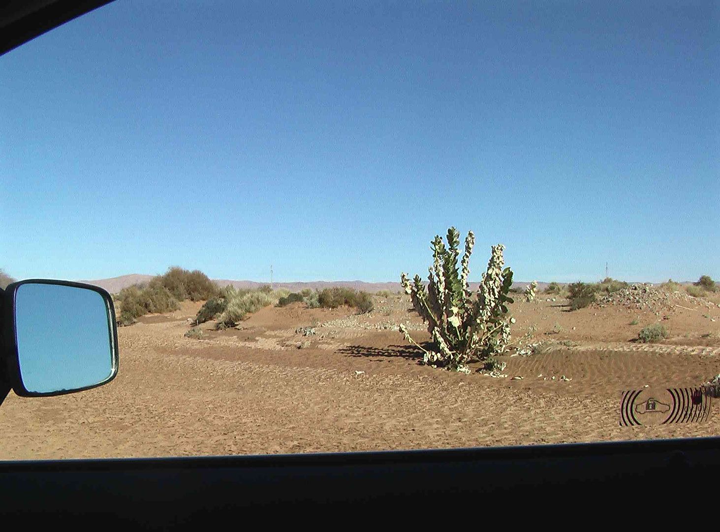
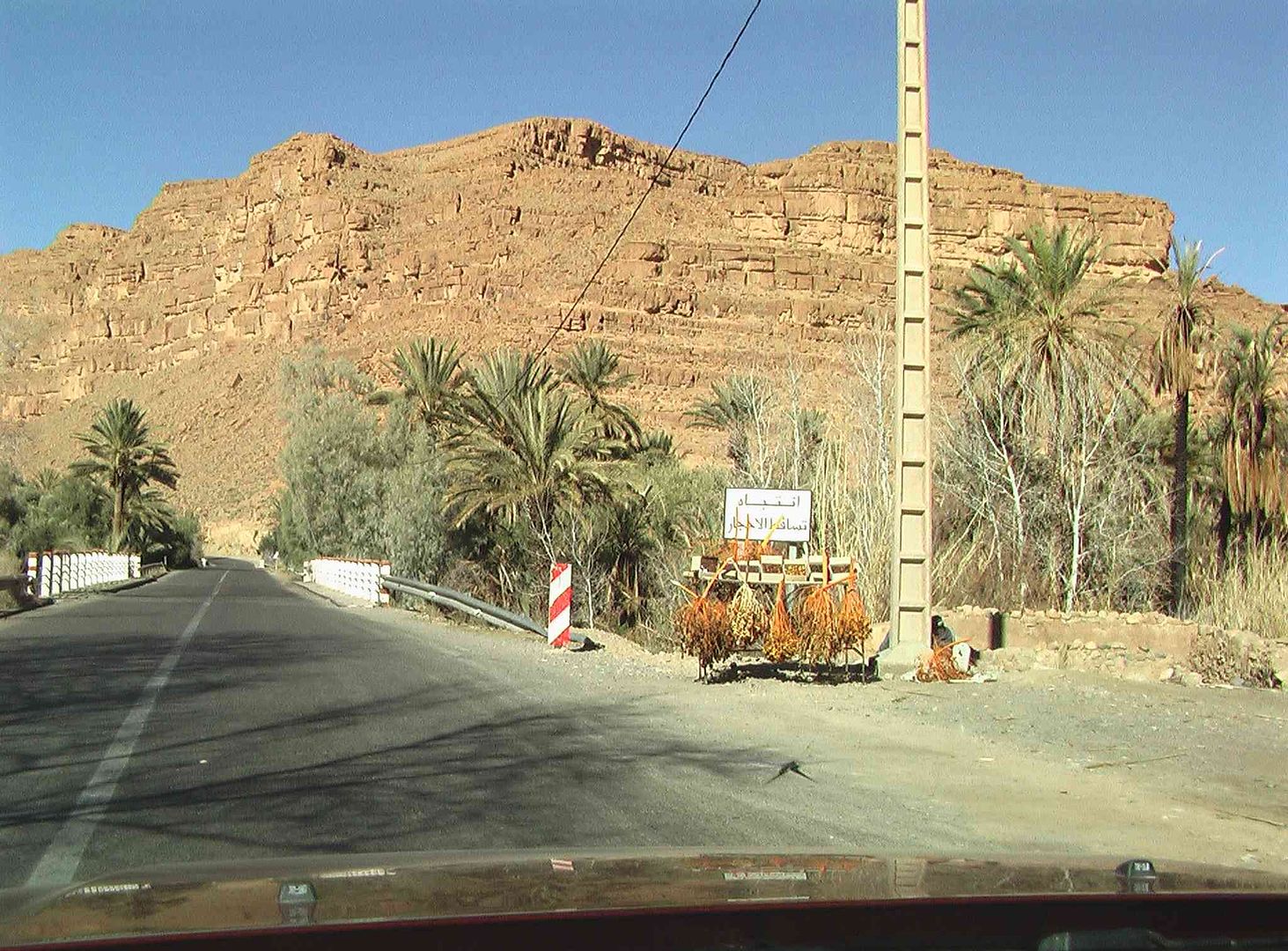
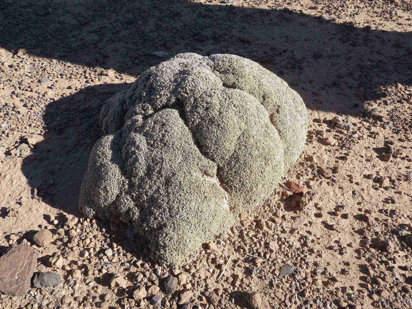
Turned around and heading back we see this small tree in the fields along with many more, and they look like the head of a Cauliflower ..
It is called ..
Channoud (le chou-fleur de Bou Amama
"A vigorous cylindrical shrub, up to 1 meter high, (the ones we are seeing are around 10Cm) it looks like a huge cauliflower.
The branches are very compact with sand in the interstices.
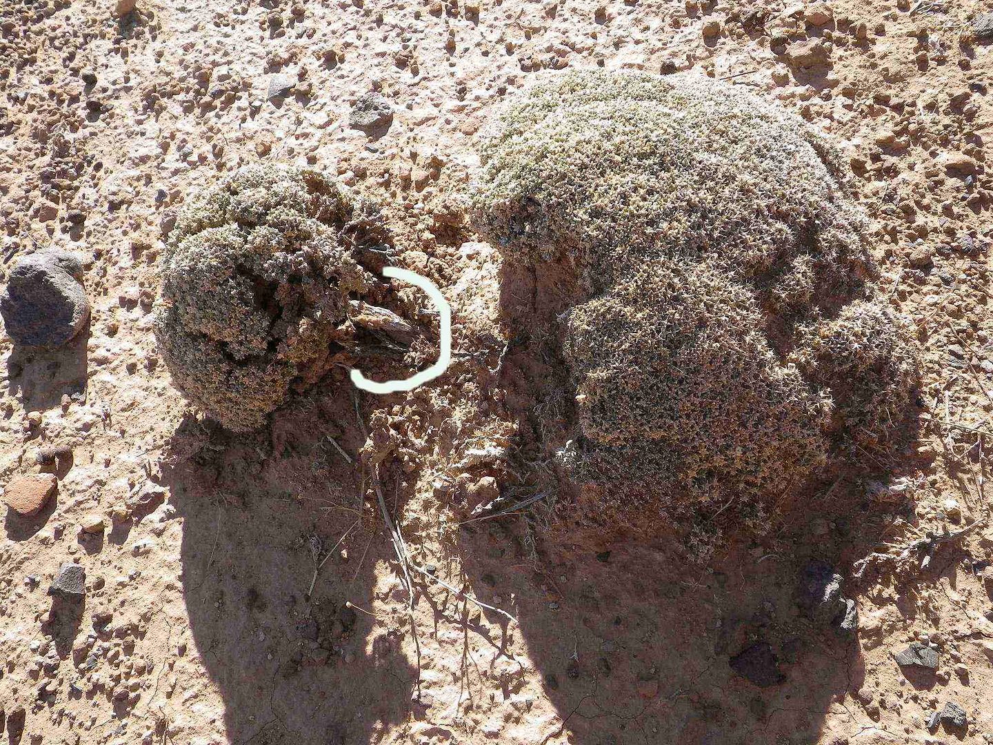
The small fleshy leaves, not exceeding 5 mm., are opposite, very tightly attached to the stems, and blue-green. Each leaf ends in a small spine. There are
2 to 3 small flowers located at the tips of the stems.
The fruit is a small achene surrounded by transparent wings of the evergreen perianth.
Flowering occurs in autumn." (I guess we missed that part!)
The small shrubs trunk has the white part circle around it in the next picture
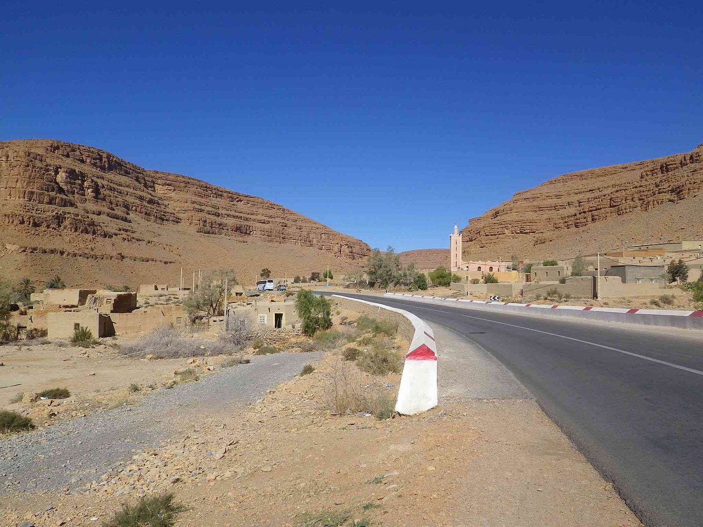
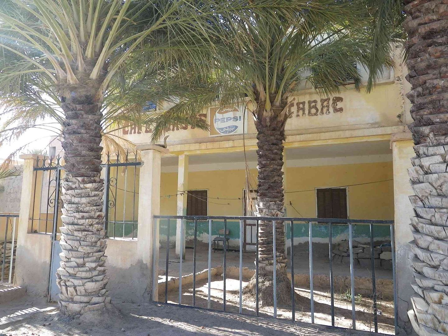
The café with no customers now as this is the first one from the closed border, and a good way from town .
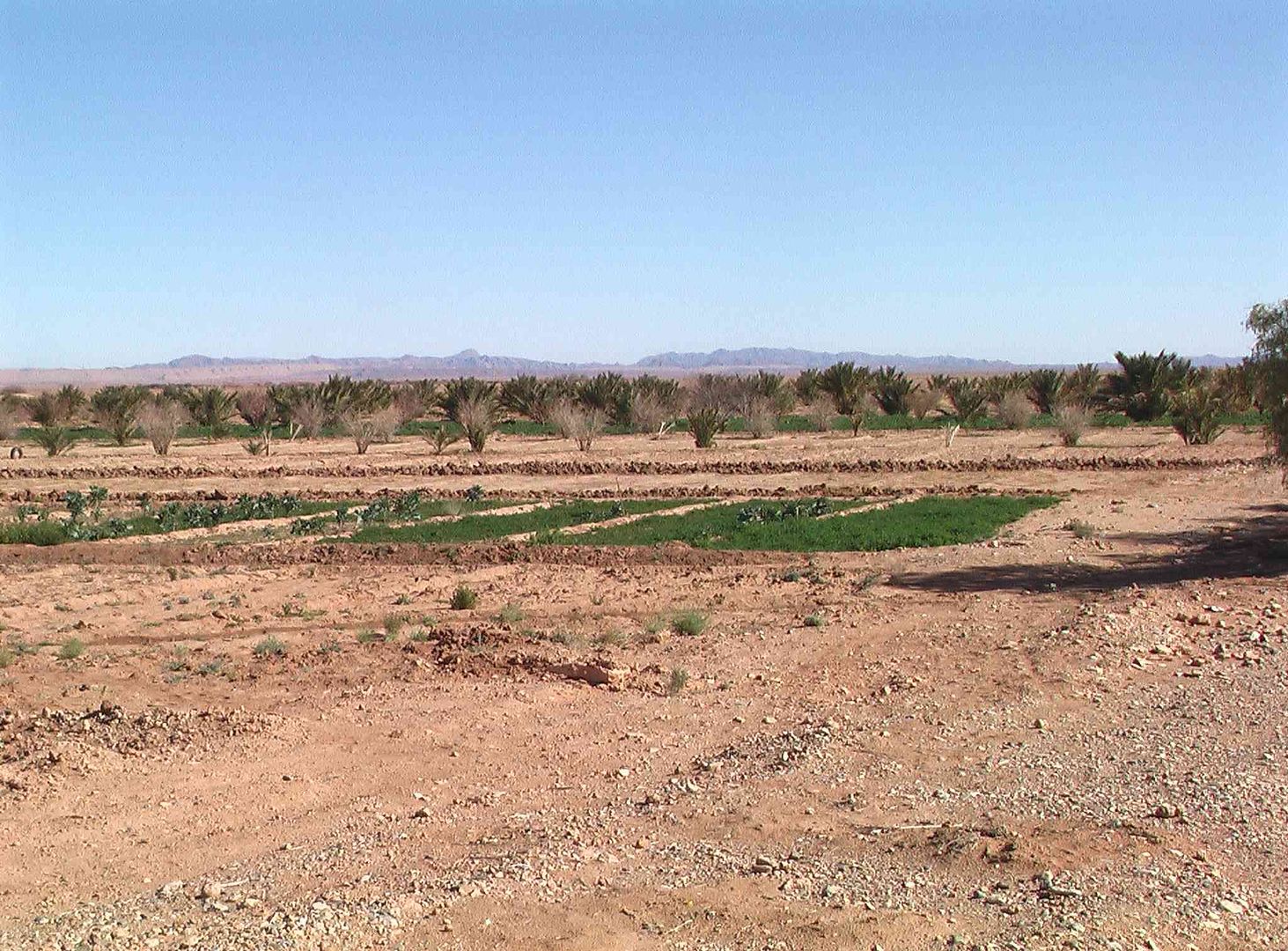
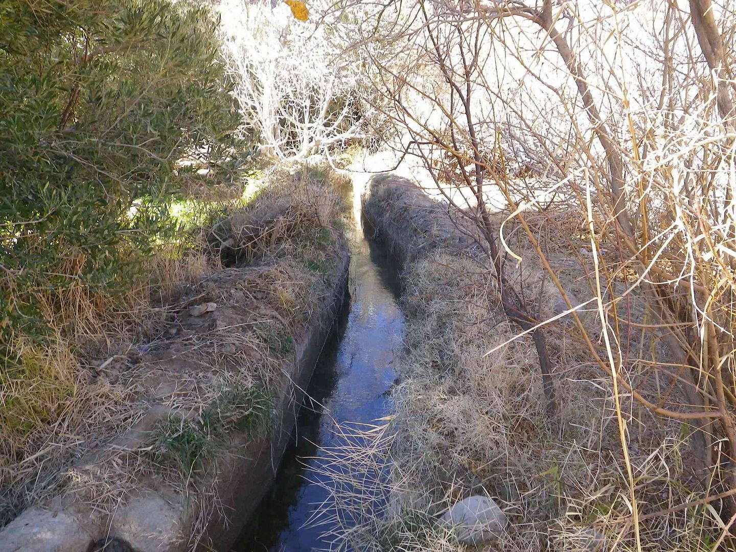
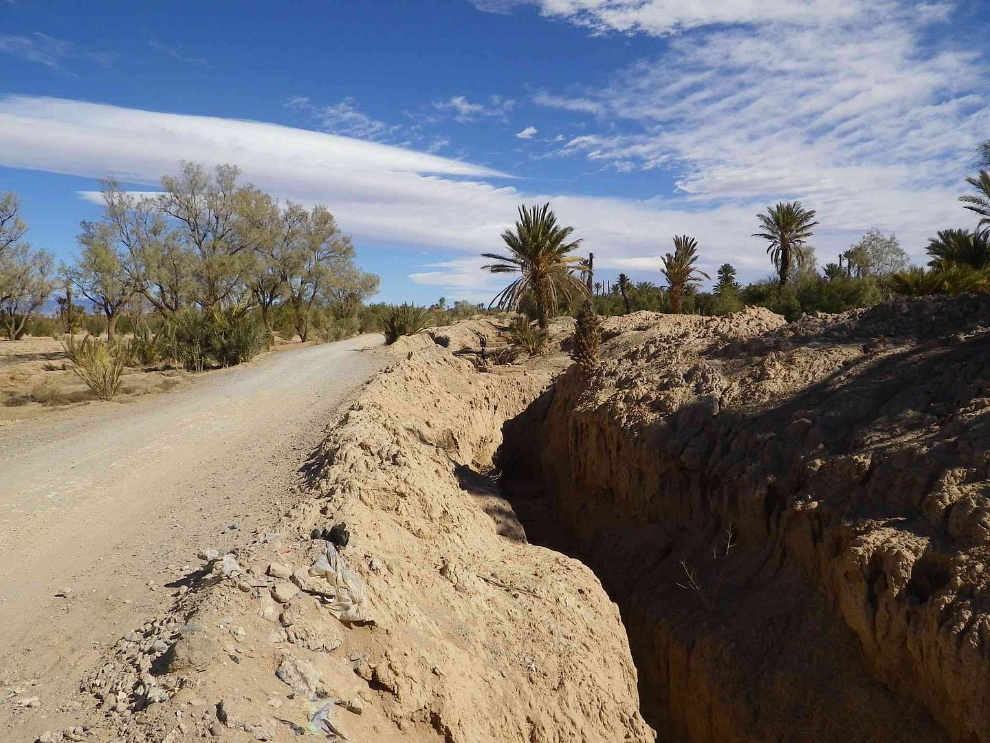
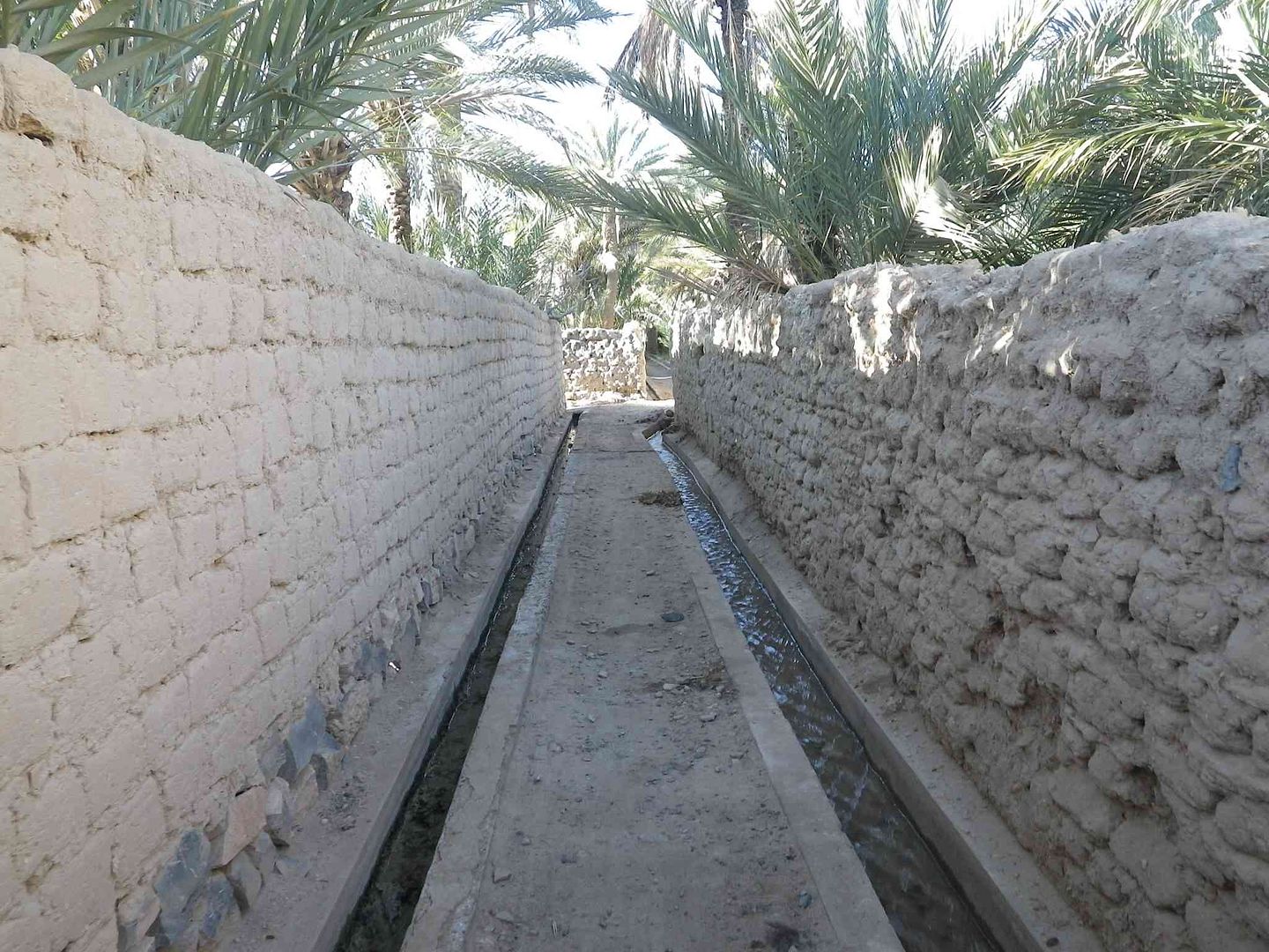
While turning left we enter part of the Palmerie, irrigation canals included ..
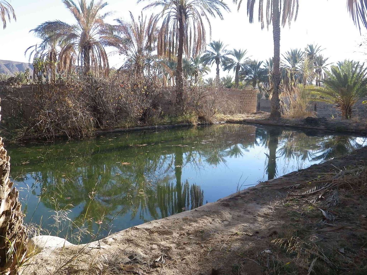
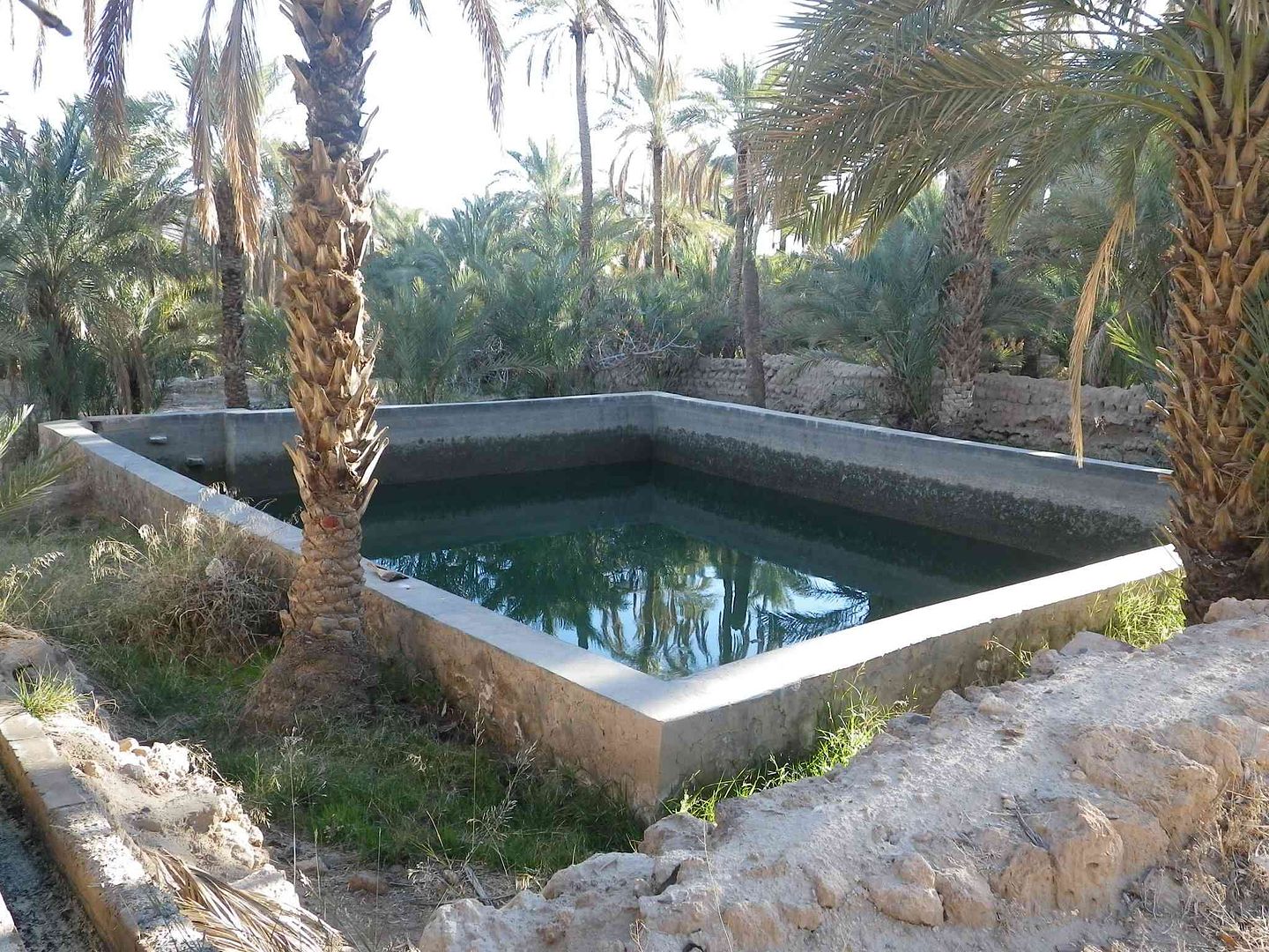
The large water irrigation tanks at various places as we walk back to the Hotel/camping
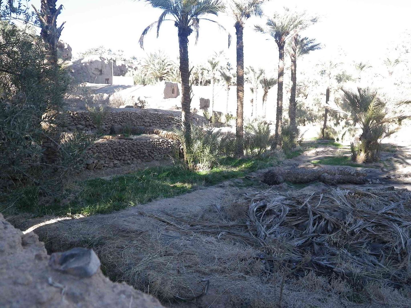
With one last look back as we turn around the final couple of bends in the track before we get back ..
tisbah `ala khair (Arabic Good night)
| home | news | features | forums | product reviews | resources | photos | marketplace | contact |
Results 91 to 100 of 163
Thread: Overland 2013/14 to Morocco
-
01-24-2014, 01:07 PM #91
 Senior Member
- Join Date
- Nov 2009
- Location
- South Wales UK
- Posts
- 1,901

-
01-25-2014, 11:09 AM #92
Senior Member
- Join Date
- Nov 2009
- Location
- South Wales UK
- Posts
- 1,901
Stage 29B A second day around Figuig
Salam Alikam
Just before we set off to go into town yesterday shopping, we had a visit from a Moroccan Registered Guide who offered us a Tour of the Palmerie and a meal at his house while yesterday evening we could go and see a Moroccan Marriage for which no payment was required.
We needed to be ready by 21:00 which seemed a bit late.
At 18:30 there was a knock at the door and the Guide stood outside advising us that a Taxi was waiting to take us to the Moroccan Marriage, except that as we very quickly got ready to set off, we find that as well as us 4 the Guide had quickly got another couple who had just arrived at the campsite to join us.
The Taxi had 5 Seats including the driver, and was not the usual Antique Mercedes but a Peugeot Estate and looked like a Private Car.
The trunk/boot is full of items and the front passenger well is full of what looks like empty plastic bottles and other items.
The Guide then tells us to Get in and he is coming with us!!!
So after a frank and fair exchange of words with the Guide and instead of trying to get my name in the Guiness Book of World Records by fitting 6 Adults across the back seat, with no seat belts, travelling at night on Moroccan roads, we declined that trip as well as the one the following morning around the Palmerie, as at that point we felt more comfortable in doing it ourselves
.
and instead of trying to get my name in the Guiness Book of World Records by fitting 6 Adults across the back seat, with no seat belts, travelling at night on Moroccan roads, we declined that trip as well as the one the following morning around the Palmerie, as at that point we felt more comfortable in doing it ourselves
.
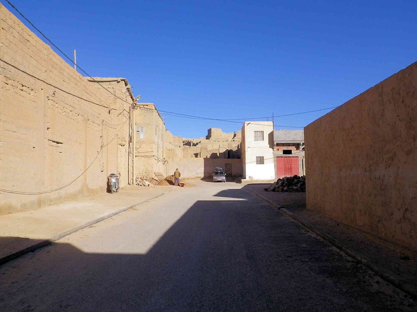
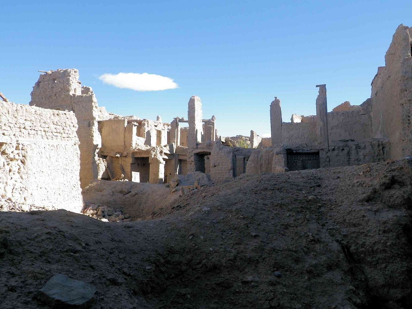
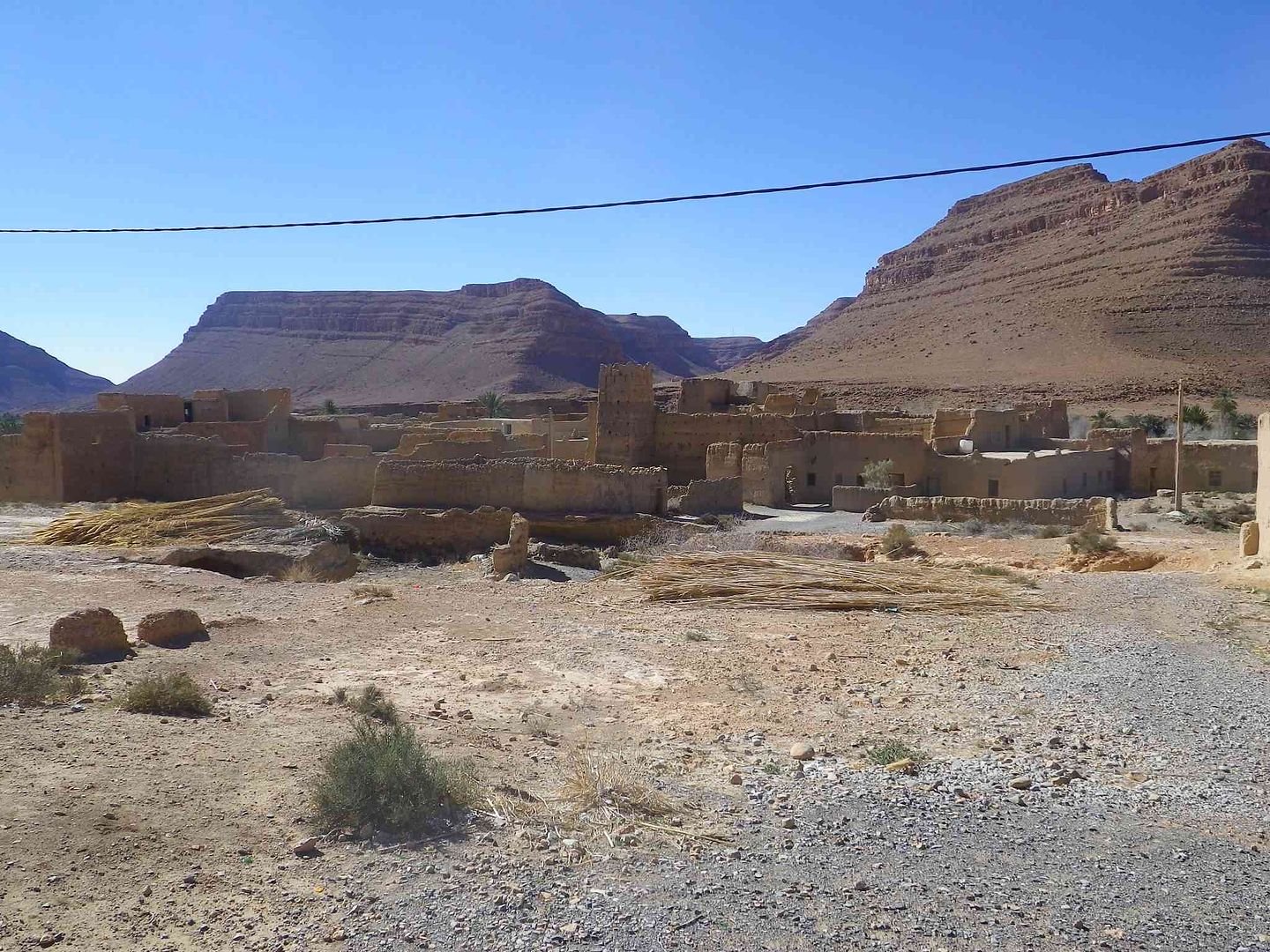
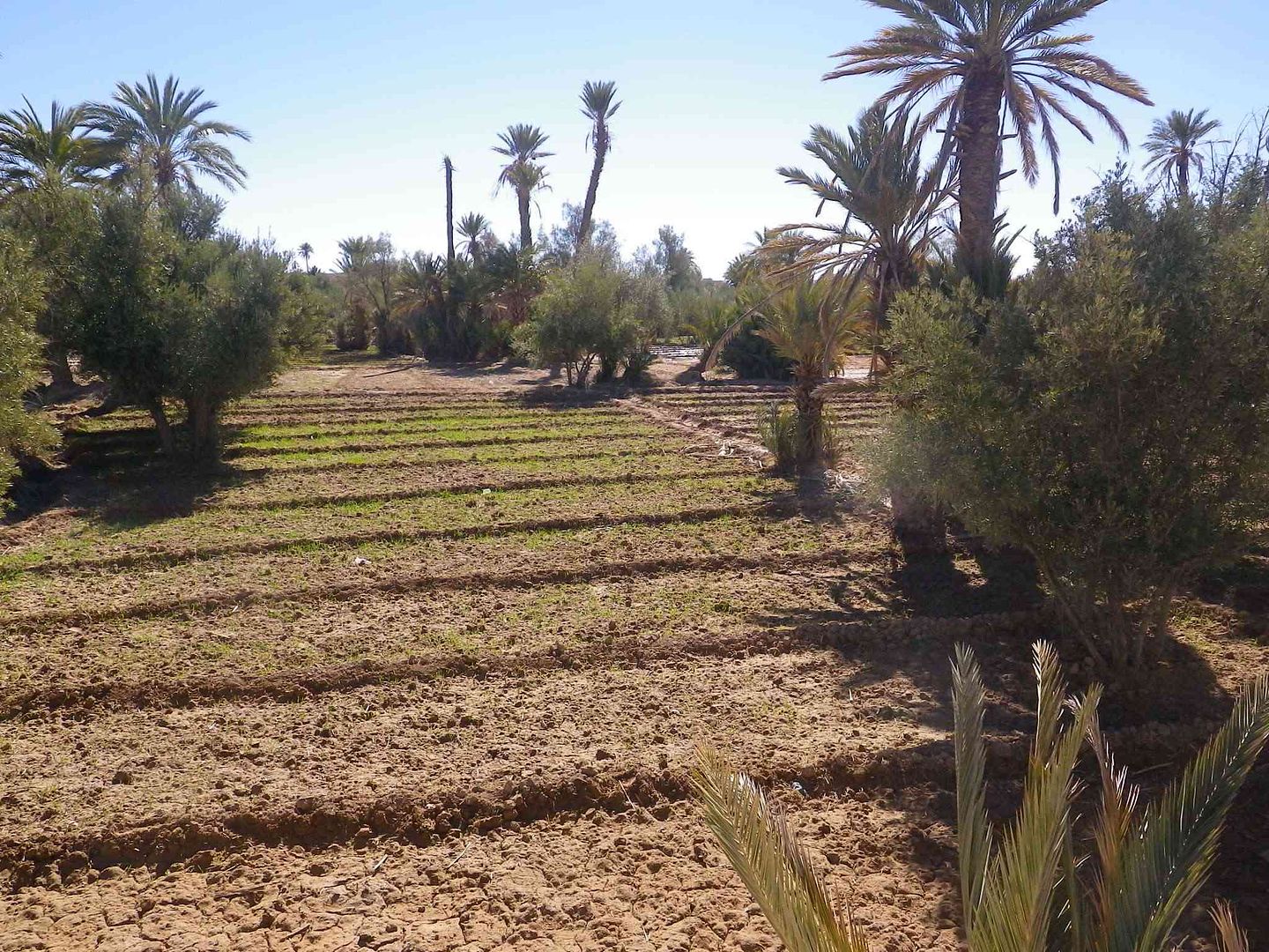
So at 09:30 the following morning we set off by ourselves to go and have a look at Ksar Lamaiz and the Palmerie close by it ..
If you need your Hot Water Boiler sorting out then this is the place to bring it as they can completely rebuild it in this workshop, but only if its wood fired!...
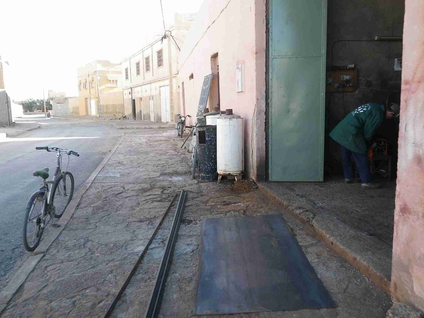
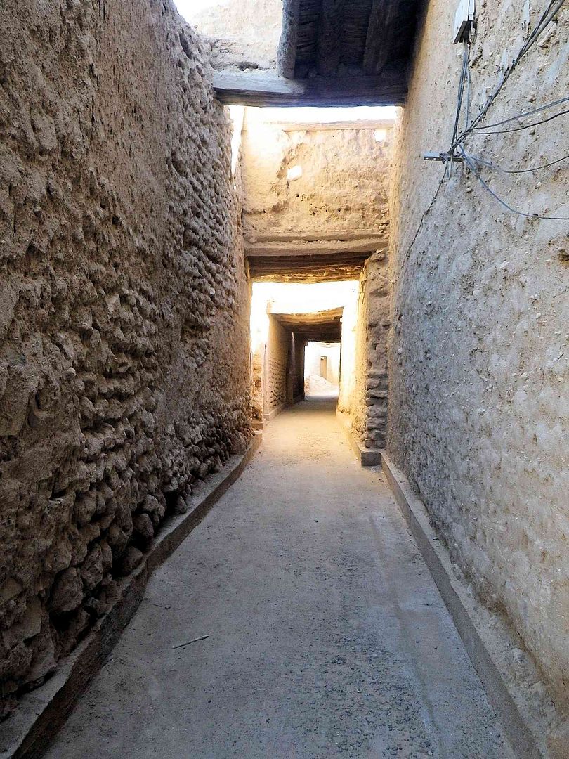
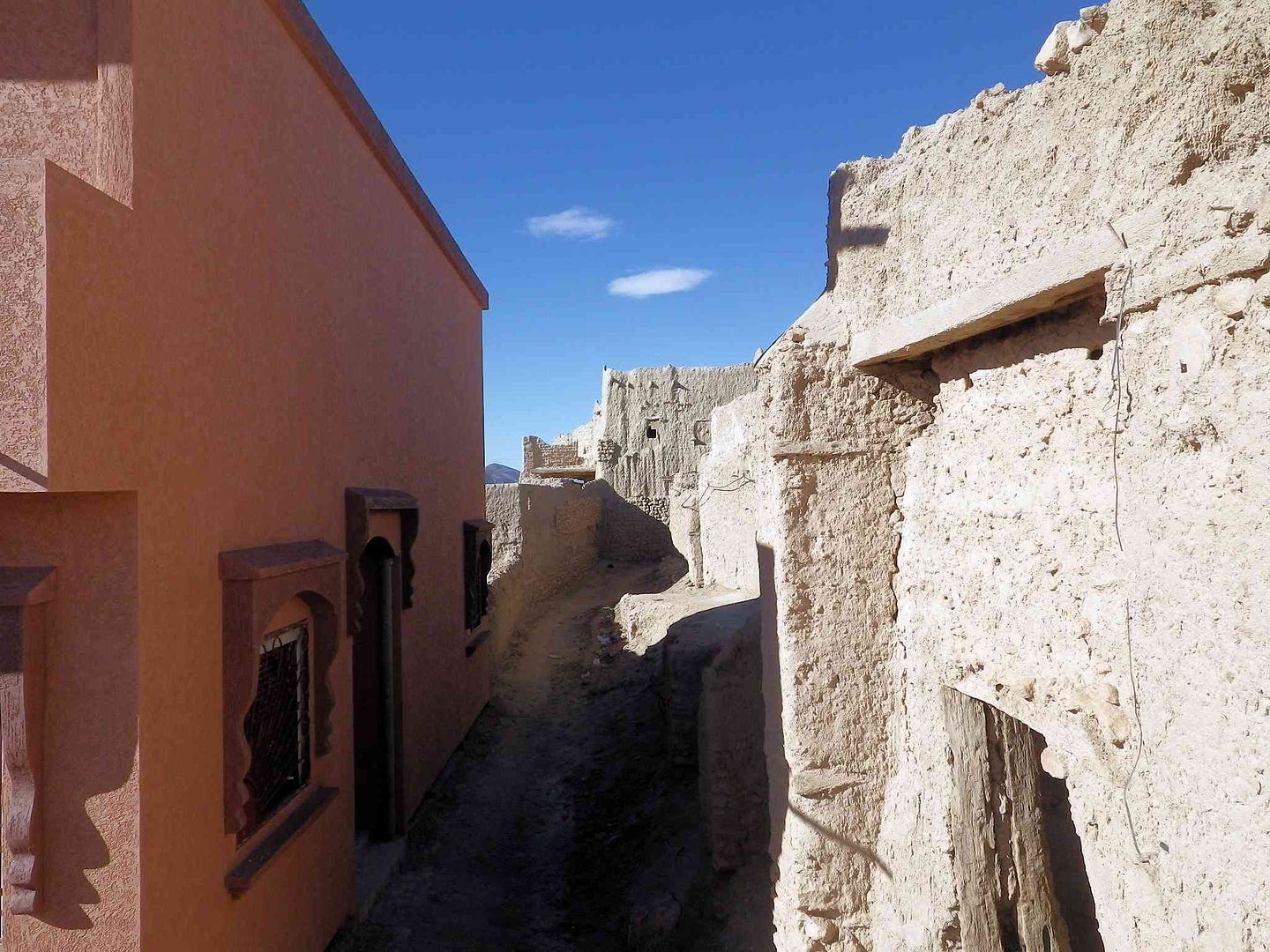
Shadows and strange shapes as we look down the alleyway ..
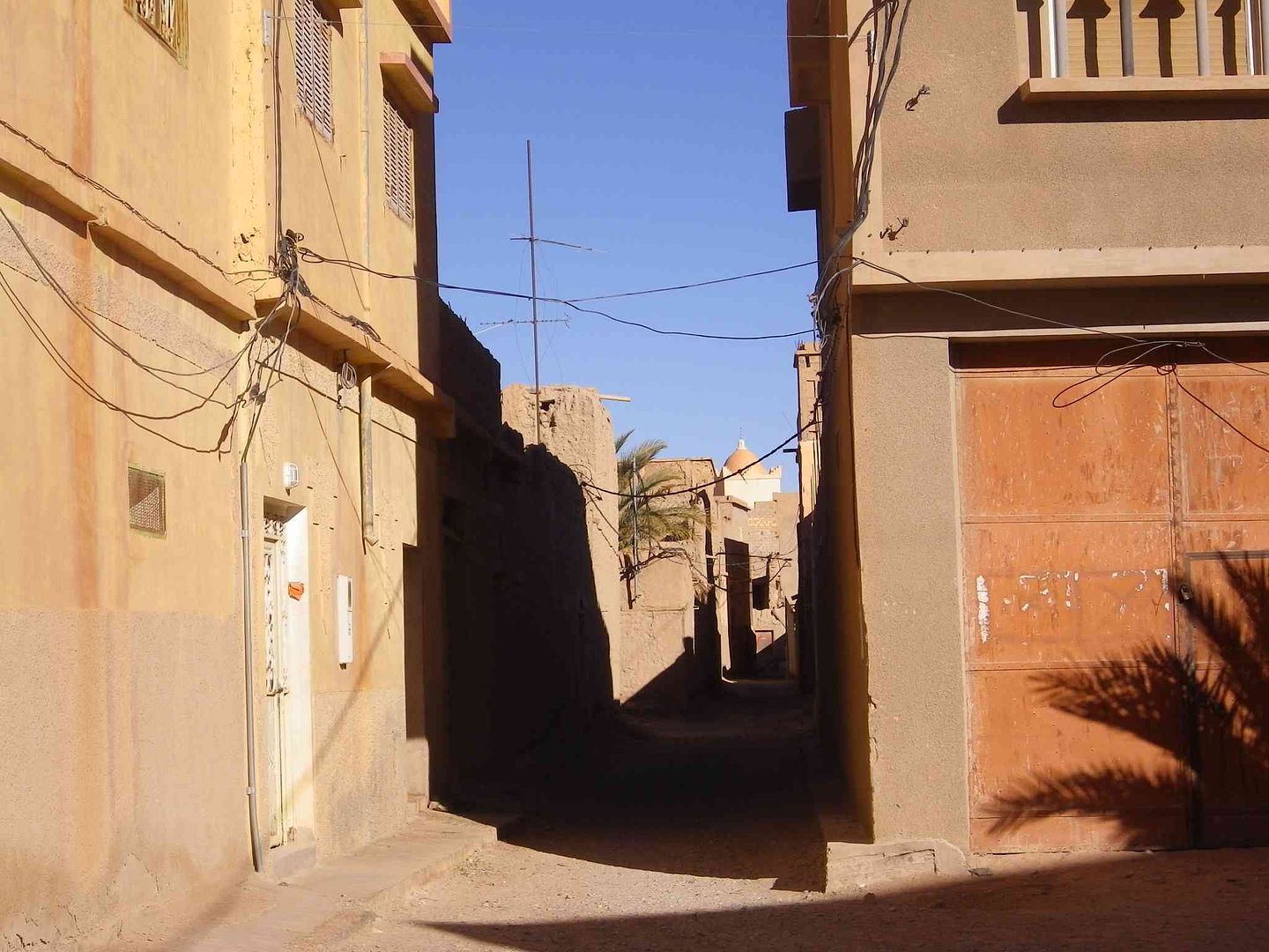
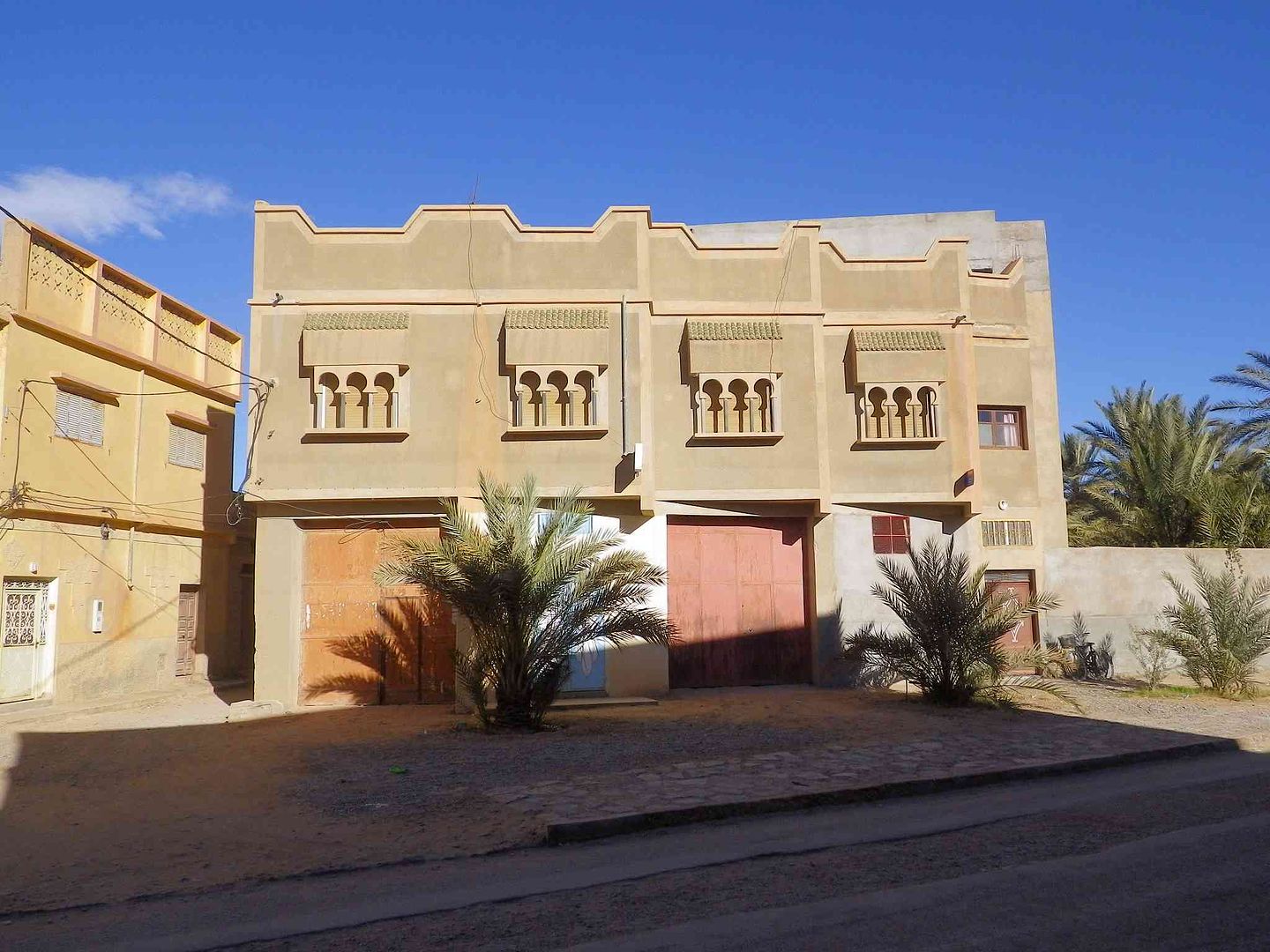
Nice new house above a shop/workshop ..
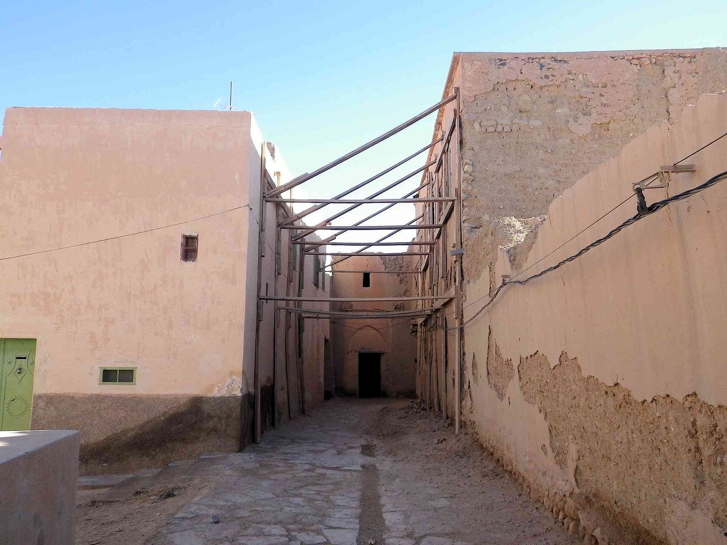
Turning left we come into the old part of the Ksar .
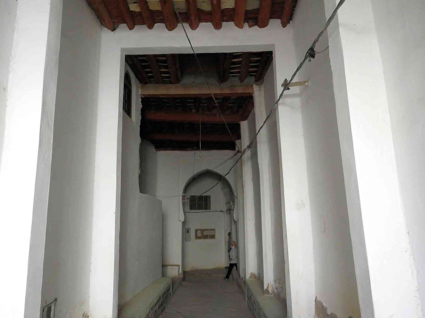
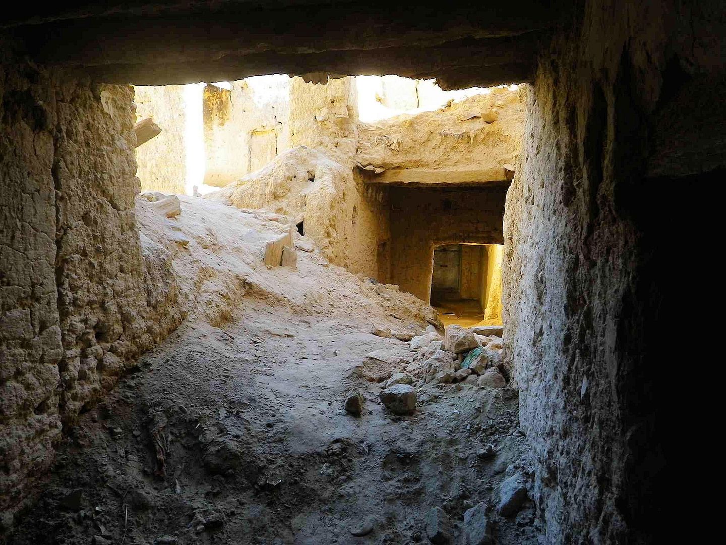
Then turn left again through the entrance and under a dodgy roof ..
With some of the rooms still visible in the old buildings ..


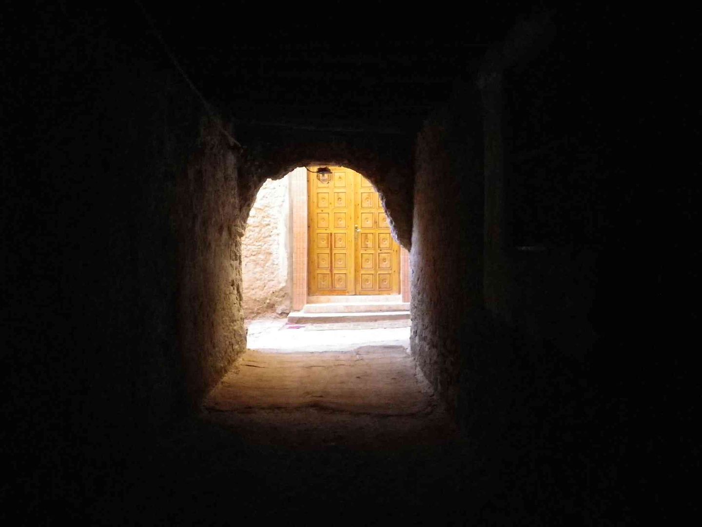
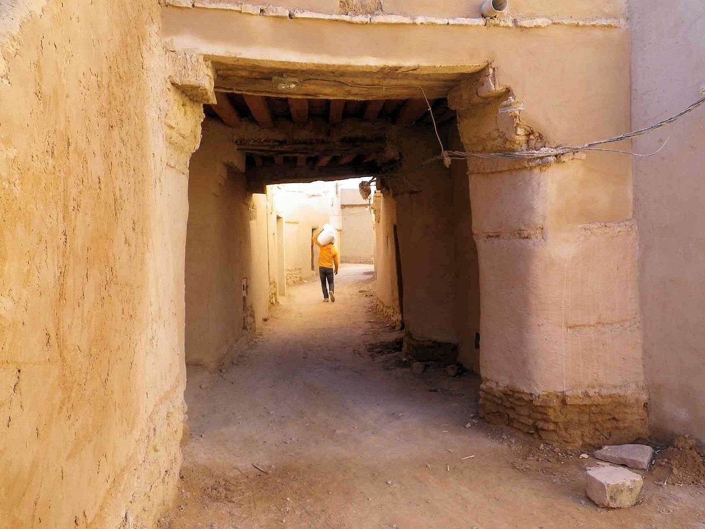
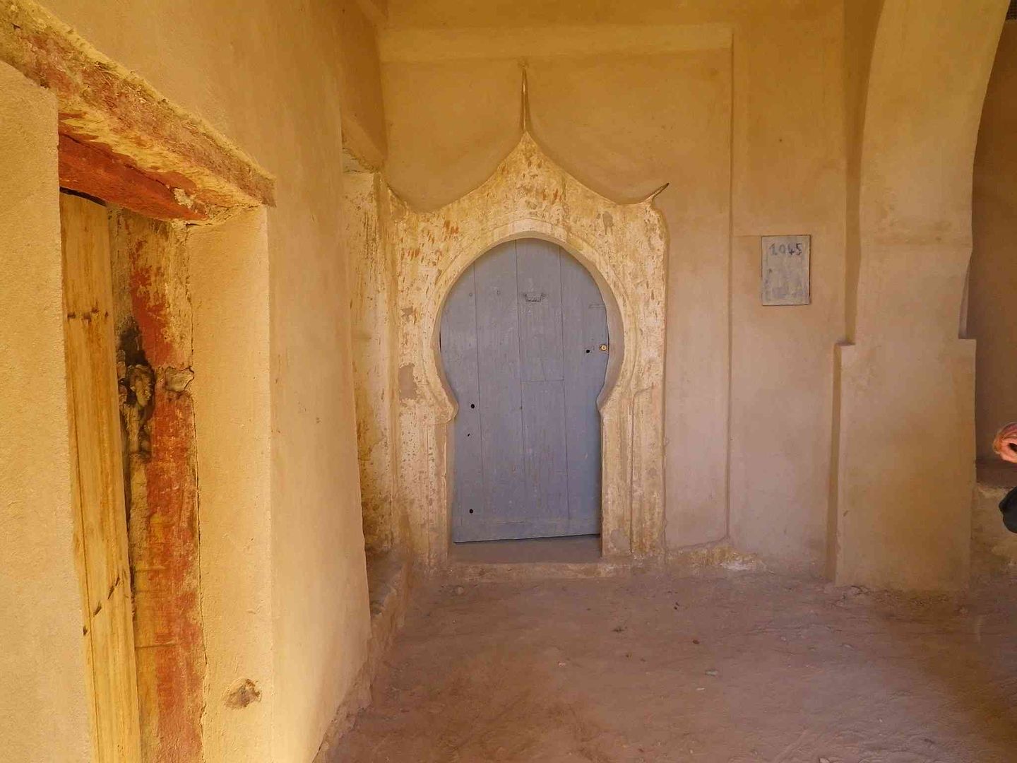
Tunnel leading to a rather nice and modern door. .
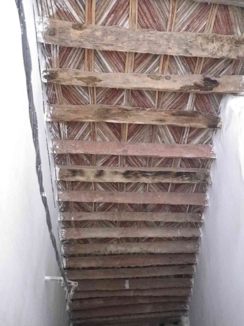
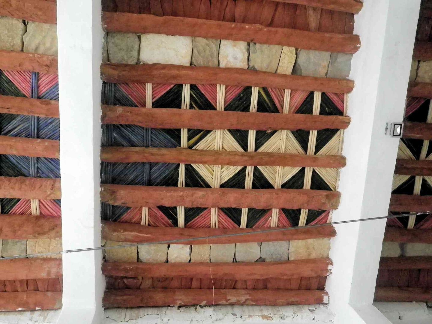
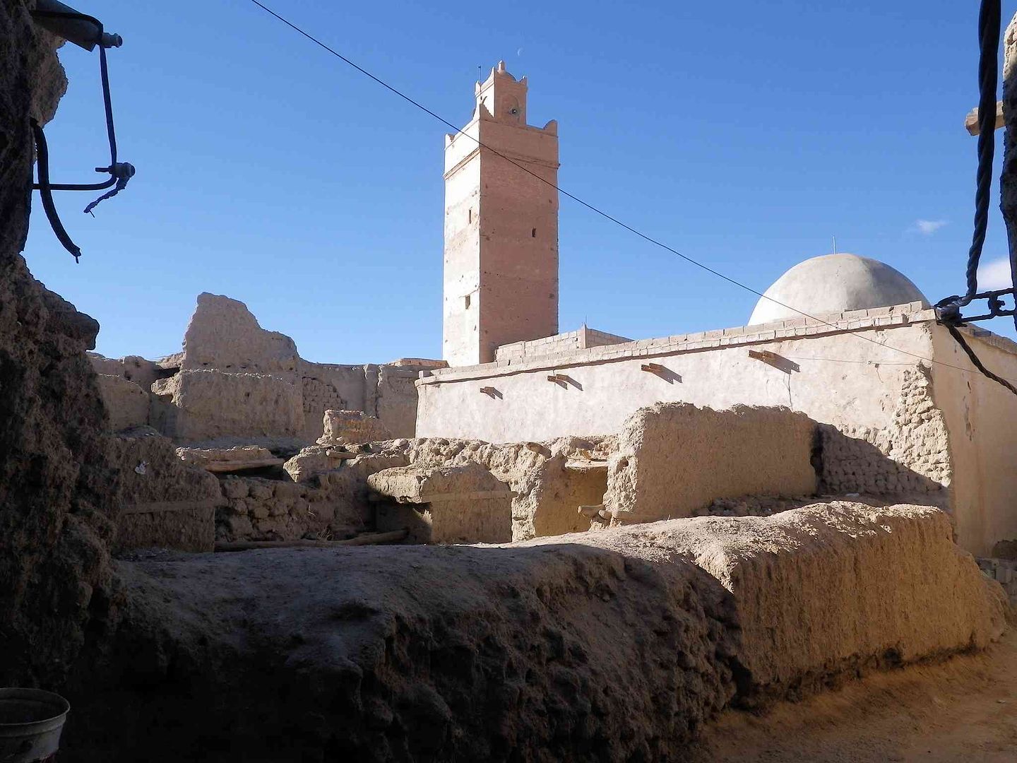
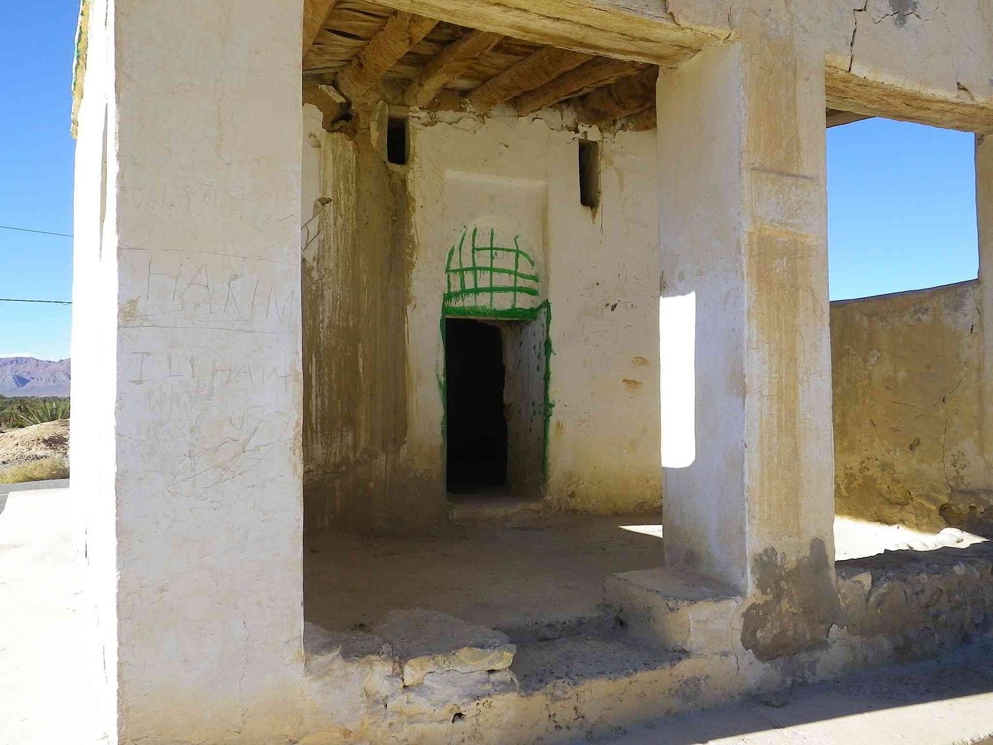
While we came into an area with white painted walls, we didnt realise we were so close to the Mosque, then we looked up and saw the roof with the Bamboo pieces lying on the Palm Tree Beams ....
Small entrance door in the side wall of the Mosque .
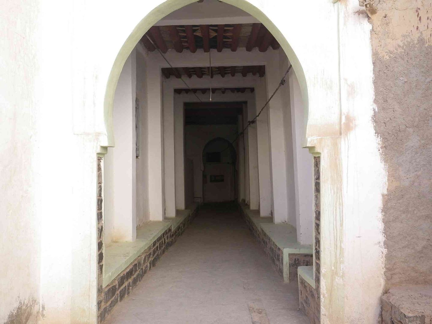
Turn left down another corridor ..
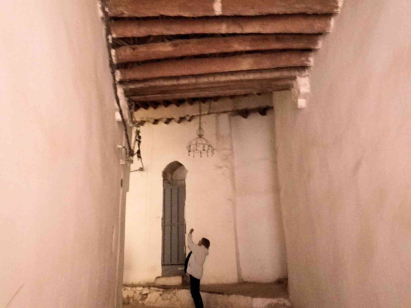
While this is the ceiling of the corridor at the main entrance
This is the corridor
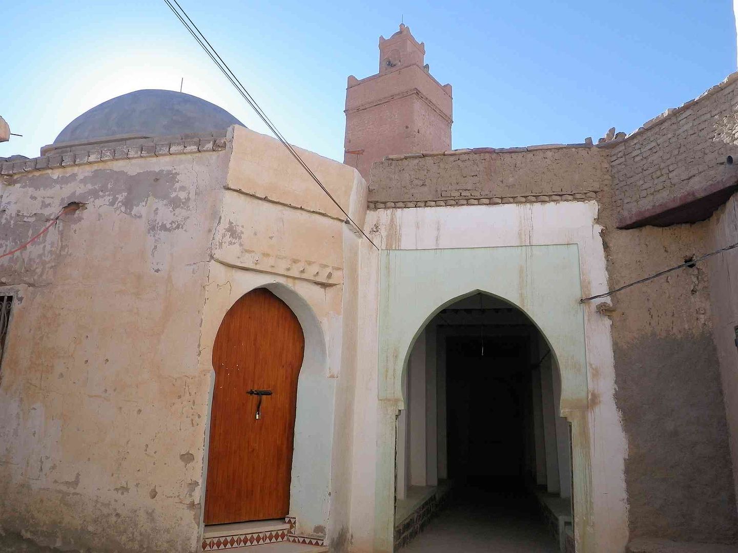
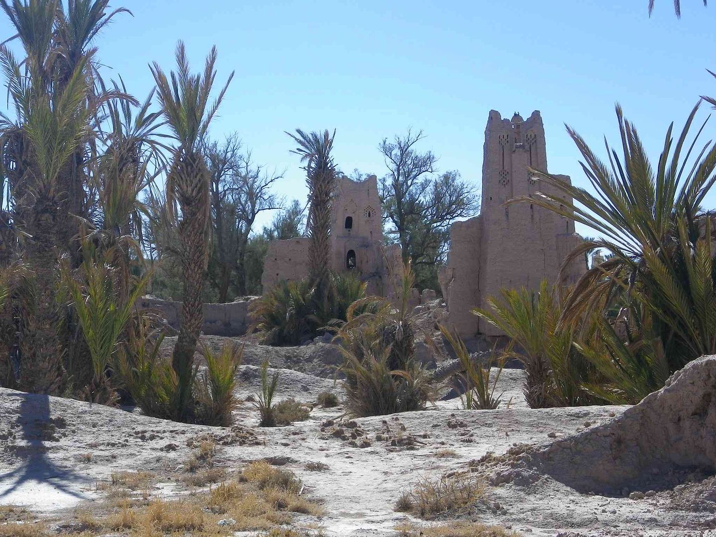
Then as we come outside we see the Mosque itself .
While another passageway takes us further into the old section of the Ksar .
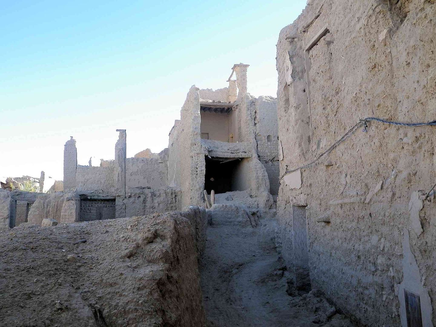
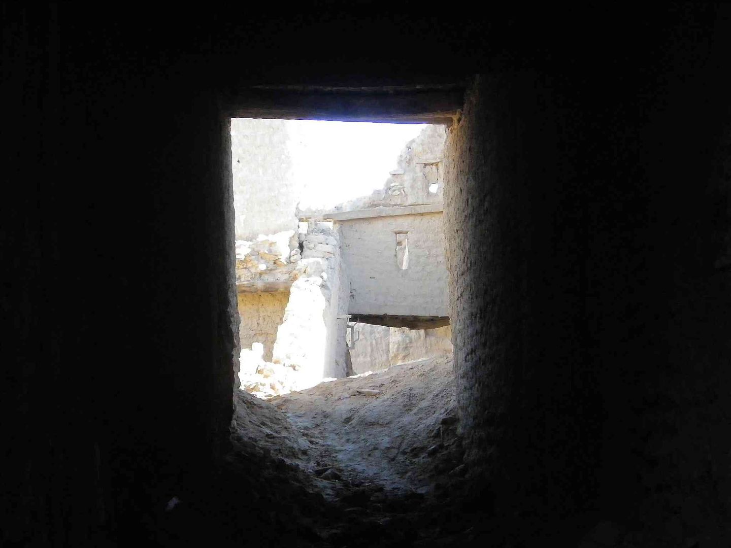
While this passageway leads to the outside ..
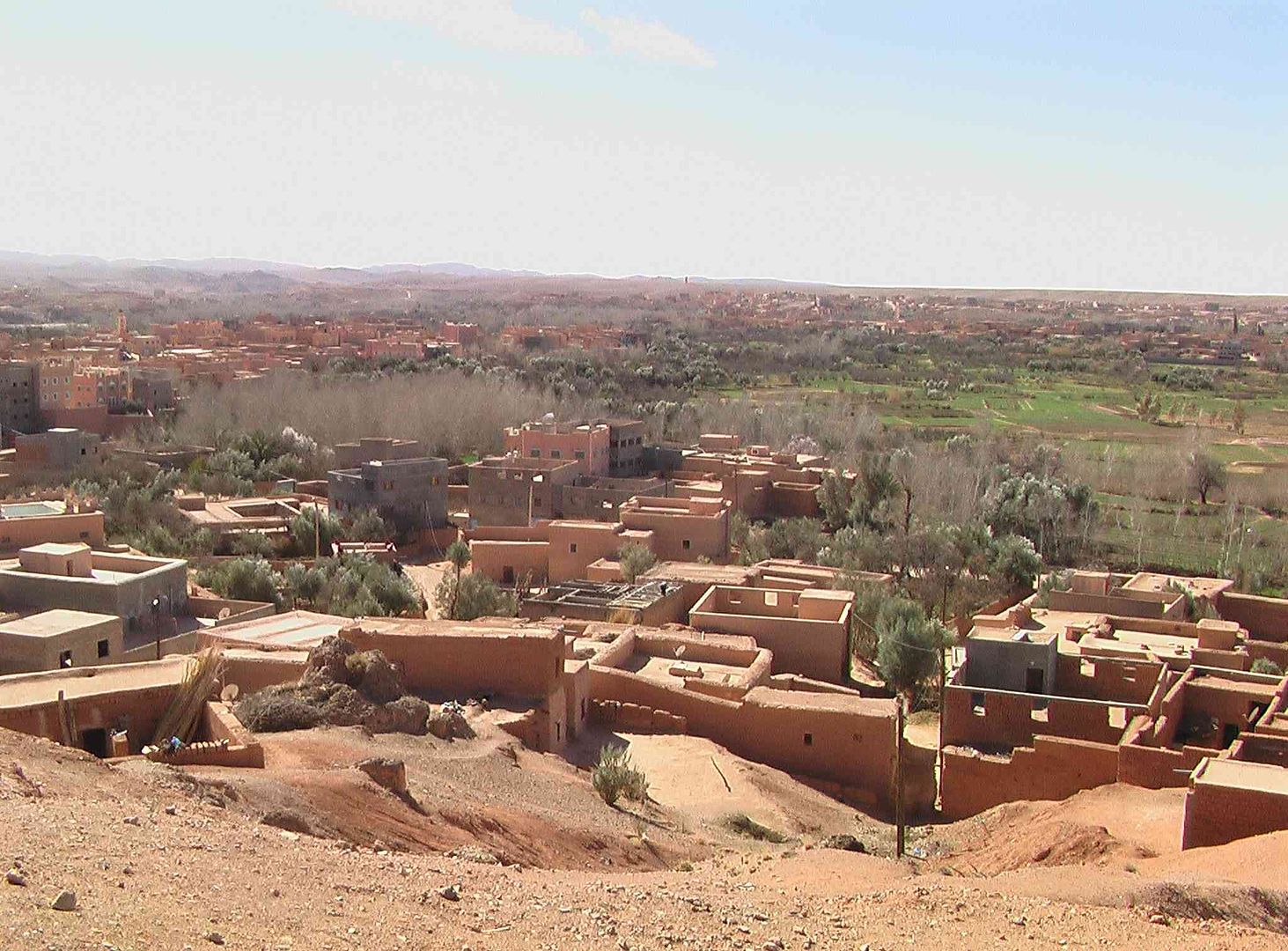
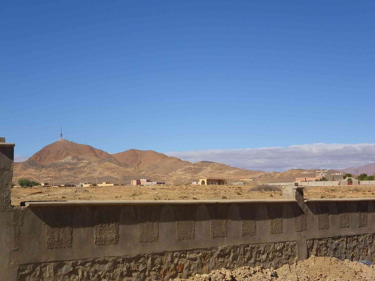
Where we are able to look over the adjacent Palmerie ..
While climbing up a bit we get a 180 Degree view in the next 3 pictures .
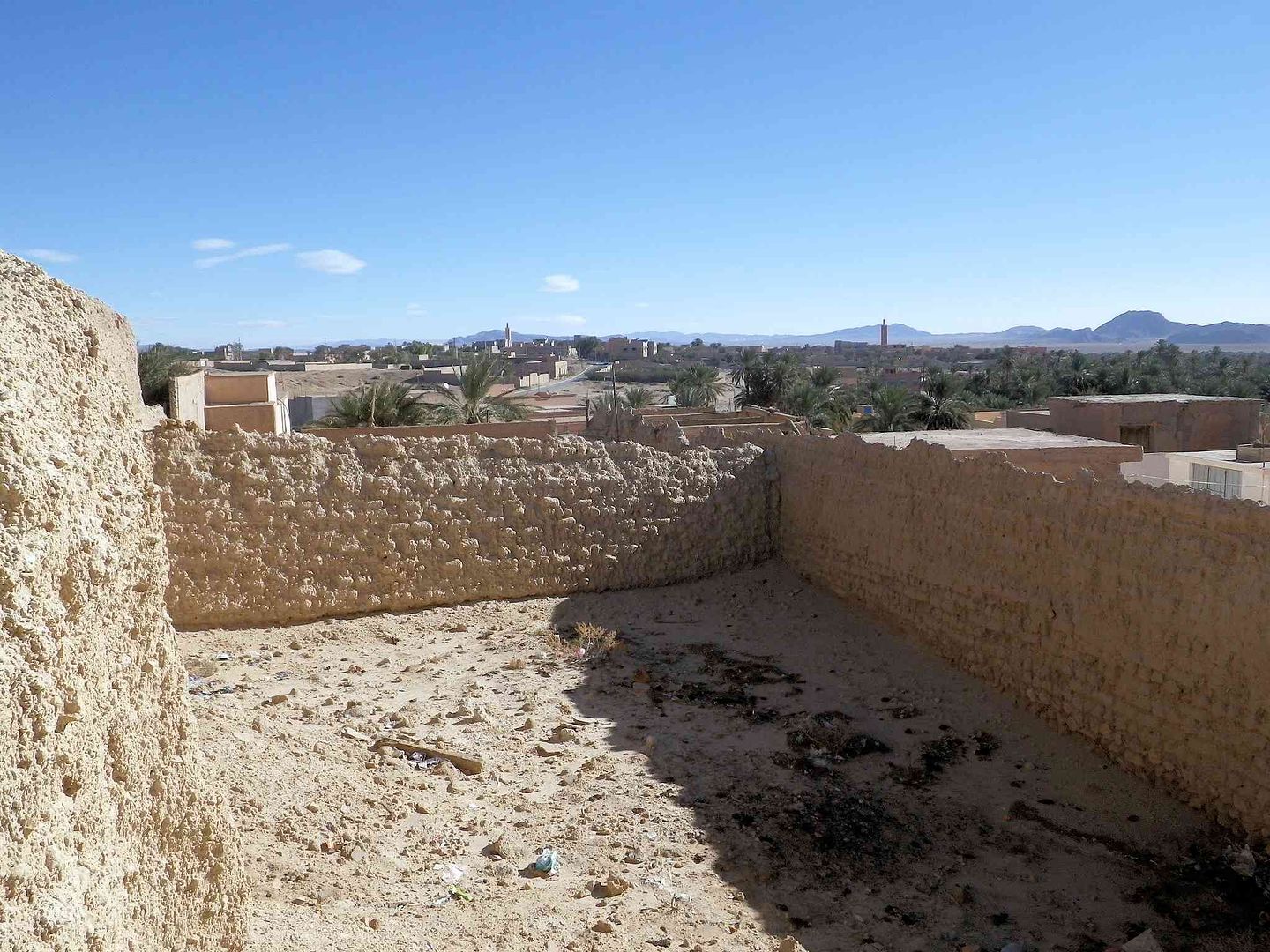
With a final look back to the old section .
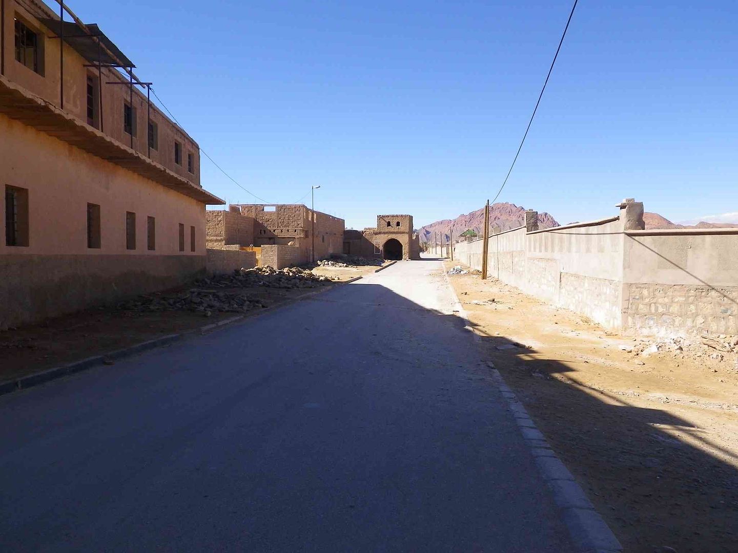
We then enter part of the newer section only to find that the wall needs shoreing up!...
As we get out to the main road the wind cuts through us like a knife and it is cold even though we have a nice blue sky .
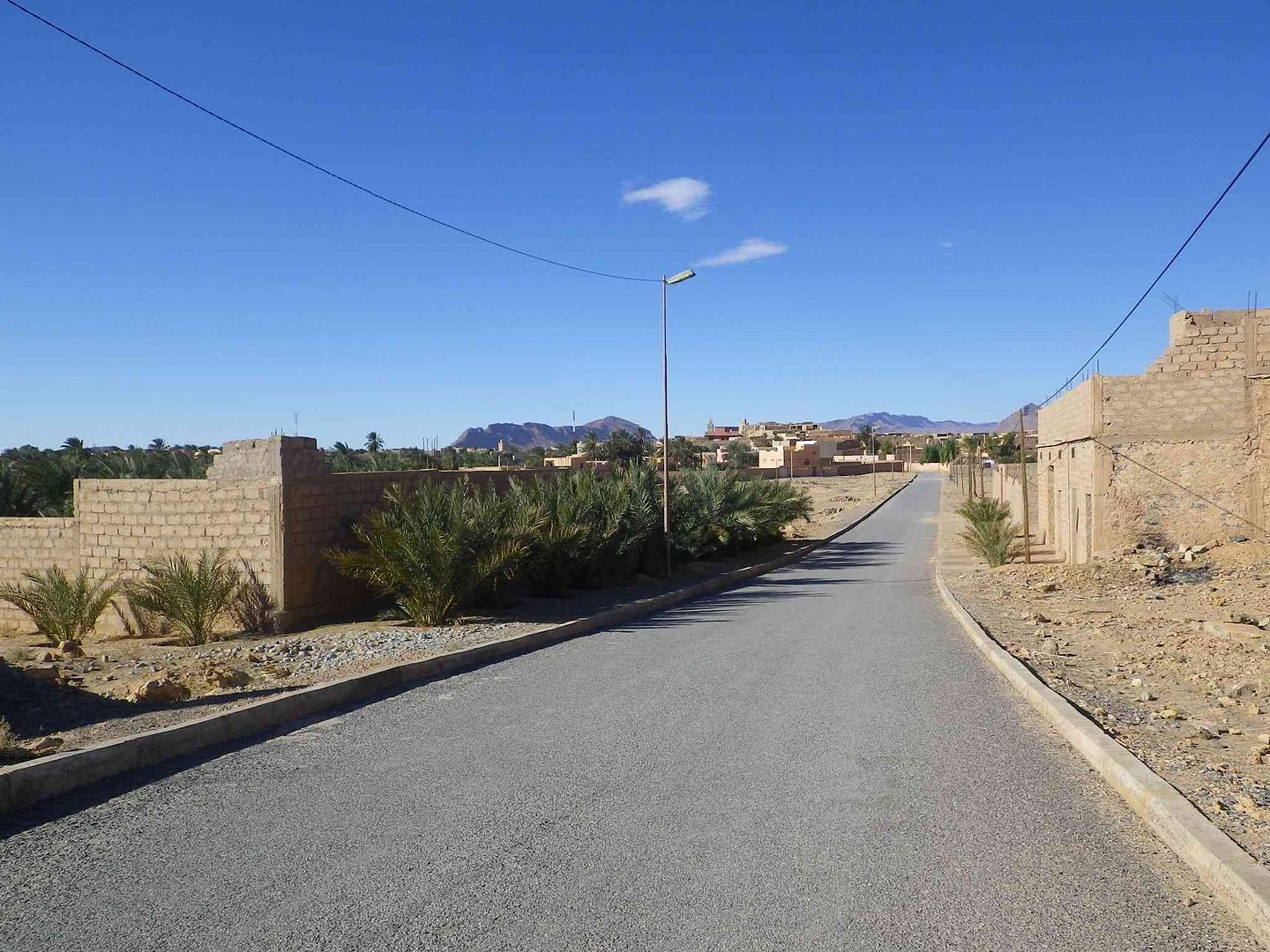
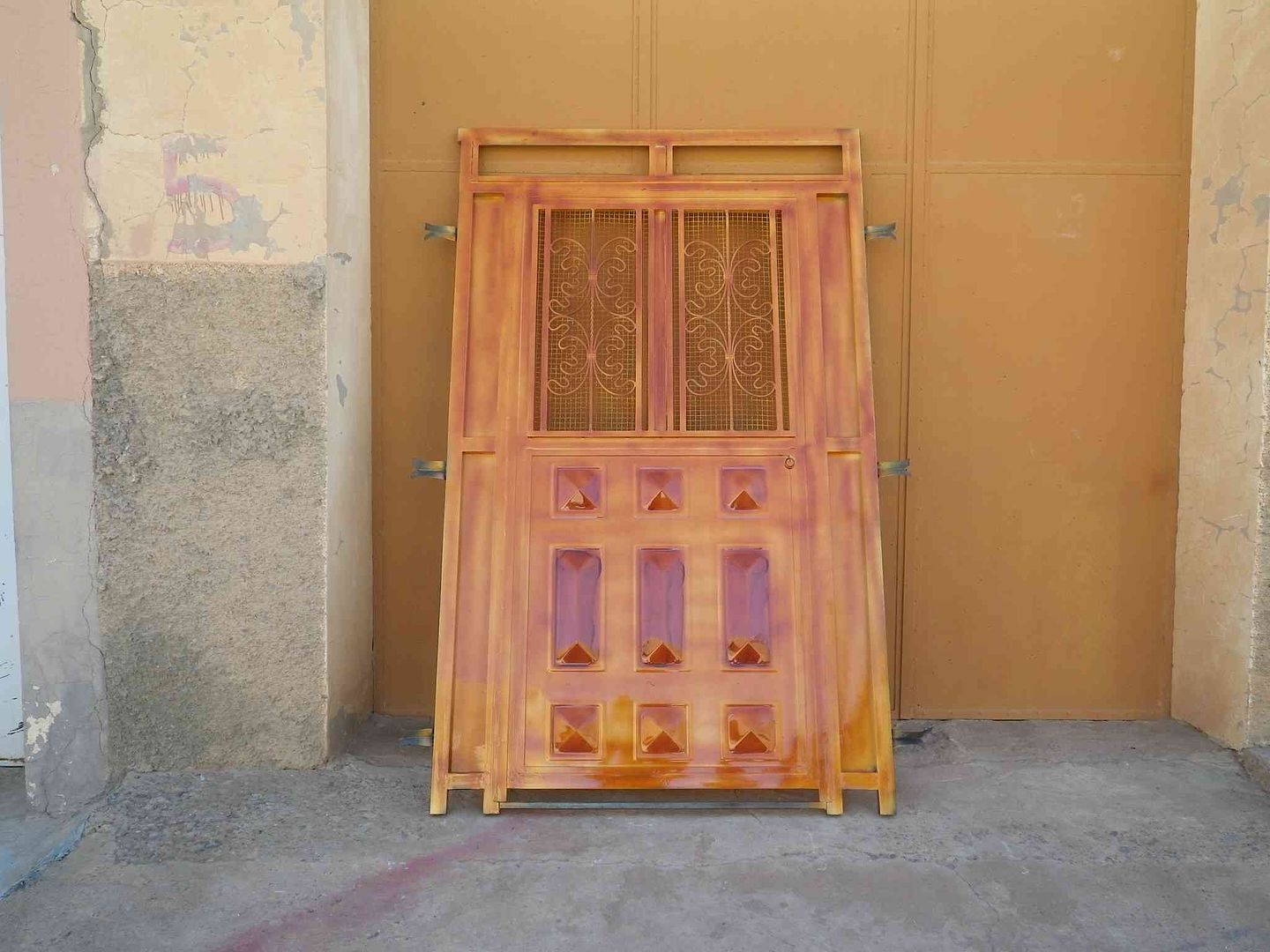
So we start to head back and pass this small workshop that makes Metal Doors .
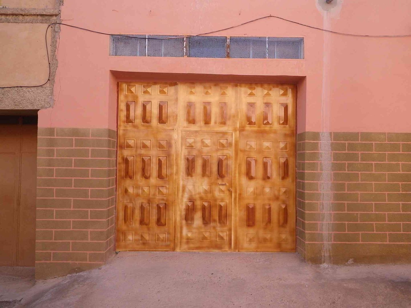
With an example next door of one that has been fitted .
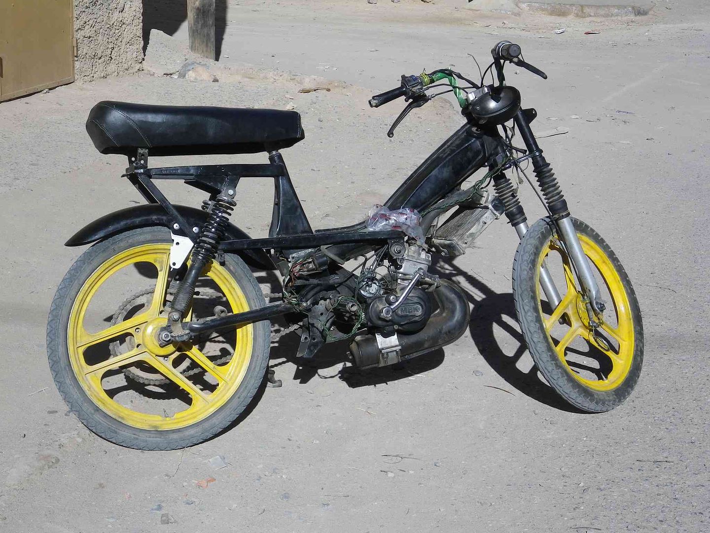
As the Scooter shop opens up the owner wheels out this Water Cooled 50cc souped up Moped that reputedly goes exceedingly fast!. ....
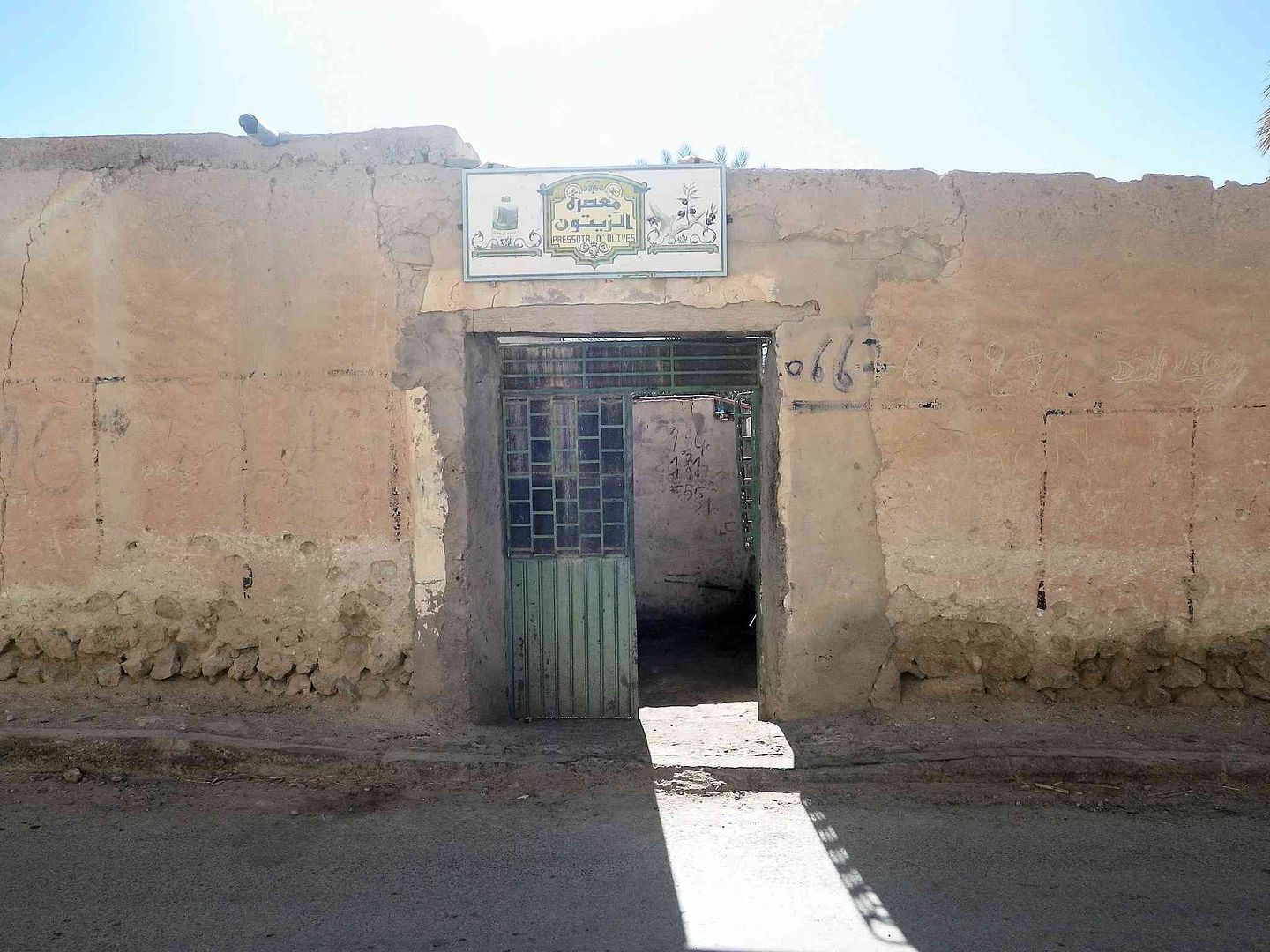
Our final stop was at the Olive Pressing Shop, but the owner had just left to make a delivery of a batch of Olive Oil that had been pressed from a growers harvest.. .
So we continued to find a Café and then made our way back to the Hotel/campsite .
Tomorrow its time to leave the 200,000+ Palm Trees here in Figuig and go back along the one and only road to Bouarfa .
tisbah `ala khair (Arabic Good night)
-
01-26-2014, 11:05 AM #93
Senior Member
- Join Date
- Nov 2009
- Location
- South Wales UK
- Posts
- 1,901
Stage 30 “Figuig to Bouarfa”
“Salam Alikam”
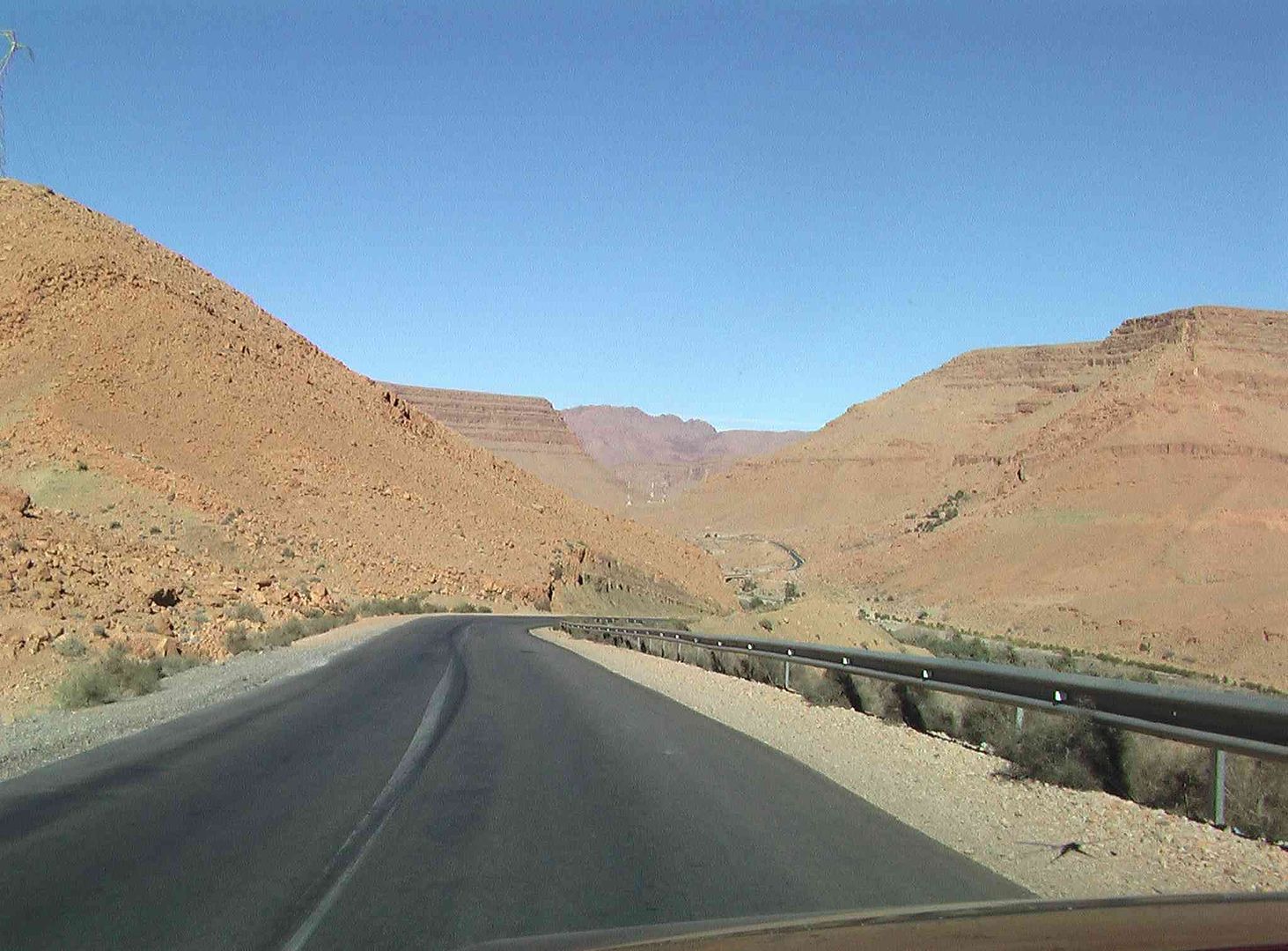
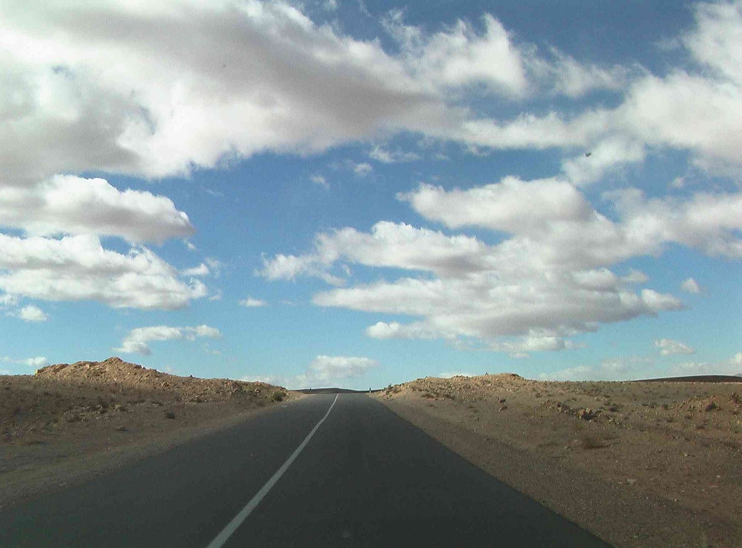
OK so this is the 180 Degrees version of ‘Stage 29’ where we get to see the scenery from the opposite direction….
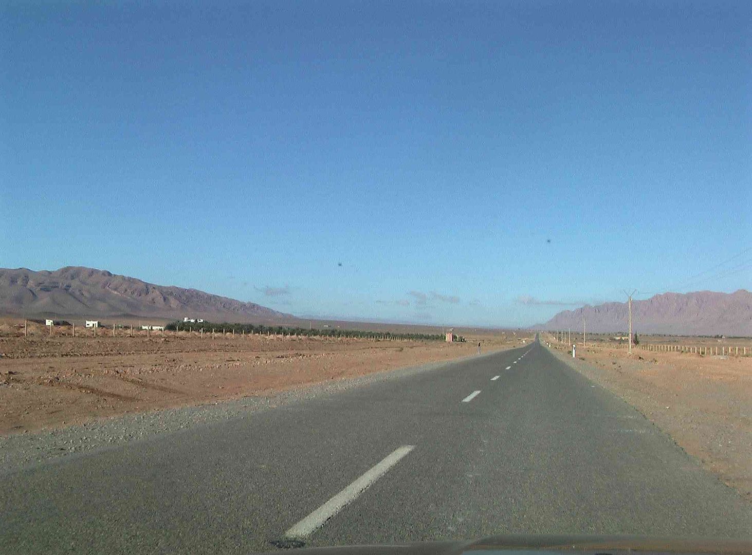
Firstly it was ‘Slowly, slowly’ out of Figuig town….
Then passed the two Police Checkpoints and off into the open road.….
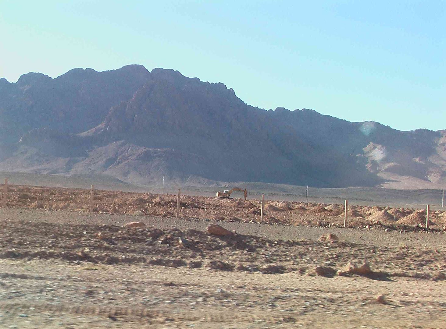
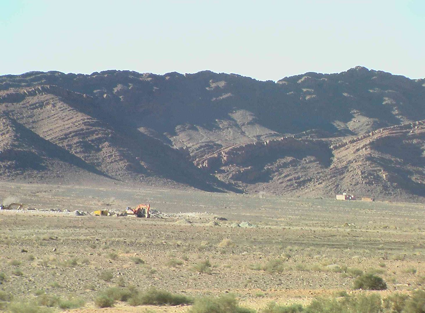
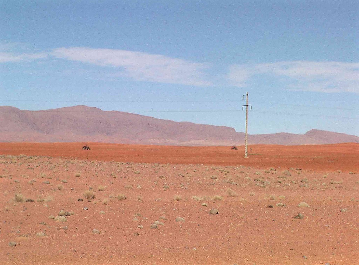
With the number of Co-operatives that have started up, like this one in the picture below, we think that the 200,000 Palms have increased considerably in numbers…..
While the mechanical digger makes more holes for further planting of Palm Trees as the little ‘mounds’ of earth are next to a new hole for a young Palm Tree.…..
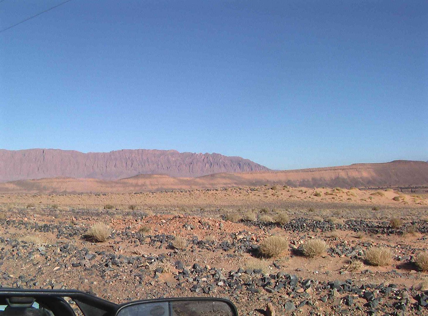
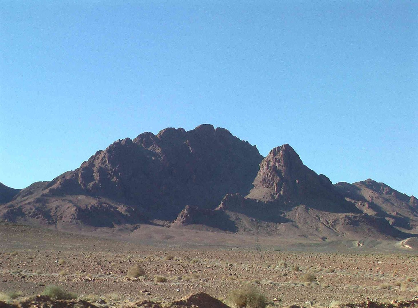
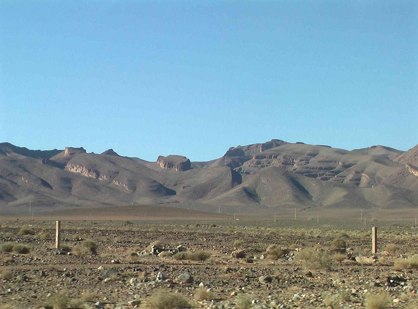
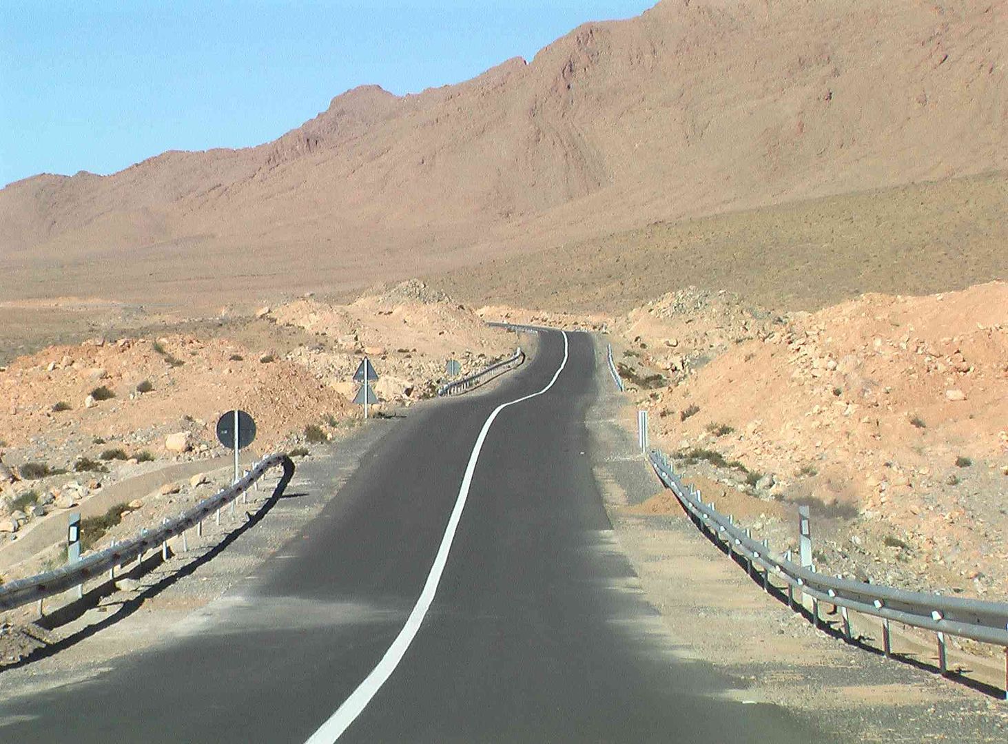
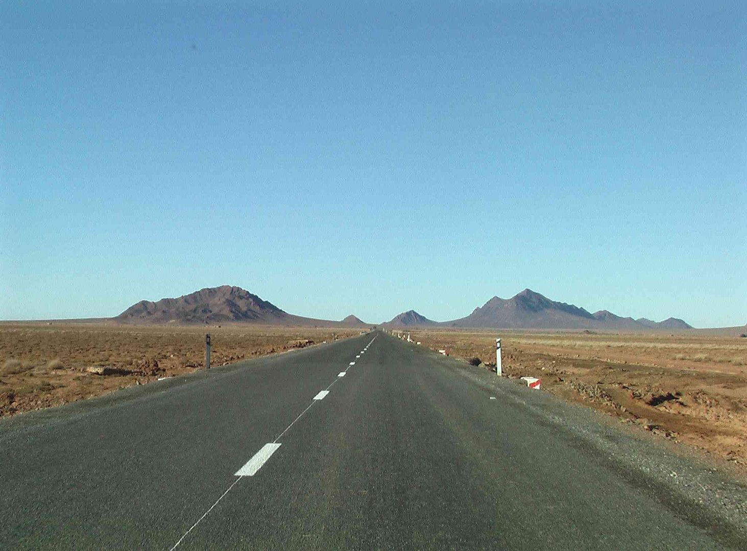
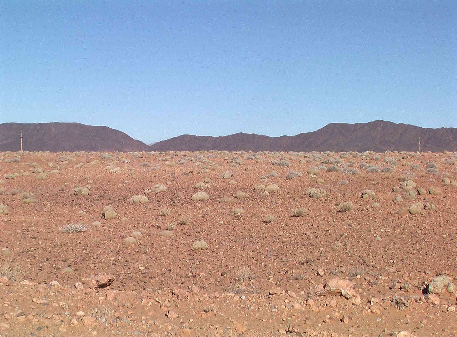
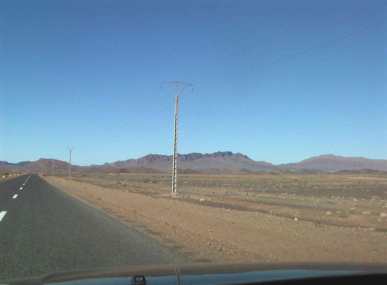
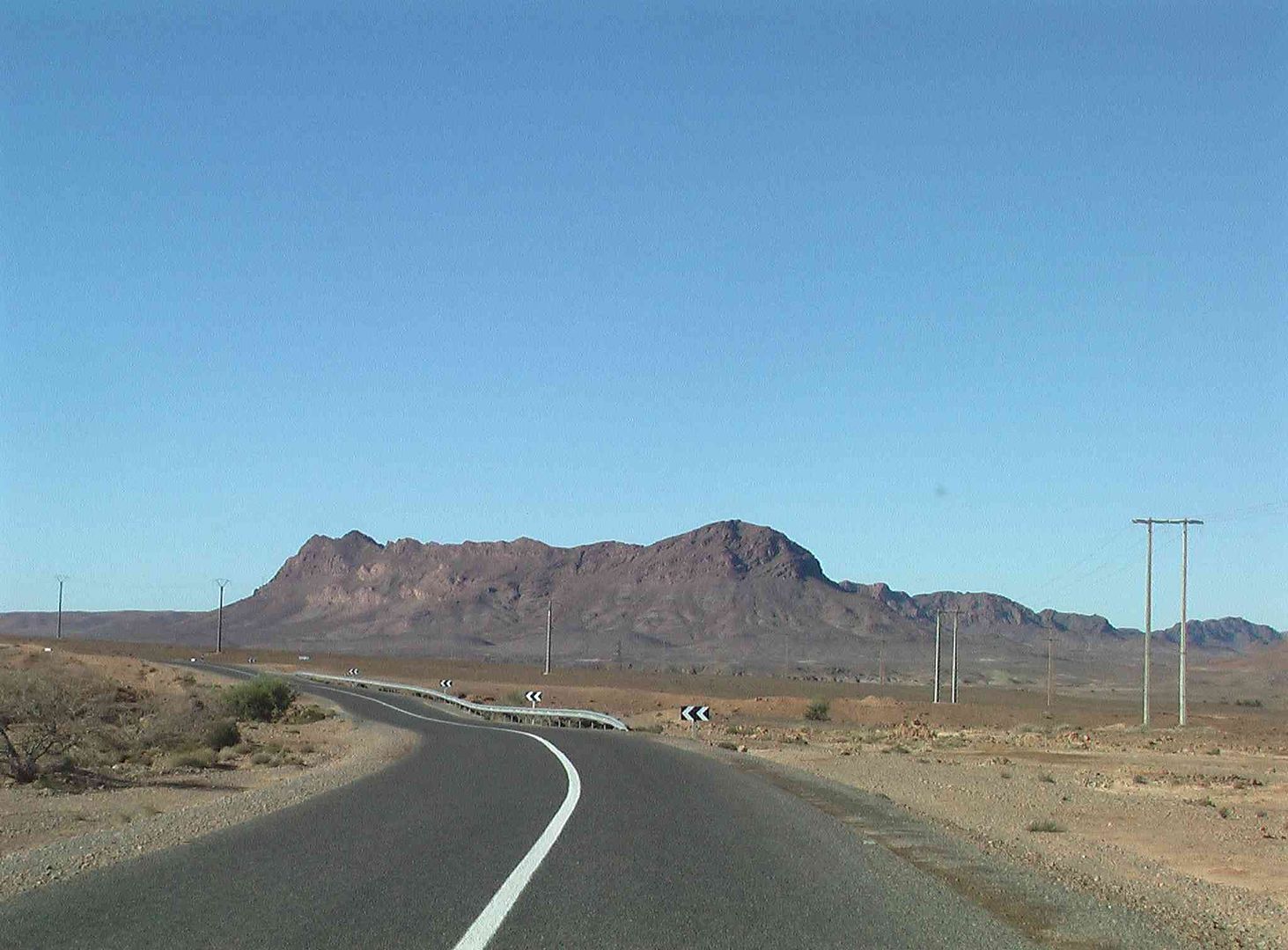
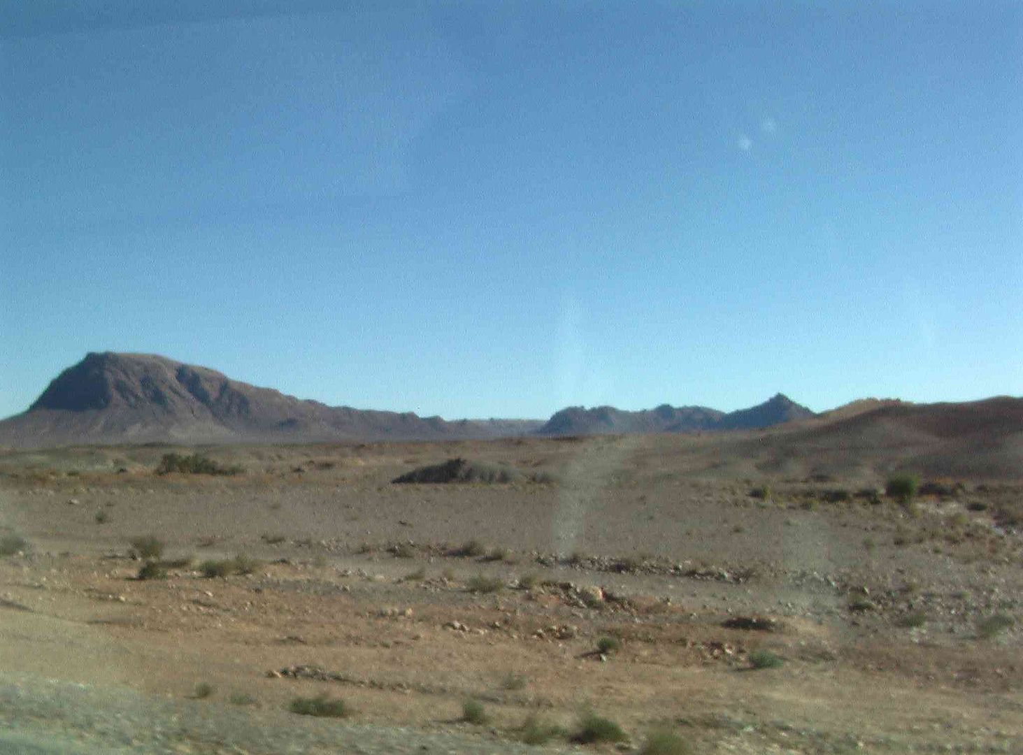
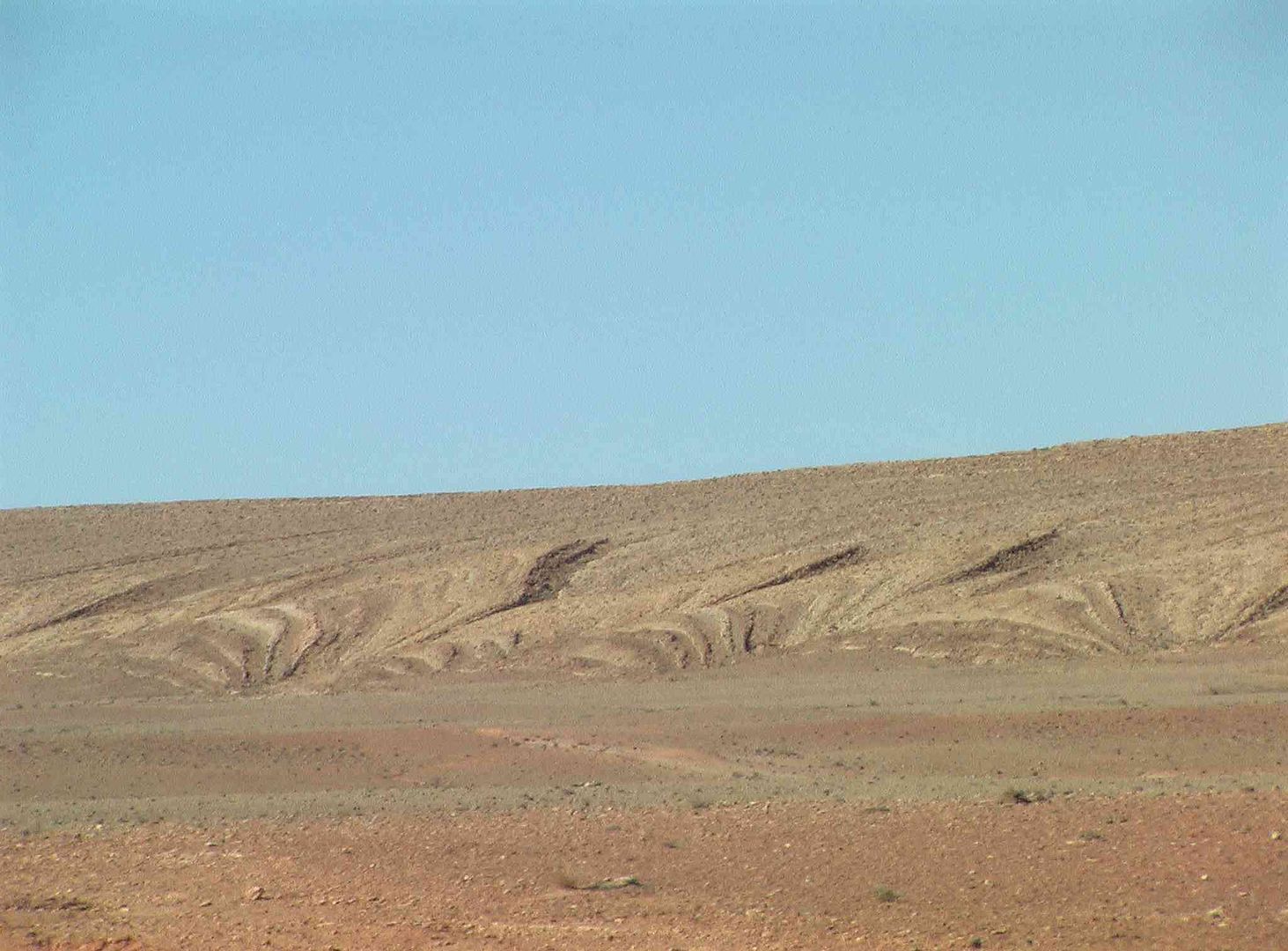
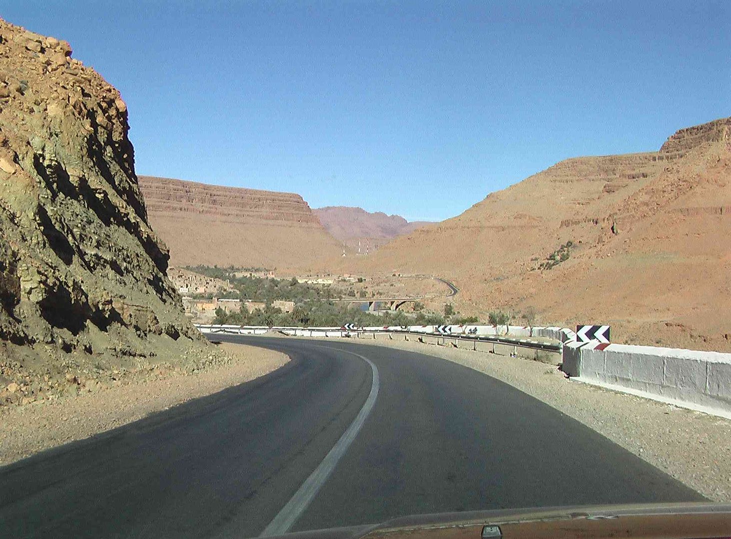
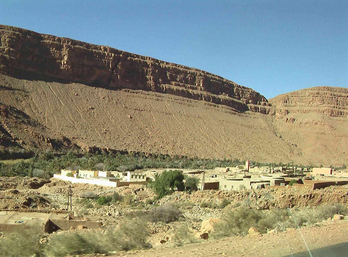
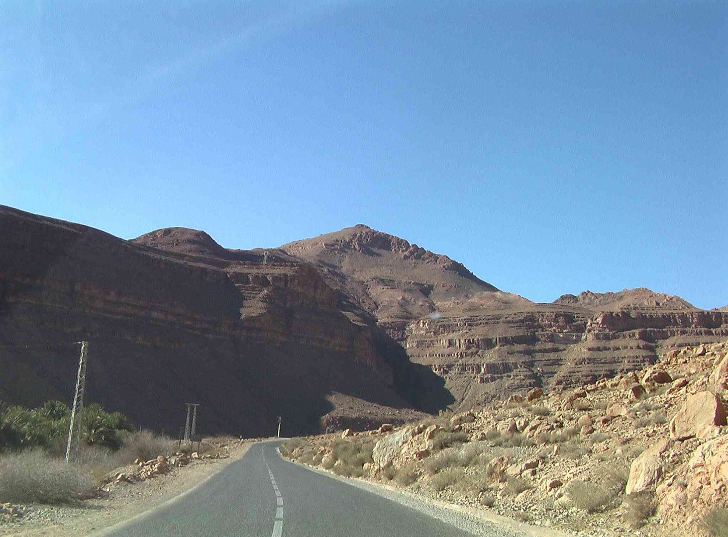
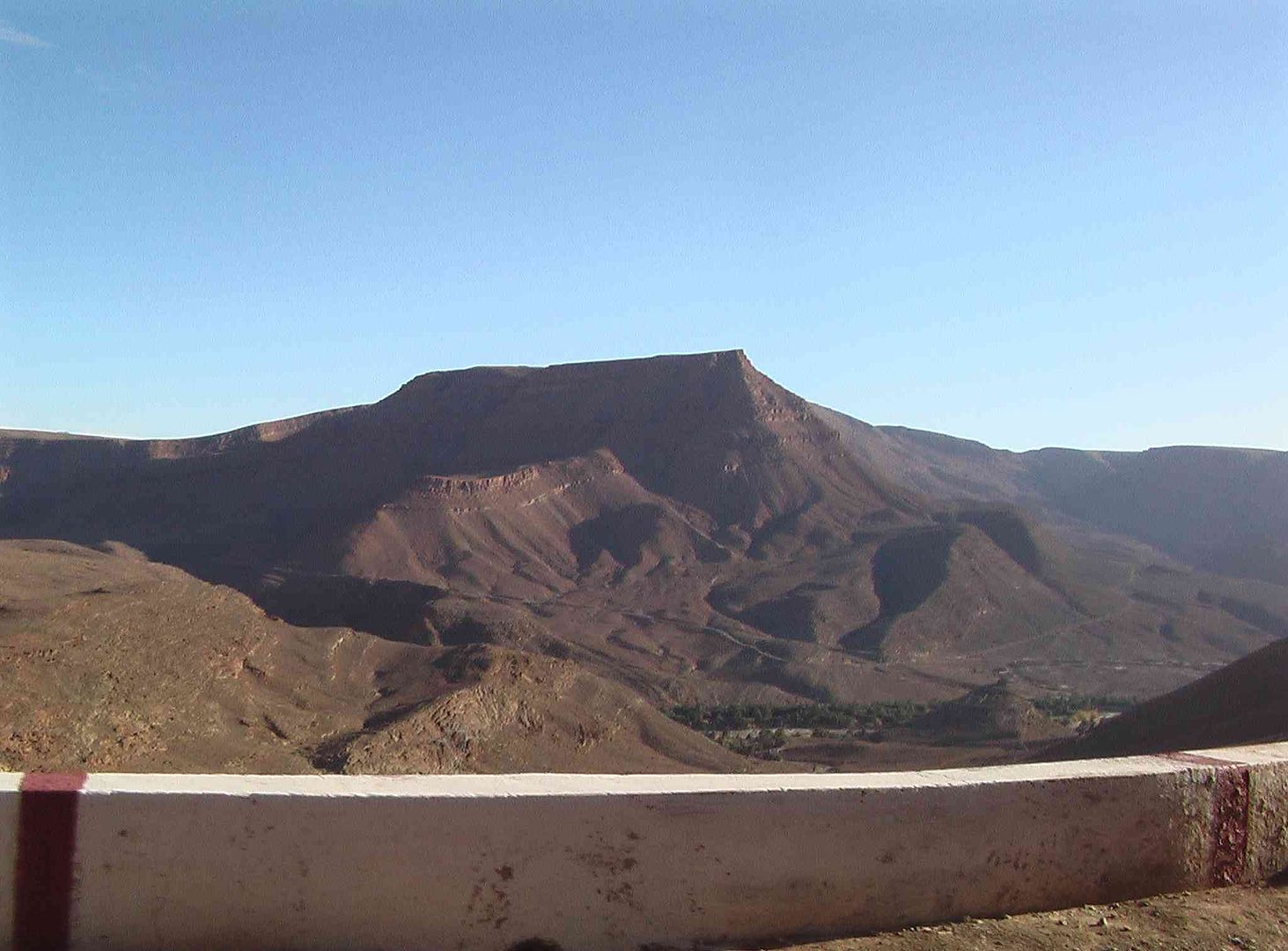
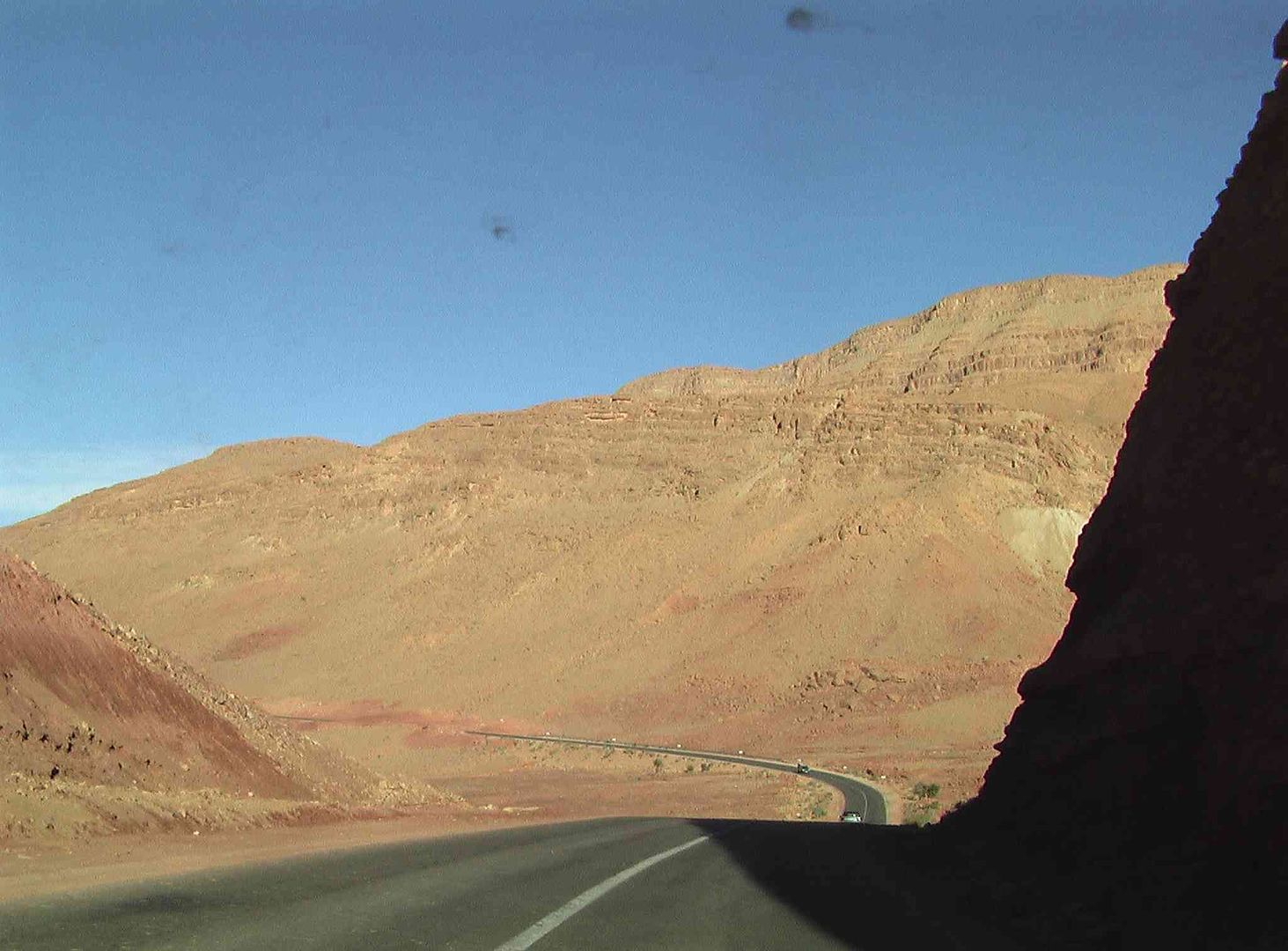
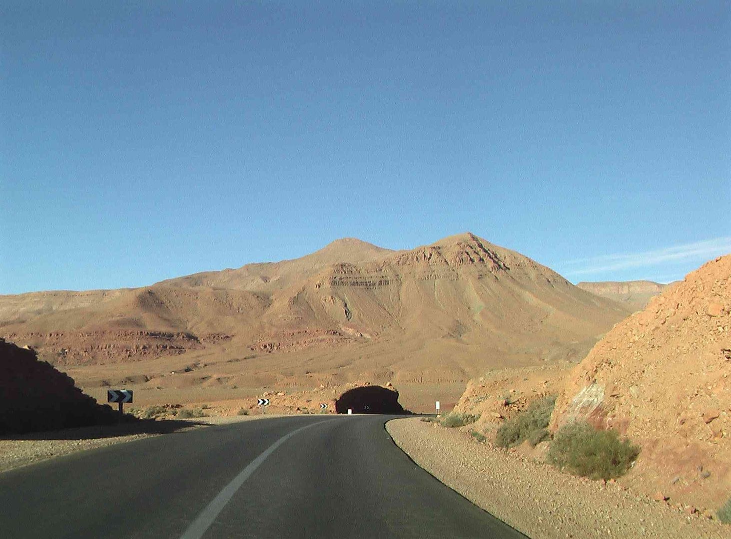
Interesting mountain shapes….
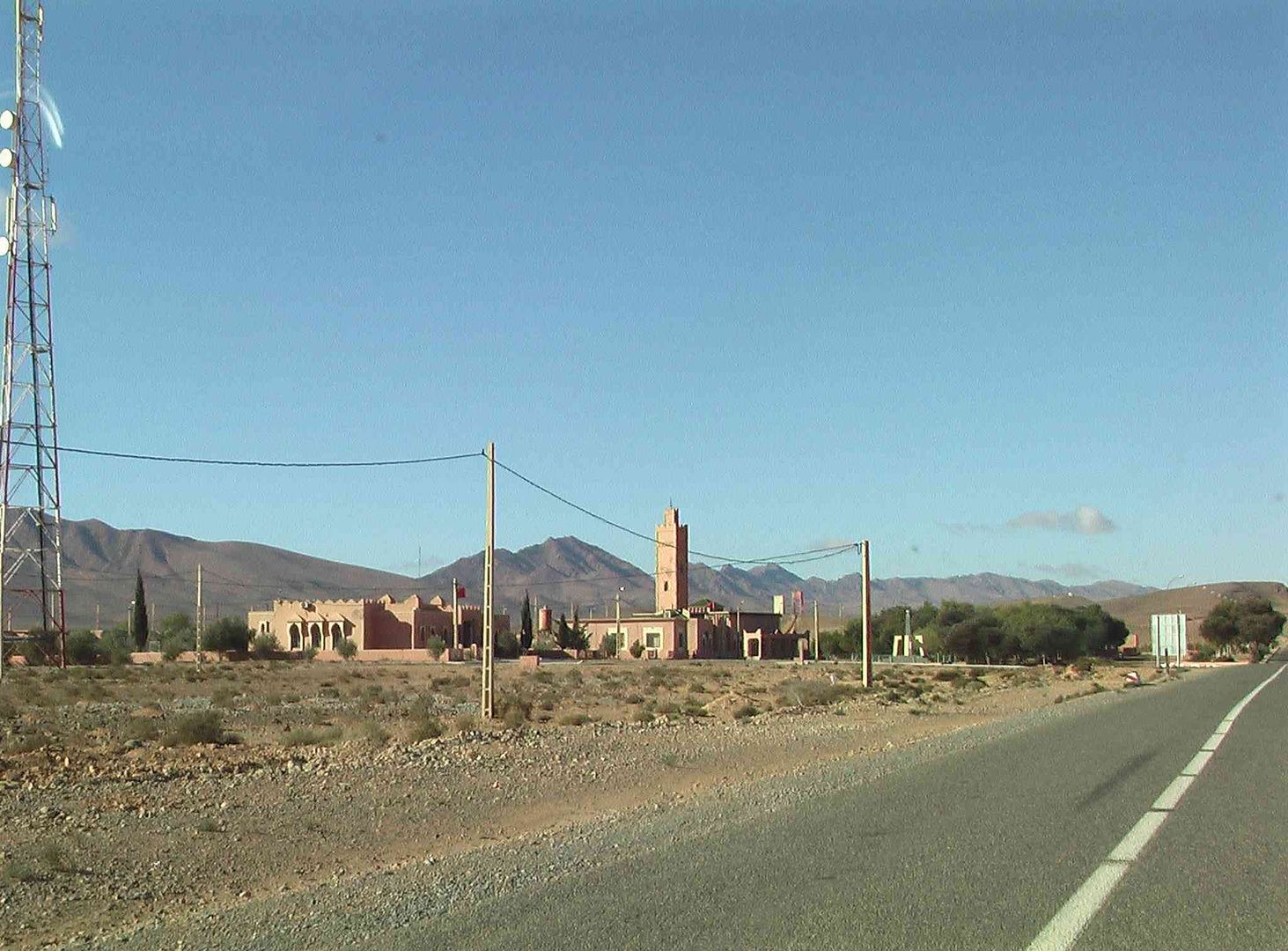
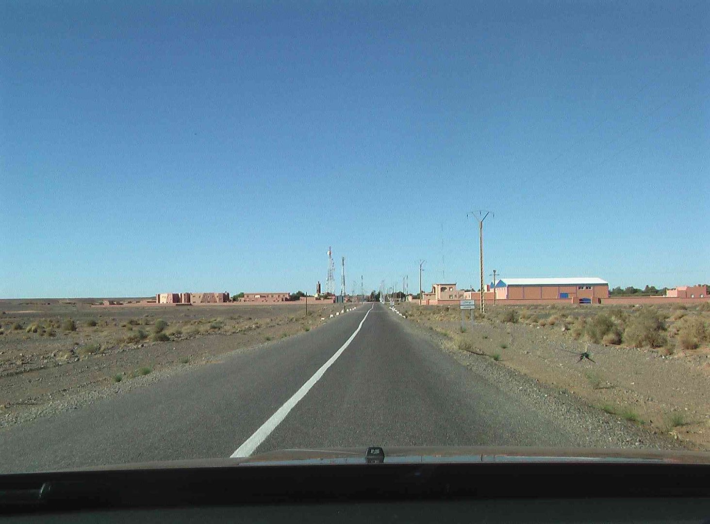
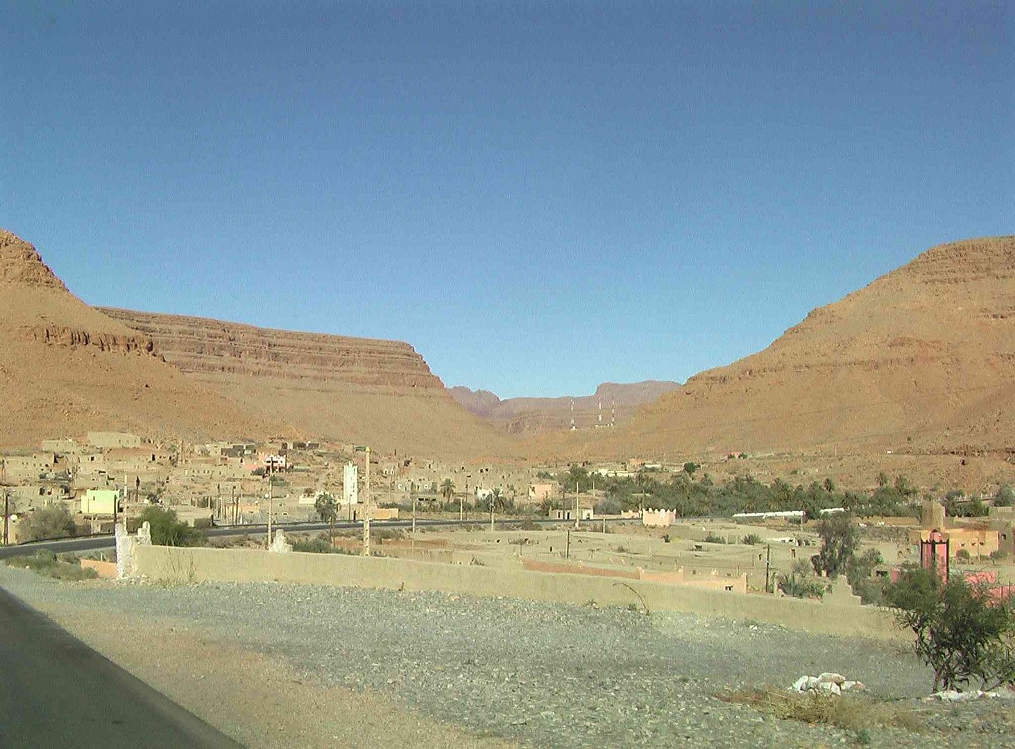
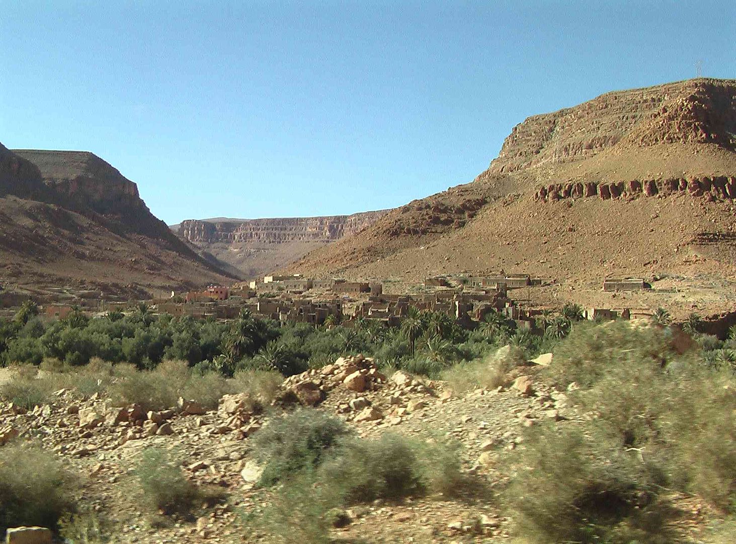
The little village we came through on the way down....
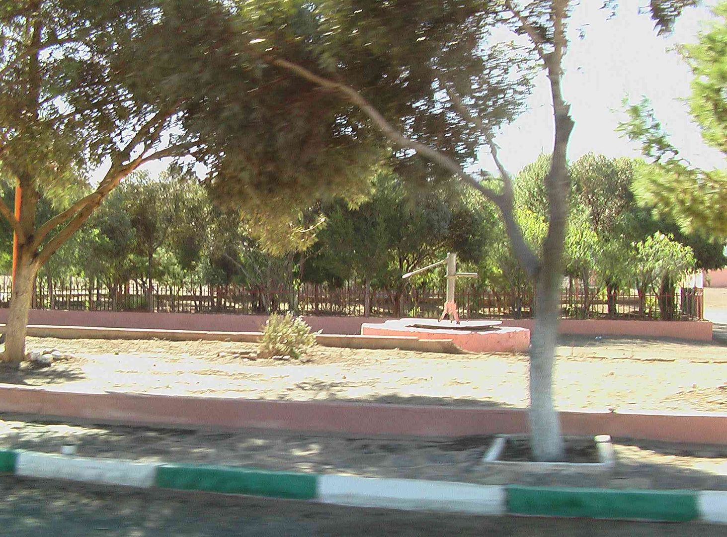
With the hand operated water pump that we missed as we came through….
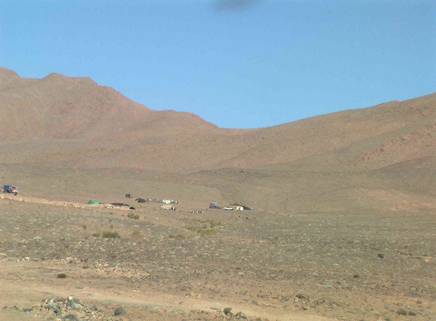
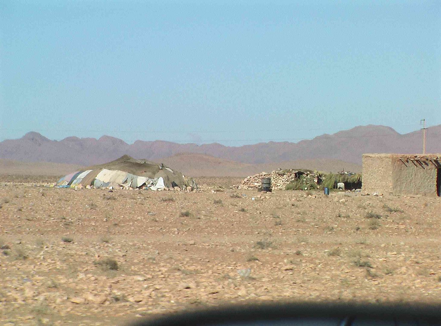
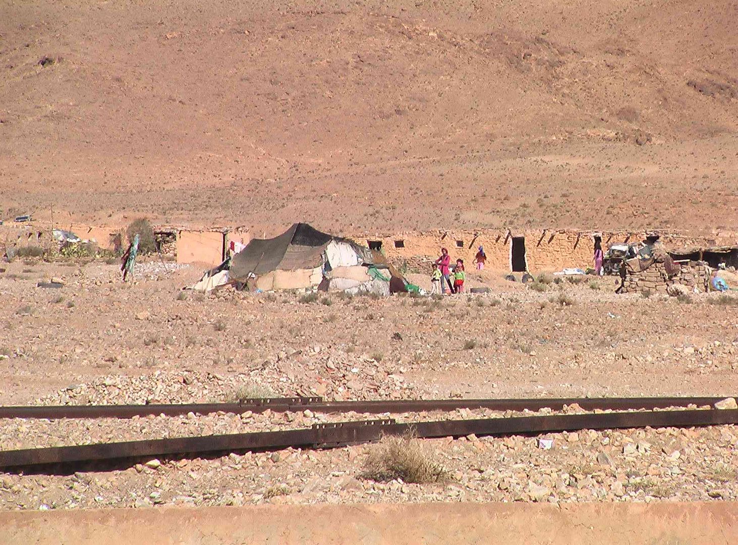
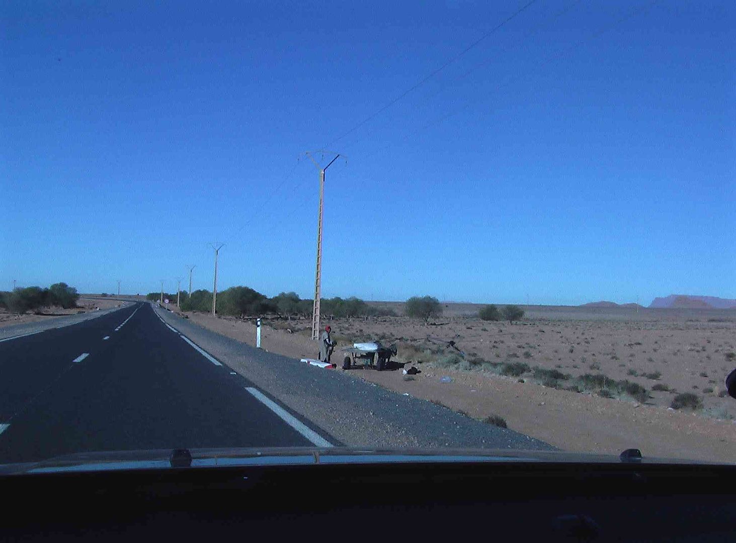
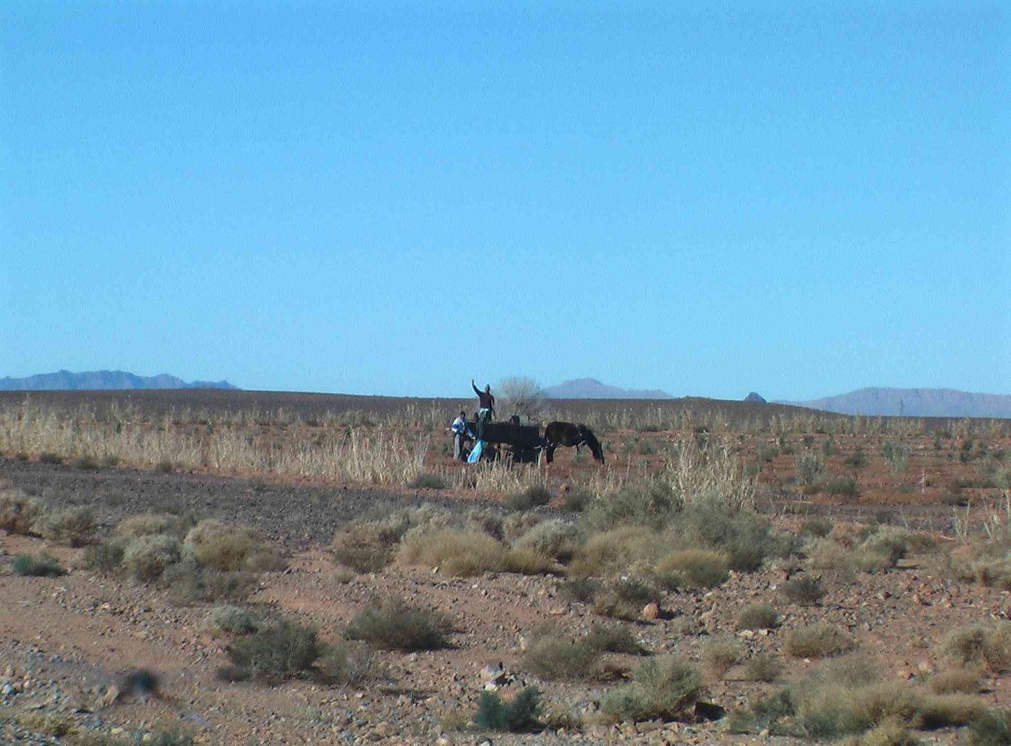
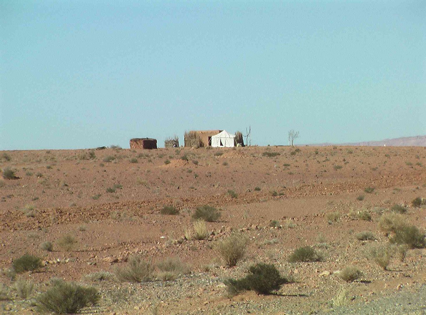
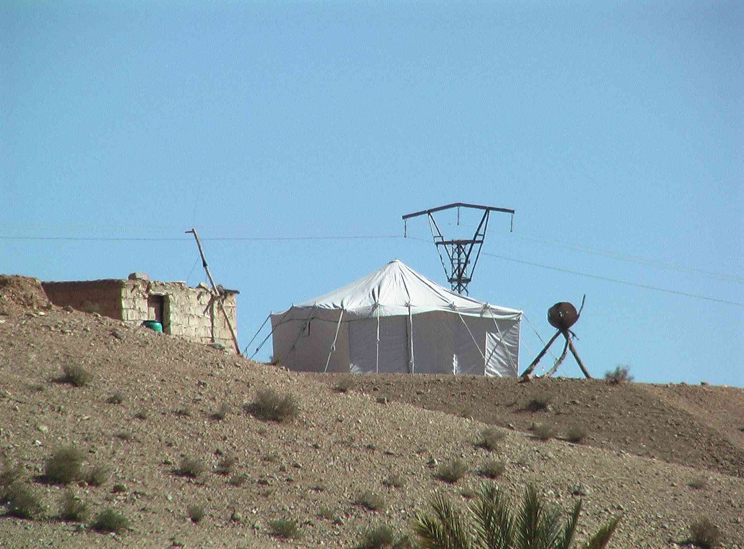
While a bit further up the road is this Nomad Camp and there were a few along this road….
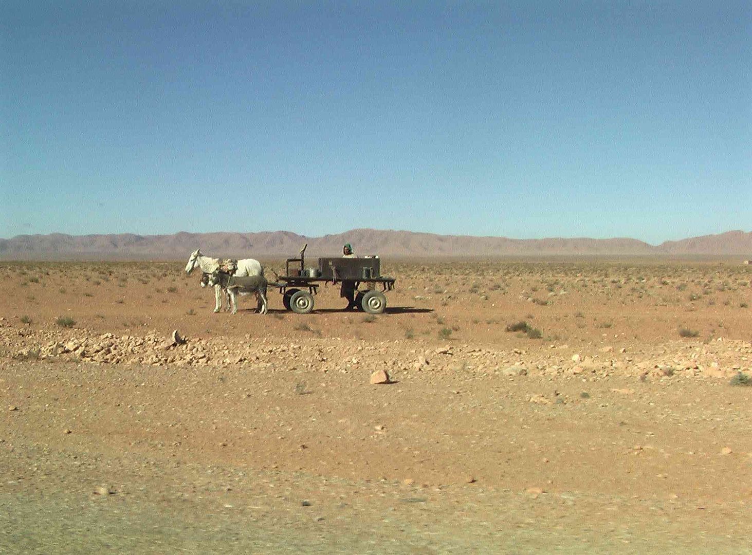
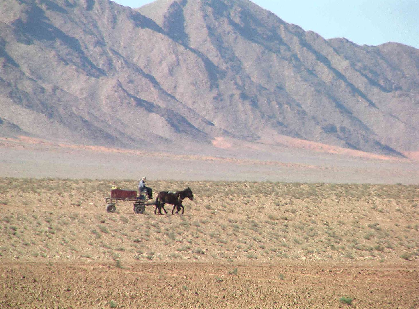
As we pass this wagon being pulled by 2 small and one large Donkey….

Then a bit further along we pass this very large water container on a wagon, being pulled by a Horse….
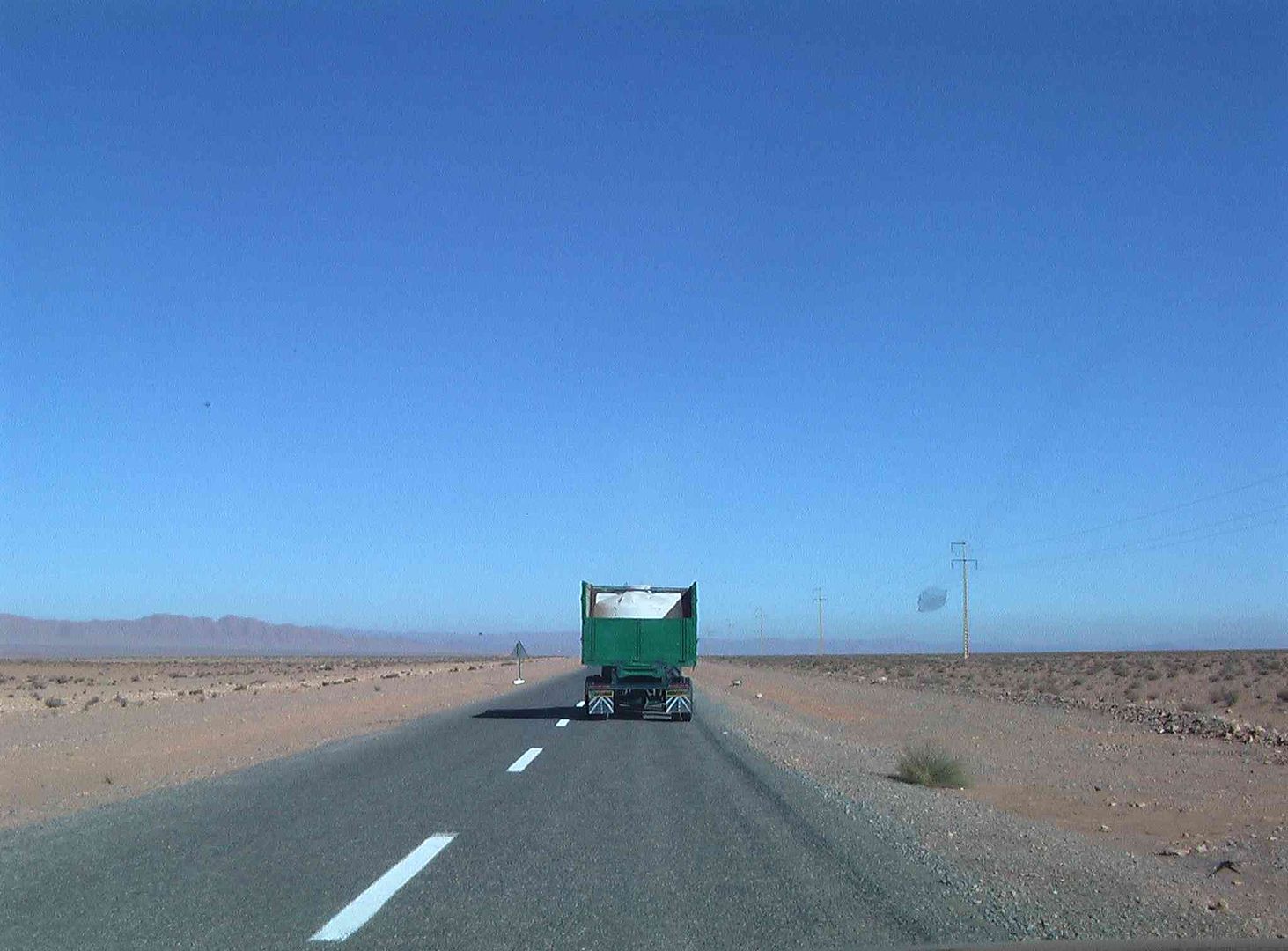
We then pass another wagon with another Horse and two Donkeys hauling a water container….
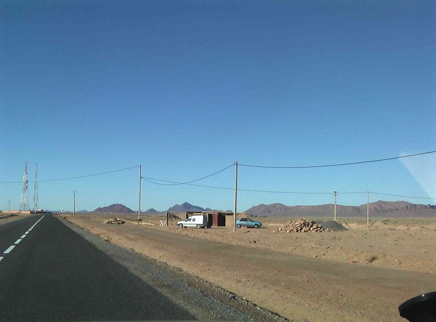
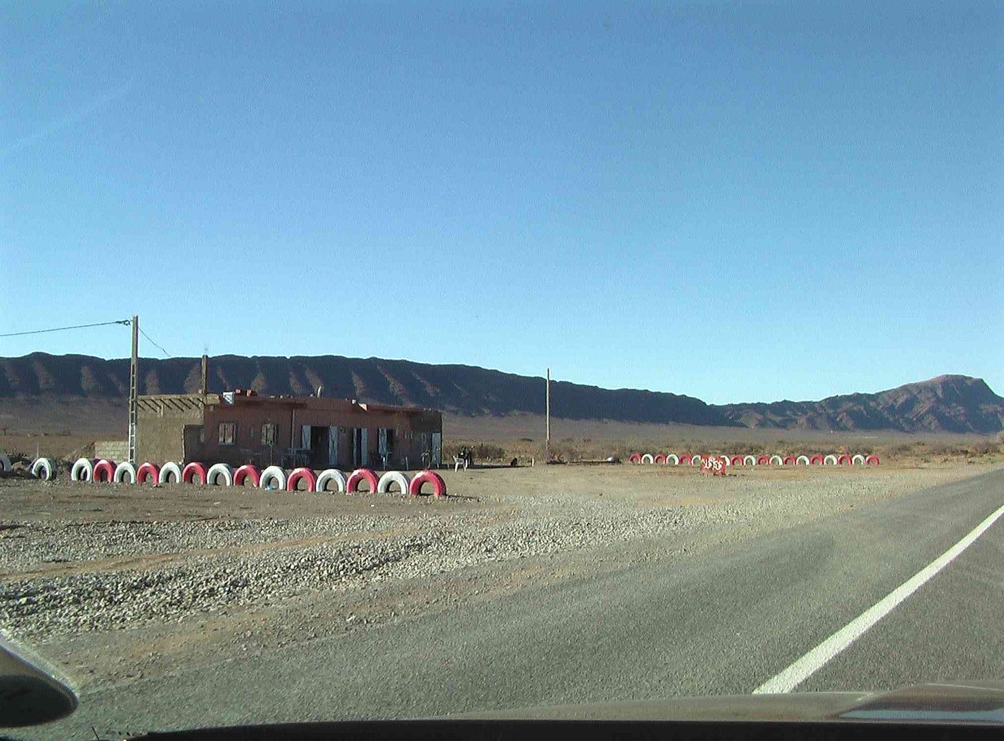
As we then pass one several ‘Water Filling Stations’ that are alongside the road that are used by the Nomads…..
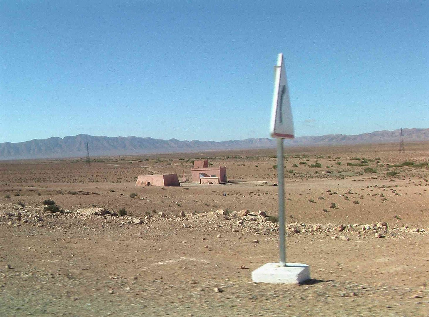
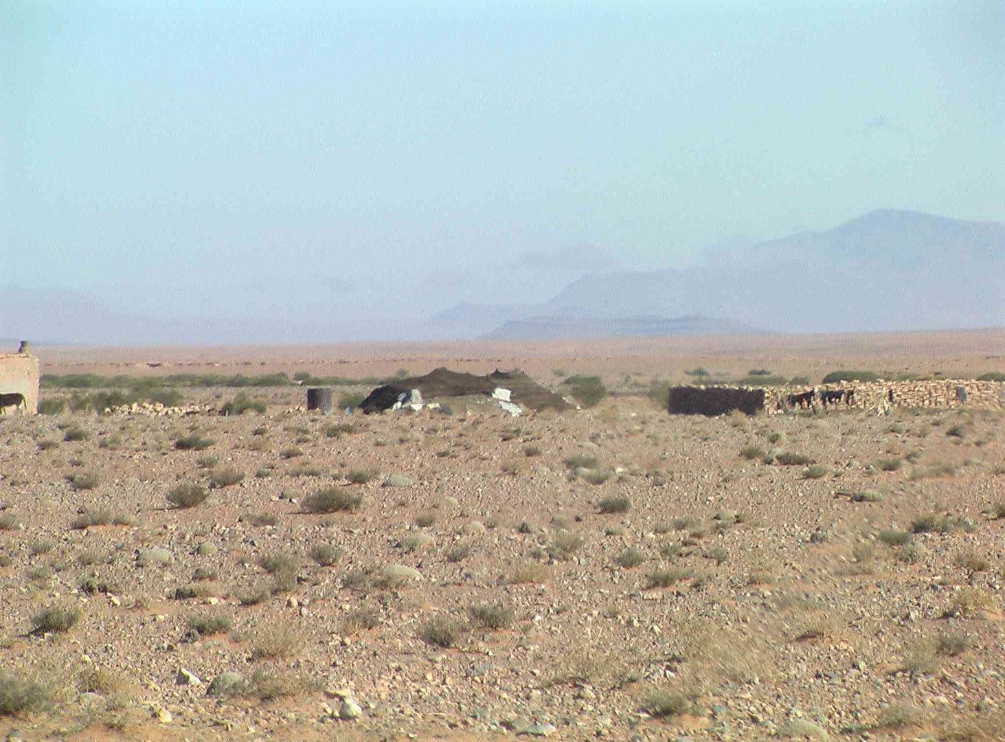
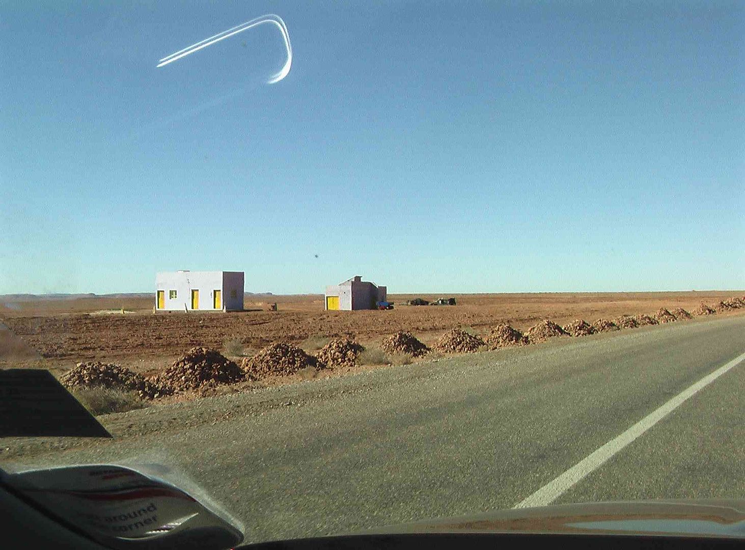
Two more Nomad families close to the road but with permanent ‘outbuildings’ used to hold their Goats in….
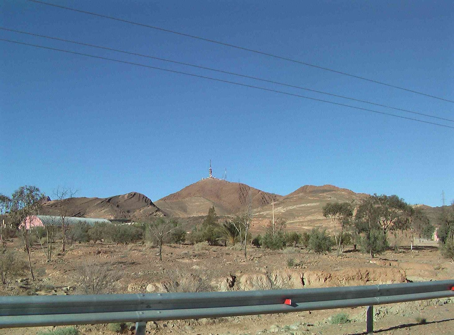
Coming up to the group of Comms Tower & Masts we stop for a comfort break…..
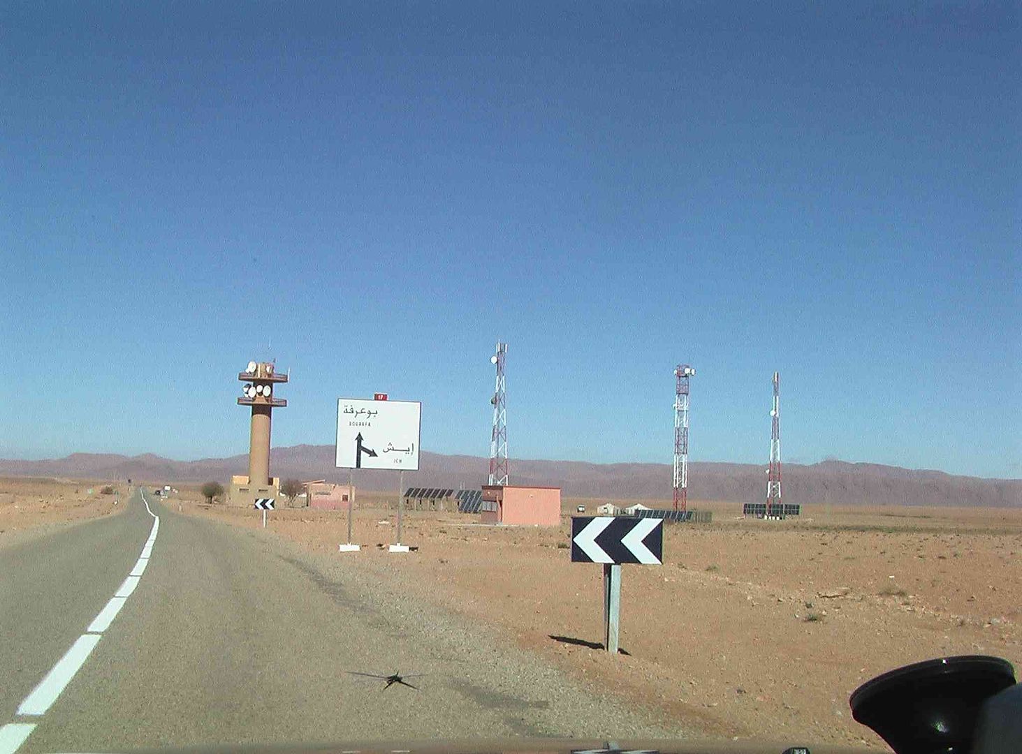
Then heard the ‘Diesel Generator’ running that was supplying power to this mast as it had no mains power supply running to it…..

Yet another water tank going to or from the well…..
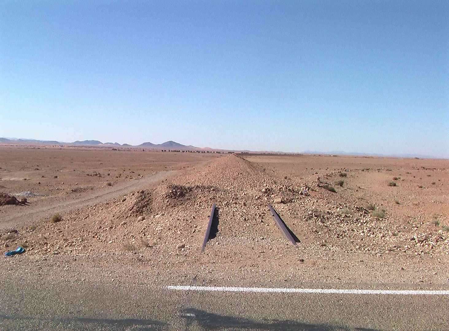
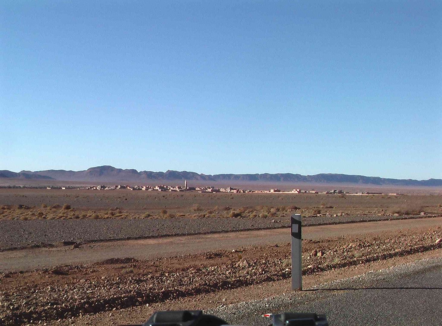
Then we see Bouarfa off to the left…..
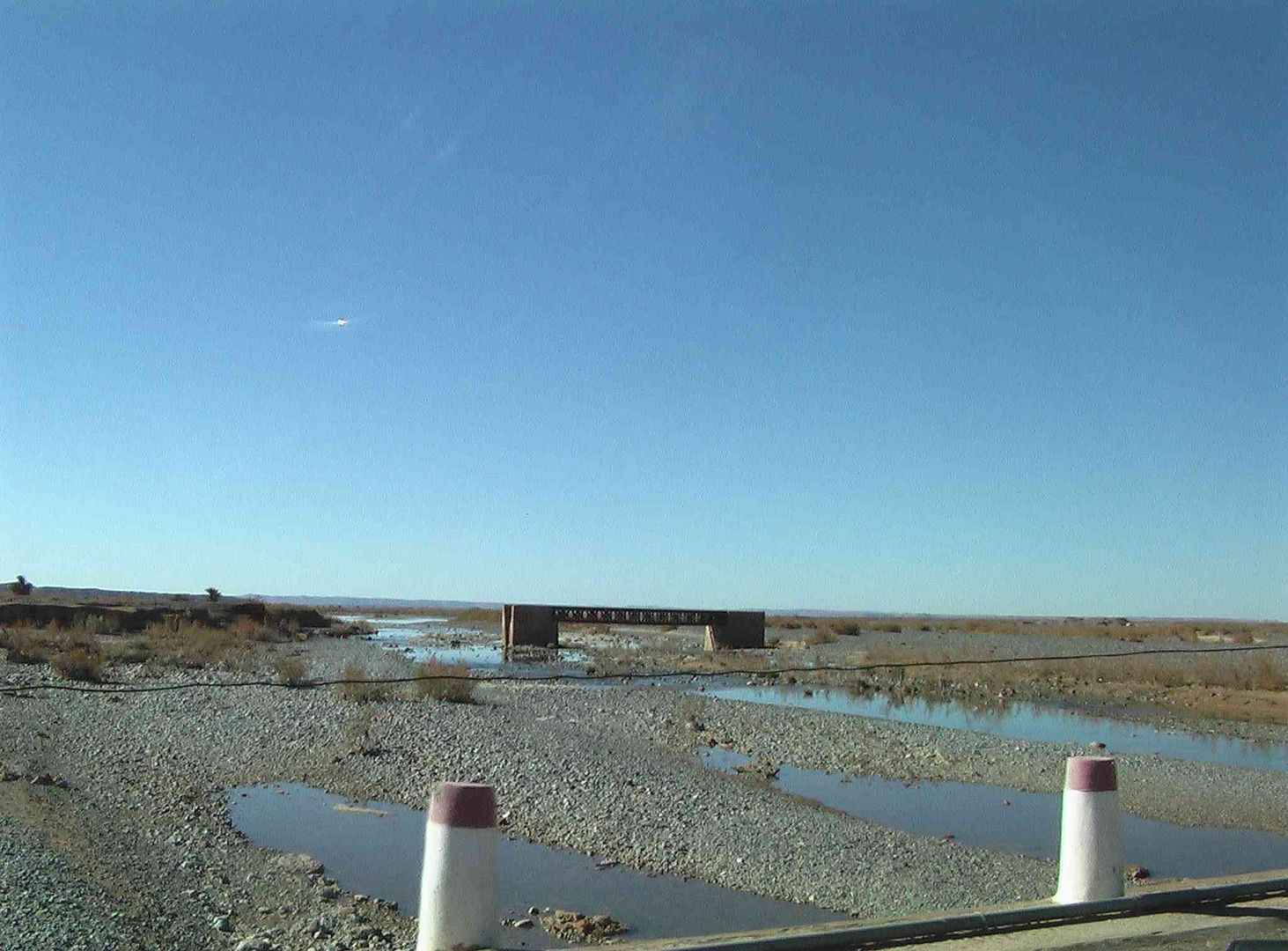
As we come to the now disused Railway…..

While not far from the Railway lines but away from the town is this Nomad Camp with what look like some permanent buildings…..
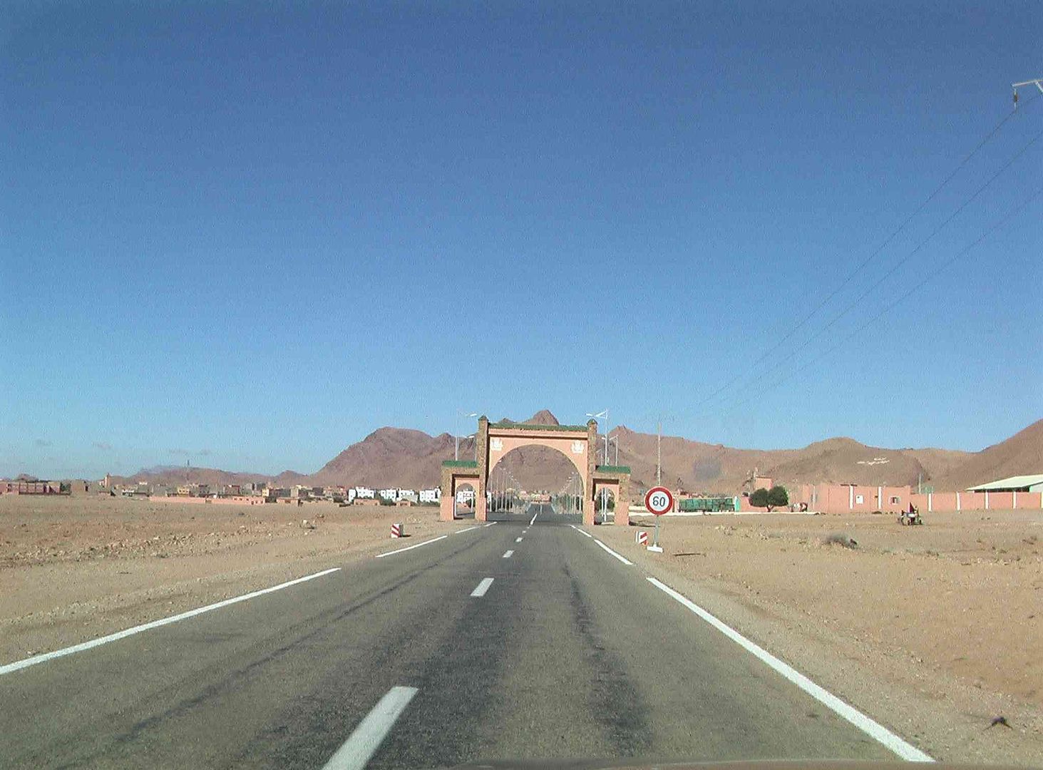
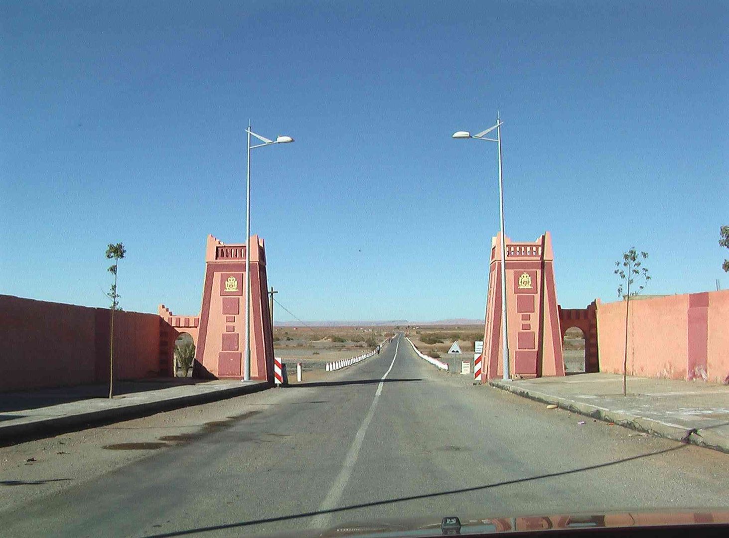
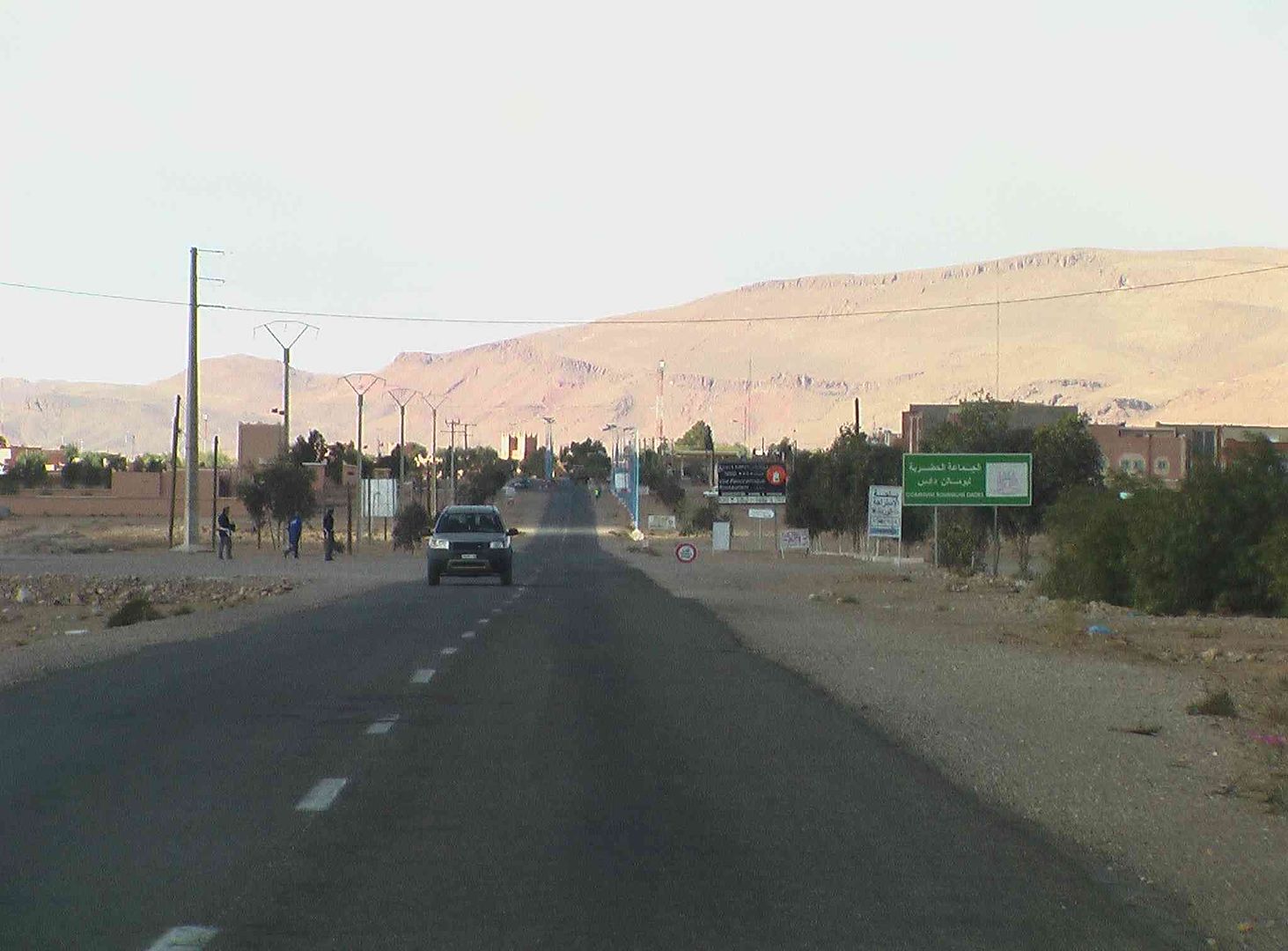
Next along are the Town Gates, and on the other side the 4 Lane Road…..
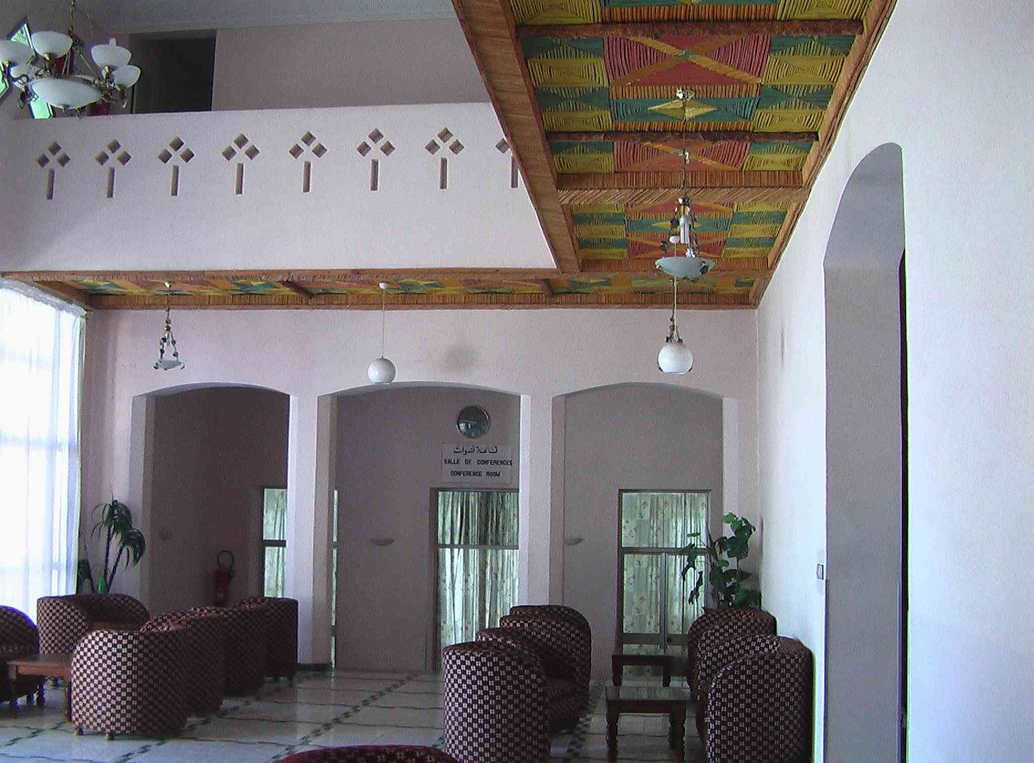
As we get back to the Hotel/campsite we find that ‘The Pub’s go no Beer’! ....
....
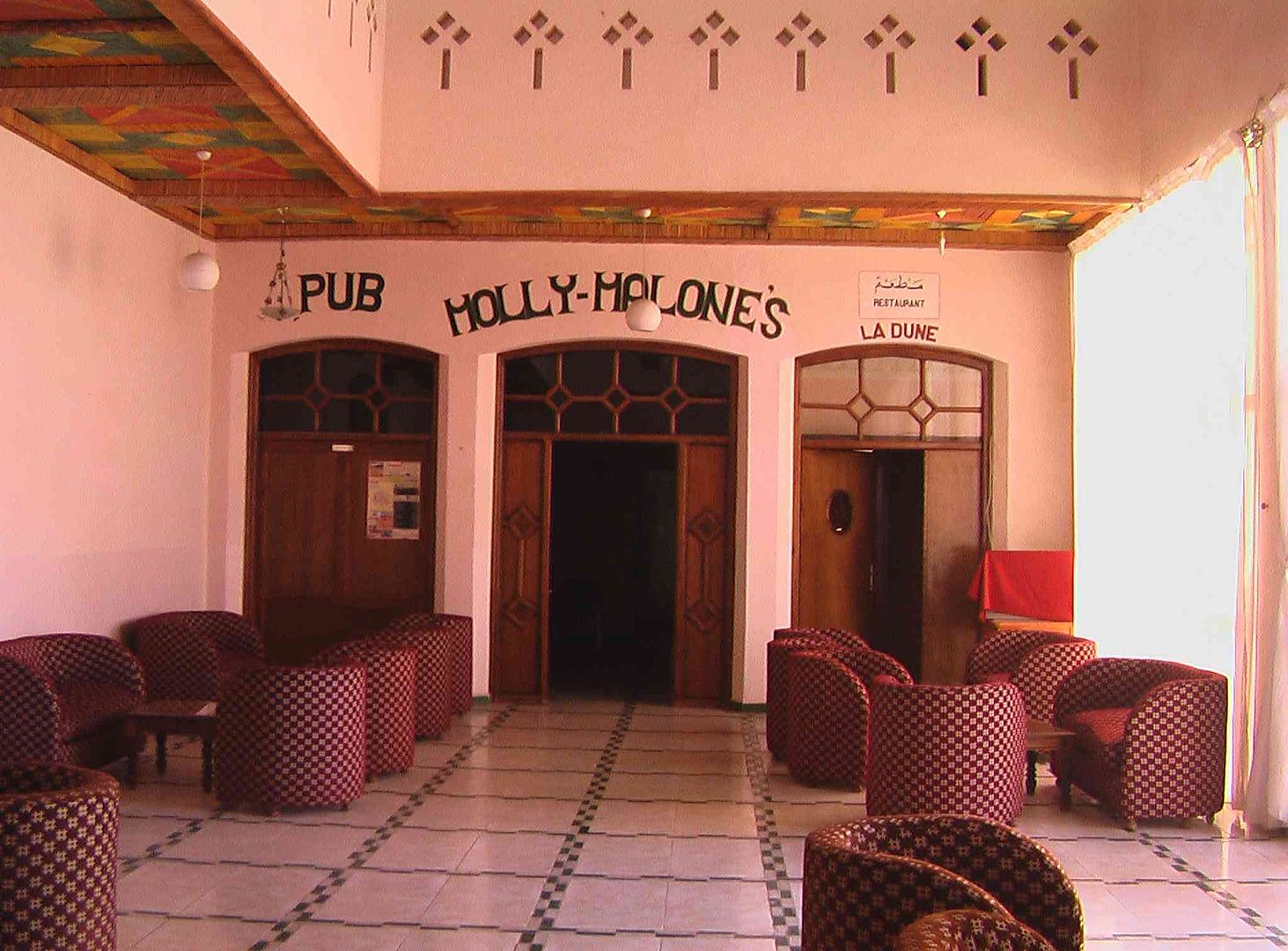
While the lounge area is nicely decorated….
Next stage tomorrow is a long one of around 240 Miles as we are going North of Er Rachidia to a campsite we stopped at last time, that has Prehistoric Monsters in!….
tisbah `ala khair (Arabic ‘Good night’)
-
01-29-2014, 07:01 AM #94
Senior Member
- Join Date
- Nov 2009
- Location
- South Wales UK
- Posts
- 1,901
Stage 31 Bouarfa to North of Er Rachidia
Salam Alikam
Once again this is the 180 Degrees version of Stage 27 & 28 between Bouarfa & Er Rachidia, while the 18 Miles North to Hotel-Camping Jurassiqe is normal
As we came out of Bouarfa at 08:30hrs this morning we took it easy which was a good thing as the Boys in Blue had their little Radar Gun set up just out of town on the 60Kmph section and had caught to cars coming the other way .
Meanwhile re-packing the Donkey cart .
Then we pass another Donkey cart further along the road and get a nice wave from the folks on board ..

Not long and we approach ..

Which is quite close once again to the Algerian Border, as much of this road is, which means there is a significant Police & Army presence along it ..
Nice Hello wave from the men in the field as we pass by. ..
As we travel along this particular section of road, there are literally thousands of those Channoud (le chou-fleur de Bou Amama) mentioned in Stage 29A .
While in the middle of nowhere is this Transport/Roadside Café ..
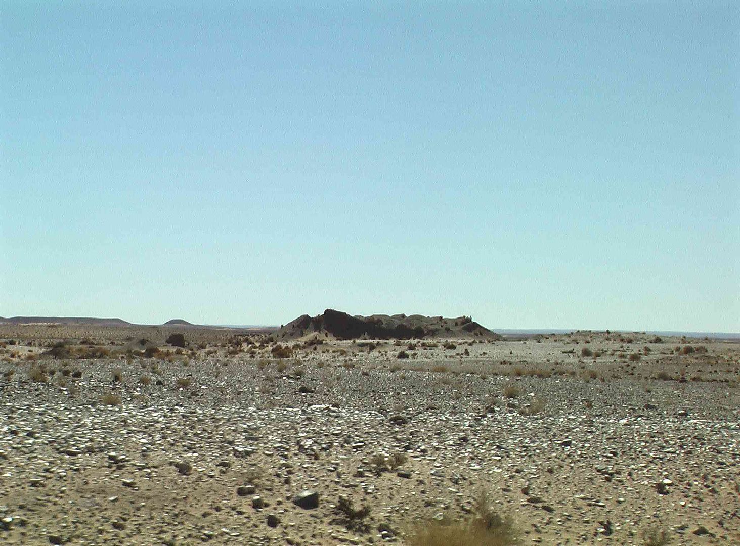
More earthworks we suspect for minerals .
As we pass we think this Army Watch Tower, as we are very close to the Algerian Border.
At this point we have once again lost the Morocco Map on the GPS (TomTom) as it thinks we are in Algeria, then as we get passed the Army Post, the Map suddenly reappears and re-calculates the route to our next destination! .
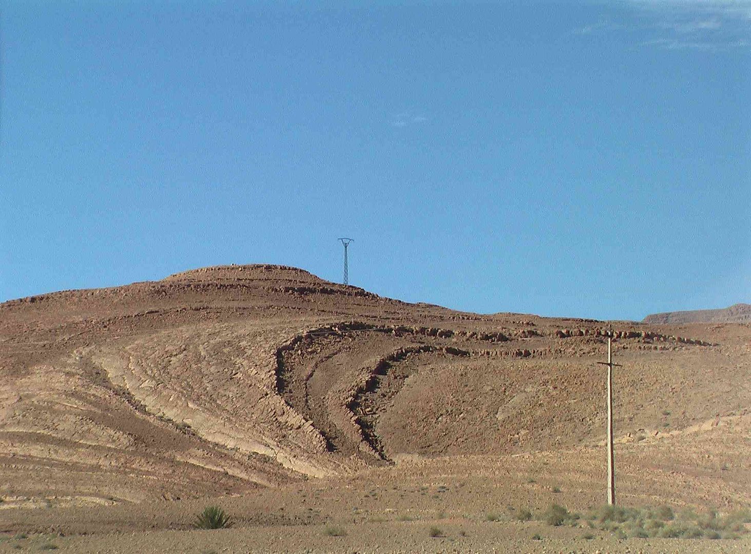
While as we look back you might be able to see the Sleeping Ladys Head with her hair flowing out around, as her hands are crossed over on her chest. .
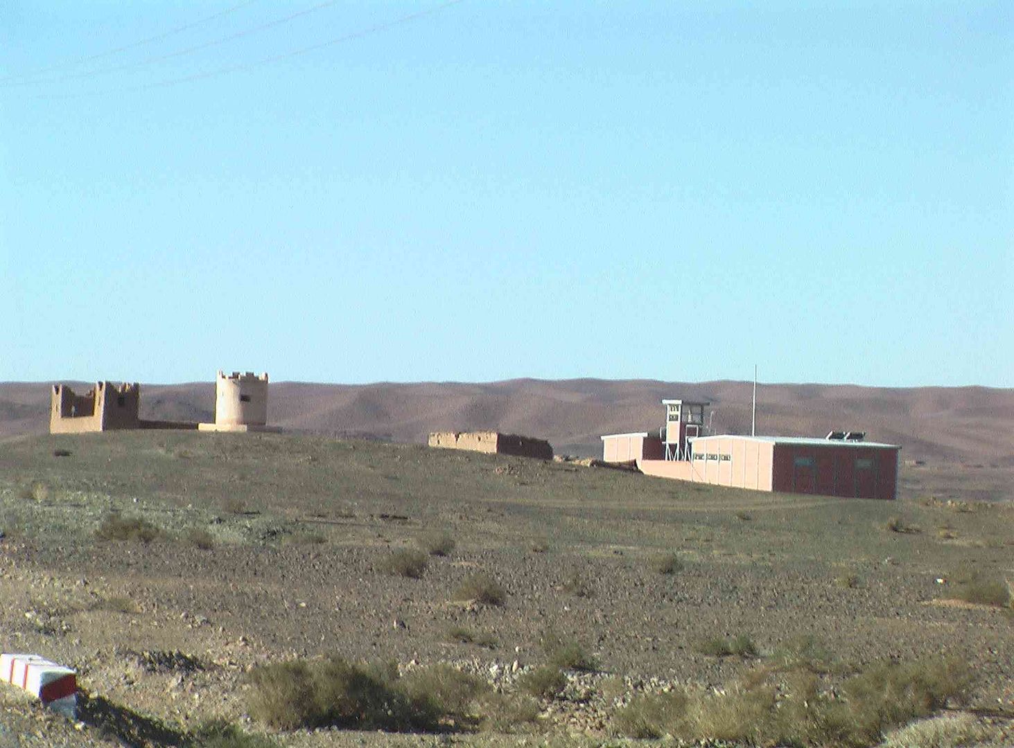
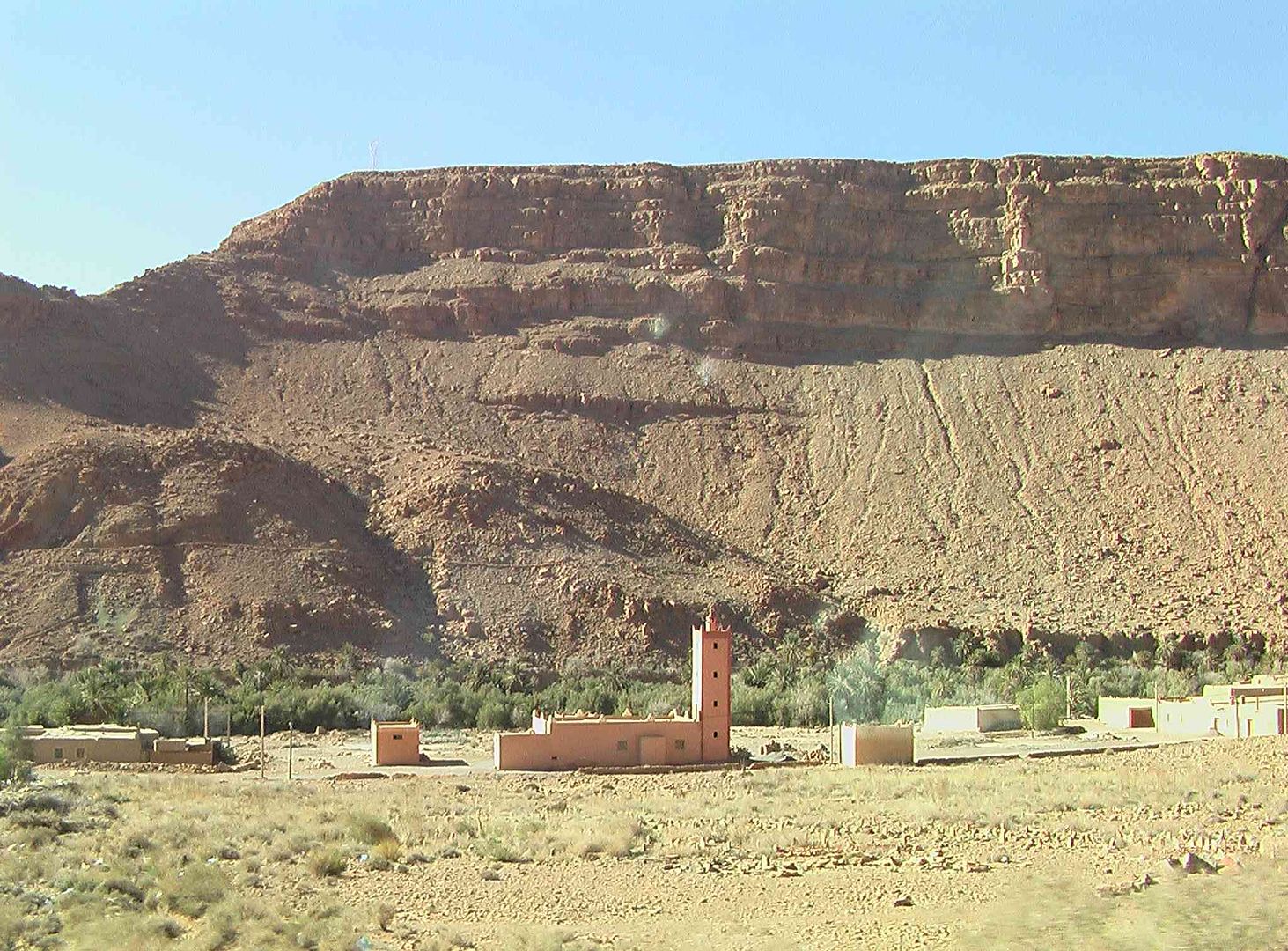
We then pass a rather old but still occupied building which looks a bit like a Fort .
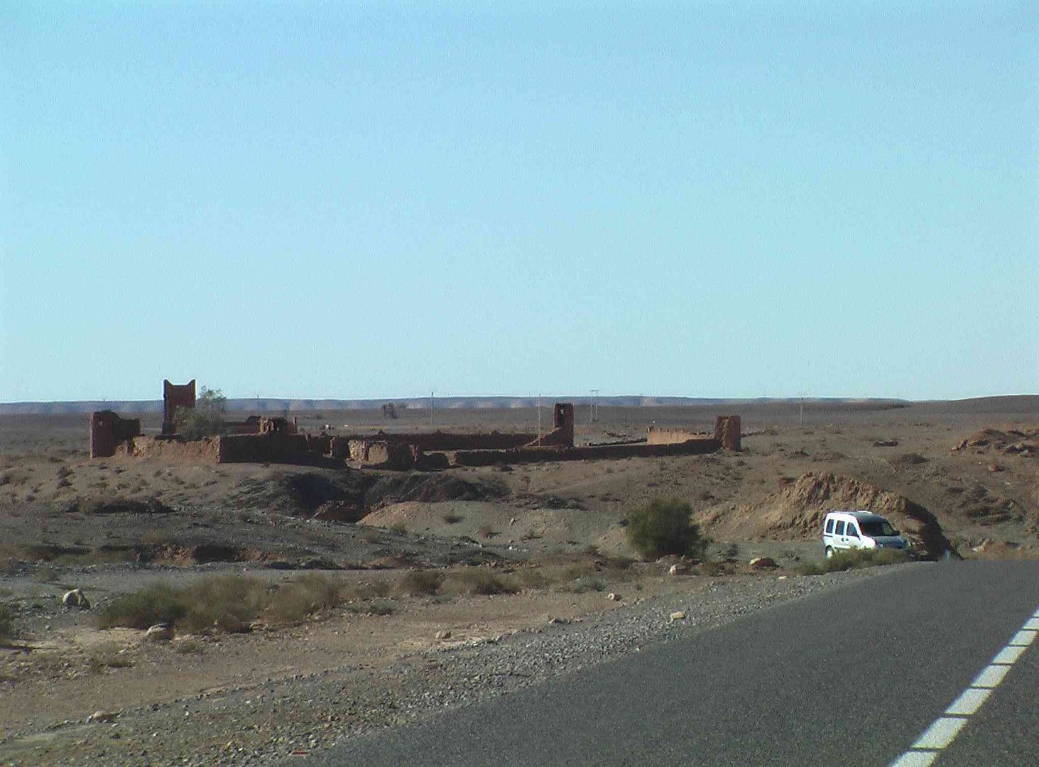
With the river close by that still has water in it ..
Electricity Distribution building
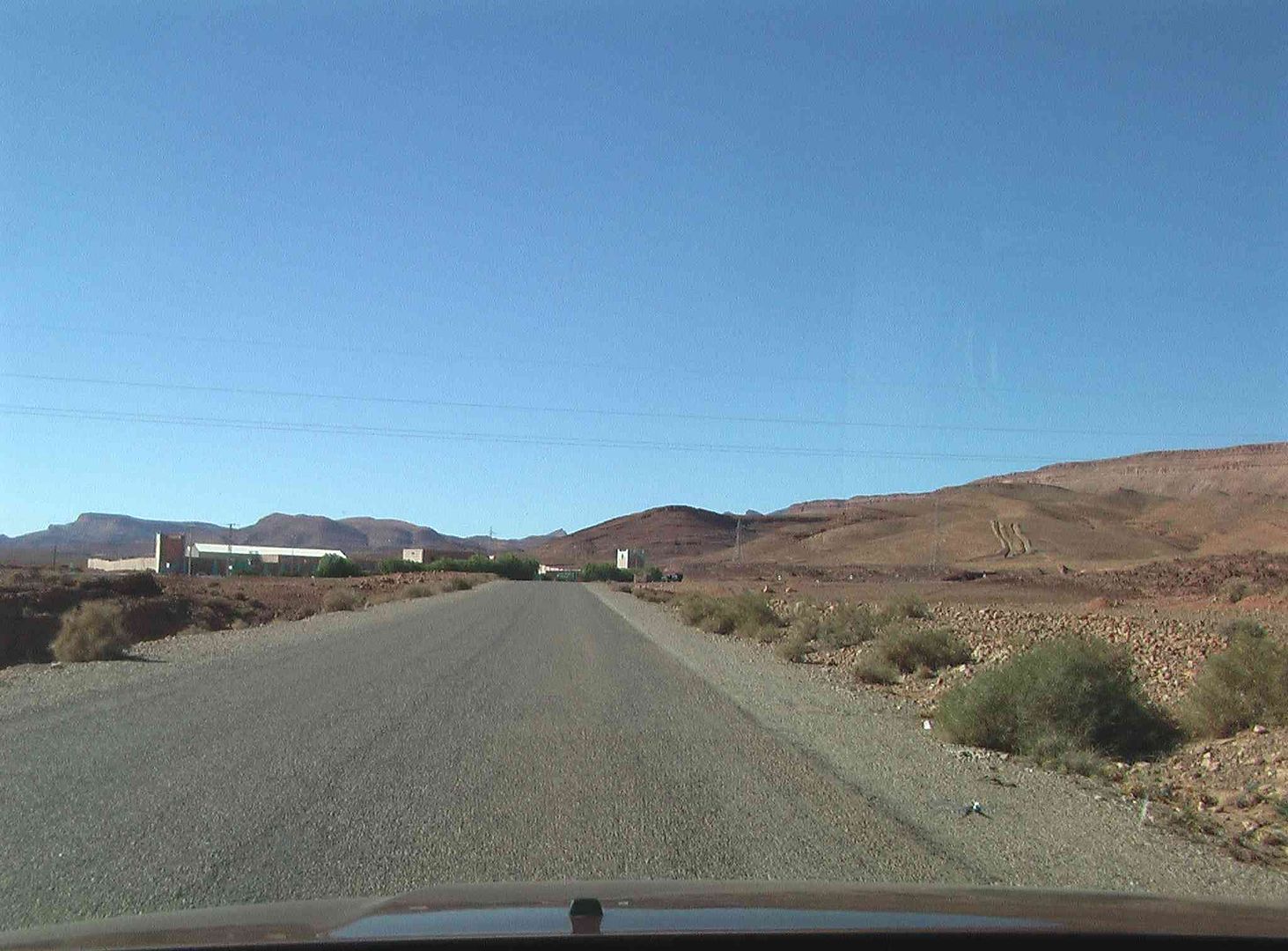
As we enter the town of Bouanane ..
Town Gates from the other side ..
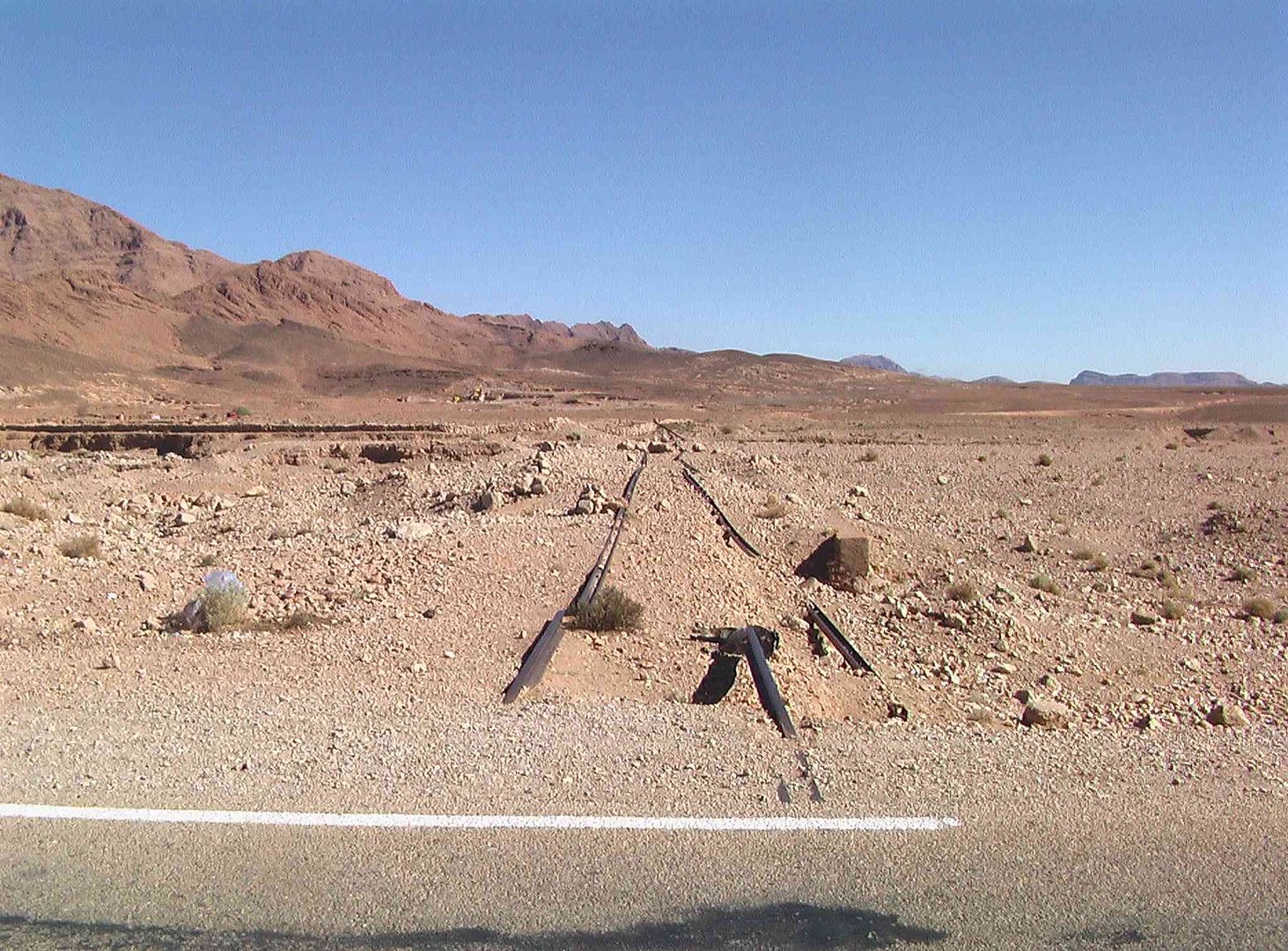
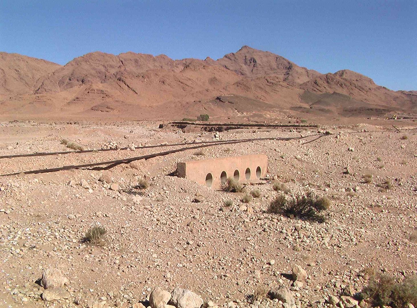
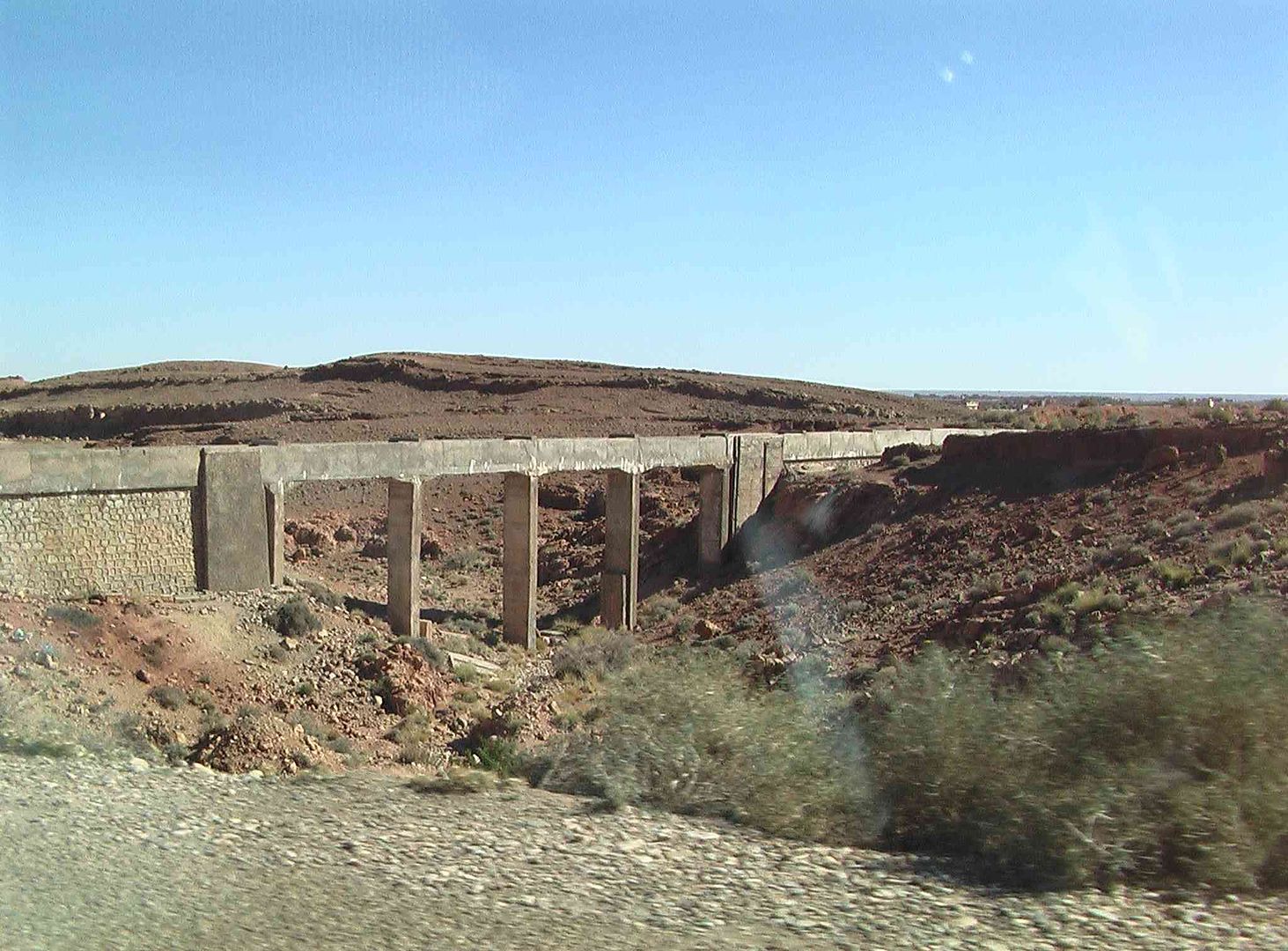
While we then see this disused section of railway bridge ..
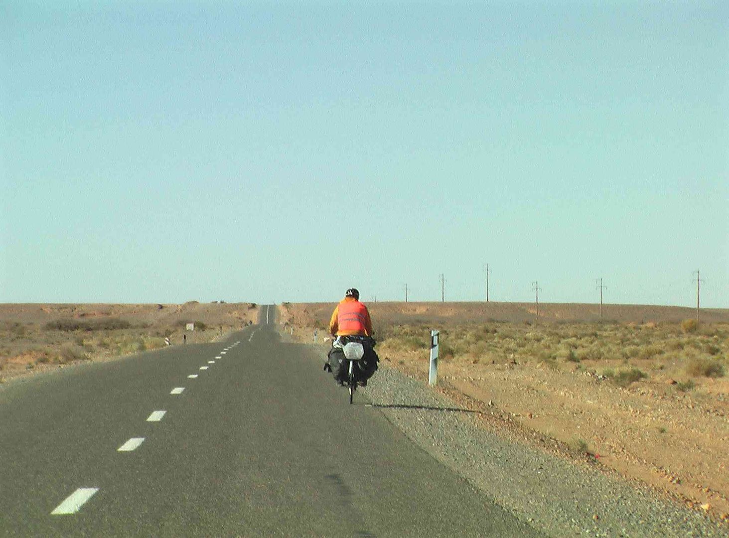
While this man was doing his tour of Morocco the hard way, but still had a friendly wave as we passed by! ..
Brightly coloured buildings at a Nomad camp ..
Another Nomad camp in normal tent ..
Flourishing tree, in a dark patch of soil that clearly contained water while other parts were quite dry
While this area not far away, was growing Palm Trees .
With some small cultivated sections growing herbs in on the other side ..
Now approaching Boudnib ..
Can you see it? (The small watch tower)
OK, so we made it bigger for those that had a small problem ..
Water filling station ..
While at the road T Junction is a Restaurant which was closed ..
T Junction Road Signs and another Water Well ..
However next door to the Restaurant behind the Bamboo Fence is a Berber Tent set up as a Café, so we took a break for Coffee and Soft Drinks as the temperature climbed to 22C .
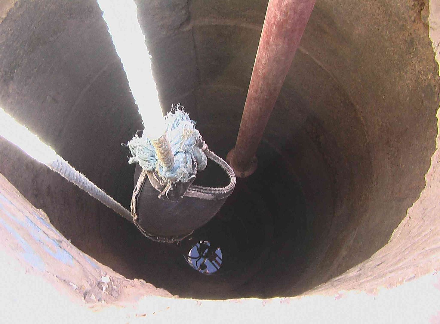
While going to have a look at the Water Well we find a Mains Electric Motor, driving a Long Rubber Belt to an Alta Pump, that screw lifts the water up the metal tube and out the pipe, while there is also a rope and bucket for smaller volumes .

And there is water at the bottom! Maybe that was used for the Coffee?
BUT it tasted good!.....
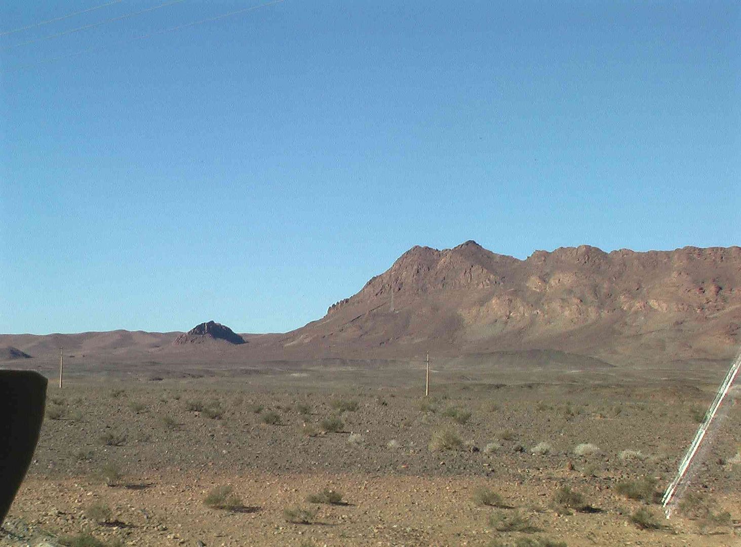
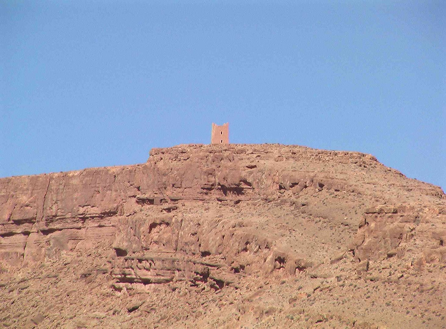
While on top of the hill on the right of the valley in front is another of those Watch Towers ..
Zoomed into and enlarged again ..
While further up the road is another small Nomad camp ..
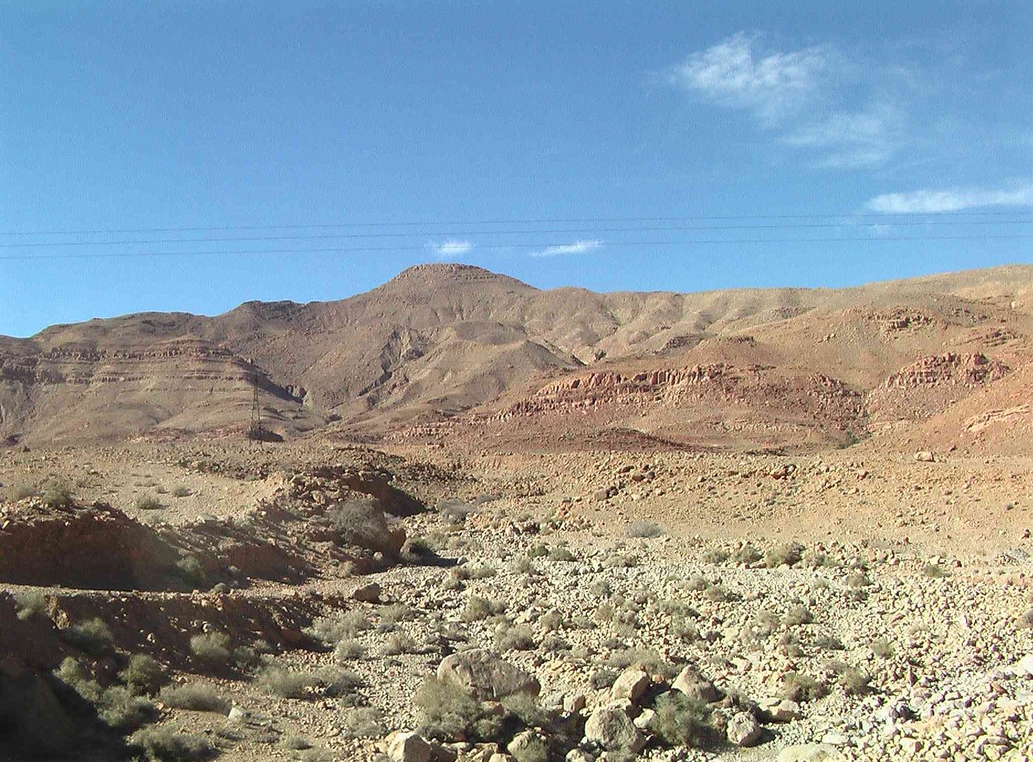
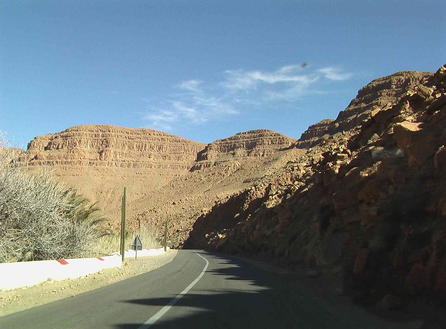
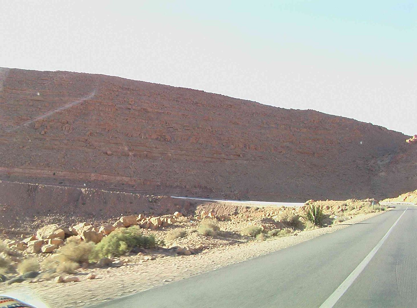
Swirling hillsides ..
Then as we pass more landscapes we see a variety of colours .
As we came past these mounds on each side of the road we saw a herd of goats ahead and a Lady looking after them who was asking for water by moving backwards and forwards from her mouth a small empty plastic bottle.
We stopped and I got a large bottle of mineral water and from it, filled her bottle for her, and as she said Shokran with the look in her eyes and the perspiration on her forehead I felt very humble, however as our friends has also pulled up behind in their camper I was gobsmacked when I later learnt that she went to them asking for cigarettes!.....
As we then came to Oasis de le Source Bleue de Meski I think we actually went a little faster, so we did not notice any bad odour from the amounts of garbage around ..
We then enter the outskirts of Er Rachidia ..
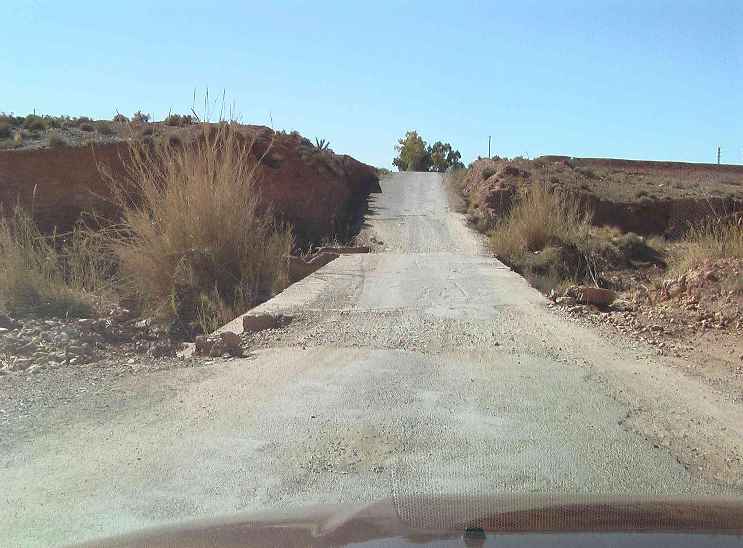
While in a short distance find we are on a back road around the city which is quite narrow .
While as it goes across a river bed gets quite bumpy, and steep, both in and out
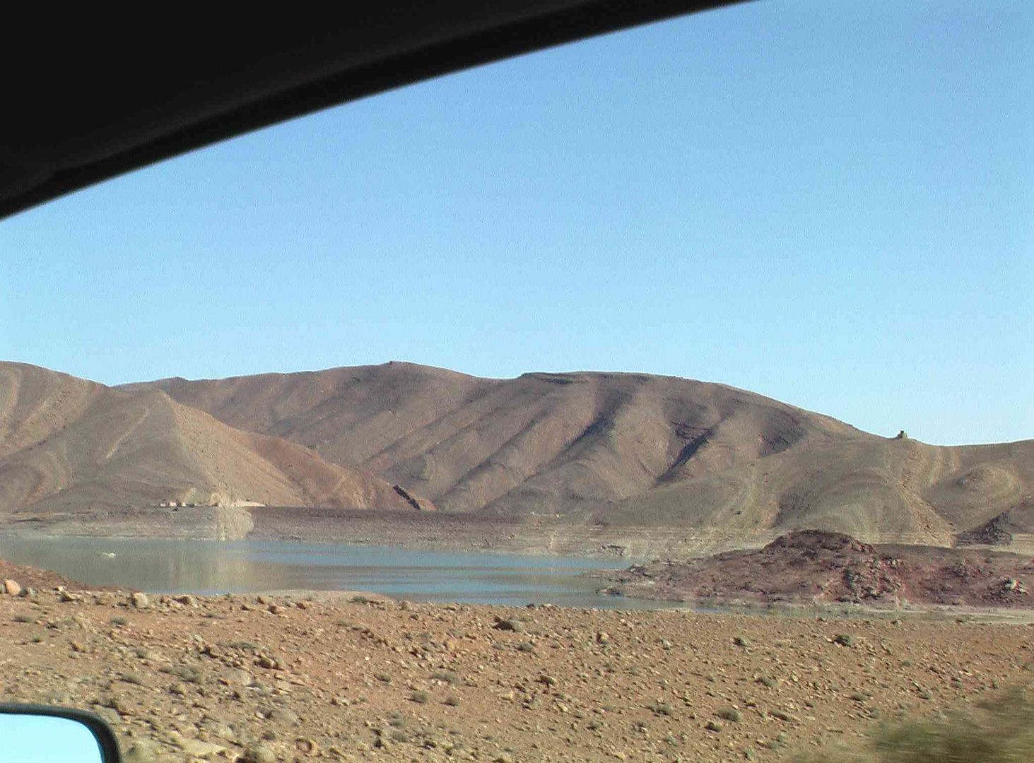
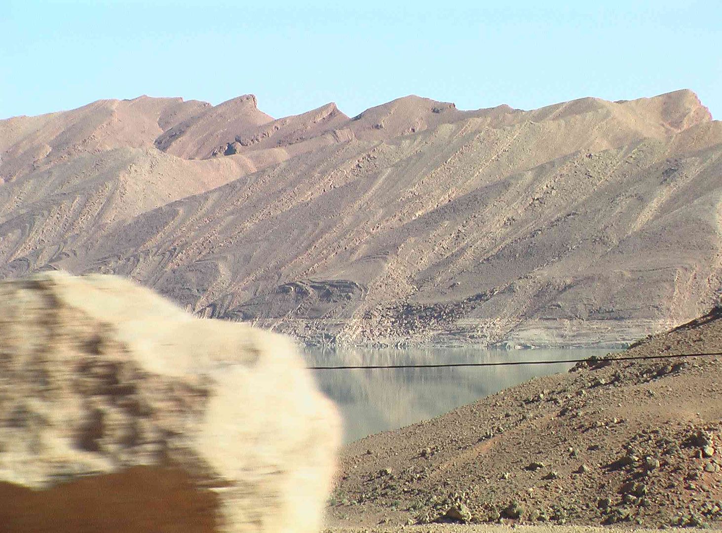
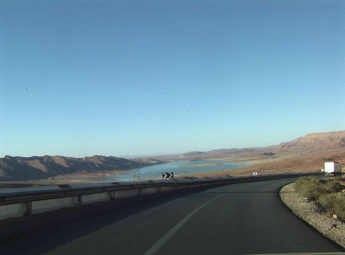
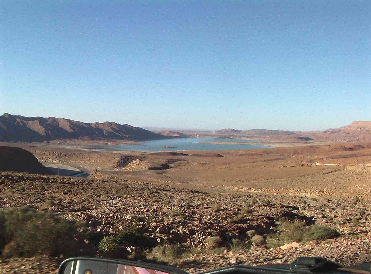
As we then pass an outlet for a large Barragem which we saw later had a lower water level than last year .
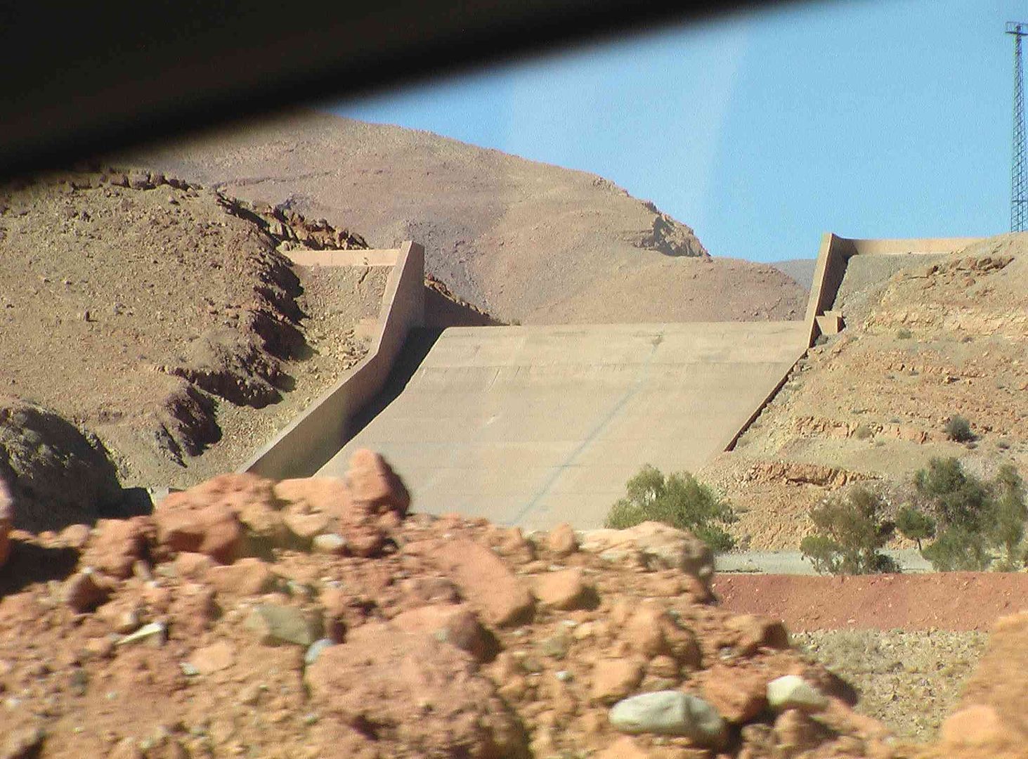
Water viaduct ..
While the Army Truck in the next picture was also there last year, directly across the road is the Liquid Petroleum Gas Bottle Depot, where we think they also refill the bottles ..
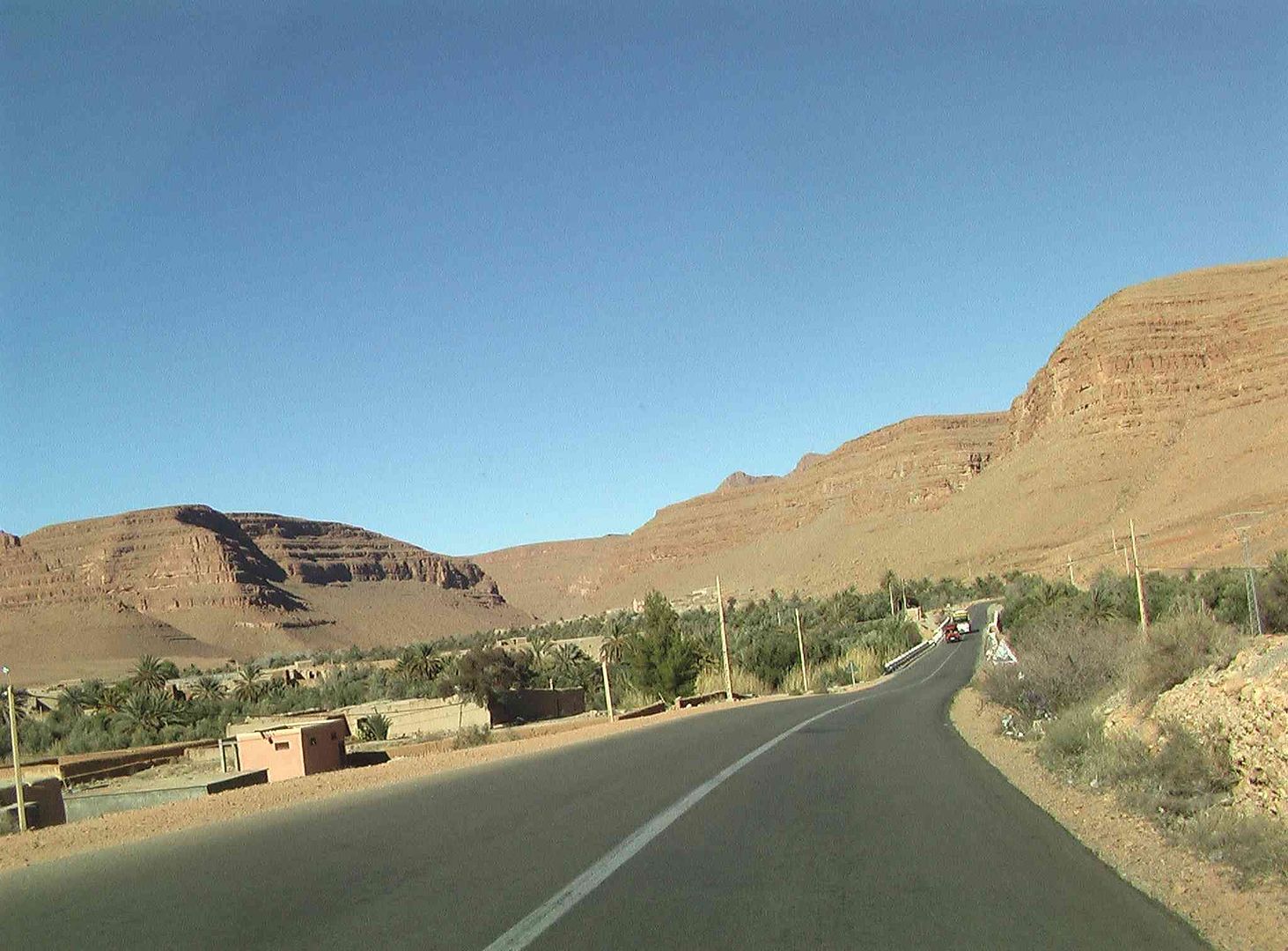
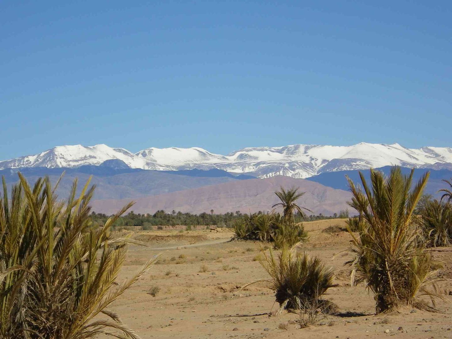
Now comes the scenery on the road to the next campsite, which we thought was quite stunning ..
The Barragem (Reservoir)

Very glad we did not meet this as we came along the narrow road .

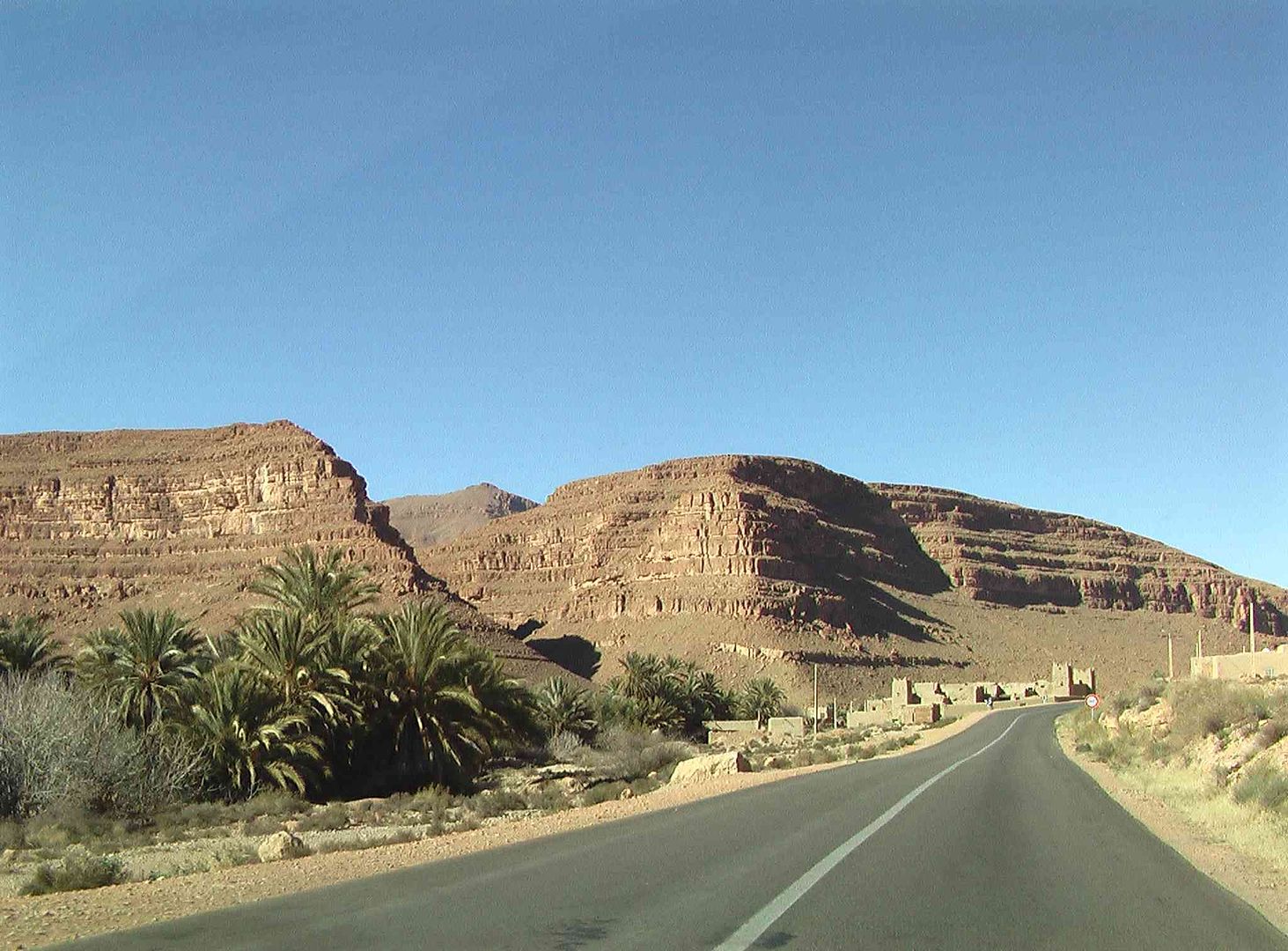
Dates for sale still on the stalks from the Palm Tree .
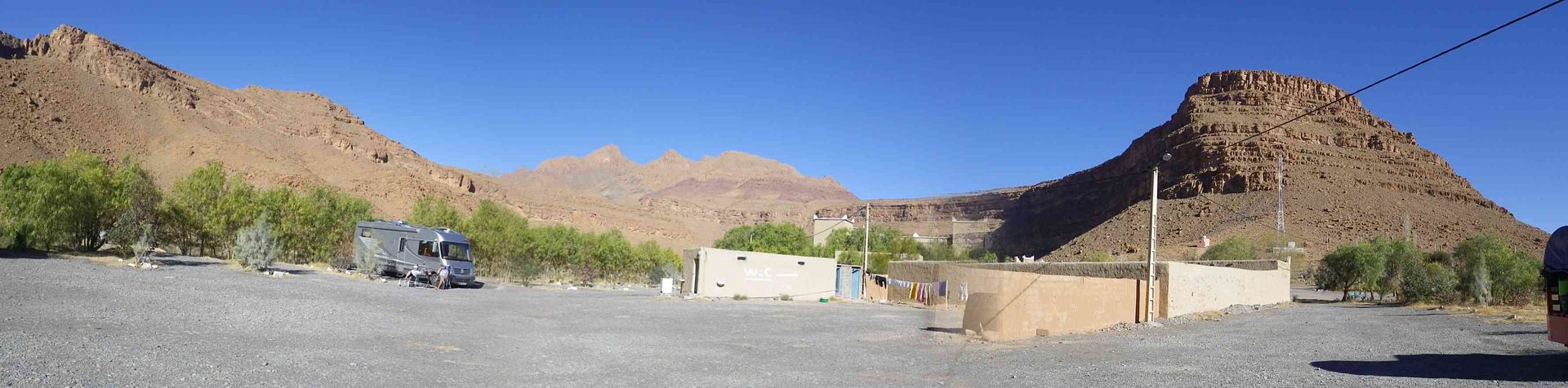
Campsite Panorama ..
Sunset colour changes ..
tisbah `ala khair (Arabic Good night)
-
01-29-2014, 07:05 AM #95
Senior Member
- Join Date
- Nov 2009
- Location
- South Wales UK
- Posts
- 1,901
Stage 31A A lazy day doing very little North of Er Rachidia
Salam Alikam
Last year when we stayed at this campsite, the night was that cold that we had the electric fire on one bar (400W) all night, this year it was that warm we nearly got rid of the duvet! .
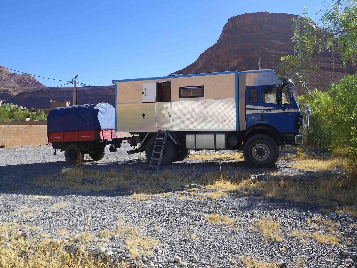
Off this morning from the campsite heading to the Desert was this Truck which currently carries 1550Litres of Diesel Fuel (Thats 340 UK Gallons! Or 409 US Gallons) in 2 Tanks, one on the truck (600Ltrs) and the other (950Ltrs) in the trailer, mind you the truck has an 8 Cylinder 8 Litre engine to roll along with, and is a 4x4! .
The Consumption is 7.3Mpg (UK) or 6.07 Mpg (US)!
I think the Bank Manager was gagged & chained up inside then only let out when they visited a Fuel Refill Station
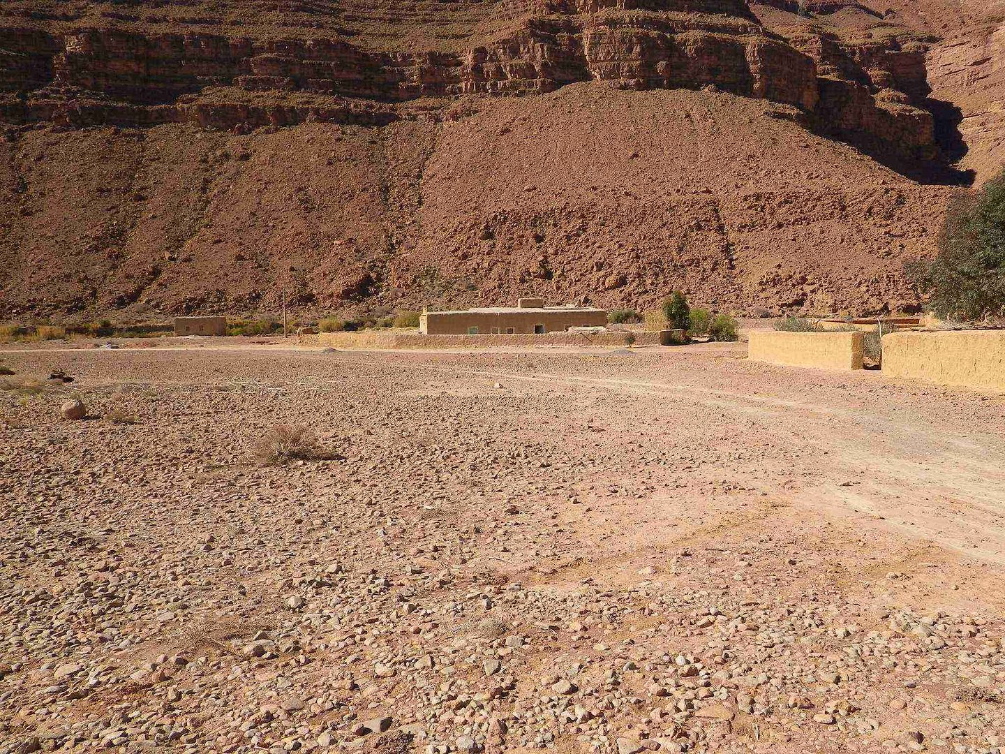
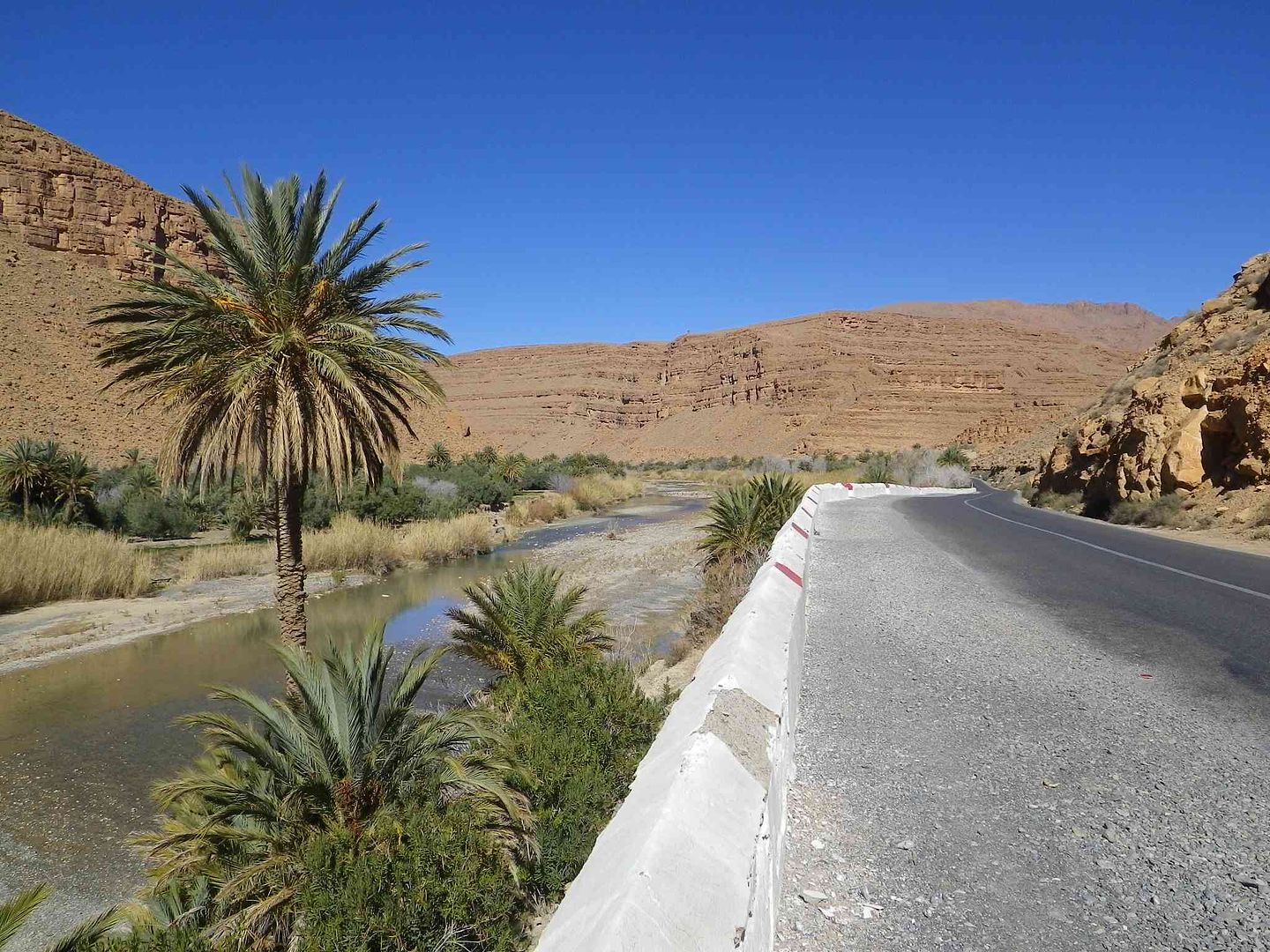
After a bit of maintenance on the Tin Tent we decided to head off along the river for a nice stroll passing through a couple of the roadside villages along the way covering around 6 miles in a round trip, so here are the pictures ..
At the front of the campsite the Prehistoric Monster still sits patiently waiting for a friendly pat on the back, while we think it might have been given a new coat of mud .
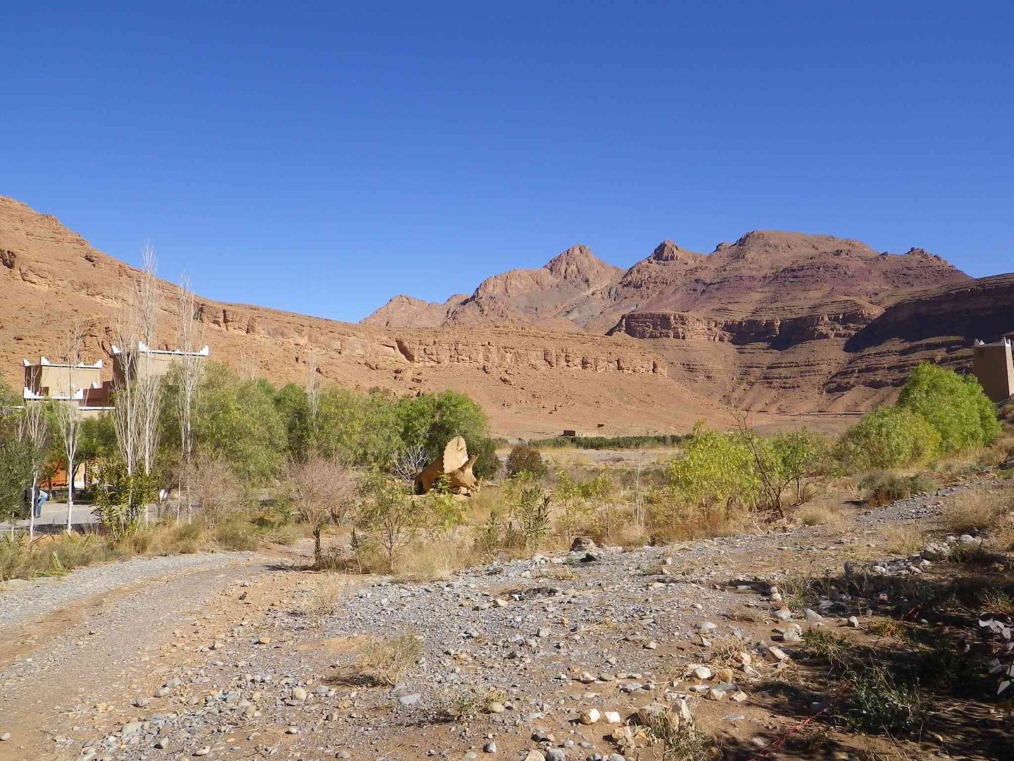
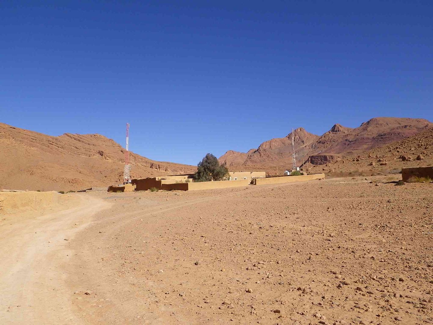
Looking back towards the campsite from the entrance ..

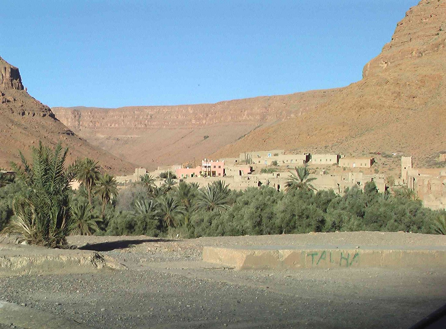
While close by we start to get into and pass through the first little village .
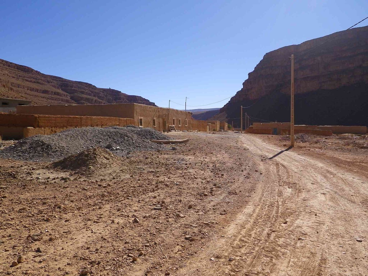
While at the side down close to the river are the small fields of vegetation. ..
At the end of the small village we find the track (Thats it in the middle of the picture, the bit with less stones on!) and off we go into a bit of the Palmerie ..
Which we get through and make our way down to the edge of the river, passing more little growing areas .
While a little bit back up the bank is this irrigation channel .
Providing water to more small patches of land for vegetables which on the right are Broad Beans .
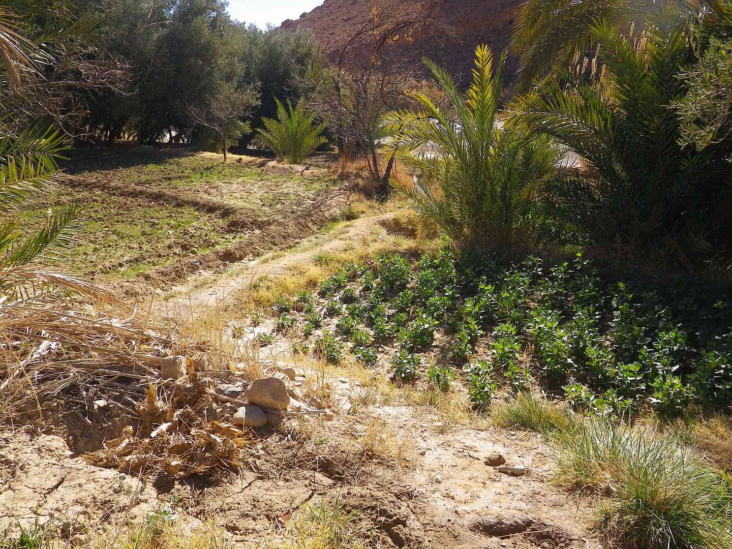
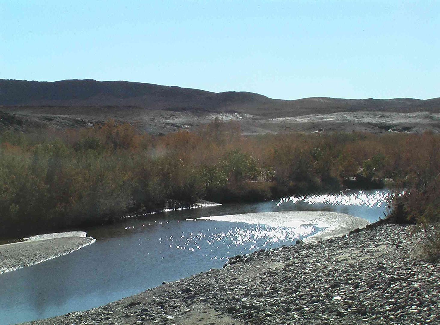
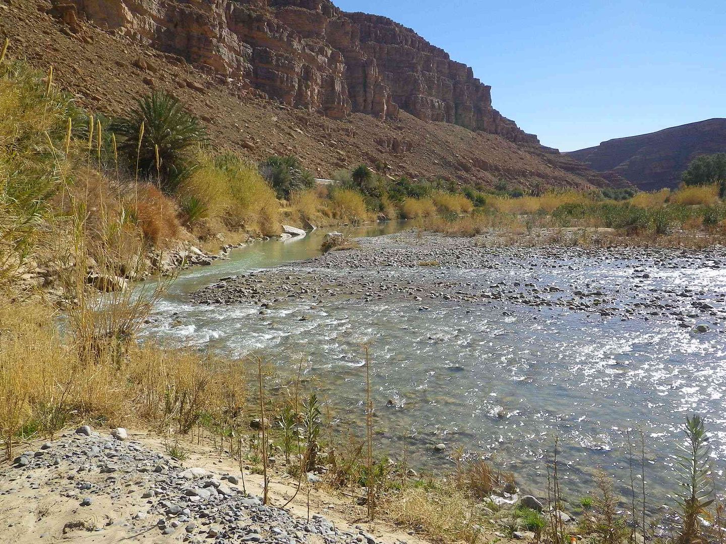
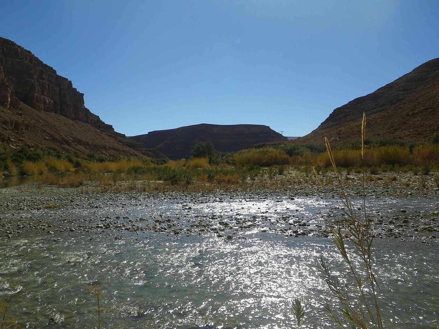
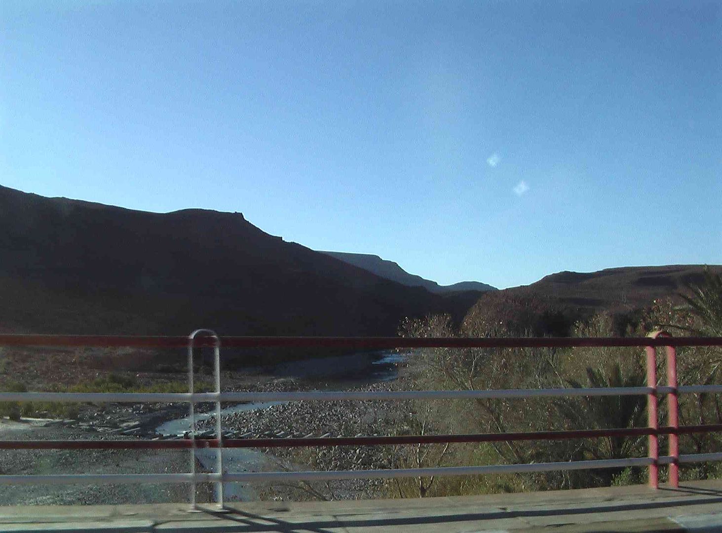
Then we finally get down on the river bed. .
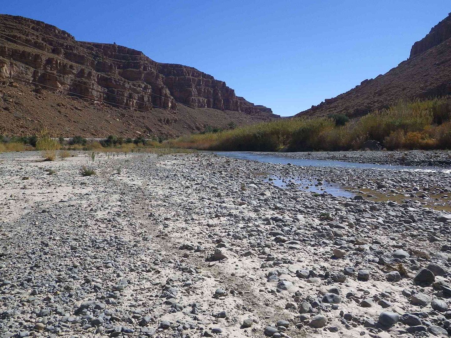
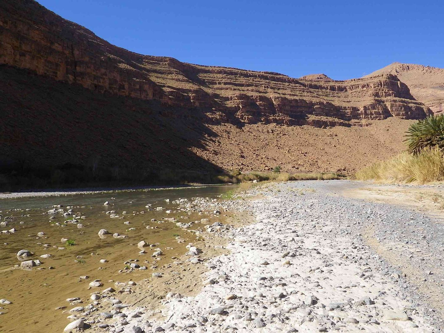
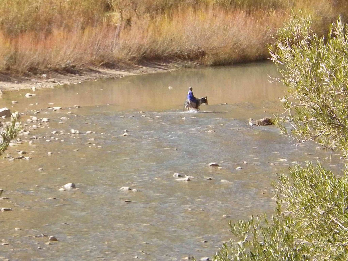
As we came to the bend in the next picture we found that unless we took our boots and socks off we were not going to get over to the other side .
As we saw this man and Donkey do a bit later on ..
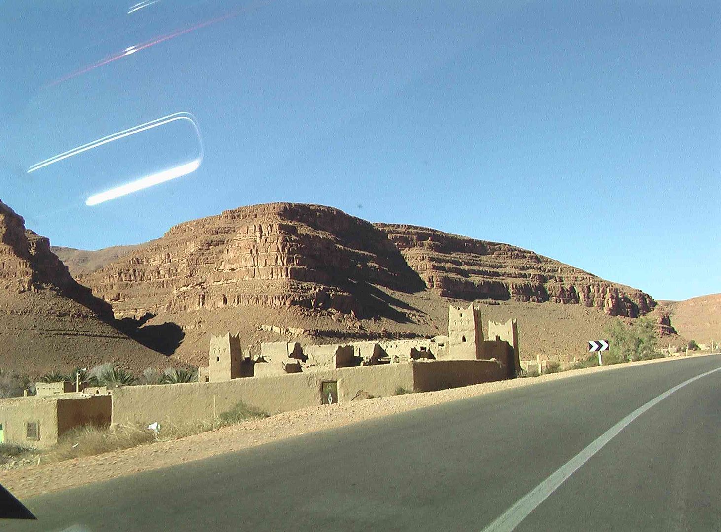
So we started the climb back up to the road
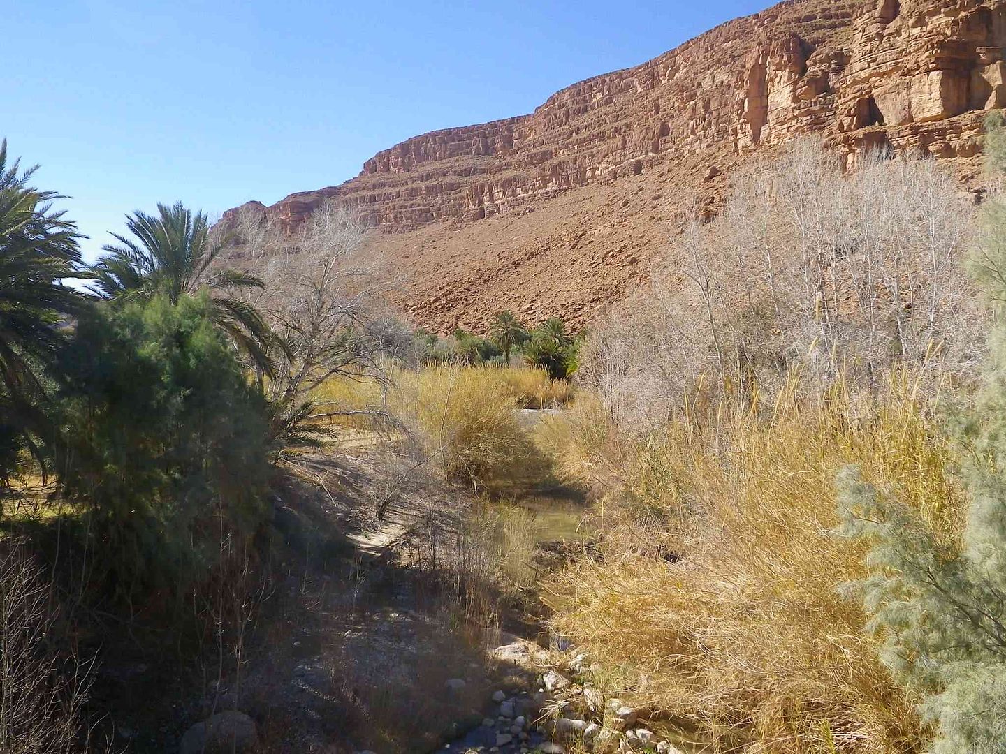
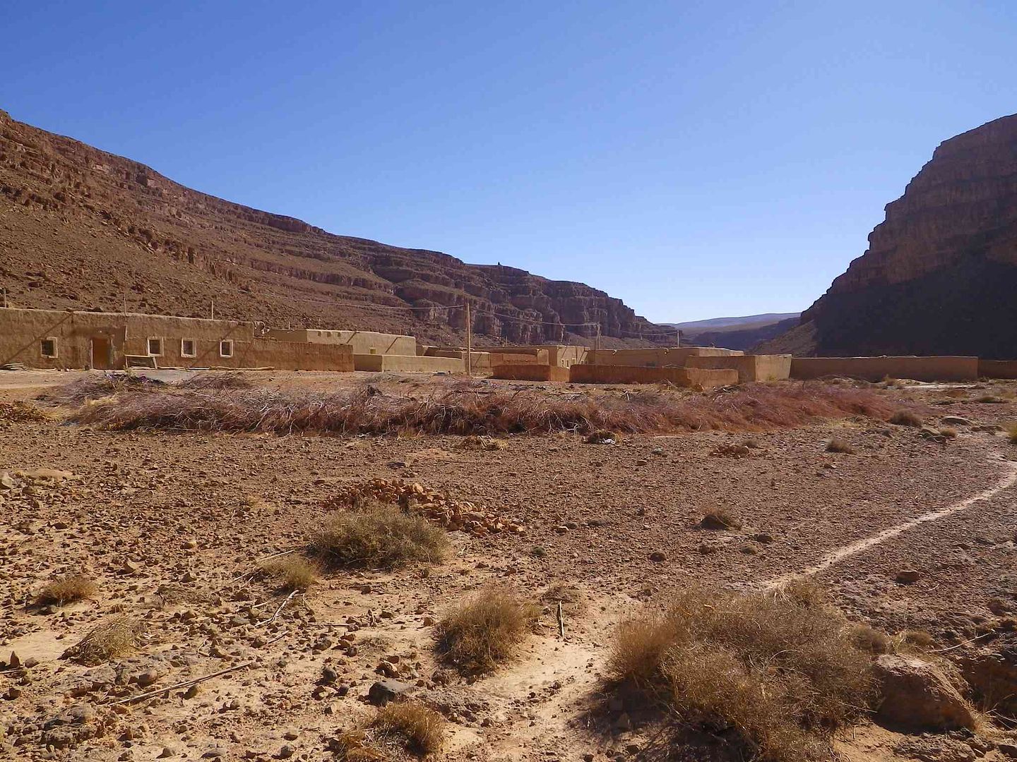
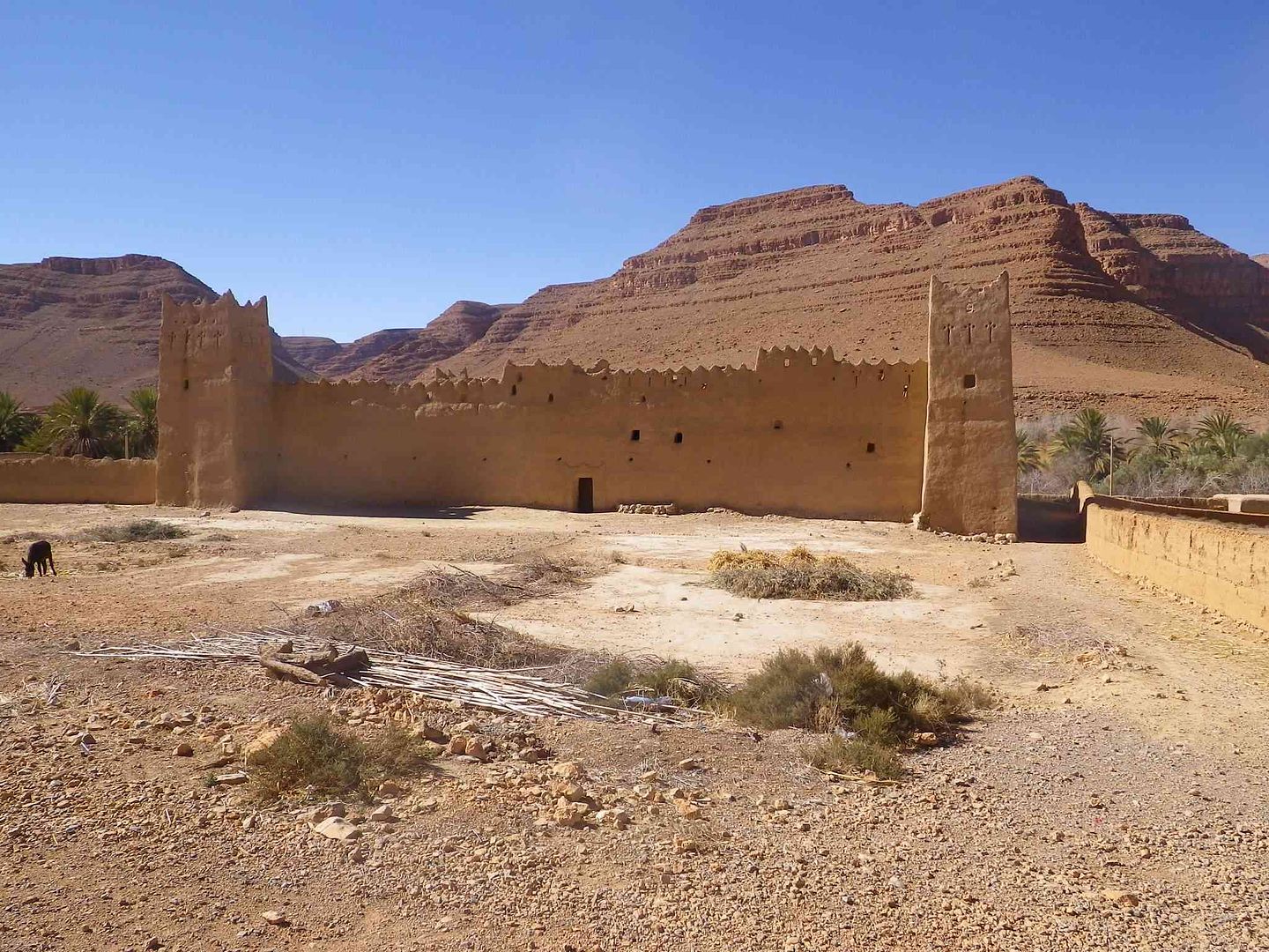
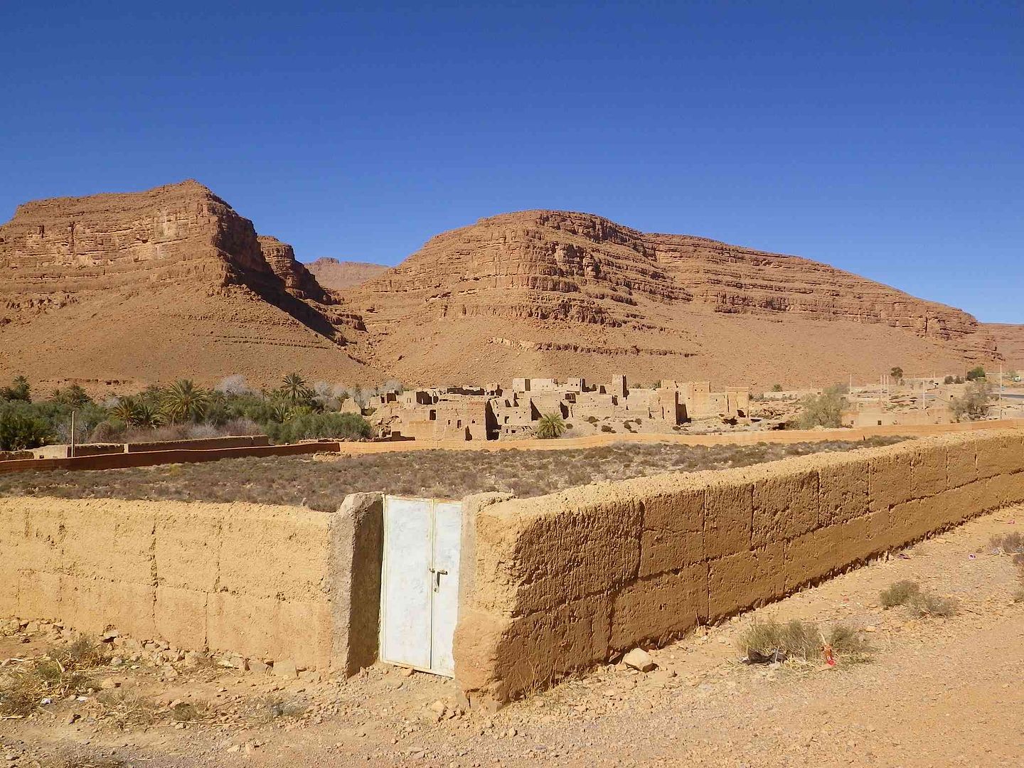
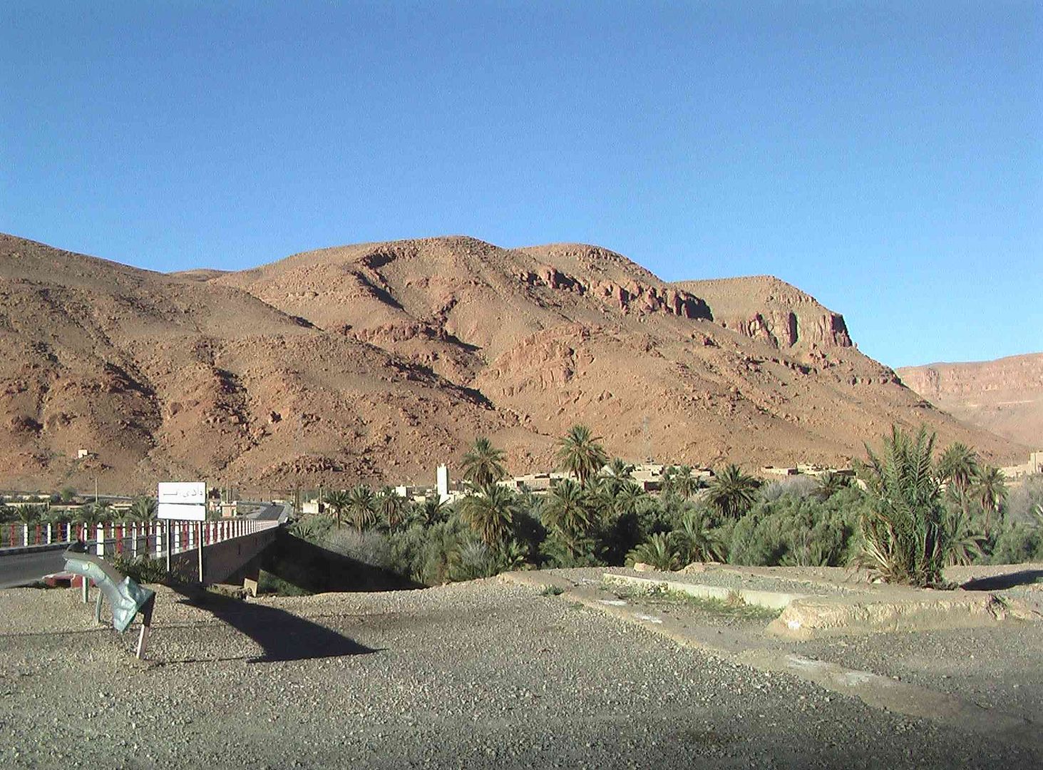
Which brought us to this bridge and old Kasbah ..
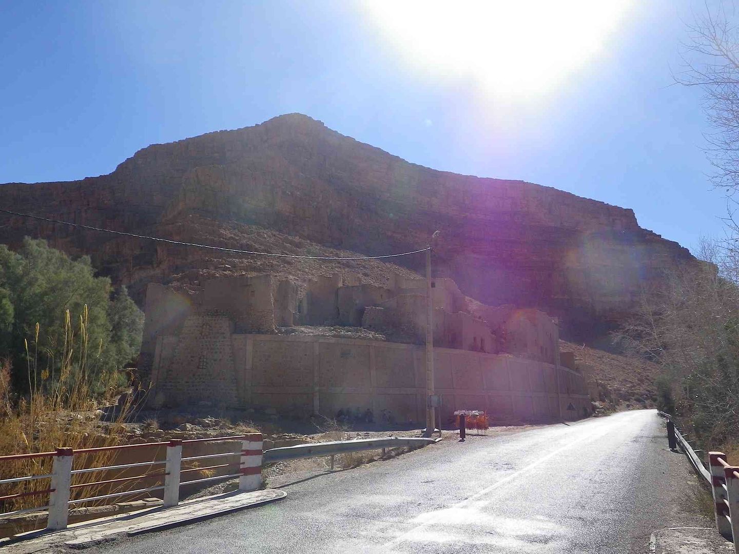
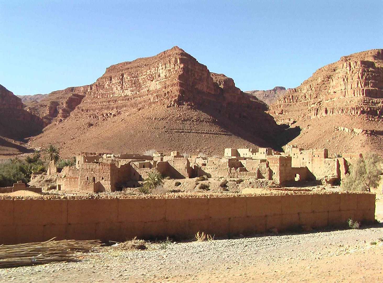
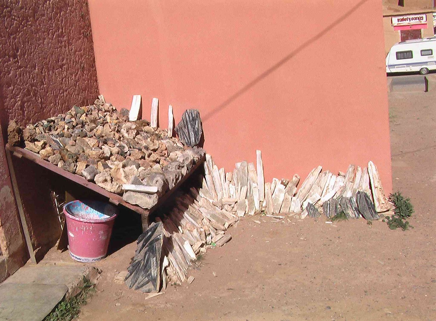
Then on to another small village with all the firewood stacked behind the dry-stone wall .
In front of the buildings just off left and to right of centre in the next picture are bundles of Bamboo which is grown along the river bank and used for all sorts of things like fencing, roofing, food for Donkeys and fuel for the fires ..
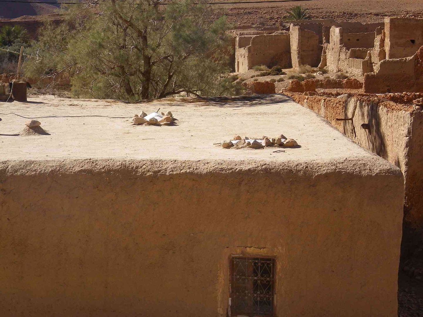
Dont think this was another old Kasbah as the one door is quite small, but it seemed to be in good condition ..
Interesting use of pieces of plastic held in place with rocks and used for Roof Windows, as there are not many windows in the walls of a house, while very few have glass fitted
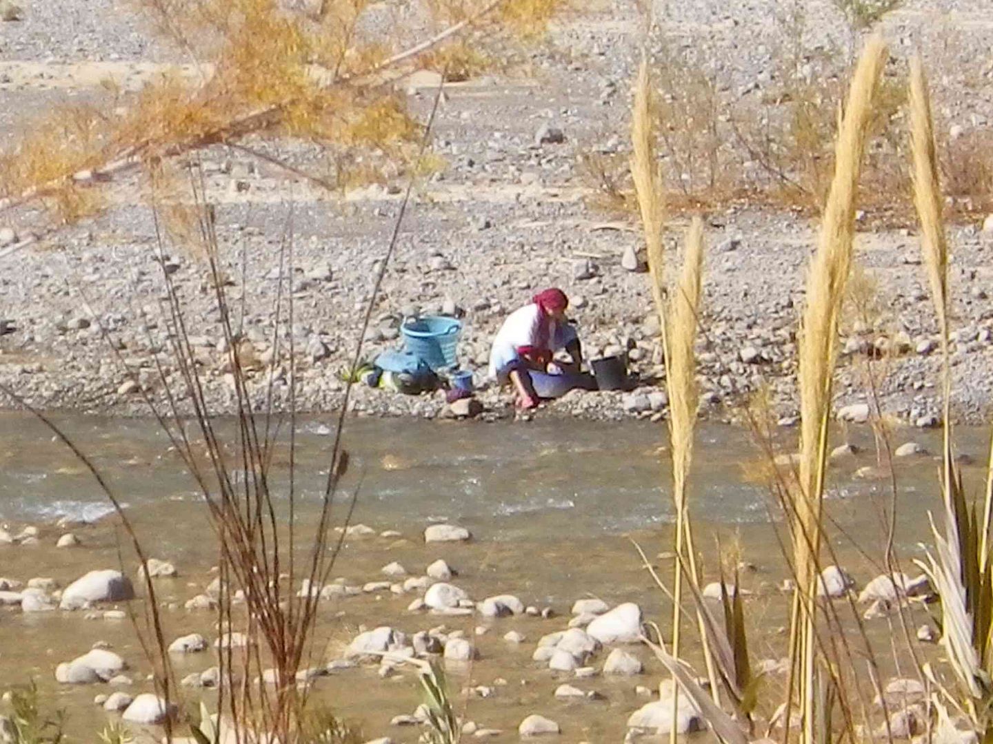
As we had reached the end of the nearby villages we turned around to go back to the campsite and spotted this lady on the far side of the river doing her laundry .
Then as we walk along the road above where we walked along the river bed, we see this new metal pipe being installed. Held in place on the wall be a series of metal bars with twisted wire to stop it moving and pieces of wood that also held it up ..
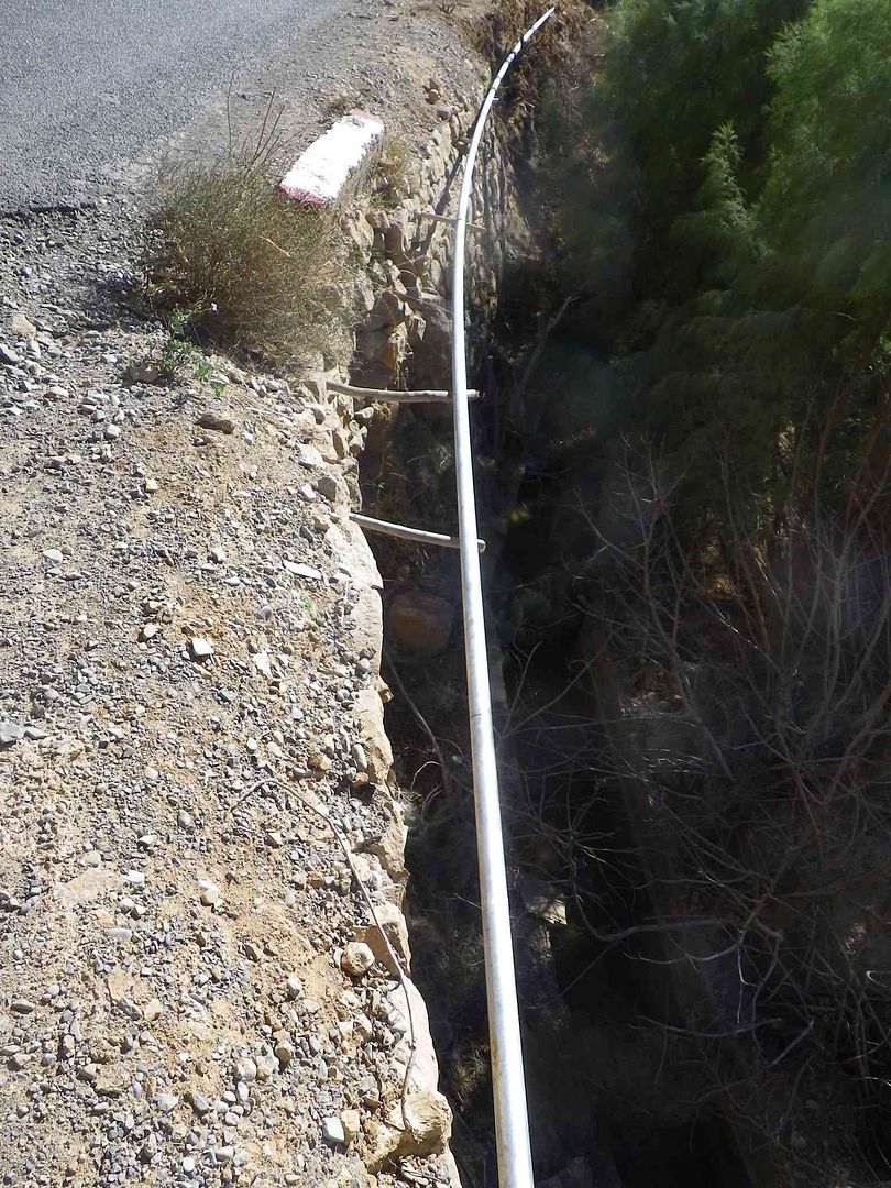
Joined together ..
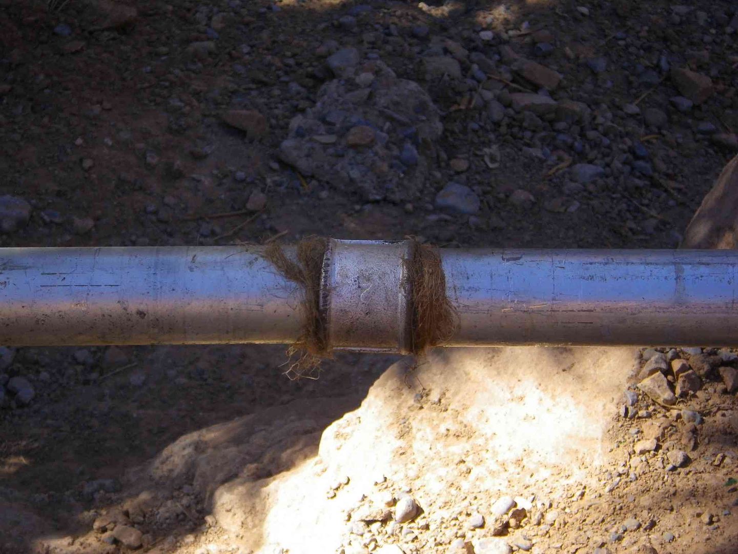
While a bit further on we see the 3 men who are digging the trench at this point to lay the rest of the pipe in .
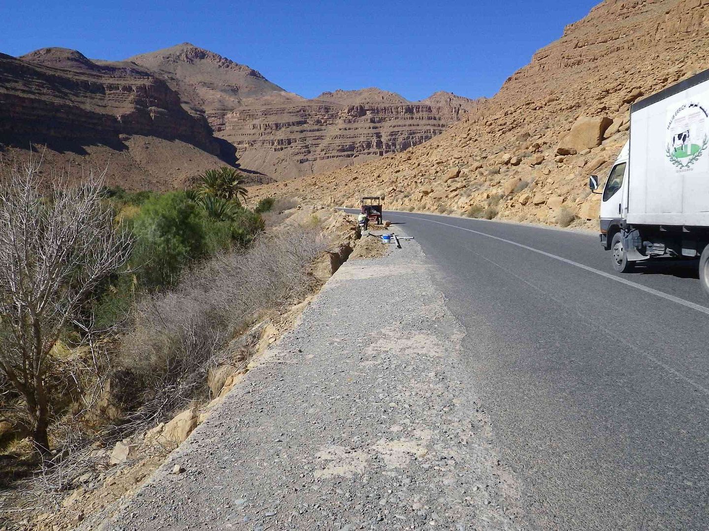
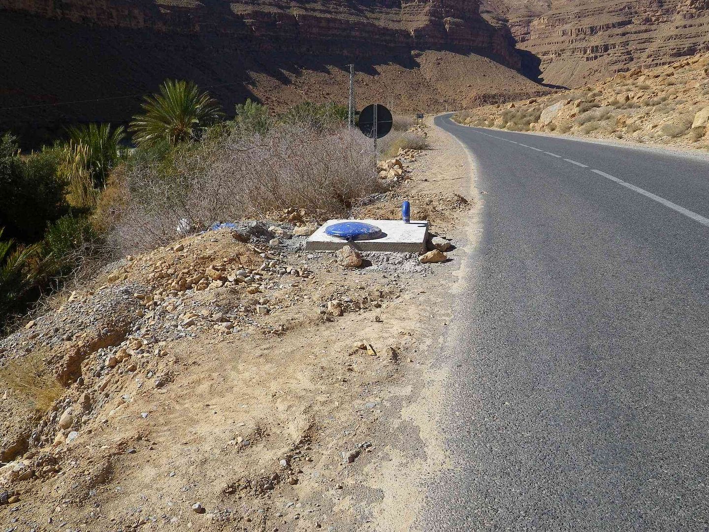
As we ask what it is for, we learn that it is a new Potable Water pipe that will connect up to the pipe under the blue cover in the next picture and bring fresh water to the villages we have just walked past, so in 2014 they will for the first time have a fresh water supply! .
Off tomorrow to Gulmima and I hope to be able to upload yesterday and todays Stages as Maroc Telecom for Internet is non-existent at this campsite, and there is no Wi-Fi either ..
tisbah `ala khair (Arabic Good night)
-
01-29-2014, 09:37 AM #96
Senior Member
- Join Date
- Nov 2009
- Location
- South Wales UK
- Posts
- 1,901
Stage 32 North of Er Rachidia to Gulmima
Salam Alikam
Having gone the 20+ miles North of Er Rachidia to Camping Jurassic, it is now time to return along that road and then turn right going West to get to Gulmima.
So out the campsite, turn right, back through the little villages we walked to yesterday and then to this larger village that sits on the riverside .
While the throaty Growl comes out of Flamenco Red as we start to climb the next hill ..

With a nice view down into the valley below. ..
The over the top, around the bend and the Reservoir is there in front .
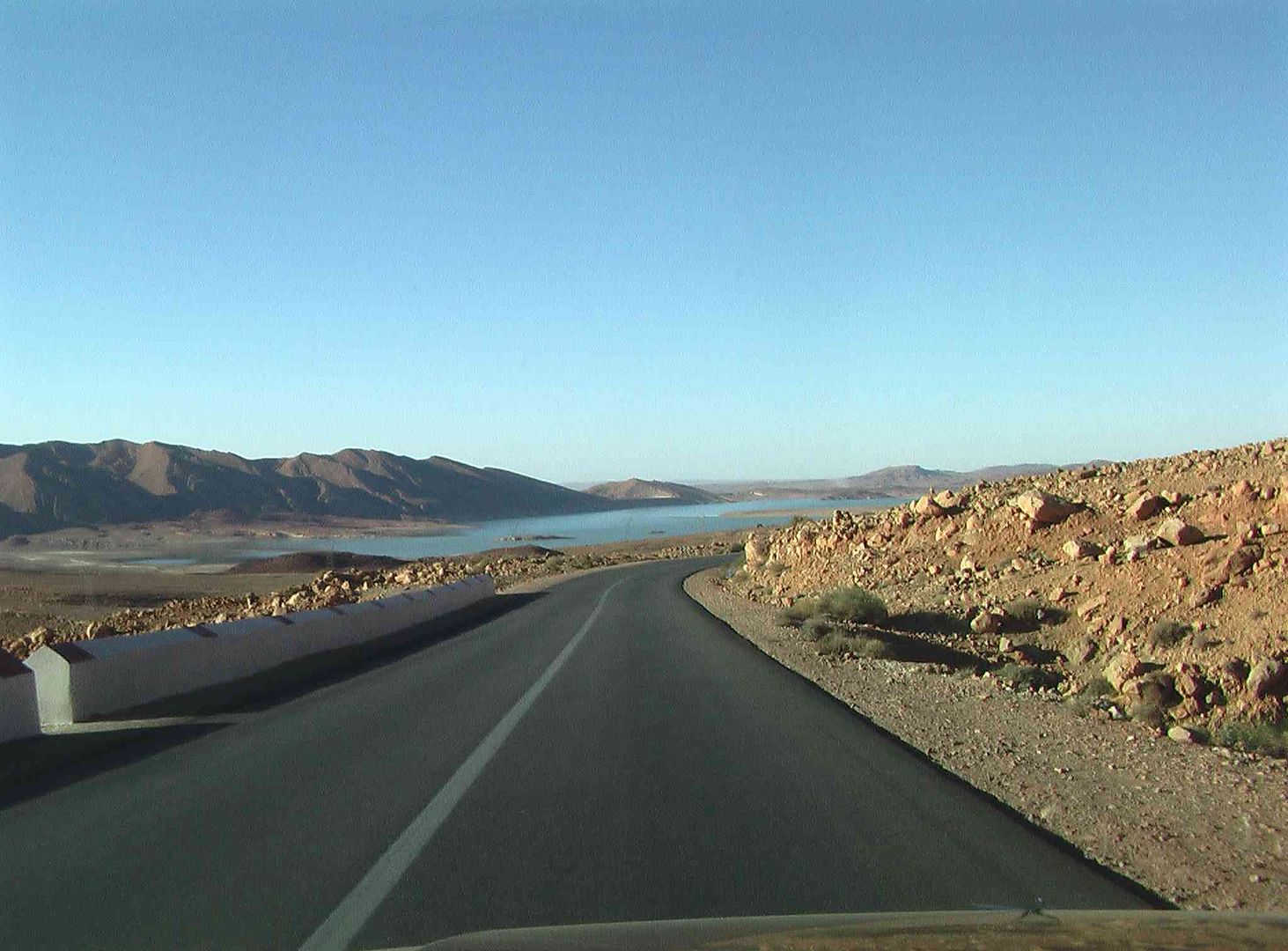
As we then sweep around the next bend and the road slides away into the distance .
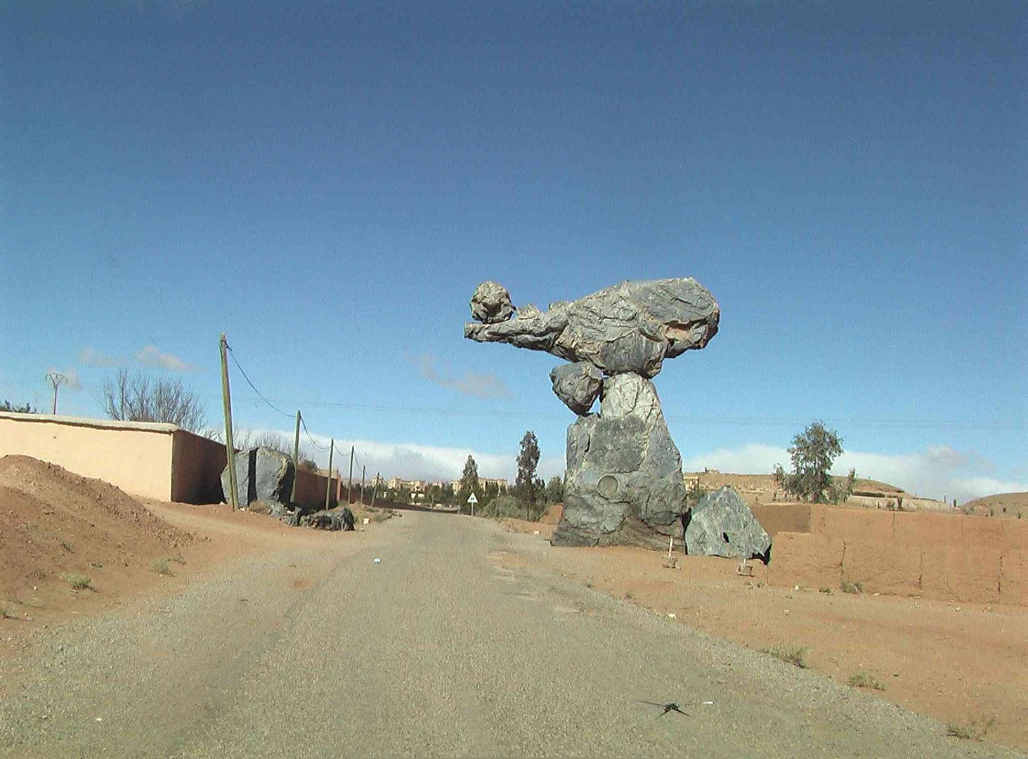
While this hunk of rock in the distance, as we come around the next bend, reminds us a bit of Ayers Rock (Uluru) in Australia .
Then we are on the main road into Er Rachidia. .
While its not long and we are through and back in the countryside, but the road surface is not as flat or wide, so we have to be aware of large vehicles coming towards us and how much of the road they take up ..
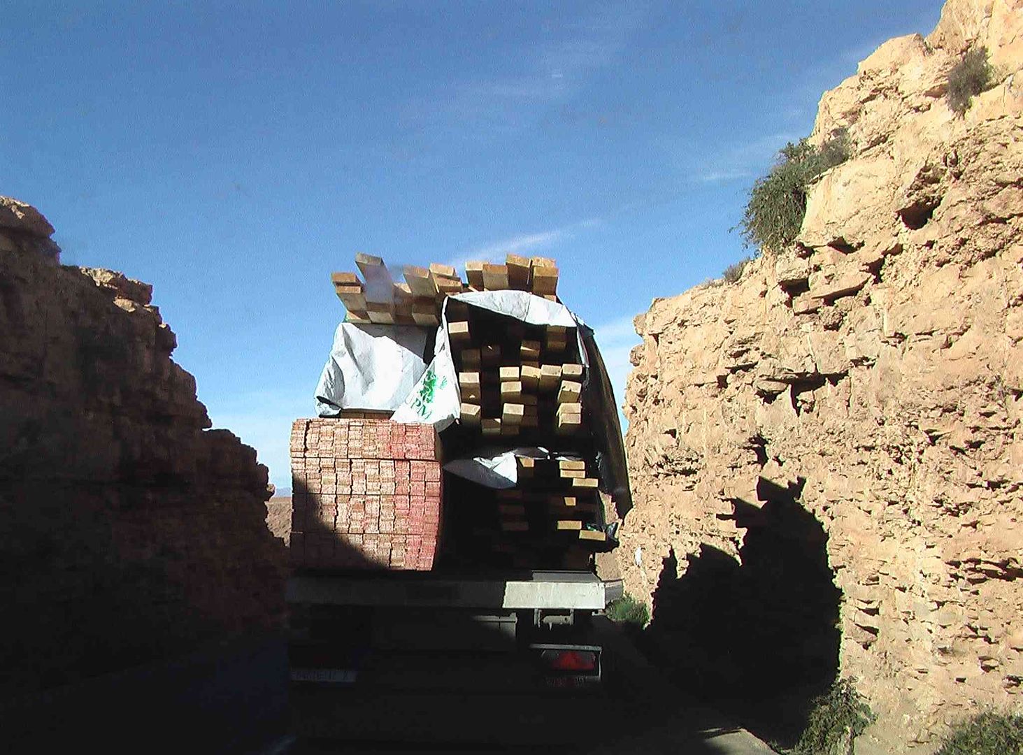
As you can see as we catch up with this Truck loaded with timber ..
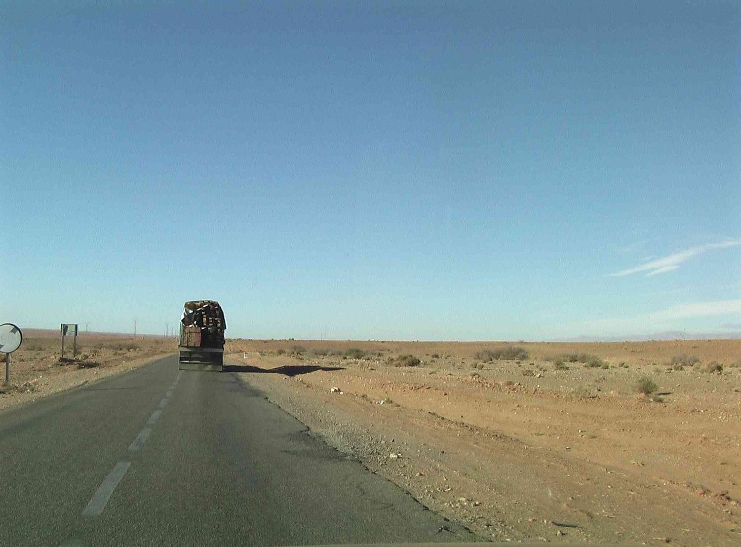
We follow this Truck for nearly all the trip to Gulmima getting quite close as it gets stuck behind another 10 Tonne Truck that is loaded with rocks, and struggles even more to climb the hill that we are on, then when we get over the top slows right down as he appears to have very limited braking ability!
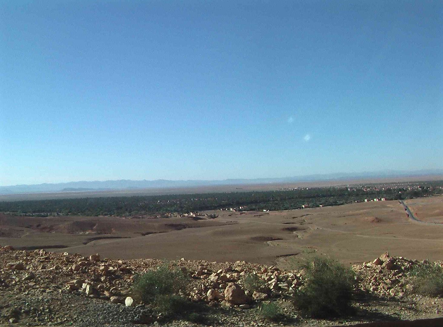
As we get over the top we see Gulmima down below ..
So as the Timber Truck, gets around the Rock Truck, we get around both and have a nice clear road down the hill ..
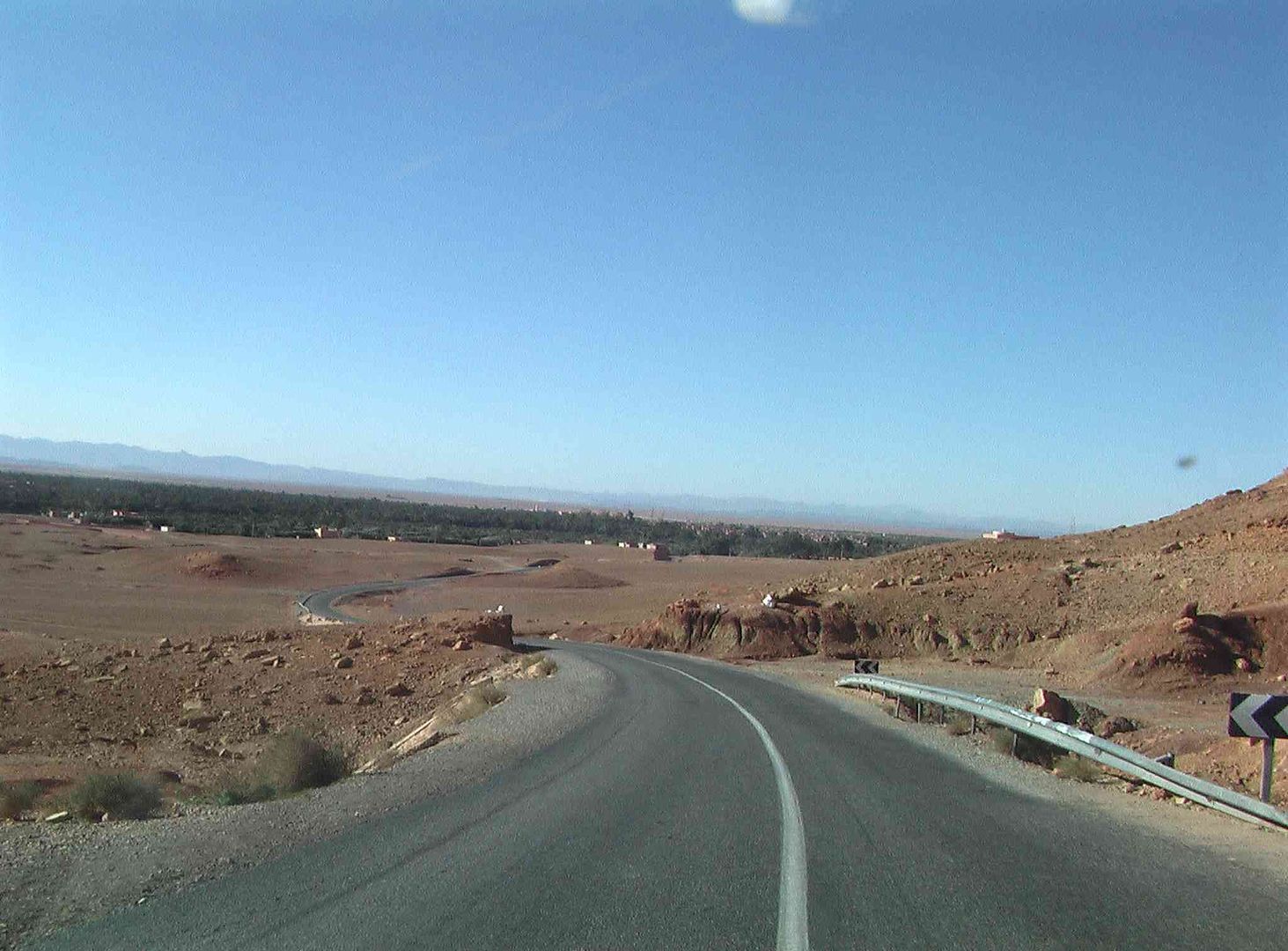
Then enter the outskirts of the town ..
From memory this next road looked like this last year with the roadworks speed limit signs in place ..
Bear right at the junction ..
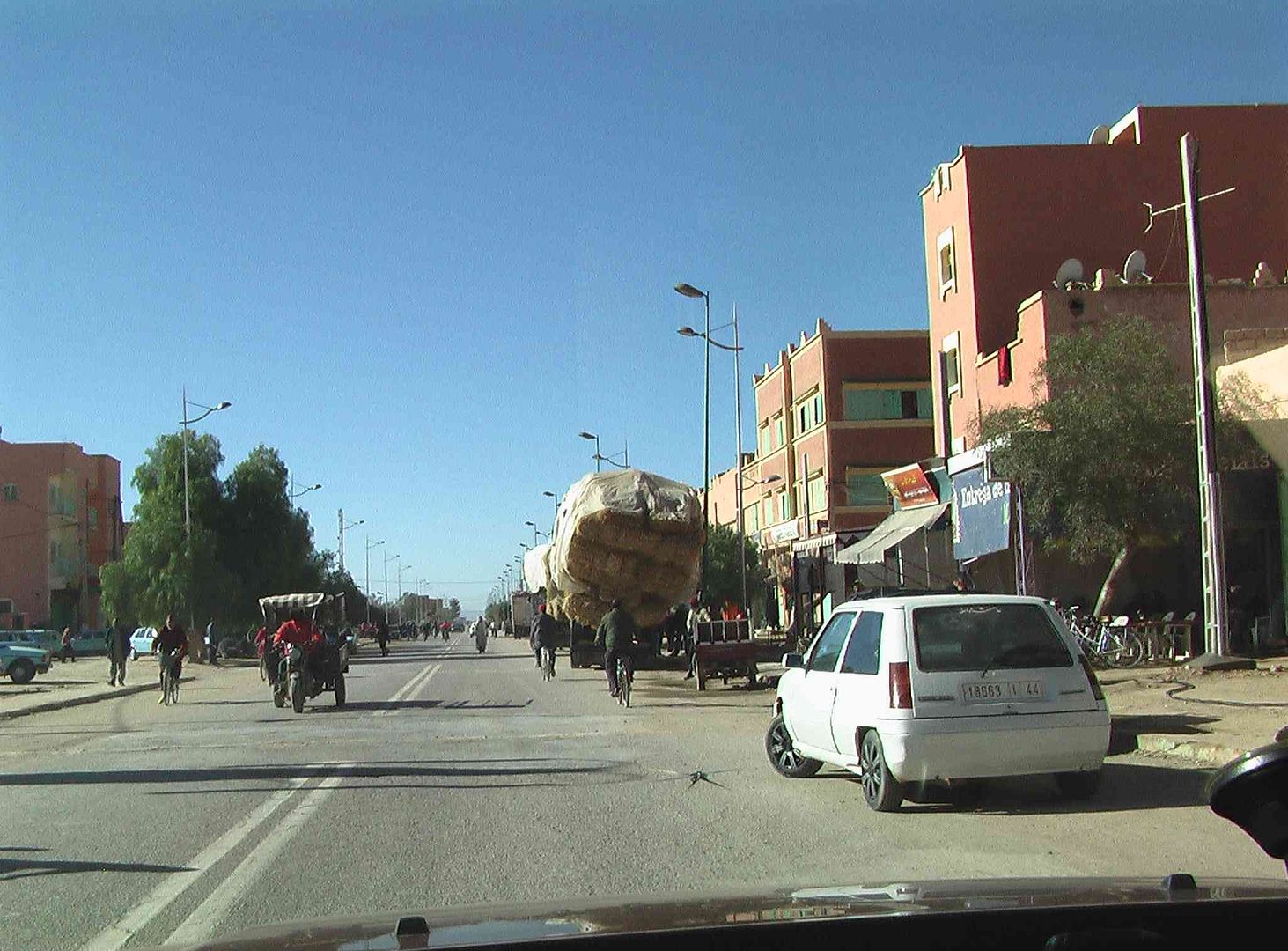
Then we are on the main road through the town, ..
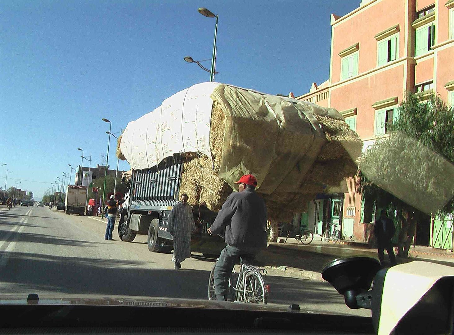
With Pedestrians, Cyclists & Cars all over the road and a Hay Load that looks decidedly dodgy!.....
While the one in front looks OK ..
Another couple of hundred yards and we make a right turn to the campsite entrance .
Then later this afternoon it went dark overhead and the little pitter patter started on the roof of the Tin Tent as the rain came down!
While now it's 'Hissing Down' YUK!
tisbah `ala khair (Arabic Good night)
-
01-30-2014, 02:34 PM #97
Senior Member
- Join Date
- Nov 2009
- Location
- South Wales UK
- Posts
- 1,901
Stage 33 Gulmima to Kalaat M'gouna (Campsite Closed) so went on to Skoura
Salam Alikam
After a blustery night last night, while the rain thankfully stopped it was back on the road today for the next stage, which didnt quite work out as planned .
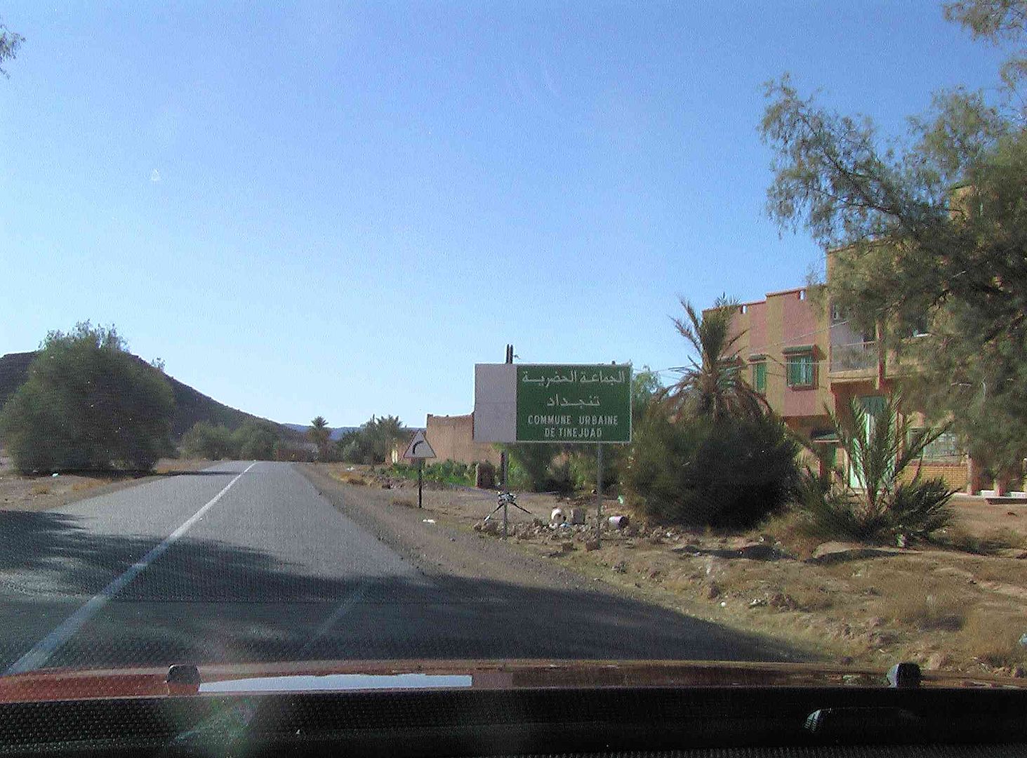
As we left Gulmima the first place we come to in Tinejdad ..
Passing a Post Office with this nice water fountain outside, but sadly no water
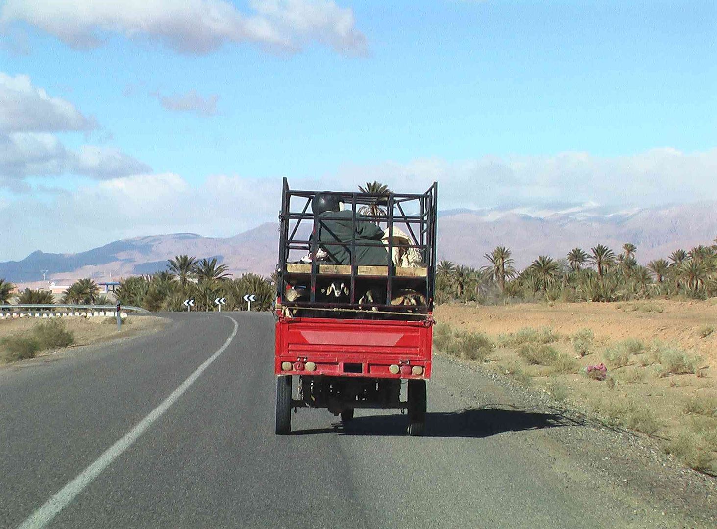
As we followed this 3 Wheeler with a lady in the back and what looked like her groceries ..
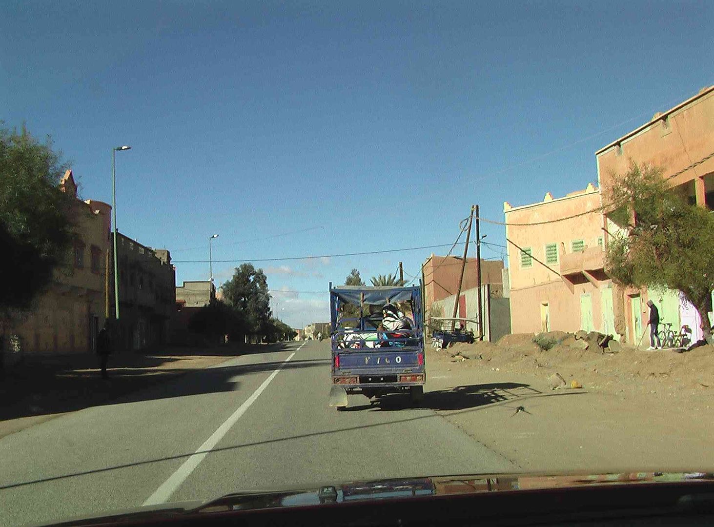
While a bit further on we come up to another 3 Wheeler with the Goats on the lower floor and a passenger on the first floor complete with crash helmet on .
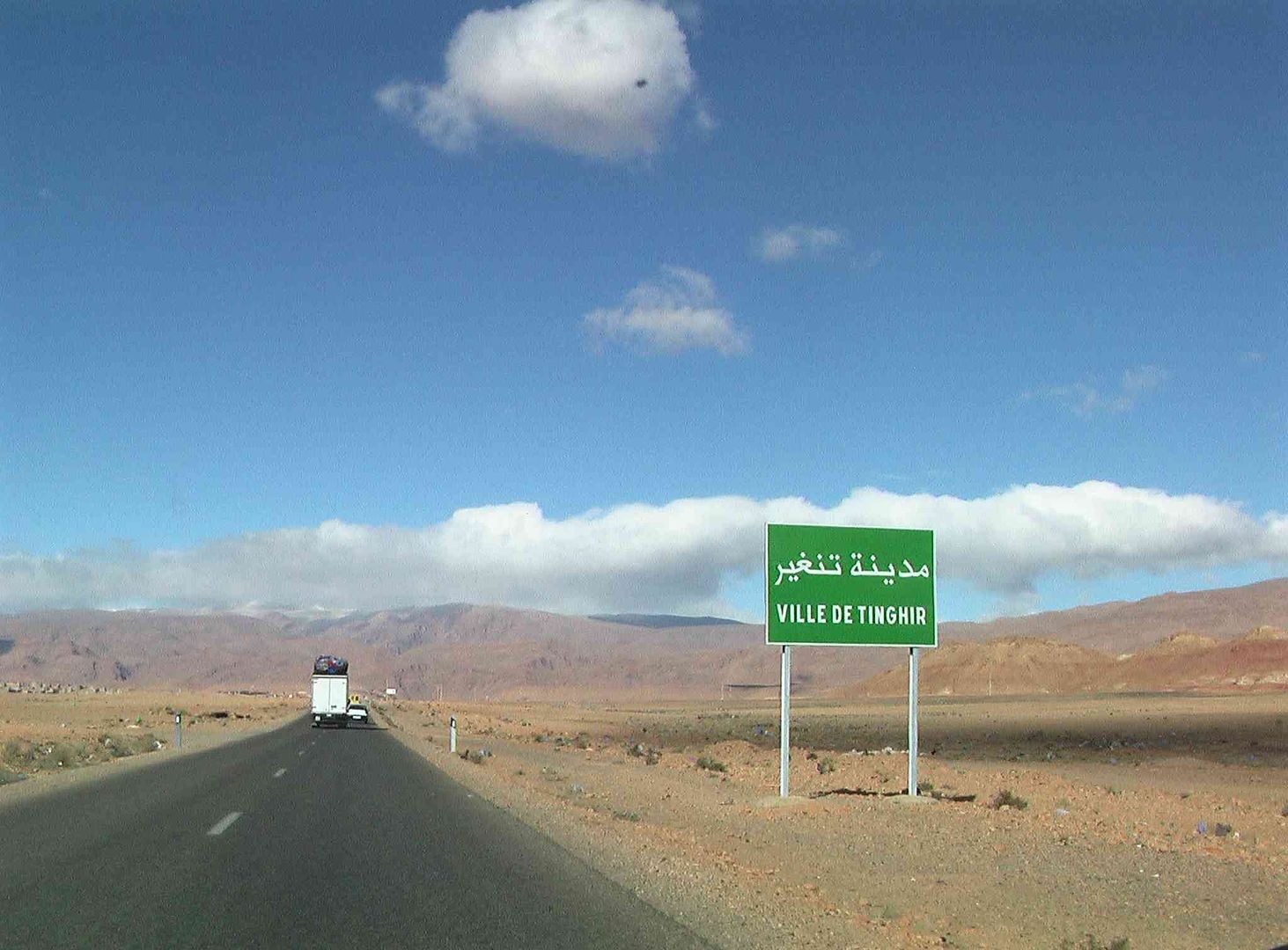
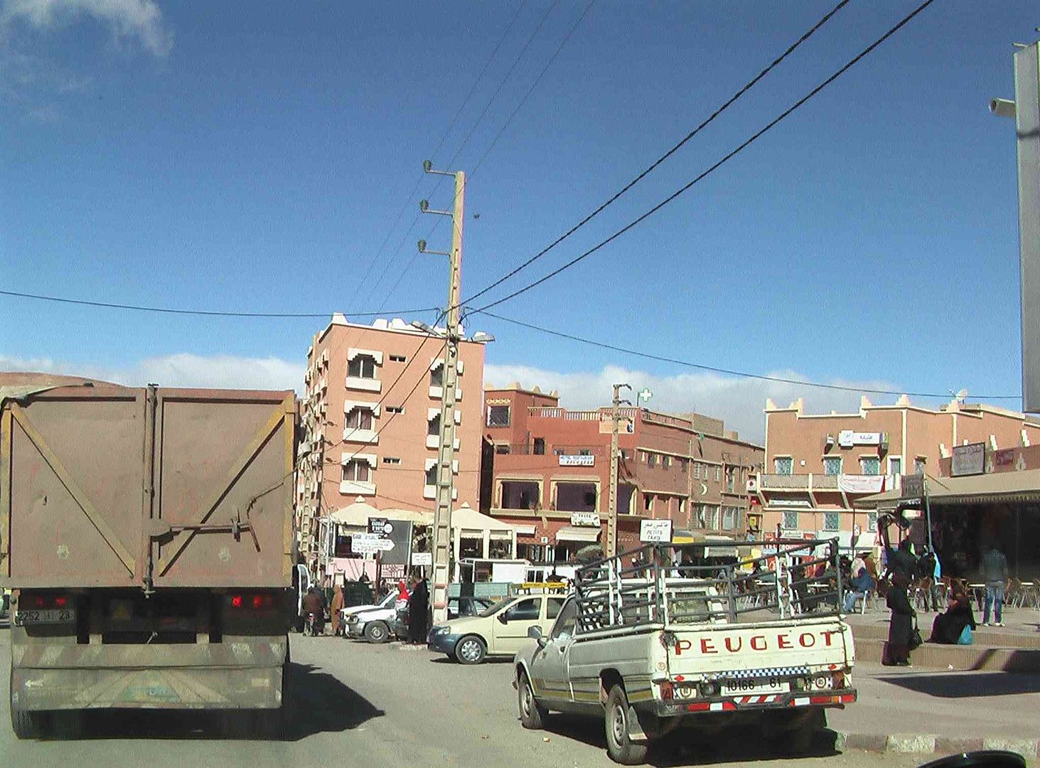
While next was the town of Tinghir which proved to be a bit of a nightmare to get through ..
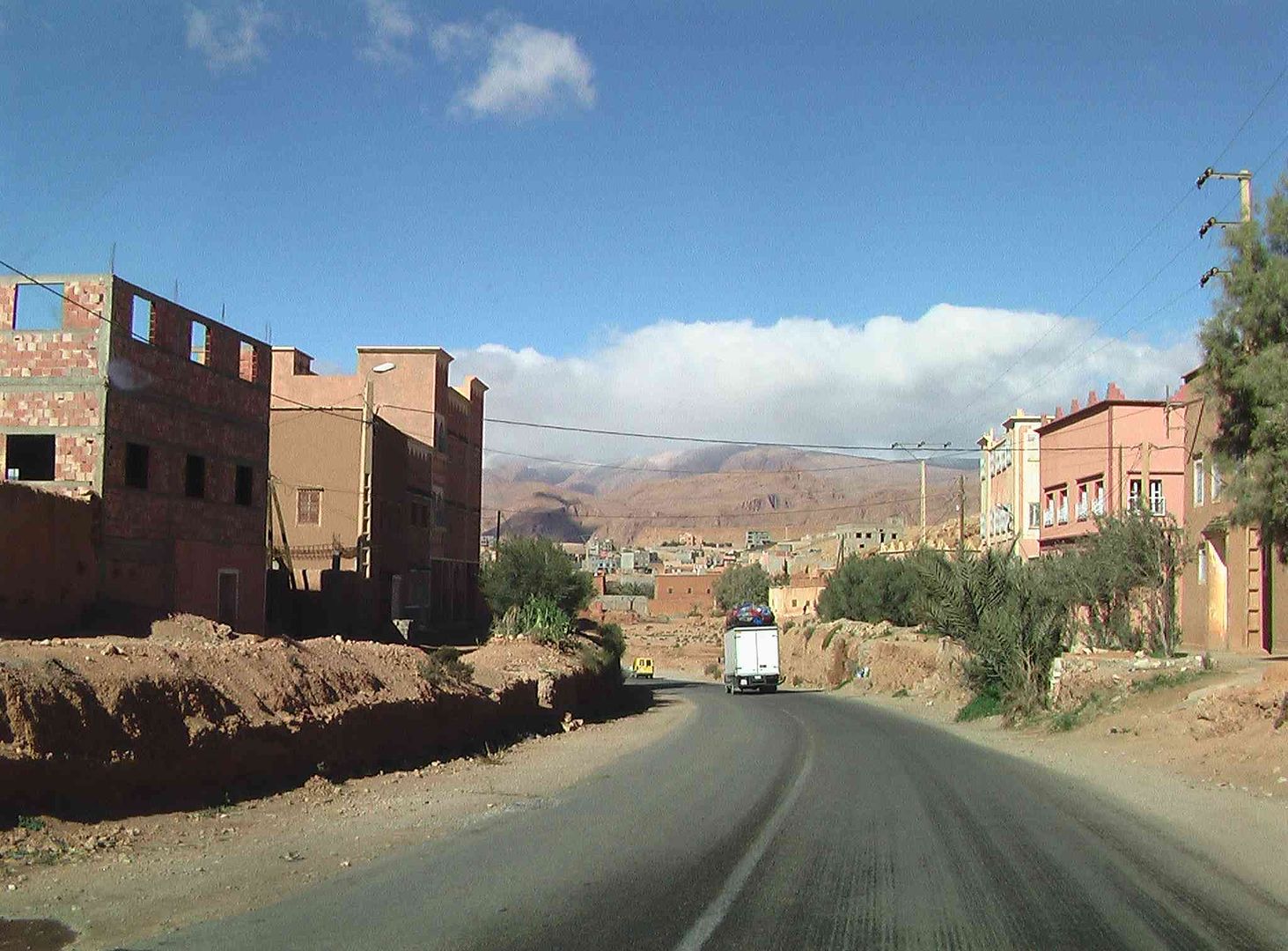
The roadworks that we met last year are sadly in a worse state this year, giving two traffic Policemen a permanent headache as they try to sort out the traffic as they do not have any temporary traffic light systems over here
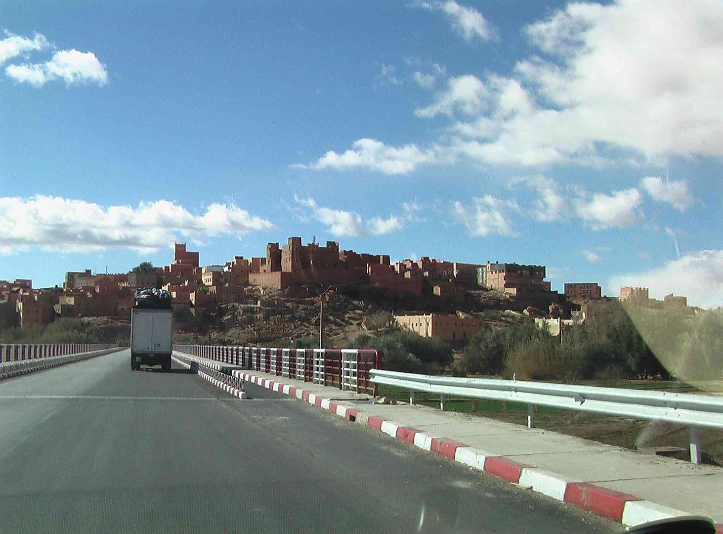
While it took some time to get through the roadworks as the Police finally sorted out the traffic jam, as everyone is in such a rush, we then come into the town centre .
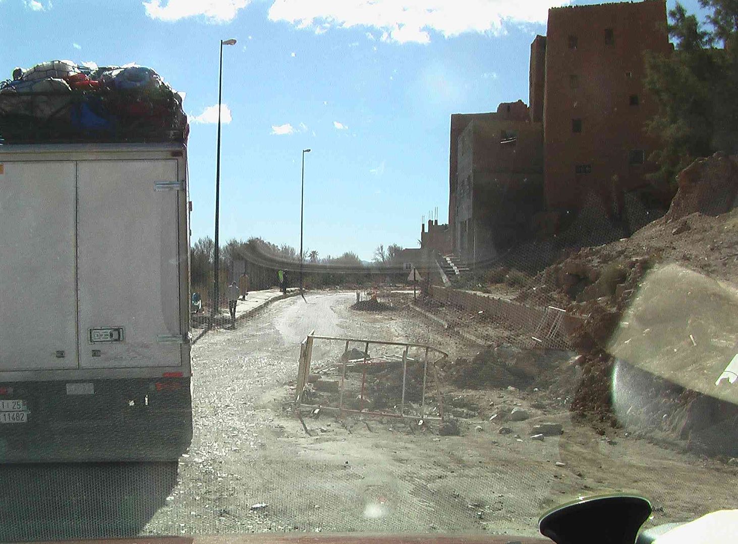
Which proved to be just as busy and problematic as the roadworks. .
At the end of the main street they are widening the road and putting together plots of land for new businesses to be built, along with traffic islands so this bit was like driving Dodgem Cars, as we are on the left hand side of a 4 lane new road, the right hand side of which in this section has yet to be built ..
While in the next picture part of the new right hand side carriageway has got the chippings down
As we then find ourselves on a new stretch of tarmac .
Sadly the nice experience of new tarmac does not last long and we are soon back on the Old N10 National Road of 2 lanes ..
While the next town is Bulmane Dades ..

Which is just as congested as the previous town as we come into the centre behind the 10 Tonne Truck, which in a way was good as he just forced his way through with us following and no one got in his way! ..
Even Manic Taxi Drivers slowed down and even stopped as he went along the narrower sections of the road!...
Managed to get a look back as we climbed out of the town .
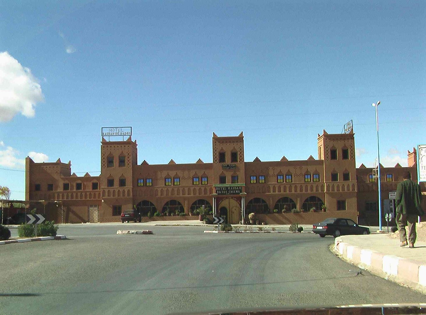
Then a short while later we come to the entrance to our next Campsite ..
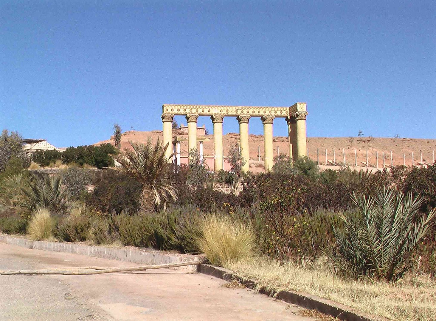
While it has this Roman theme to it, only problem was that it had closed down and gone out of business. So another campsite bites the dust!
So after some lunch it was back on the road to our next planned stop which is in the village of Skoura, and the campsite called Amridil ..
Interesting hole in the face of this rock ..
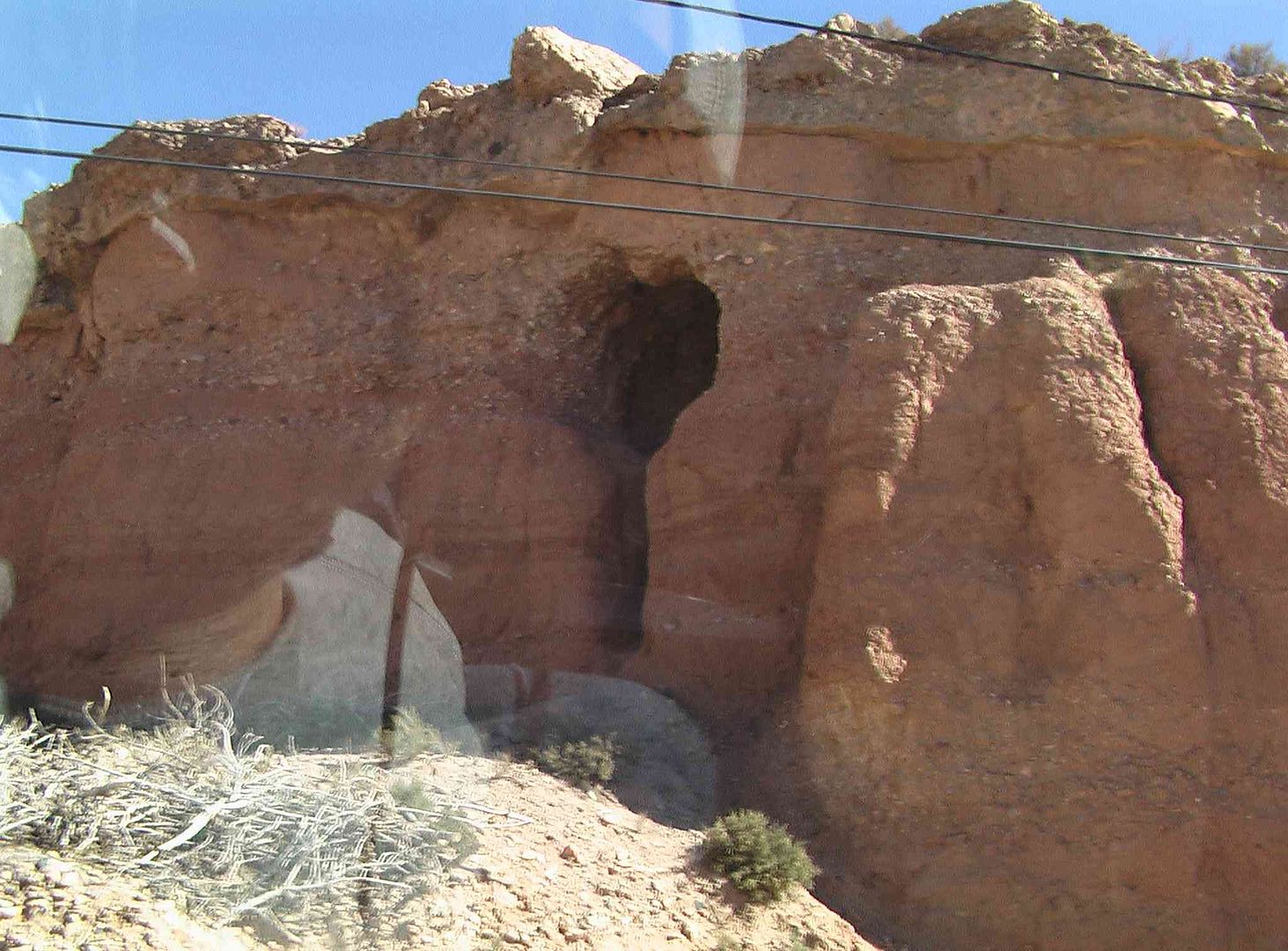
While this one was even more interesting ..
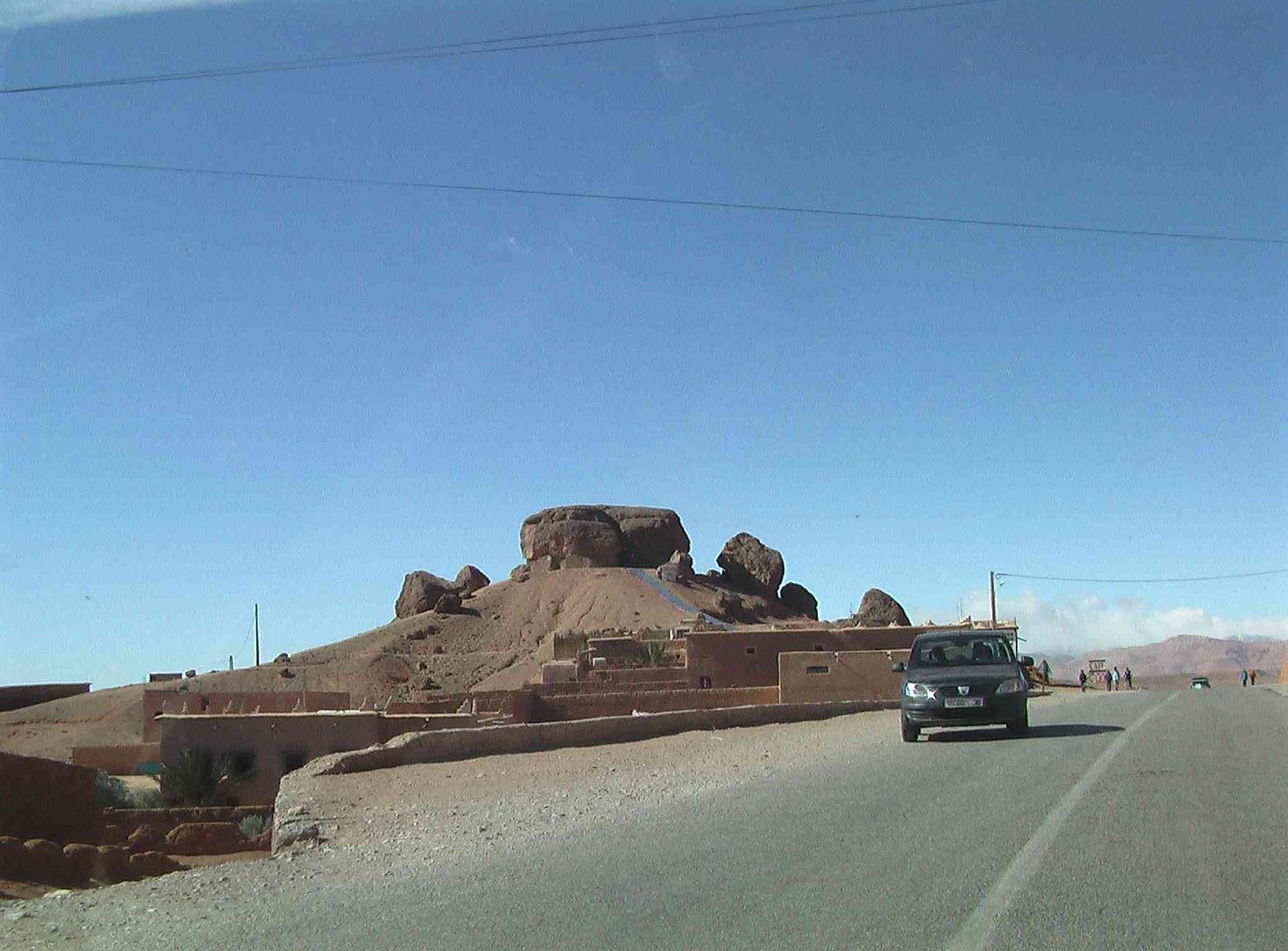
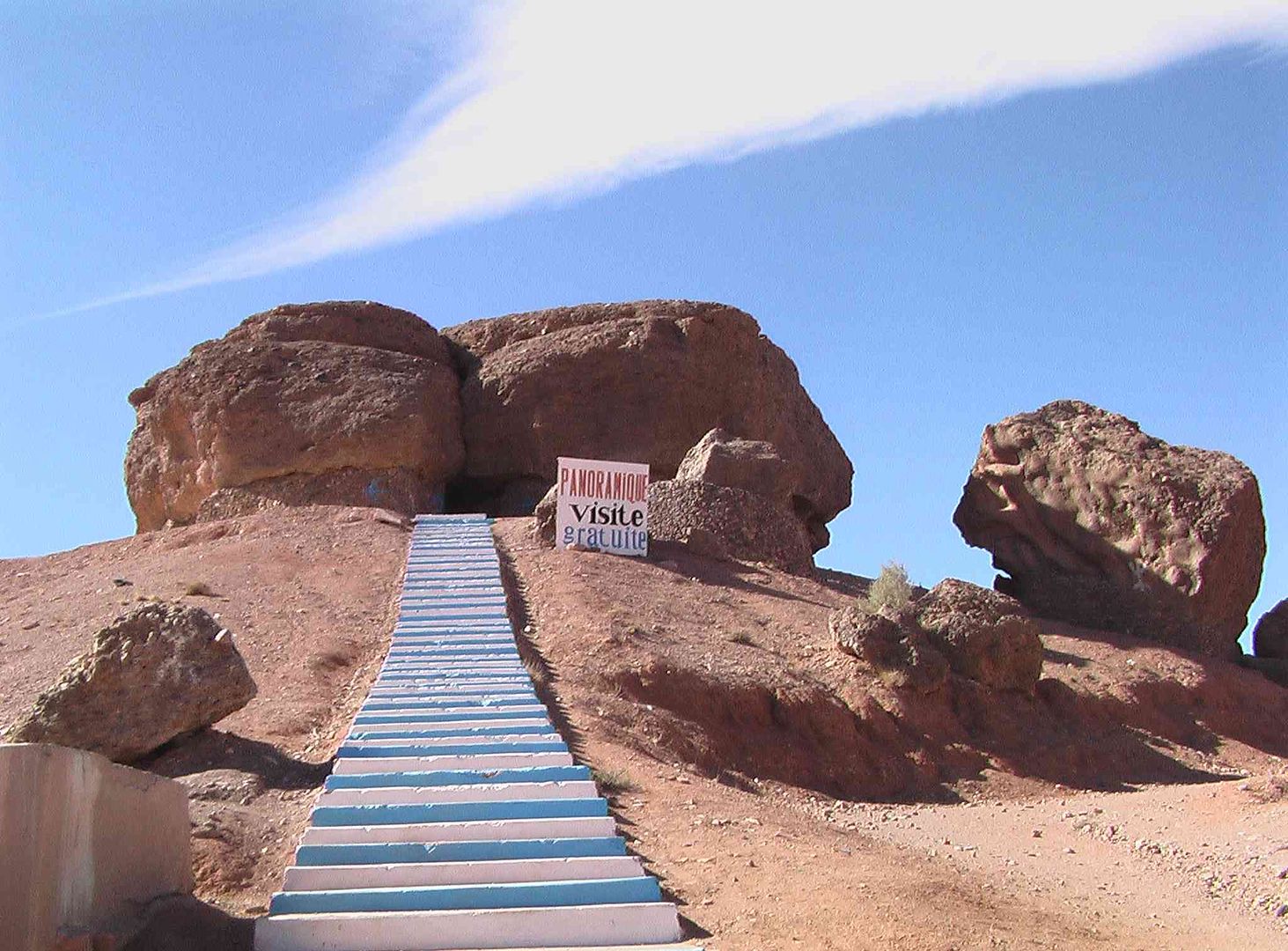
The views all around were superb
As we came back down from the Panoramic View we see this selection of fossils and minerals outside a shop while the owner had gone off to lunch .
Back on the road and another bit of hill climbing .
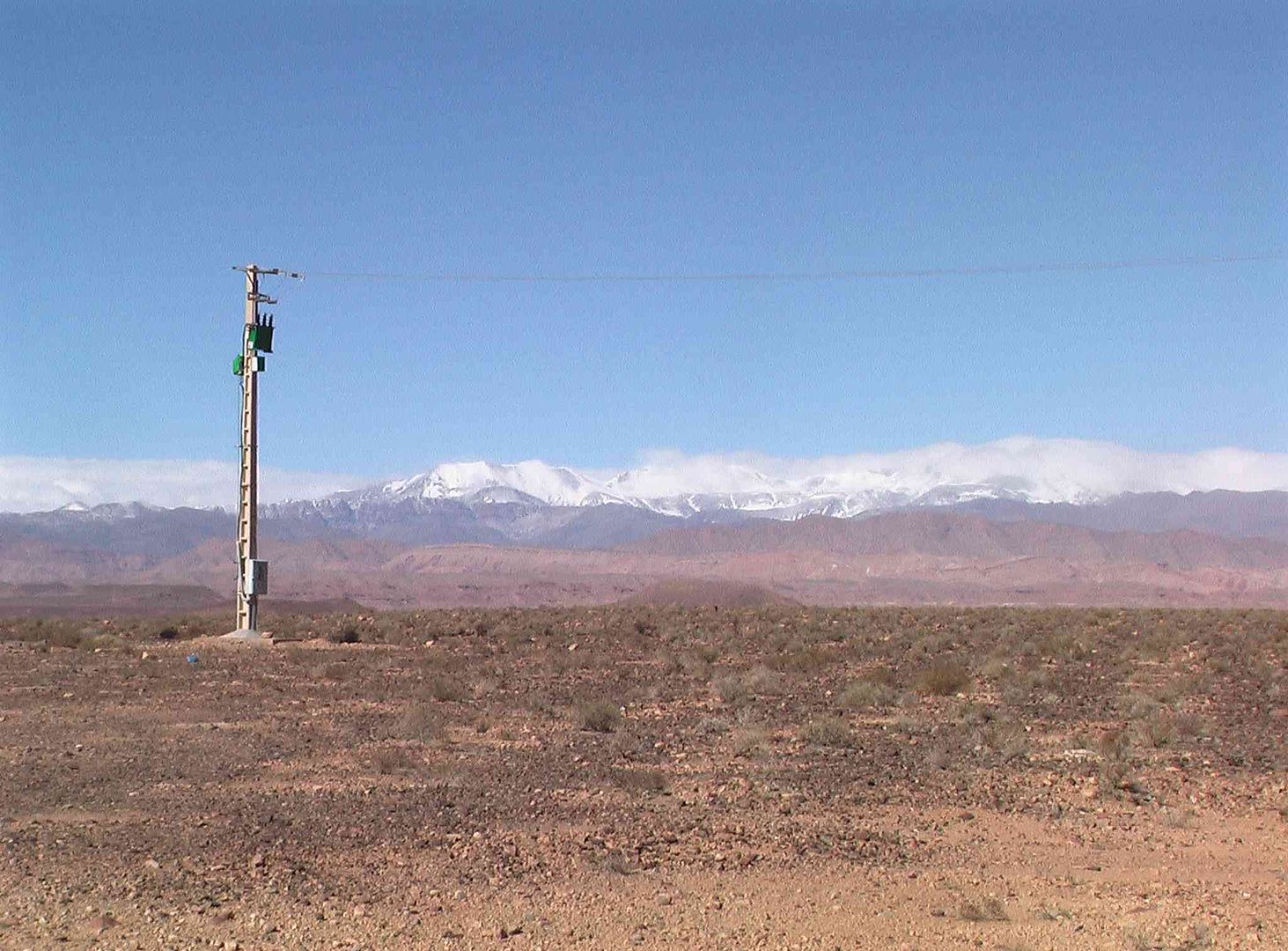
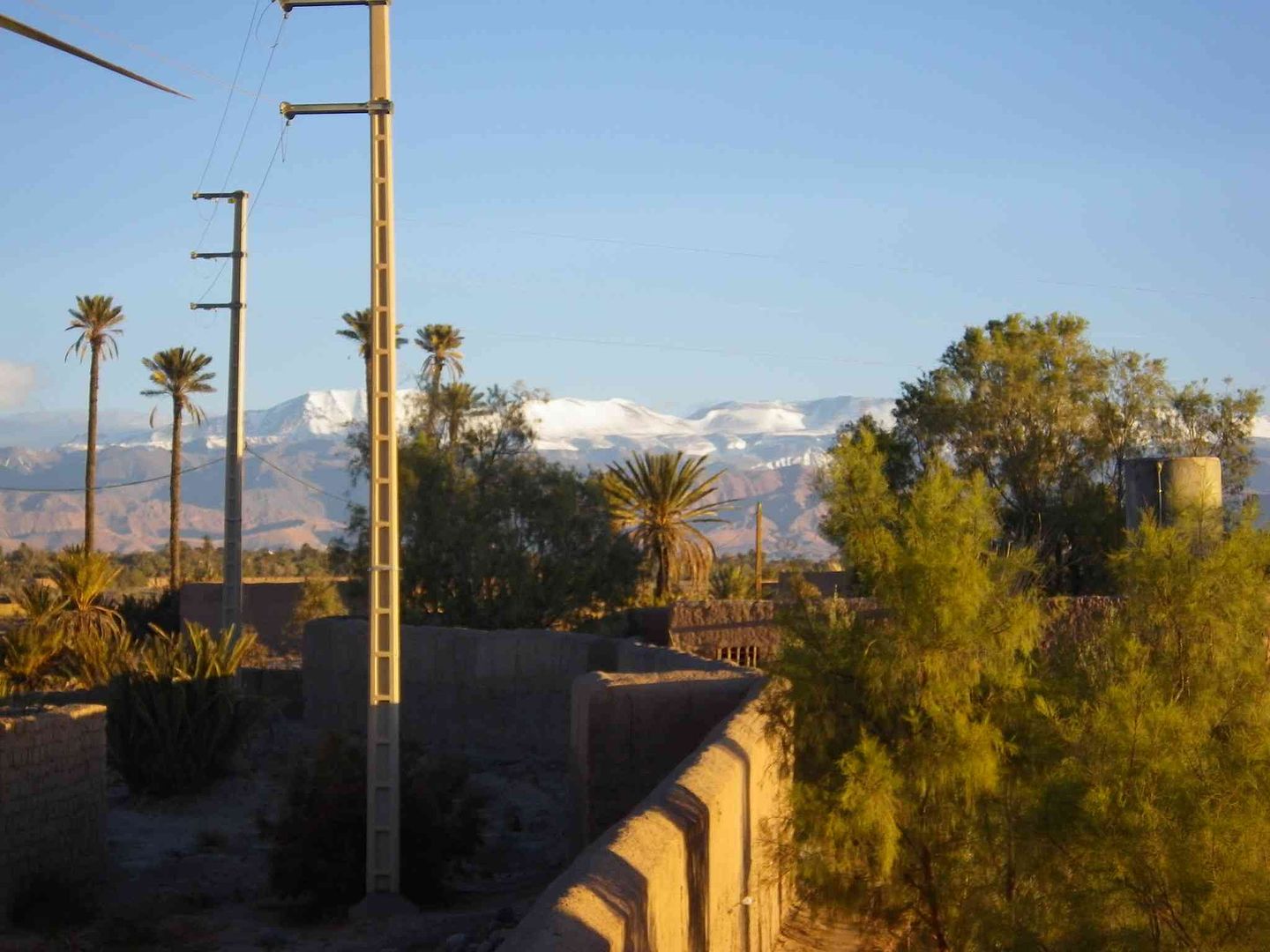
While we look over to the right and see more Snow on the mountains than there was last year, which is a concern as we are hoping to go over them thar hills in a few days time ..
Finally arrive at Amridil Camping so more of that tomorrow ..
tisbah `ala khair (Arabic Good night)
-
01-31-2014, 02:36 PM #98
Senior Member
- Join Date
- Nov 2009
- Location
- South Wales UK
- Posts
- 1,901
Stage 33A A day at Skoura
Salam Alikam
After a nice quiet night last night and the wind dying down from yesterday we decided to have a rest day today and ended up going for a short stroll this afternoon, the results of which are below .
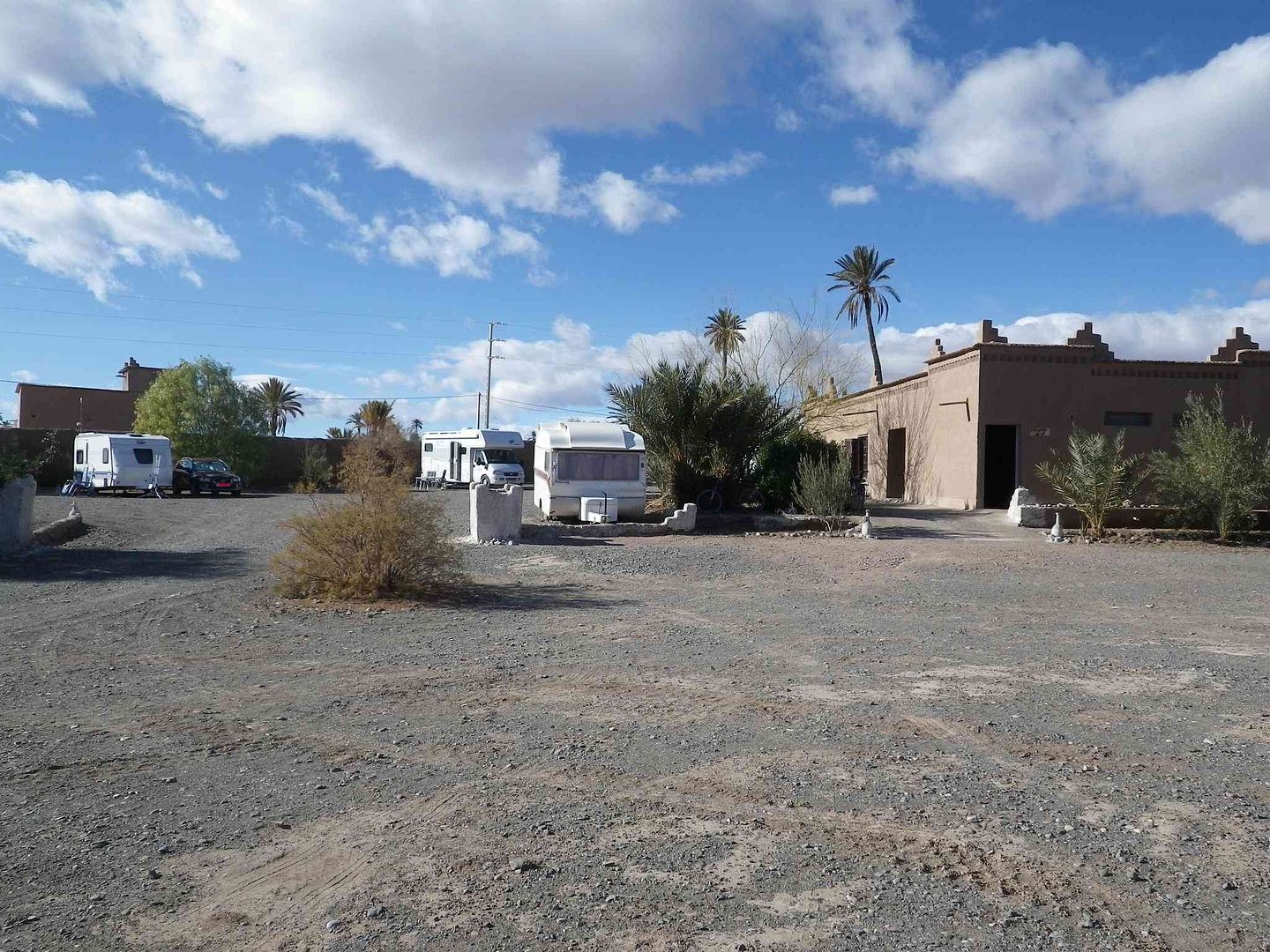
Part of Amridil campsite .
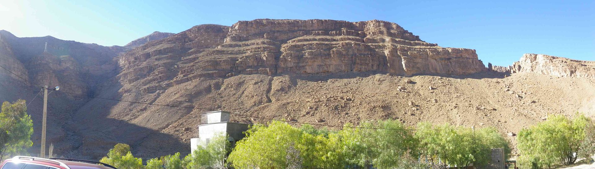
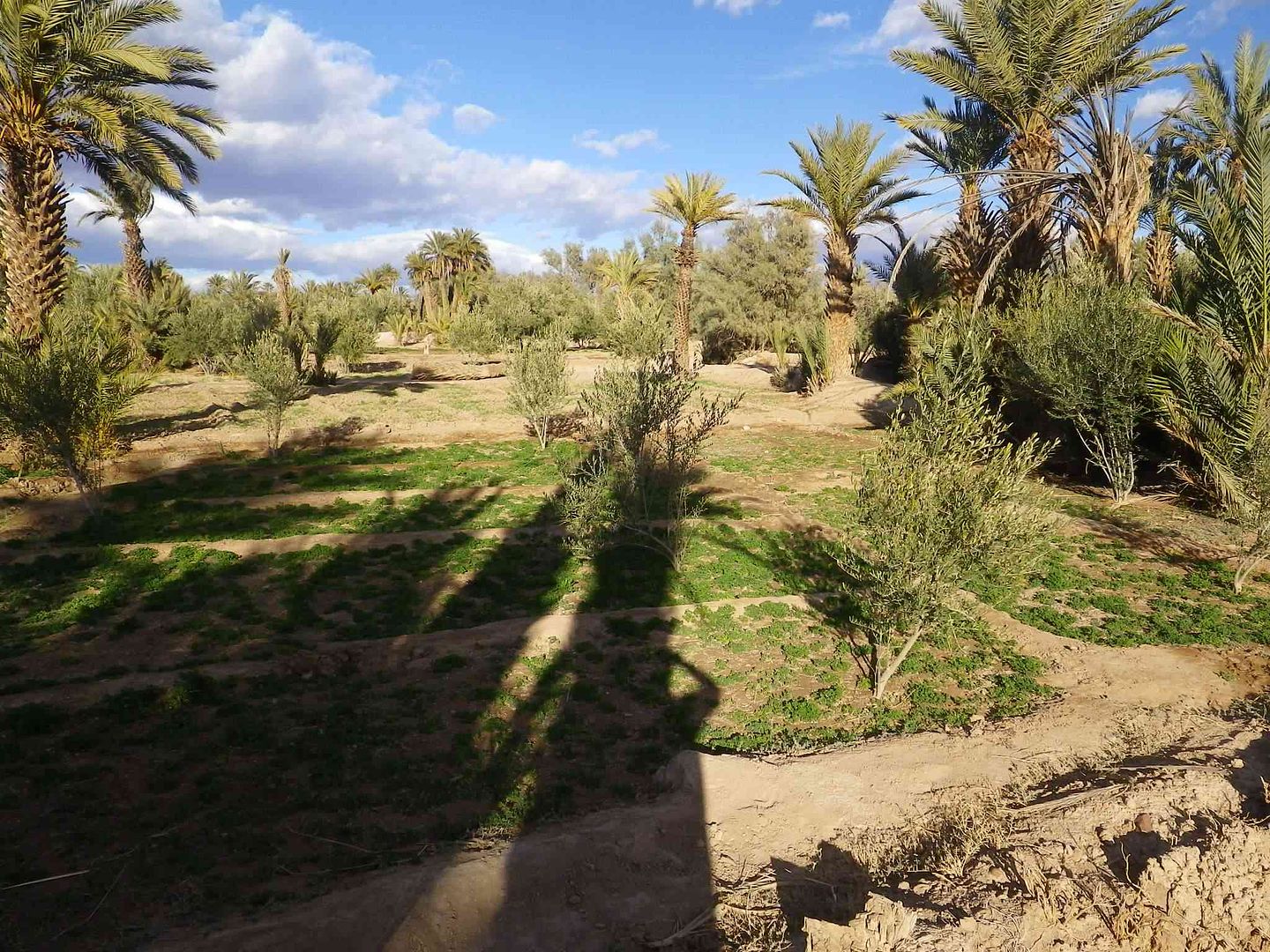
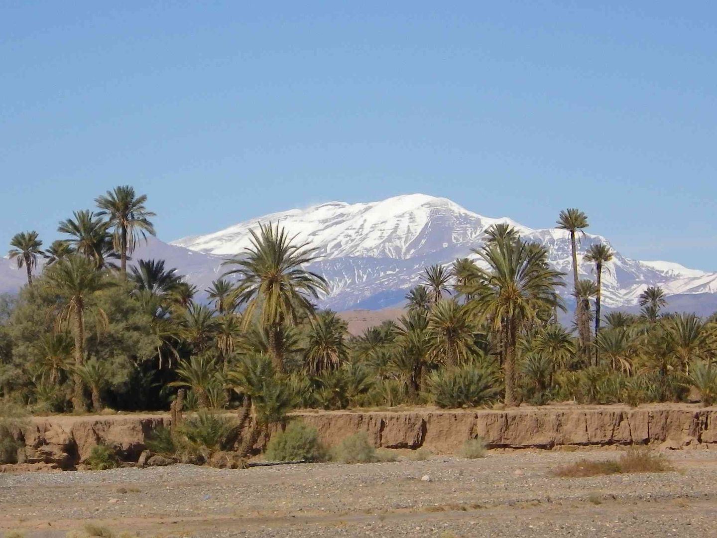
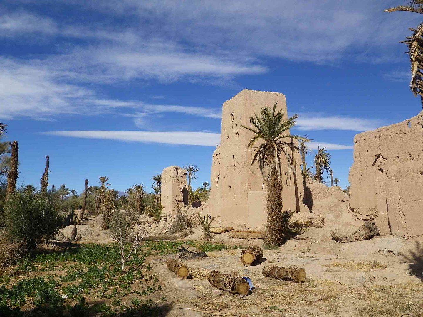
As we set off into the Palmerie we get this nice panorama of the mountains
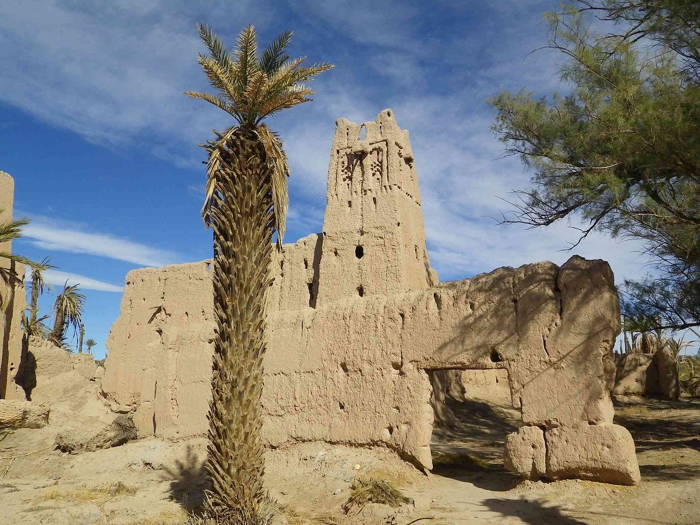
While a bit further on we see some rather nice designs on this old tower .
Then having walked so far through the Palmerie we turned around to make our way back and nearly found ourselves lost, so started to follow the well trodden walls of the irrigation channels ..
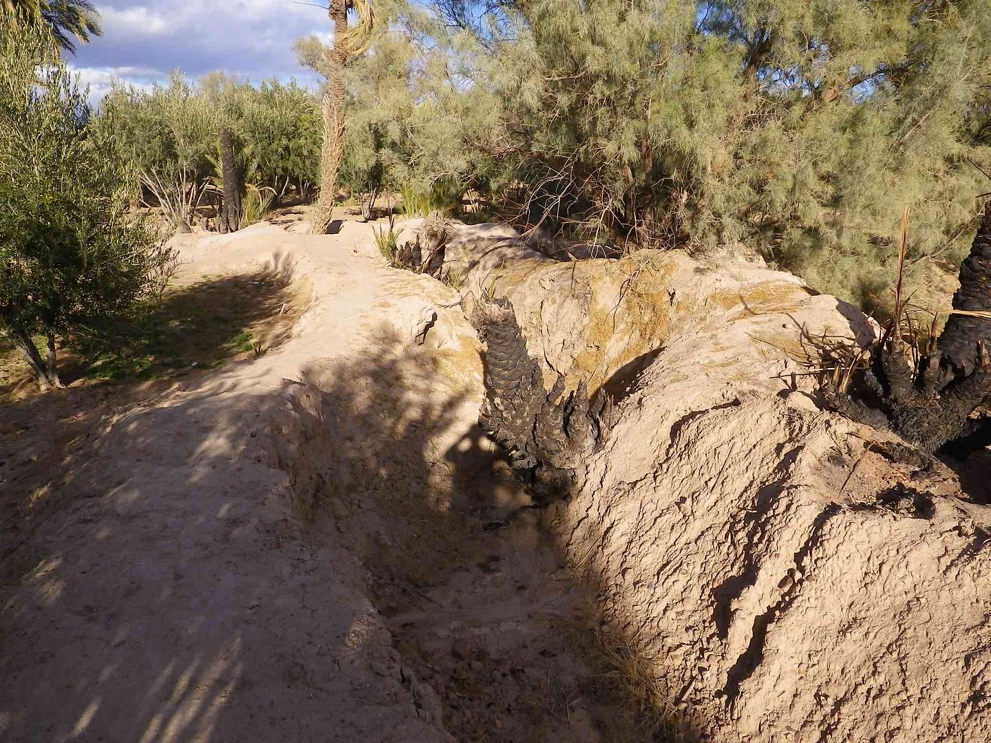
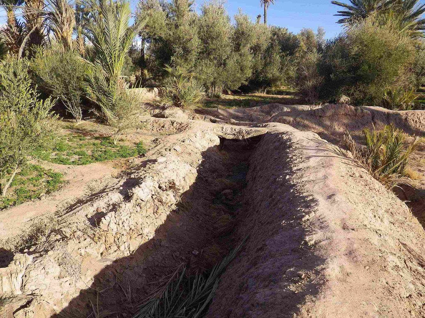
Making sure we did not slip off into the cultivated sections .
Then as we got back to this concrete irrigation duct with water running along it we knew that the campsite was not far away, and by following this we got back safe and sound. .

tisbah `ala khair (Arabic Good night)
-
02-01-2014, 12:42 PM #99
Senior Member
- Join Date
- Nov 2009
- Location
- South Wales UK
- Posts
- 1,901
Stage 33B A second day at Skoura
Salam Alikam
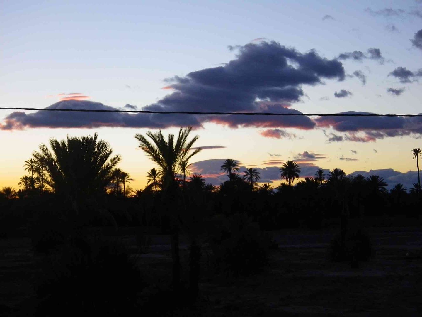
While sunset last night was nothing really spectacular there were still some nice colours & contrasts to be seen ..
While this morning the clouds covering the mountains had disappeared .
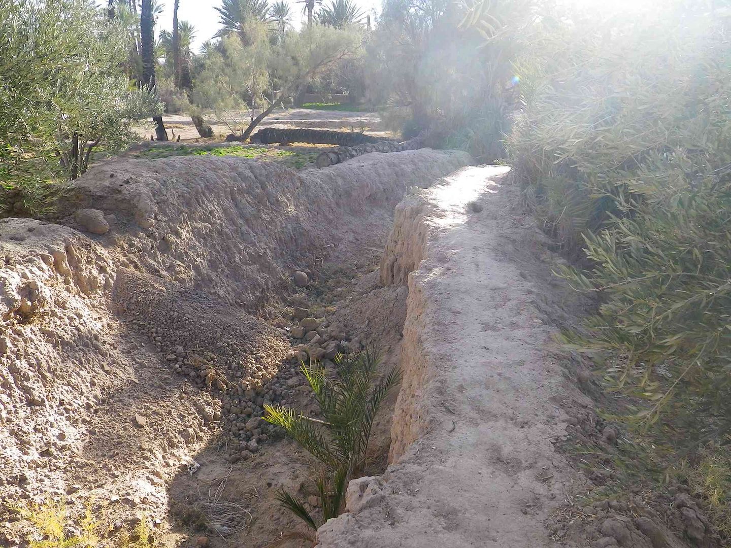
So after breakfast we decided to head off into Skoura going through the Palmerie to get there, while trying to negotiate around the tracks we came to this little hole .
Then we got to the piste and alongside a rather large irrigation channel with no water
While from a different irrigation channel we see again small plots of land growing vegetables or herbs .
As we then pass by the old Kasbah which is more or less ruined .
Picture postcard ..
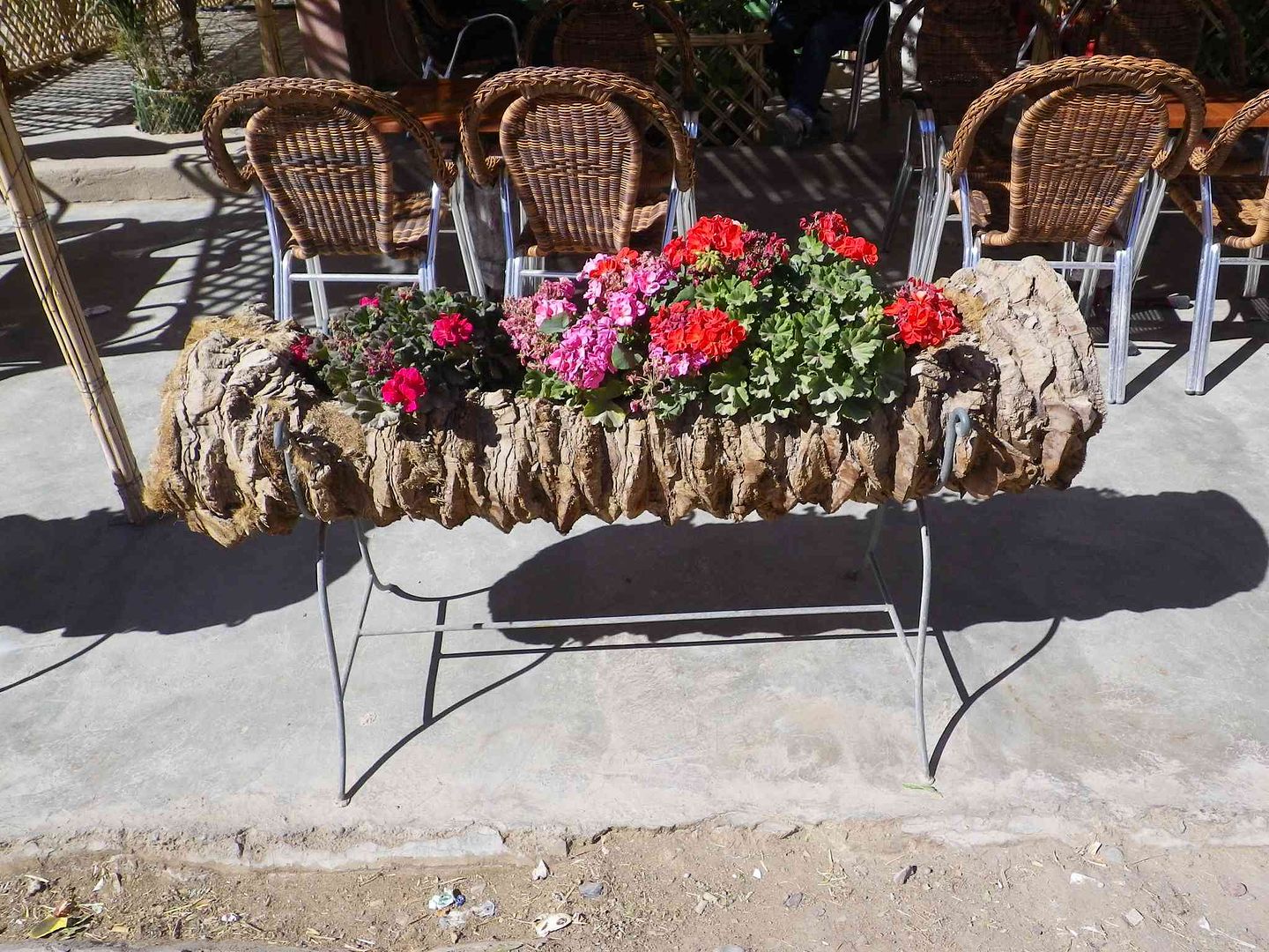
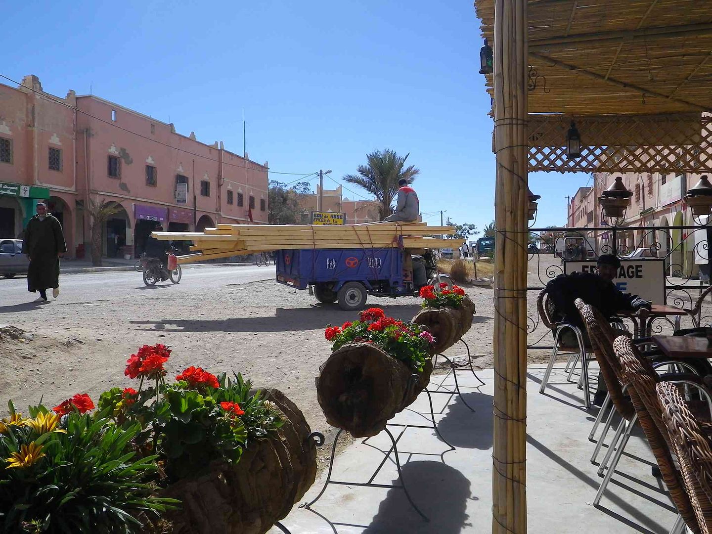
As we got into Skoura we saw another use for old Palm Tree Trunks as they make rather nice flower boxes ..
Then see this totally overloaded 3 wheeler whose driver can only see straight ahead!...
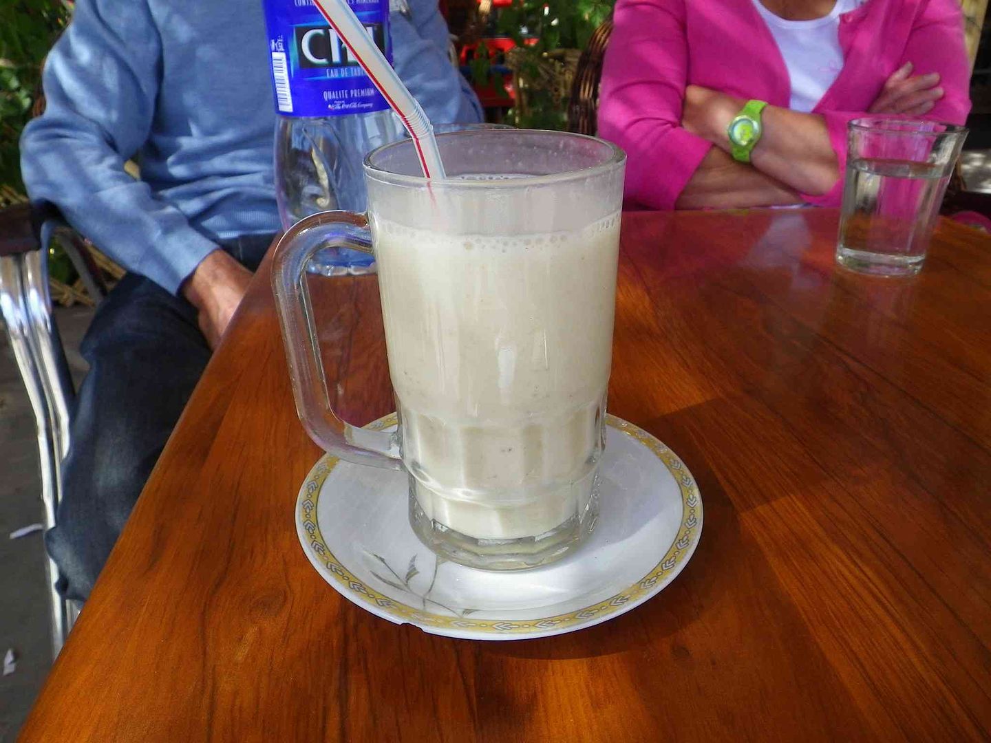
Stopped for lunch and while waiting for the meal to arrive I tried what was a very nice Juice de Banana ..
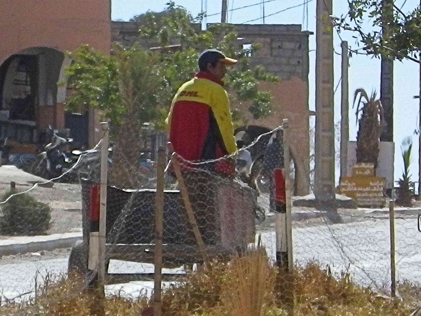
Then spotted this man with a DHL jacket on driving a Donkey & Cart which made me think that DHL might now be offering an alternative to Express or Next Day Deliveries in the format of a 7 Day Delivery service at a much lower price .
Lunch consumed which was not that good as some of the chicken was not fully cooked, so we started to head back to the campsite, passing another Kasbah which is crumbling. .
We then come to a new house which is being built using Mud Bricks for part of the construction, which you can see in the left of the next picture.
In order to retain the heat in the house during Winter while also keeping the place cool in Summer the outer walls are built using a double layer of the Mud Bricks which makes the wall around 30Cm (12 inches) thick, while the inner walls are normal thickness.
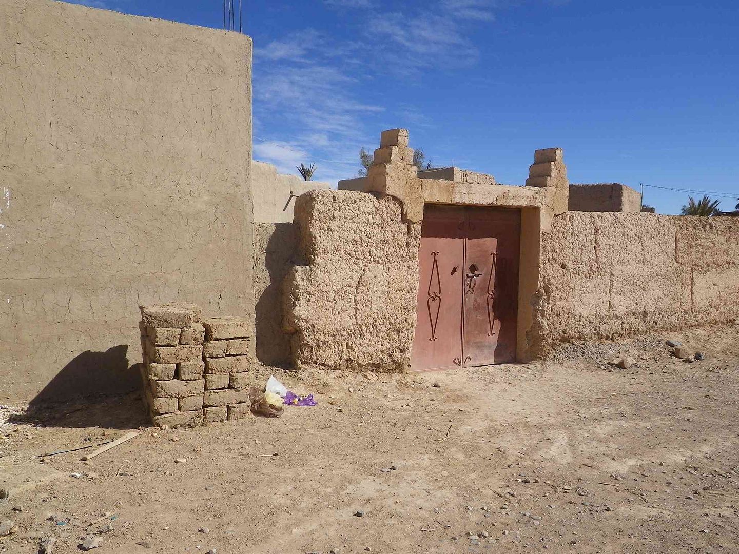
While the next floor starts to take shape with the row of Mud Bricks on top of the outer wall .
Sunset with a few of the small clouds left
Back on the road tomorrow for the next stage, as we now understand that the Tizi-N-Tichka pass is open, while hopefully the weather will remain the same as we get there in around 4 days time .
tisbah `ala khair (Arabic Good night)
-
02-01-2014, 01:04 PM #100
Senior Member
- Join Date
- May 2012
- Location
- Calgary, Alberta
- Posts
- 614
Banana juice???? How the H... do you juice a banana?


 Reply With Quote

Bookmarks